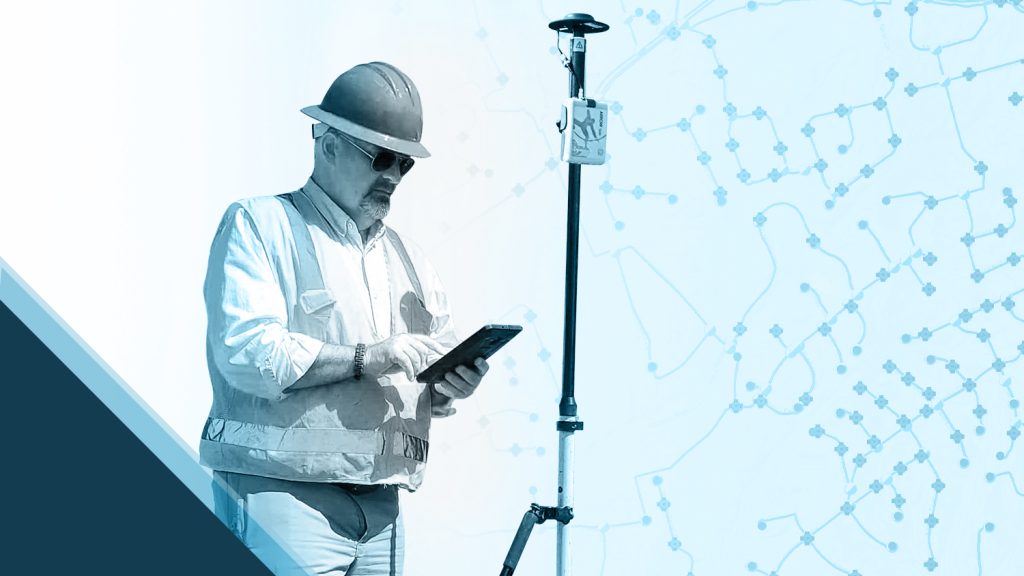
From the early days of GIS, veteran geospatial professional Chris Kahn saw the endless potential of geospatial data. Through his 19 year career in GIS, including at Drone Imagery Lab, LLC, which Chris founded, he has been testing and providing feedback on the technology of Eos Positioning Systems since the company’s inception.
We asked Chris a set of questions to get to know more about him, his passion for GIS, and how he uses Arrow Series® GNSS receivers in innovative ways! Read on to hear from Chris himself!
1. Why are you passionate about your job?
Starting at about age seven, I became fascinated with meteorology. I drew weather maps on anything I could find. Though I first enrolled at Rutgers University as a meteorology major, I quickly discovered the power of spatial analysis. Given I had a questionable radio voice and terrible stage fright which would make a broadcast career challenging anyway, I decided to switch majors to geography. (Ironically, today, my GIS work often takes me onstage speaking to live audiences of several hundred!) After bouncing around the country at various consulting jobs early in my career, I also earned my Masters Degree from Penn State in GIS. Around this time, I settled down to work for a large utility enterprise, where I discovered GIS was still in its infancy in this industry.
Everywhere I looked, I saw potential for expanded use of geospatial data. Today, I am excited to see that GIS, GNSS, and UAV work is not only more pervasive in utilities, but also constantly advancing. Thankfully, I still consider my work both a career and hobby. My passion comes from the fact that “science is never done,” because the more we learn, the more questions we create to answer. I have a natural curiosity to explore the relationships between people, places, and things, and my work allows me to do so without being tied down to one geospatial sub-discipline.
2. How did you first find out about Eos Positioning Systems’ GNSS products?
I first heard about Eos when the company was formed. I was familiar with the CTO, Jean-Yves Lauture, and his talents from having worked with him on GNSS technical and business strategies at a large organization. Around the time Jean-Yves founded Eos, I was tasked with developing a plan to map 1 million sub-inch GNSS points across 9,000 linear miles, in under five years. Based on my conversations with Jean-Yves which, early on, often went well past business hours, I was willing to choose Eos Arrow GNSS receivers, taking the “unproven path” with the company having recently formed. (All of my professional peers were still using long-established brands.) But I felt confident in my choice because of those long conversations and the mutual passion from the person behind what would later become Eos. I could see from the beginning that this company was willing to innovate and become a trailblazer in unexplored areas of GNSS.
3. What do you use Arrow Series® GNSS receivers for?
What’s great about the Arrow Series® receivers is they offer an answer for nearly every situation — from supporting Professional Land Surveyor (PLS) activities, to high-accuracy GIS mapping, to UAV ground control. The laser mapping solution’s tight integration with Esri’s ArcGIS Collector and Laser Tech rangefinders make the Arrow product line extremely versatile. Remember that “pie in the sky” goal of 1 million points over 9,000 miles in under five years that I mentioned? Not only did we successfully complete that project, but its success also quickly expanded other GNSS projects at the same organization. To date, the organization has captured nearly 5 million points across 50,000 miles!
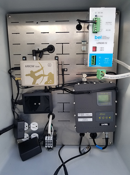
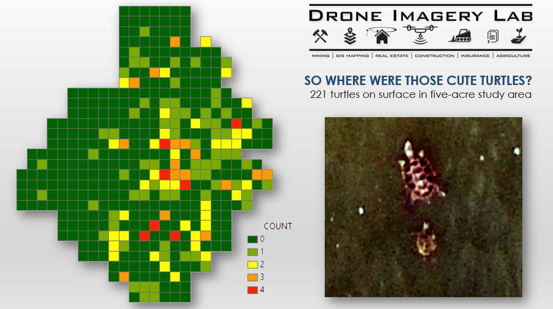
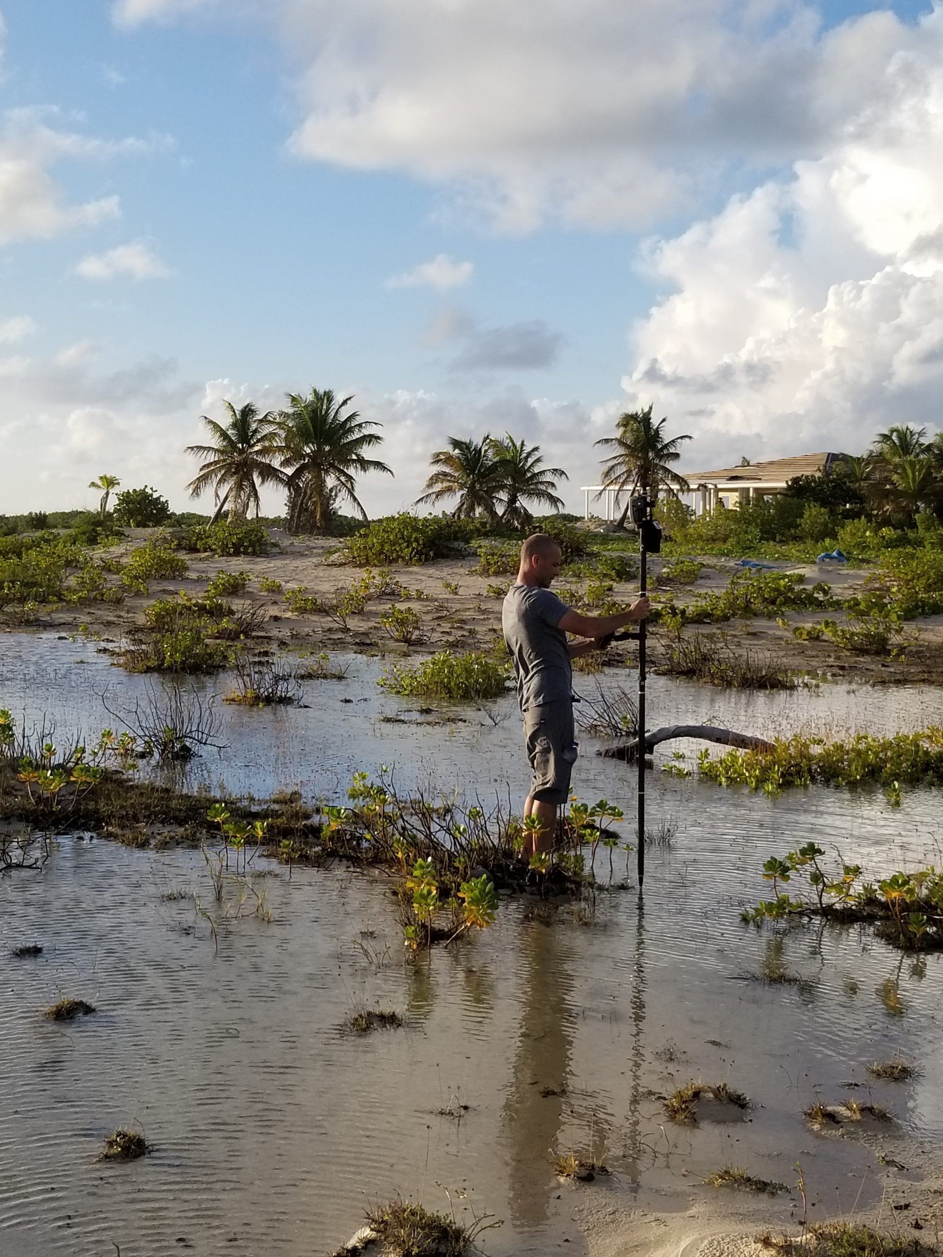
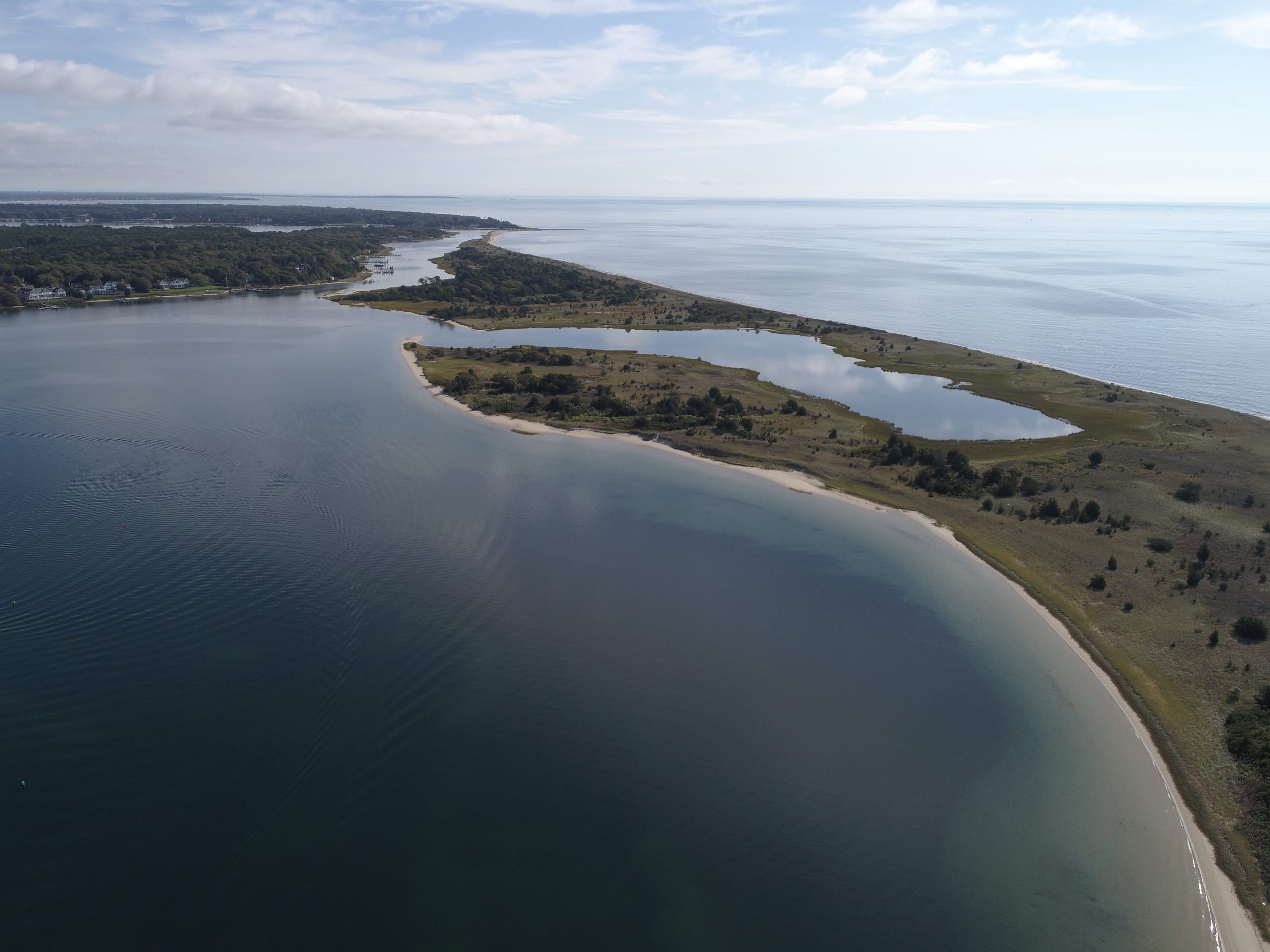
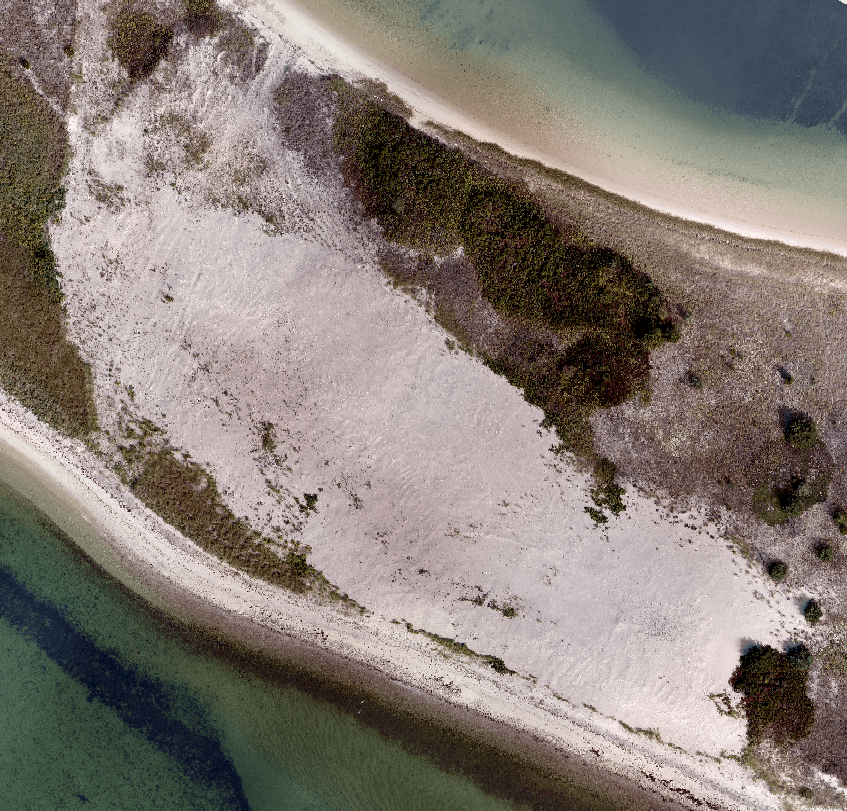
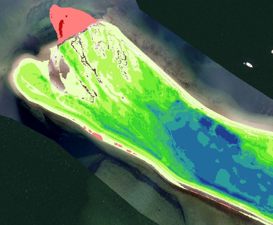
In addition to this first project, I’ve also used Arrow GNSS receivers on projects ranging from precise monitoring of barrier island coastal geomorphology (which require sub-centimeter ground control and drones), to monitoring Terrapin (turtle) mating patterns for wildlife ecologists. I’ve used Arrow GNSS to cut costs for golf course irrigation clients, I’ve set up an Arrow Gold® UHF radio base station on a remote island for a multi-million dollar resort construction project, and I’ve even established numerous private four-constellation Arrow base-station networks for a large U.S. organization. The Eos Arrow Gold base stations vastly improve field workers’ “RTK fix” abilities in challenging environments, such as in urban canyons and under tree canopy. The projects I’ve used Arrow on run the gamut, and I’ve reduced cost as much as 98% at my organization — all while doubling speed and improving accuracy.
4. Do you have a favorite experience or memory from your projects with Eos Arrow?
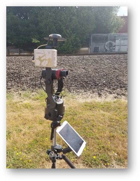
There have been a few, but three stand out. First of all, nothing is more satisfying than turning a skeptic into a believer. One favorite recurring event happens while training field crews. In one training exercise, I completely hid 2-inch washers in a grassy area and recorded their locations using an Arrow. Then I trained crews to use Arrow Gold® with Collector, and I sent them on an egg hunt. I described the exercise as “survey-grade Pokemon Go”. It’s an amazing way to show off the accuracy and ease of use!
A second great experience was introducing Eos Laser Mapping with Laser Tech TruPulse 200X rangefinder and TruAngle integrations. This permits the collection of assets in the middle of a highway with sub-4-centimeter accuracy — without getting anywhere near the traffic. Not only does the laser GIS control traffic costs, but it also increases safety.
The best memory though, is this last one. I was on a tropical island with no Internet, no roads, and no power to speak of. (There were, however, plenty of wild boars, horses, and burros.) My challenge was to support a sub-4cm Collector offline workflow for construction stakeout crews. To do this, I used a locally built power station to stand up an Arrow Gold® base station and UHF radio receivers to deliver RTK corrections to Arrow Gold® rover GNSS receivers.
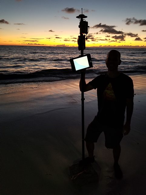
Every other engineering and geospatial firm aware of the project told me that this task was basically either impossible or too tedious and expensive to perform, because it would require expensive and laborious post-processing. Not only did the solution prove them wrong by delivering sub-4-centimeter accurate data offline, but it was also the first time I got to locate a survey monument at exactly sea level (it was in the water!) on a remote tropical beach at sunset. I will never forget that moment.
5. Do you have a favorite feature of Arrow GNSS receivers?
My favorite feature is not a feature. It is the responsiveness of the company. Having worked for years through many sales representatives and account managers of the long-established GNSS world, the positive, innovative, nimble, and no “hidden catch” approach of Eos is refreshing. I am one who is always pushing the question, “What is possible?” I never receive a response of outright “no,” “that will be too challenging”, or the dreaded “It’s not on our roadmap” from Eos. As in the early days, Eos still always responds with thoughtful insight to the problem I raise and proposes a solution. I am proud to see some of my suggestions over the past few years have not only made it into the Eos product line, but by extension into the Esri and Laser Tech integrations. The innovative and proactive spirit of the Eos team to realize potential in what customers are doing and the challenges they face, and then implement solutions within months, sets Eos in a league of its own!
6. Is there anything we didn’t ask you that you’d like to share with us?
I am always excited and eager to see what Eos will be developing next, and try to be vocal and helpful about what I think could help advance GIS technology. I look forward to seeing Eos apply its innovative spirit toward solutions that further bridge the gap between CAD and GIS. The market is ready, in my opinion, for Eos’ talent to continue delivering elegant, open access, and concise solutions to frequently encountered road blocks.
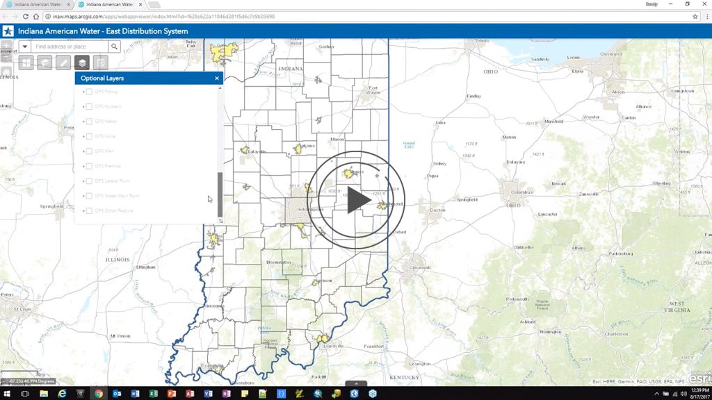
Explore photos and screenshots from one of Chris’s latest projects!


