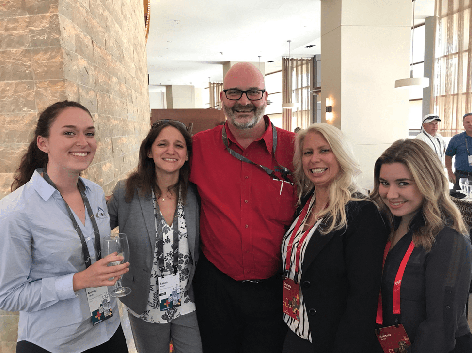
Our March Spotlight features Kenny Ratliff, GIS Manager at Oldham County Water District!
Kenny is a passionate and active member of the GIS community, both in his home state of Kentucky and nationally. His dedication to his day-to-day work in addition to his passion for sharing his work with others make him a perfect choice for our March customer spotlight!
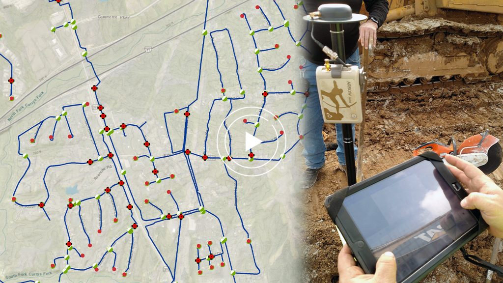
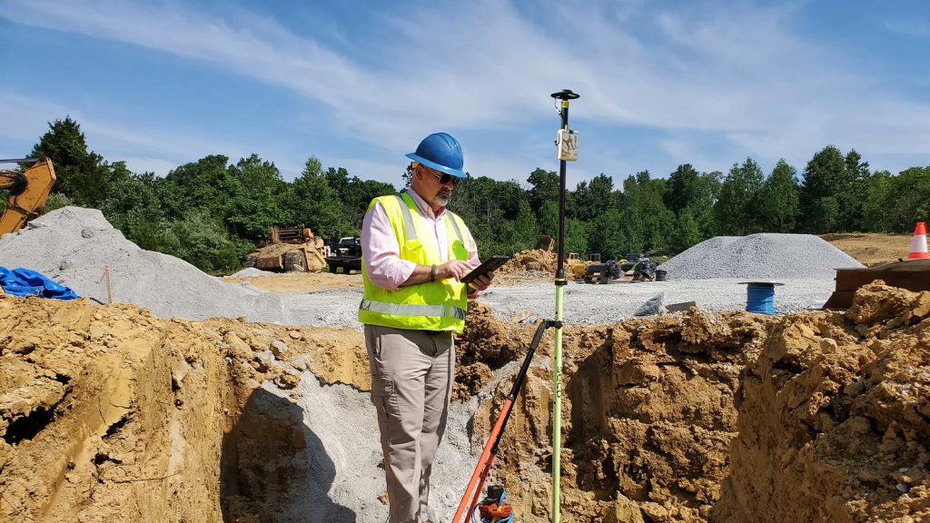
Eos first met Kenny through his work to upgrade the GIS field workflows at Oldham County Water District (OCWD). After hearing that this rural water district had cut their meter-installation costs in half by using the Arrow Gold GNSS receiver and Esri’s ArcGIS Collector, we knew we had to reach out to learn more about the work Kenny and his team were doing.
Learn about Kenny Ratliff’s work:
“In a nutshell, we want to make things as accurate as we can. It’s really about the future.” Kenny said. “We want those guys 20 years from now to look back and appreciate how we may have made life a lot easier and more efficient for them. That’s what it’s all about.”
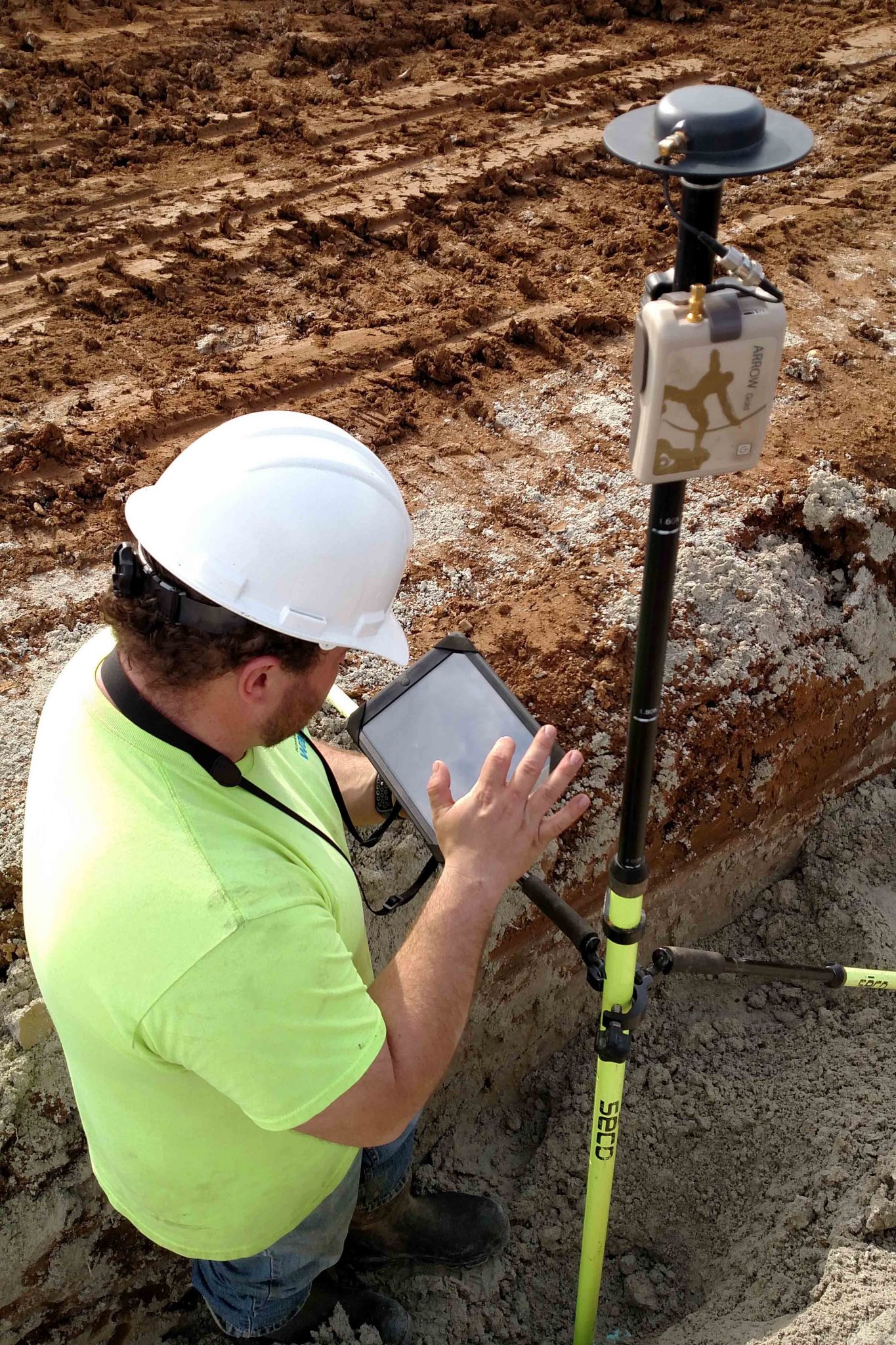
Kenny personally had delved into research to find the best geospatial technology solutions for OCWD’s needs. After testing the Arrow Gold with Collector in the field and achieving a consistent sub-inch accuracy, he realized he had found the perfect workflow.
“Installing each meter used to cost us approximately $211.91 in labor and fuel,” Kenny said. “With high-accuracy mobile GIS configuration, the cost per meter went down to $111.19.”
Now, Kenny dedicates his spare time to educating others about his journey with GIS workflows. In addition to his job at OCWD, he also helps guide other water utilities through their own technology upgrades through his conference presentations, public ArcGIS StoryMaps, and his willingness to always lend his ear and expertise.
Along that line of leading by example, Kenny recently joined Esri for a webinar on the topic showing how his water-district’s use of the ArcGIS platform has expanded into numerous areas of business, such as water line locations, valves, and meter lids. He even took the extra step to share his story with others through an ArcGIS StoryMap, “Daily Workflows with GIS + GPS.”
“In a nutshell, we want to make things as accurate as we can. It’s really about the future.” Kenny said. “We want those guys 20 years from now to look back and appreciate how we may have made life a lot easier and more efficient for them. That’s what it’s all about.”
Kenny’s constant dedication to both innovating with GIS and spreading his lessons to others through different platforms is incredible to see. To learn how it all began, read the very first case study about Kenny’s work to dramatically reduce OCWD’s cost of meter installations!

