
Eos Locate™ for ArcGIS® was the world’s first real-time, underground utility mapping solution for ArcGIS users. This brochure explains at a high level the value of, and requirements for, using Eos Locate™, including:
- Which Arrow models work with the solution
- Which Esri ArcGIS apps work with the solution
- Which underground utility locator models work with the solution
- Value of real-time underground utility mapping directly to ArcGIS using high accuracy from Arrow GNSS receivers
Last updated June 2024
Explore Related Knowledge Base Items
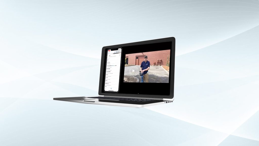
Free Eos Locate™ Training Workshop: Request the Recording
Eos is pleased to offer a free training workshop for Eos Locate™ with ArcGIS Field Maps. Learn how to map underground utilities with this partnered solution.
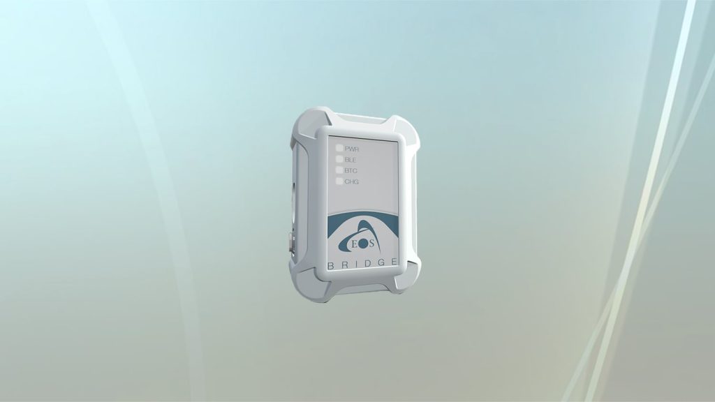
Eos Bridge™ Datasheet: Download Technical Specifications for the Bluetooth® Connector
Eos Bridge™ datasheet: Key features and technical specifications for the Eos Bridge™ Bluetooth® connector for iOS from Eos Positioning Systems.
Categories: Datasheets, Eos Locate™