Feature Story
/// Kinetik Employees Embrace Comprehensive, High-Confidence Enterprise GIS, Usage Increases 5,000%
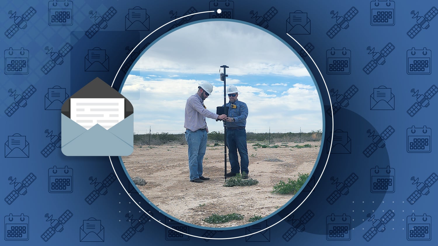
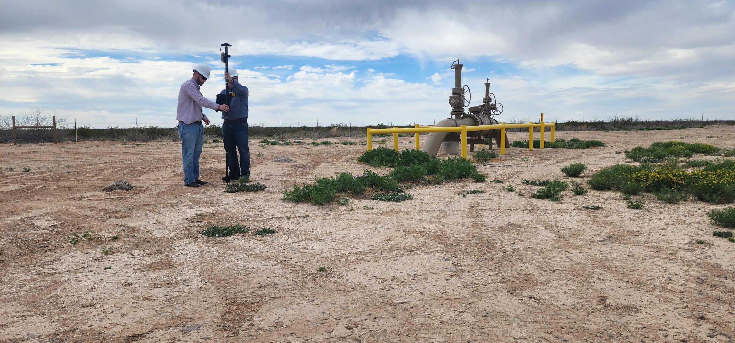
As the large Texas midstream pipeline operator, Kinetik operates over 2,000 miles of natural gas, natural gas liquids, crude oil, and produced water pipelines. Starting with “just four guys and a truck” ten years ago, today they have grown due largely to strategic acquisitions. Recently, Kinetik embarked on a journey to reconcile and field-verify numerous asset records from over a decade of acquisitions. The result of deploying high-accuracy, easy-to-use field technology and enterprise GIS is over 5,000% increase in GIS, drastically improved confidence in the GIS, and streamlined workflows for employees in the field and office.
Industry News
Are you a consultant whose work requires creating maps? Whether your team is big or small, our team can help you find adaptable, affordable, easy-to-use solutions. Browse our GNSS solutions for consultants.
Webinar: Galileo High Accuracy Service Features, Hardware and Applications
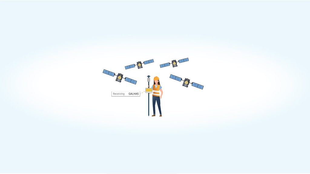
In this webinar hosted by GPS World and sponsored by Tallysman, you’ll learn the latest on Galileo HAS. Galileo HAS is the new global and free-of-charge precise point positioning (PPP) high-accuracy corrections service. Register today to save your spot. You’ll also learn about initial test results with the Arrow Gold+ and Galileo HAS from Eos CTO Jean-Yves Lauture. Webinar is Thursday, September 28.
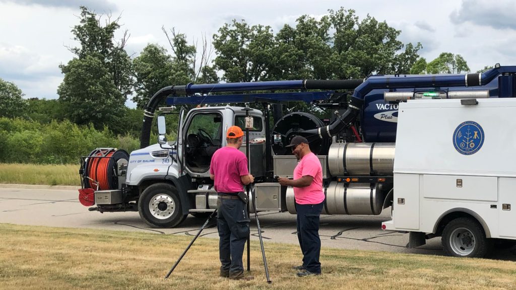
In case you missed it, Eos customer City of Saline, Michigan, was featured in Water World magazine. By bringing their GIS in house and completely transforming the accuracy of their utility data, the Saline Public Works Department has built a system of record that will help them track incidence response, streamline regulatory compliance, and better plan future capital investments, among other gains.
Al’s Corner: Technical Tips
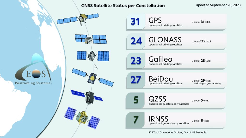
Current GNSS constellation status for September 20, 2023:
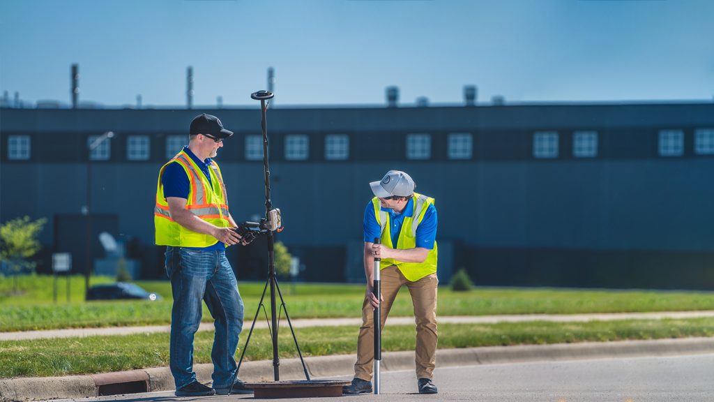
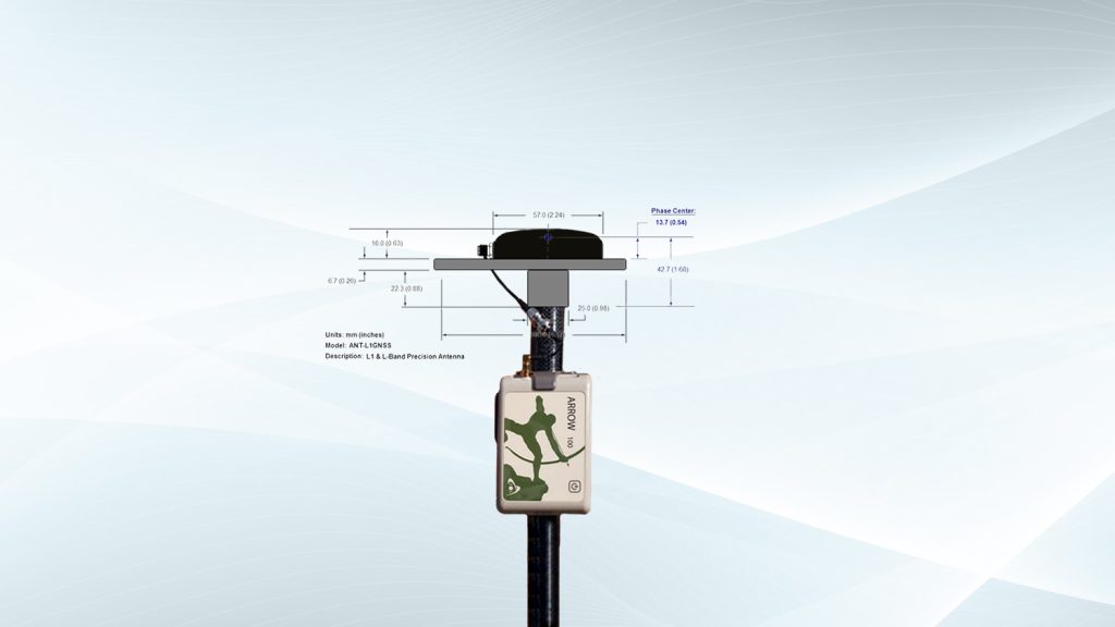
How Do I Calculate the Total Antenna Height for Arrow 100® and Arrow 100+™?
Do you use the Arrow 100 or Arrow 100+ with RTK? If so, this article is for you. Follow these steps to calculate the total antenna height.
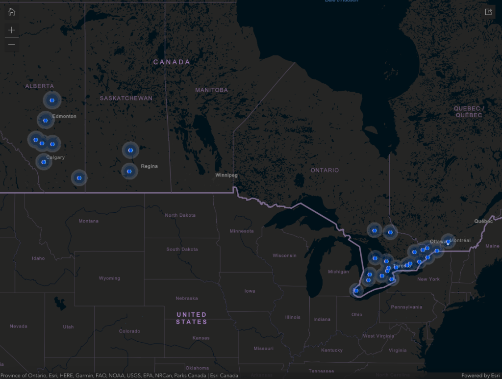
Are you looking for a four-constellation GNSS base station in Canada? Check out this new web map from our Canada team to find the base station nearest you. You can also inquire with our team on how to set up your own base station.
Customer Spotlight
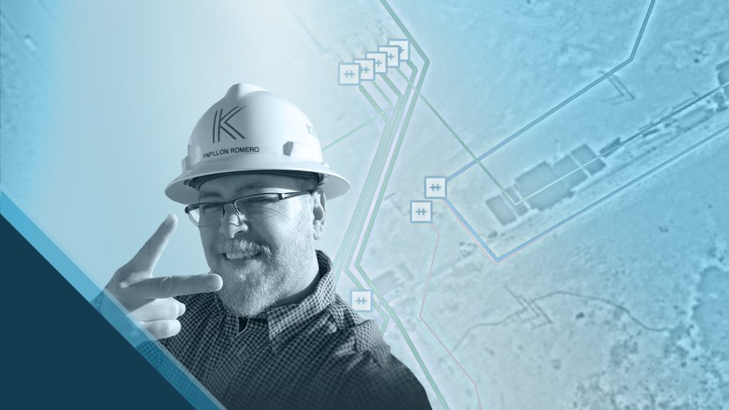
Customer Spotlight: Papillon Romero Increases GIS Accuracy at a Texas Pipeline Operator
Papillon Romero believes a GIS is the backbone of any pipeline operator’s data management. See how Papillon is making a difference as the GIS Manager at Kinetik, a large Texas midstream pipeline operator.
Upcoming Events
Salon Affaires Municipales
September 28-30 | Quebec, Canada
Rendez-vous with members of our team in booth 304 and learn about using GNSS solutions across Quebec!
WEFTEC
October 2-4 | Chicago, Illinois
Join Eos in the Esri booth! Learn how your organization can benefit from using GNSS in your water, environmental, and related projects.
MN GIS/LIS Consortium
October 4-6 | Duluth, Minnesota
Our local representative will be available during all expo hours to answer questions about GNSS, whether you’re a veteran or just getting started.
INTERGEO
October 10-12 | Berlin, Germany
Visit our staff at INTERGEO for rich conversations about the current status and future roadmap of GNSS, and see what’s new from our team.
Esri IMGIS
October 10-12 | Palm Springs, California
Visit Eos in the expo hall to get your hands on our latest technology, and join our CTO in his Tuesday presentation. You’ll learn about Galileo HAS, a new free 10-20cm GNSS corrections service available worldwide.
Esri Water Meetup: San Antonio
October 18 | San Antonio, Texas
We’re excited to share lunch with San Antonio-area water professionals. You’ll have the chance to see a real Eos GNSS receiver and ask us our local representative any questions. Registration is free but required.
Learn more and register >
GÉOMTL
October 18-19 | Quebec, Canada
Our team will be on hand to discuss GNSS applications in French or English.
Esri Gulf Coast UC
Oct. 31-Nov. 1 | Fort Worth, Texas
Ask our representative any questions about GNSS, RTK, and getting high-accuracy in ArcGIS apps at our expo table.

