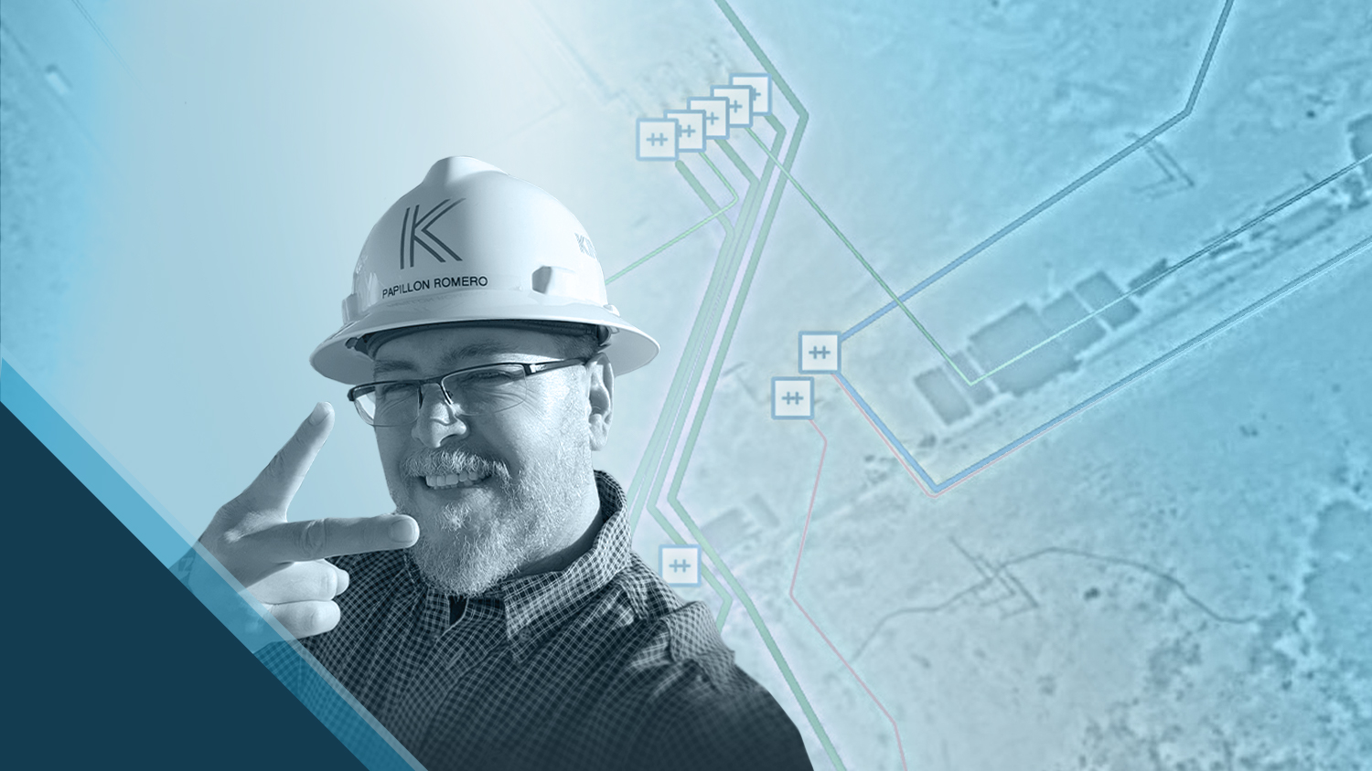
Papillon Romero believes a geographic information system (GIS) serves as the backbone of any pipeline operator’s data management — and as GIS Manager at Kinetik, he ensures that backbone is strong. Kinetik is the largest midstream provider in the Delaware Basin. They operate over 2,000 miles of natural gas, natural gas liquids, crude oil, and produced water pipelines. In 2021, Kinetik enlisted Papillon’s expertise to build a comprehensive, accurate, and reliable GIS for their employees.
I like making a difference, I like creating, and I like helping people make their jobs easier. Working with Eos Positioning Systems and their tools helps me do that.
Using Eos Arrow Gold® GNSS receivers alongside Esri’s ArcGIS® Field Maps, Papillon empowers field technicians to collect high-accuracy data efficiently and easily. The workflows Papillon developed provide seamless communication methods between field and office, which has increased access to accurate GIS data for their over 350 employees.
Discover more about Papillon’s achievements and day-to-day work by scrolling!
1. Why are you passionate about your job?
I like making a difference, I like creating, and I like helping people make their jobs easier. Working with Eos Positioning Systems and their tools helps me do that. My day-to-day work changes constantly; things are always moving. One day, I might be out in the field training some of our guys on using the Arrow Gold. Other days, I’m in the office just chugging away. I might be working to review data collected with the Field Maps app, stored within our editable layers in ArcGIS Online. Or, I could be publishing updated layers to our web map portal, creating numerous wall maps, or performing regular data management maintenance.
2. How did you first find out about Eos Positioning Systems’ GNSS products?

When I was hired by Kinetik a year and a half ago, we already had two Arrow Golds on hand. I had never used one before, so I educated myself on how they work and how to set them up. Using online resources, I set up the Arrows with our iPad® devices and ArcGIS Field Maps for data collection. From there, we were all ready to go.
3. What do you use Arrow Series® GNSS receivers for?
We have to know where our meters are; this is really valuable to us. We also have to know exactly where our pipelines are in case there’s a catastrophic failure. If there is, we need to excavate it immediately.
4. Do you have a favorite experience or memory from your projects with Eos Arrow?
After I taught myself how to use the Arrow Gold with the resources available online, I reached out to an Eos representative to come on-site and validate how I set up the Arrows and our tablets. I wanted to make sure I wasn’t missing anything with the workflow. It was such a cold day! We went outside the building in our parking lot to take some sample shots, and we were both crying from the wind chill. We were out there for only 10 minutes, but we had tears streaming down our faces. Turns out, everything was correct. So, basically, I paid him to come hang out in the cold for 10 minutes!
5. Do you have a favorite feature of Arrow GNSS receivers?
My favorite feature would be that the Arrow integrates seamlessly with Field Maps. That’s been invaluable to us, especially when we’re using editable layers. Editable layers are critical to what we do because they enable multiple users to collaboratively make edits using ArcGIS Pro in the office, or using ArcGIS Field Maps in the field. These edits are live and visible to everyone within the same ArcGIS Online group concurrently. Also, not only can we have our line locators out with the Arrow Gold collecting data points, but also, we can use the receiver for other disciplines to capture or correct features that they work with every day (like launcher/receivers, meters, or valve locations).
6. Is there anything we didn’t ask you that you’d like to share with us?
I’d like to share that the Eos team has been really helpful. Any time I had a question or needed a replacement part or piece, they’ve gotten right on it. They’ve sent me what I needed (e.g., a quote), I’ll order it, and it ships directly to my office.


You May Also Like One of These Posts

Kinetik Employees Embrace Comprehensive, High-Confidence Enterprise GIS, Usage Increases 5,000%
In the Delaware Basin, Texas midstream pipeline operator Kinetik has transformed GIS and location accuracy in the field and office.
Efficiently Capturing High-Accuracy New Pipe Construction [A 2022 Esri UC Presentation]
Minnesota-based Ellingson Companies provides gas utilities with real-time as-builts that are captured with centimeter-level accuracy.
