As we close out 2023, Eos Positioning Systems is kicking off our annual countdown of top-viewed posts. Join us as we revisit the most-viewed case studies, technical articles, and announcements on our website. As we approach a new year, our entire team would like to thank our customers, partners, distributors, colleagues, and peers for making the past 12 months truly unique. Without further ado, let’s dive into the top 10 GNSS posts of 2023! Scroll below for the full list, or to see daily releases until the New Year, follow us on X (formerly Twitter) and LinkedIn.
Counting Down to Number 1 …
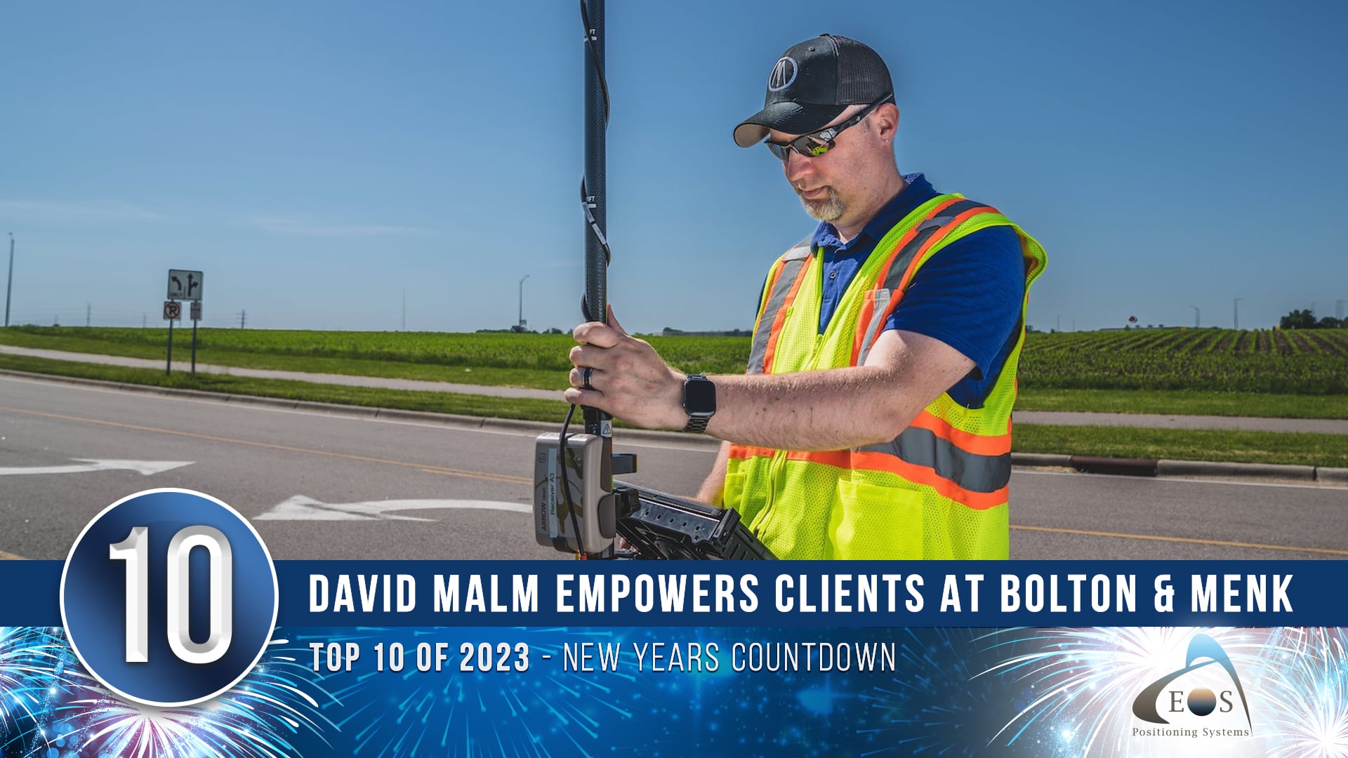
10) David Malm Empowers Clients with Accuracy at Bolton & Menk
They say variety is the spice of life, and as GIS Project Manager at Bolton & Menk, Inc., David Malm has no shortage of diverse projects. In this May customer spotlight, David shared how he uses high-accuracy Eos Arrow GNSS receivers and GIS applications to provide community-infrastructure solutions to municipalities.
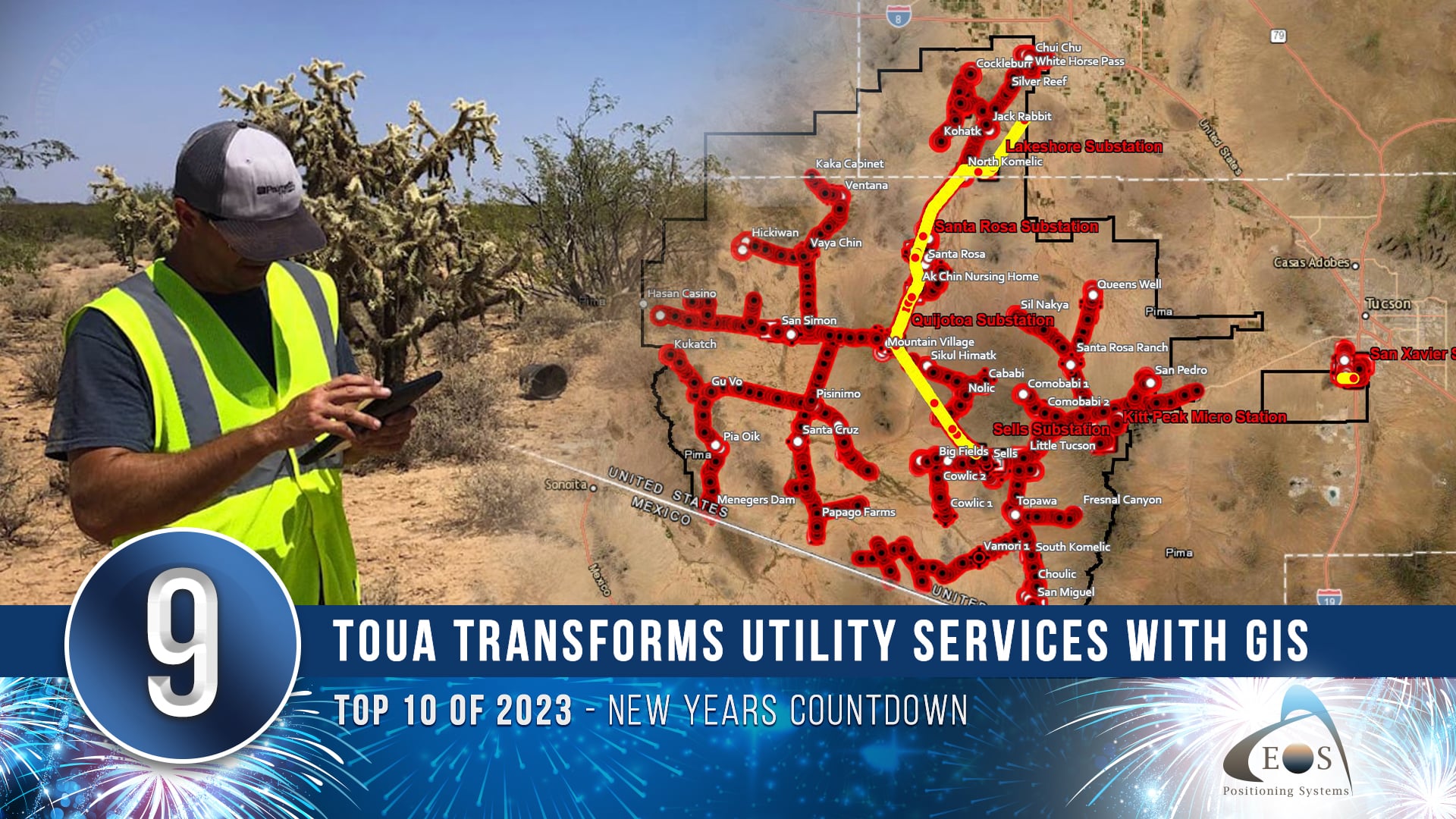
9) Tohono O’odham Utility Authority Transforms Utility Services with GIS
Discover how Tohono O’odham Utility Authority (TOUA) beat the heat of the Arizona desert with a modern mobile mapping solution! Their team collected accurate geospatial data for 710 miles of distribution conductors in the extreme temperatures of southern Arizona. In this case study, explore how TOUA transformed their utility services through the use of Eos Arrow GNSS receivers and ArcGIS® mobile apps.
Read how TOUA improved utility services with GIS >
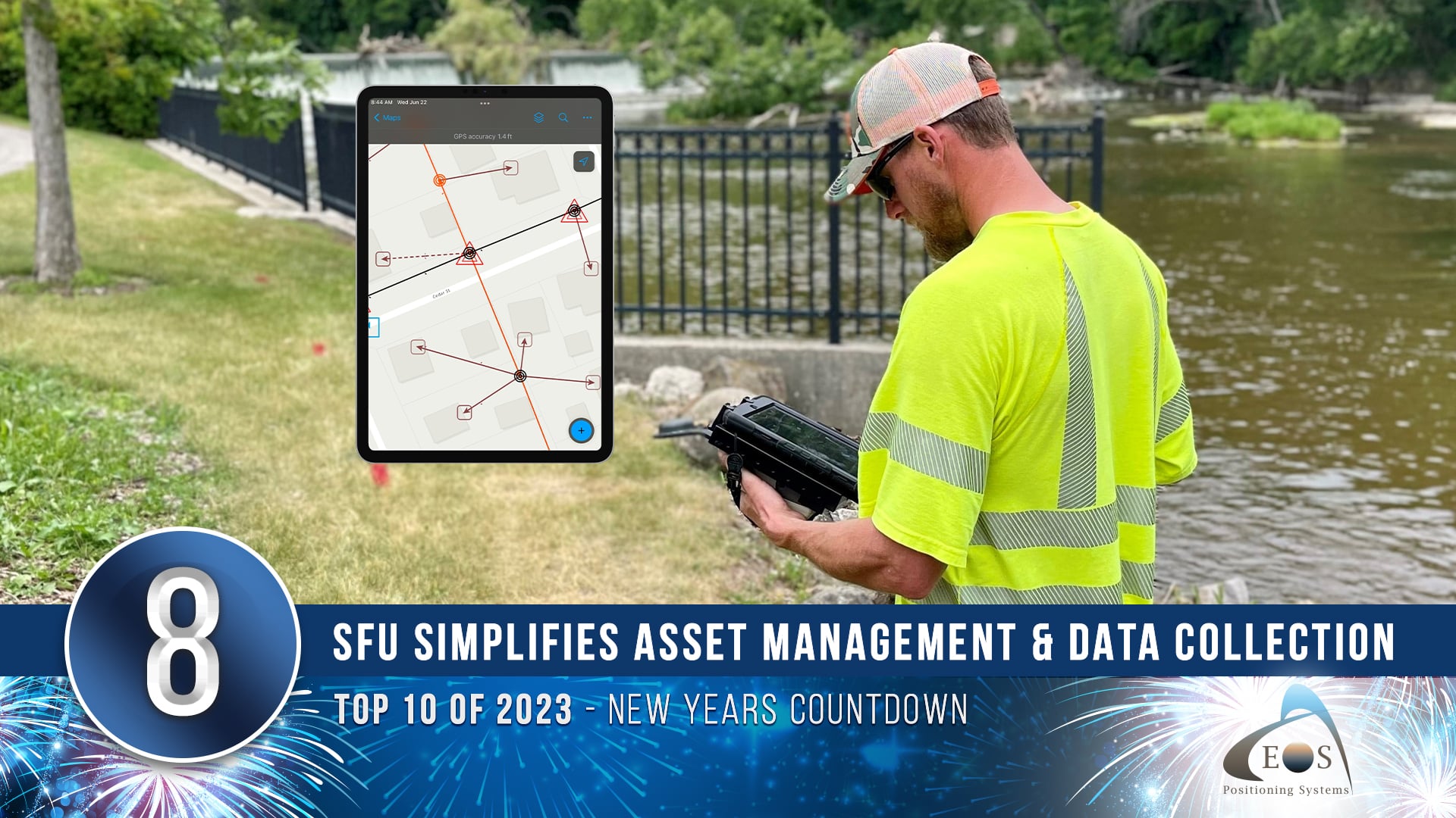
8) Sheboygan Falls Utilities Simplifies Asset Management and Data Collection
Known locally for their excellent community service, Sheboygan Falls Utilities (SFU) recently decided to revamp their technology to improve asset management and data collection. By bringing mapping in-house with web maps and GNSS, and with help from Esri partner OpenPoint, SFU was able to transition from paper and CAD drawings to real-time, reliable maps of their primary and secondary networks. In addition to streamlining information sharing from field to office and better equipping line workers with updated information at their fingertips, they also improved customer care with faster and more accurate responses.
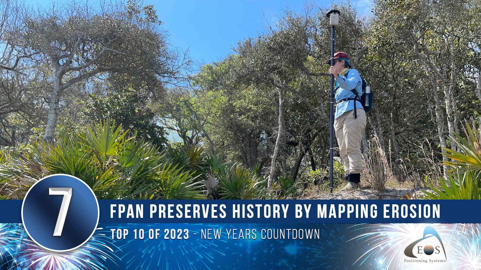
7) Florida Public Archaeology Network Preserves History By Mapping Erosion with GNSS
As Florida’s sea levels rise, preserving at-risk cultural resources along the coastline has become increasingly urgent. To better approach this large undertaking with limited resources, the Florida Public Archaeology Network (FPAN) deployed an innovative approach that involved its staff, volunteers, and cutting-edge technology inspired by similar work in Scotland. Learn how FPAN is preserving the past for the future, through the use of Arrow GNSS, ArcGIS, and even 3D modeling.
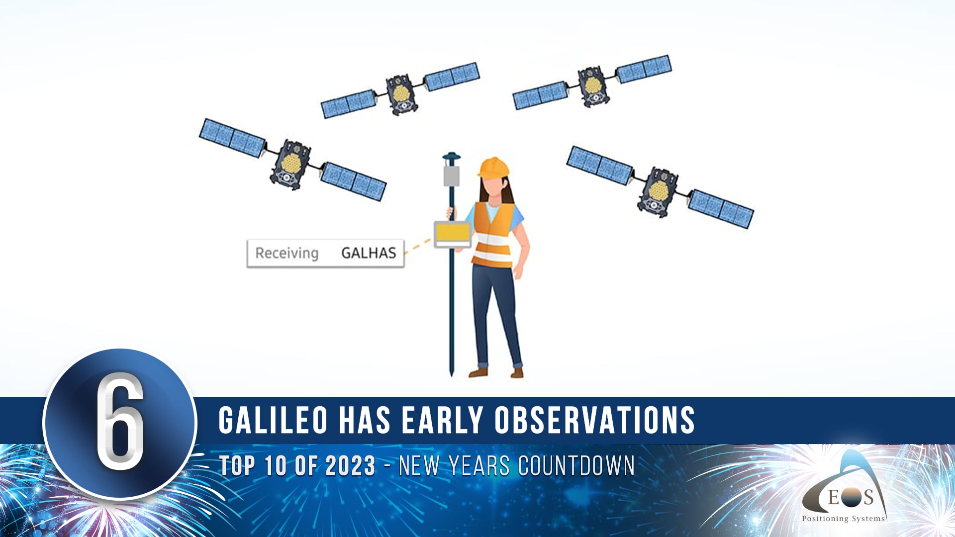
6) Galileo High Accuracy Service Early Observations
Got Galileo? We do — and we could not be more excited. Earlier this year, our team got to work testing the newest global, free differential correction service: the Galileo High Accuracy Service (HAS). In this article, we walk you through what Galileo HAS is, its roadmap, how it works, what makes it special compared to other correction services, and the typical performance our team has been getting with the Arrow Gold+™ GNSS receiver and Galileo HAS thus far.
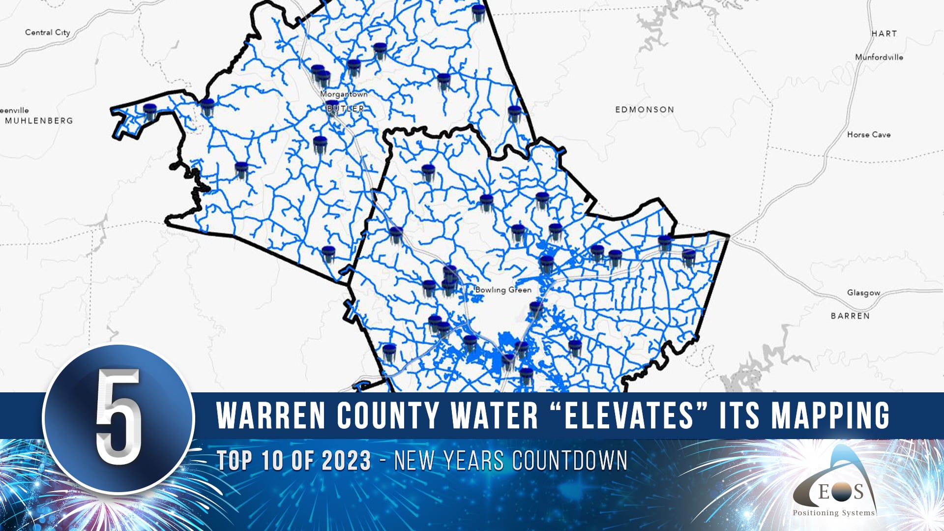
5) Warren County Water District Looks to “Elevate” Its Hydraulic Modeling with Survey-Grade Maps
Warren County Water District oversees three water systems containing over 2,100 miles of assets in Southcentral Kentucky. To better manage these systems, Warren Water decided to modernize their mapping technology. They moved away from cumbersome paper map books and on to digital and robust geographic information system (GIS). They then created an efficient mobile workflow using ArcGIS apps and the Arrow Gold® GNSS receiver. This new workflow improved efficiency, increased accuracy, and created a much lighter navigation system.
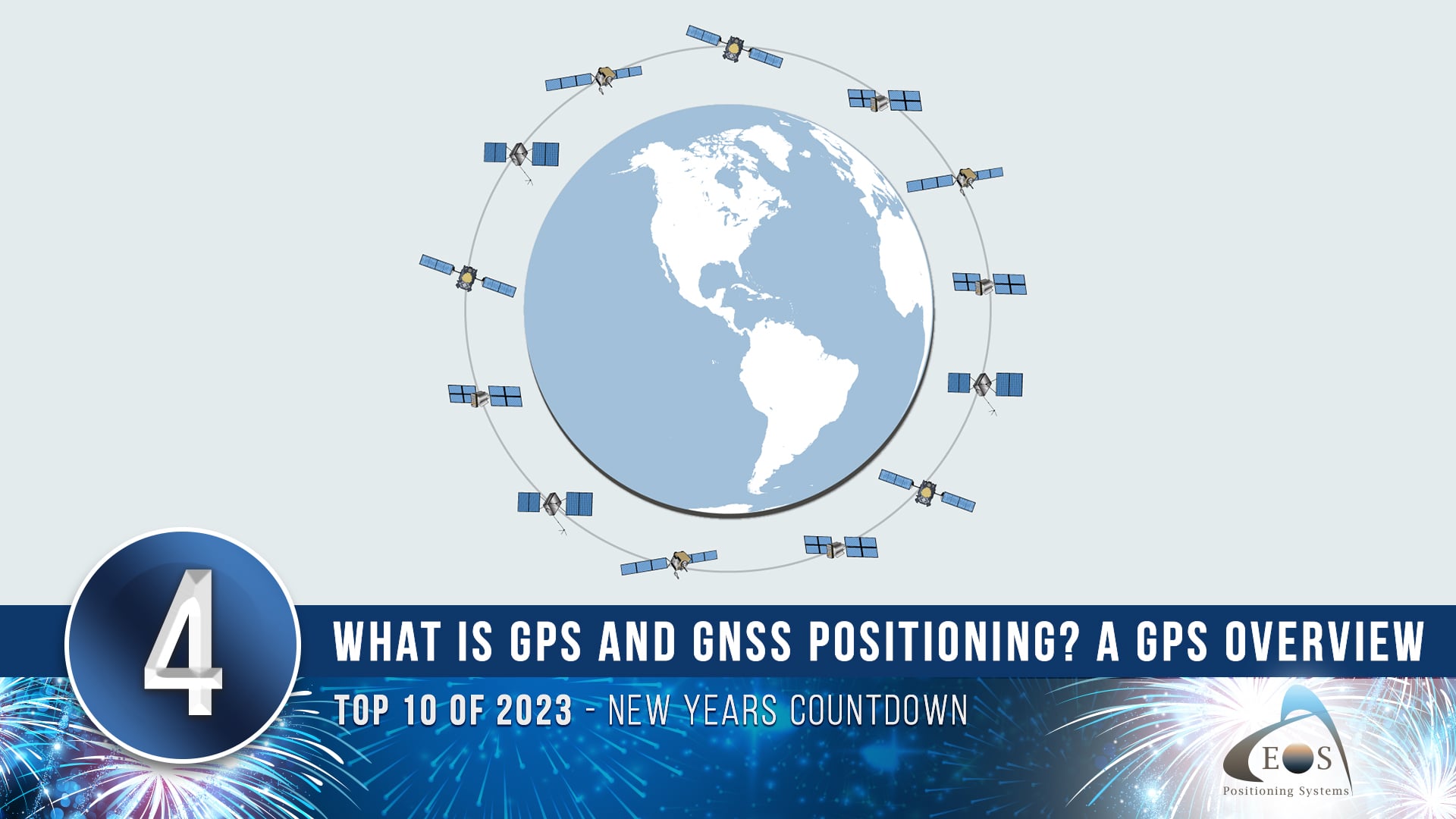
4) What is GPS and GNSS Positioning? A GPS Overview
Where do GPS positions come from? What’s the difference between “GPS” and “GNSS”? Why are atomic clocks so critical to calculating coordinates on the face of our planet? In May of 2023, Eos released the first article in a new series of educational content that will teach you everything you ever wanted to know about satellite positioning. Get started with the basics in part 1: learn where GPS comes from, how we calculate positions, and key takeaways to make you a smarter satellite user in the field.
3) Eos Tools Pro App Configuration for Mobile Device Management (MDM)
Do you manage multiple field workers? In this new guide, Eos walks you through every step to configure Eos Tools Pro for mobile device management (MDM) deployment — including sample code.
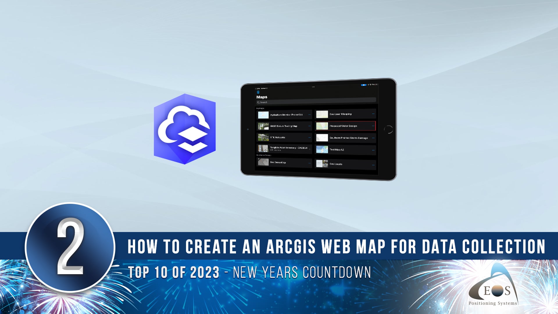
2) How to Create a New ArcGIS Web Map for High-Accuracy Field Data Collection
Back with updated steps, this article walks you through how to create a new ArcGIS web map for use in high-accuracy field data collection. Follow along to create a web map from scratch with the correct settings for Eos GNSS receivers and related metadata.
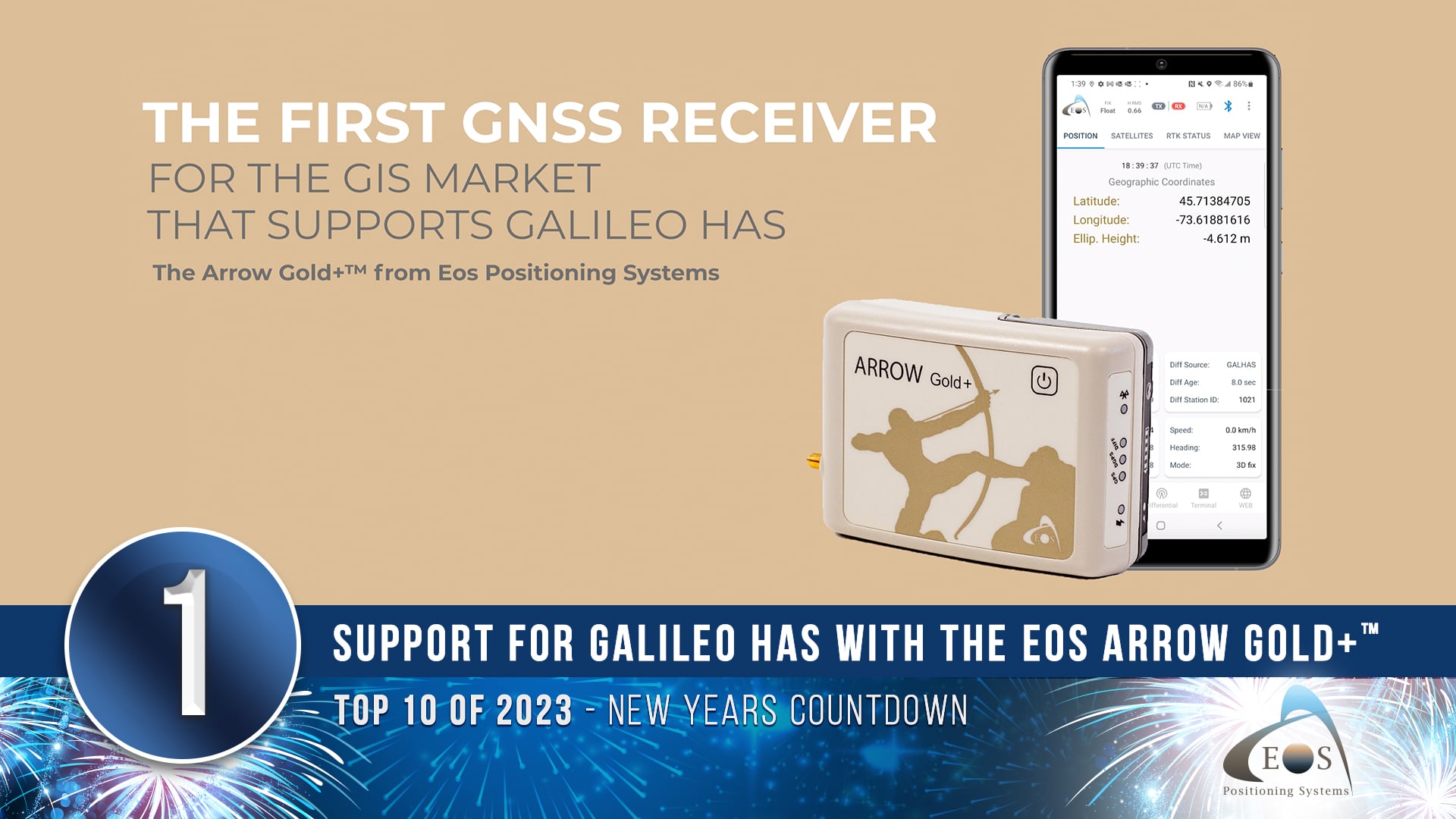
1) Announcing Support for Galileo HAS with the Arrow Gold+™ GNSS Receiver
In March of 2023, Eos Positioning Systems announced the Arrow Gold+ as the first GNSS receiver in the GIS market to support Galileo High-Accuracy Service (Galileo HAS). Galileo HAS is a new, free correction source broadcasting directly from Galileo GNSS satellites. With an Arrow Gold+ GNSS receiver, you can connect to Galileo HAS in Eos Tools Pro and achieve 20-cm-or-better accuracy anywhere in the world.
Cheers to more in the new year!
Eos would like to thank you for reminiscing on these posts with us — and for making them as successful as they were. Our team is looking forward to hearing more about how you and people like you are transforming work, and our world, with high-accuracy maps.
To stay updated with our 2024 posts, subscribe to our monthly newsletter here.
Meanwhile, have a happy and healthy new year.

