
VIDEO: Haiti Outreach Uses Spatial Technology and Community Engagement to Transform Water Access
This month in the Eos Newsletter September 2019:
Haiti Outreach is on a mission is to bring clean drinking water to 100% of Haitian communes. They’re using Arrow Gold GNSS, mWater, EPANET, and community engagement to transform how water access is addressed. In this video, you’ll hear from Haiti Outreach Director Neil Van Dine and Eos Positioning Systems CTO Jean-Yves Lauture on the importance of combining spatial strategy with a human element.


See how Haiti Outreach is drastically raising the success rate of potable water projects in Haiti.
Explore their mission …
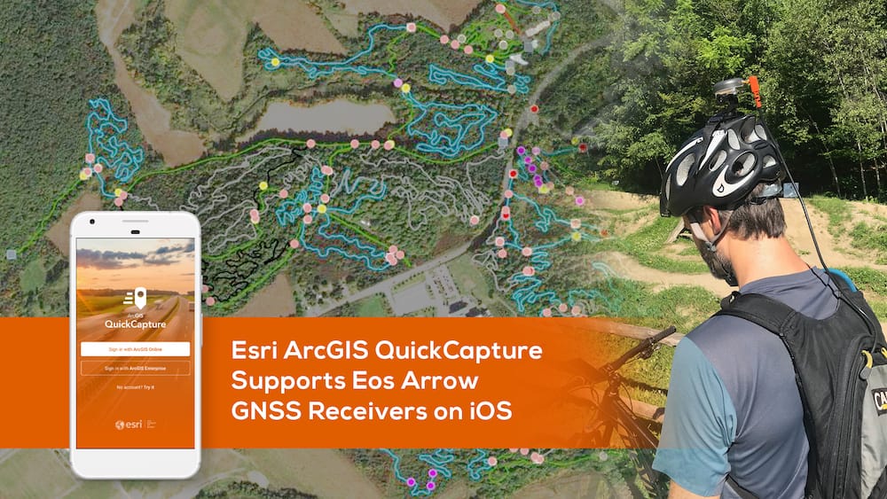
Esri ArcGIS QuickCapture Supports Eos Arrow GNSS
ArcGIS QuickCapture users can benefit from submeter/centimeter locations directly in the app. See how capturing data on the go can be easy and accurate.
Learn about the release …

Eos and the Ports of Auckland
At the Port of Auckland in New Zealand, construction is occurring almost daily. See how port officials ensure smooth operations using ArcGIS Collector and Arrow.
Watch the 3-minute video …
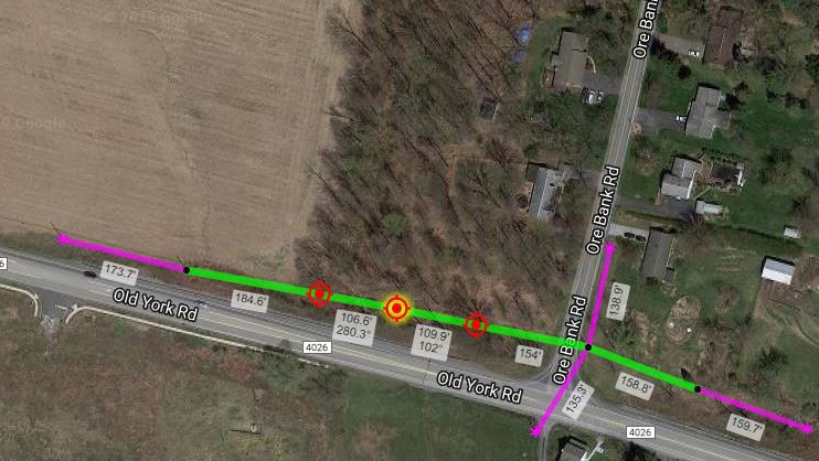
How to Design Poles in KatapultPro with Arrow
Sometimes, imagery doesn’t cut it. Our friends at Katapult explain how Arrow Lite helps crews properly place poles in areas where traditional methods fail.
Catapult into this LinkedIn article …
“Datums, feet and GNSS vectors: The 2022 NGS upgrade”
Tim Burch of GPS World reports on the National Geodetic Survey datum change coming up in 2022.
Read the article with graphics …
“China adds two more satellites to BeiDou constellation”
China recently launched two more BeiDou III satellites. Tracy Cozzens of GPS World reports.
See how it went …

Browse technical tips from Eos Technical Support Manager Alvaro
Ask Al your own question.
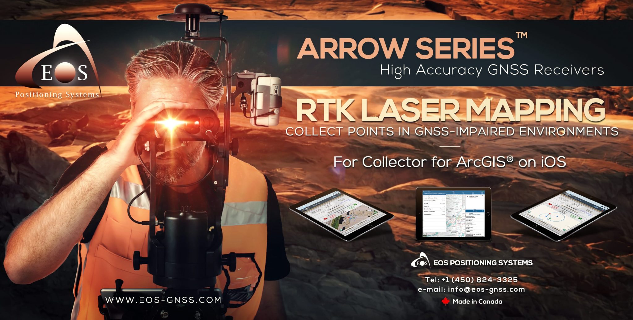
Laser Offset Guide for ArcGIS Collector
Our brand-new guide explains how to get started with laser offsets, from configuring Collector and Eos Tools Pro to using the 3 Laser Offset workflows.
Get the guide >>>
Bulletin: New Eos Tools Pro v1.49.49 released for Android
Added connection to external Bluetooth radios in Differential menu.
Along side the NTrip and DIP connections in the Differential menu, users can now connect to external UHF or spread spectrum Bluetooth radios and receive RTK corrections for their Arrow receivers. This feature eliminates the requirement for cable connections between the Arrow rover (with serial port option) and the radio. (For older generation radios without Bluetooth capability, a serial Bluetooth dongle can be attached to the radio’s serial port.)
Available now on Google Play Store.
Bulletin: New Eos Tools Pro v1.78 (Build 252) released for iOS®
Added Z-value in point geometry in Laser Offset Mapping for Esri’s ArcGIS Collector (v.19.1.0 and above)
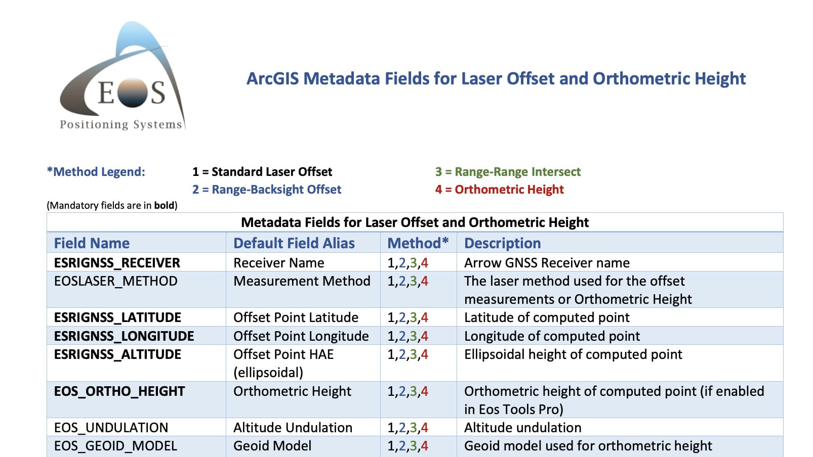
This new version of Eos Tools Pro supports the z-Value in the Laser Offset solution for Collector. Users can now save orthometric heights with their laser offset mapping points.
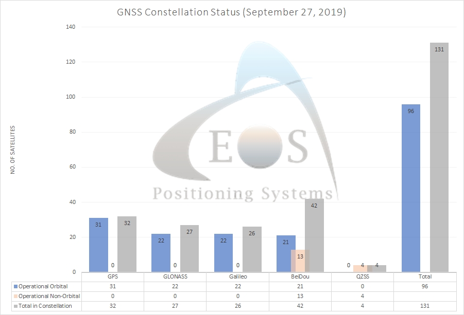
Current GNSS Constellation Status:

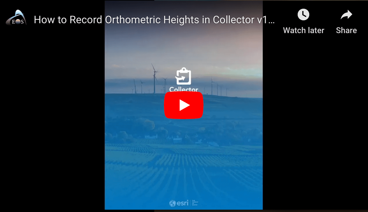
VIDEO: Record Orthometric Heights in Esri Collector
In this 4-minute tutorial, you’ll learn how to collect orthometric height in Esri Collector v18.1.0 with Arrow GNSS receivers.
Watch now (4 minutes) …

Esri GeoConX
Atlanta, Georgia
October 27-30
Find Eos (Gold Sponsor, with Floorplan!) >>>
GIS Pro 2019
New Orleans, Louisiana
September 28 to October 2
Find Eos (with Floorplan!) >>>
TSPS Tech Expo
Horseshoe Bay, Texas
October 2-4
Find Eos (with Floorplan!) >>>
MN GIS/LIS Consortium
St. Cloud, Minnesota
October 2-4
Find Eos (with Floorplan!) >>>
Esri Canada UC
Toronto, Ontario
October 8-9
Find Eos (Platinum Sponsor!) >>>
Esri Canada UC
Ottawa, Ontario
October 16
Find Eos (Platinum Sponsor!) >>>
Esri France SIG
Paris, France
October 16-17
Find Eos (with Floorplan!) >>>
NJ Water Association
Atlantic City
October 16-17
Find Eos with Esri (Gold Sponsors!) >>>
Esri Canada UC
Vancouver, BC
October 22
Find Eos (Platinum Sponsor!) >>>
SCARC
Florence, SC
October 23-25
Find Eos (Silver Sponsor!) >>>
Arkansas GIS Symposium
Eureka Springs
October 30 – November 1
Find Eos (Bronze Sponsor!) >>>

