/// Arcadis: Transforming asset surveys on the railway

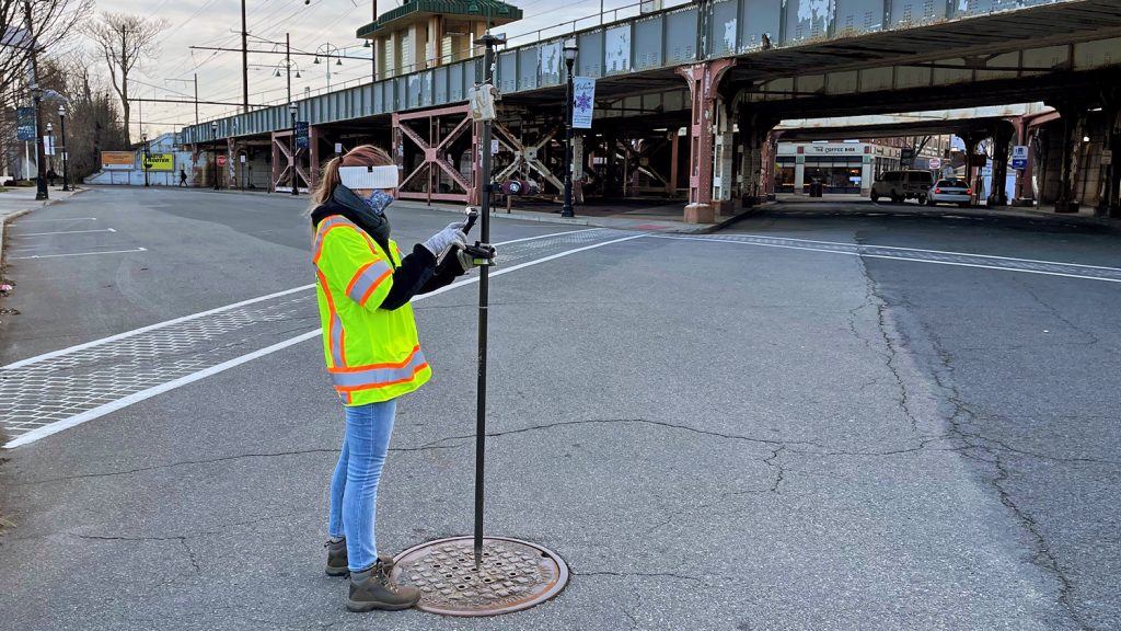
In a ground-breaking project in the U.K., Arcadis used solutions from both Eos and Esri, including ArcGIS Survey123 with Arrow GNSS, to deliver a new way of capturing accurate electrical data in a live rail environment. They worked with their client to capture and share this data accurately, in real-time, and in a manner that allowed the data to be integrated with BIM — all in one seamless, automated digital workflow.
This story was republished with permission from Esri U.K.
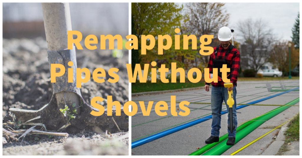
Remapping Pipes Without Shovels
By Tom DeWitte and Tom Coolidge, Esri
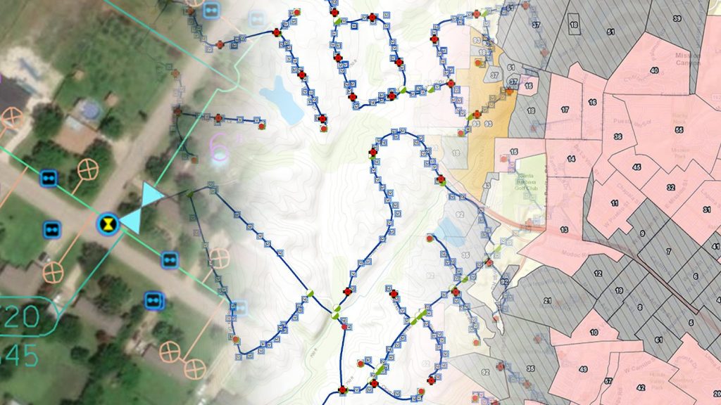
In this LinkedIn article, Esri’s Tom DeWitte and Tom Coolidge take on spatial accuracy for buried gas infrastructure. Learn from these two gas industry experts about the new options for remapping existing buried pipe without shovels — accurately and cost effectively.
5 Ways Water Utilities are Transforming Data Collection with Bluetooth GNSS
By Eos Positioning Systems
Discover how five water utilities are saving time, cutting operational expenses, and improving the accuracy of their asset management systems by capturing survey-grade locations.
From Office to Field: GIS Workers Unite
By Alexis Eades, Colliers Engineering & Design
Dive into what it’s like to work as a team — from two completely different locations. In this interview from Eos customer Colliers Engineering & Design, GIS Specialist Amanda Paton and GIS Technician Tommy Allen explain on how they make real-time data sharing work from field to office.

Scott Denham Navigates Wetlands with Mobile GNSS Solution
As a Wetlands Permitting Manager at ESI, Scott Denham knows that navigating remote areas requires staying mobile and keeping his hands free. To this end, Scott is always looking for the most portable, easy-to-use, and accurate mobile mapping technologies — like the Arrow GNSS receivers and Ecobot app he uses today. Get to know Scott, including how he continually raises the bar for high-accuracy data collection!
One workshop, two languages:
Survey-Grade Survey123: Workshop with Arrow GNSS and ArcGIS Survey123
Date: May 27, 9:30am-12pm PDT
Join Eos and Esri for a free virtual training event using Arrow GNSS receivers and ArcGIS Survey123. This workshop requires registration and includes live indoor and outdoor demonstrations. Be sure to download Survey123 in advance to participate in a fun, interactive exercise!
Levantamiento de datos de alta precisión con ArcGIS Survey123 y un receptor Arrow GNSS
La fecha: 10 de junio, 12:30pm-3pm EDT
Inscríbase a este taller virtual gratuito, a cargo de los expertos de Eos Positioning Systems y Esri, para aprender a usar un receptor GNSS Arrow junto con la app para levantamiento basada en formularios de Esri, ArcGIS Survey123.


