

Visit Eos Positioning Systems® (Eos) — a 2019 Esri Canada Award-Winning Silver Partner and ArcGIS Online Specialty Partner — at the 2019 Esri Canada UC in Edmonton. This year’s event will be held at the Edmonton EXPO Centre. Eos will be exhibiting as a Platinum Sponsor on September 24.
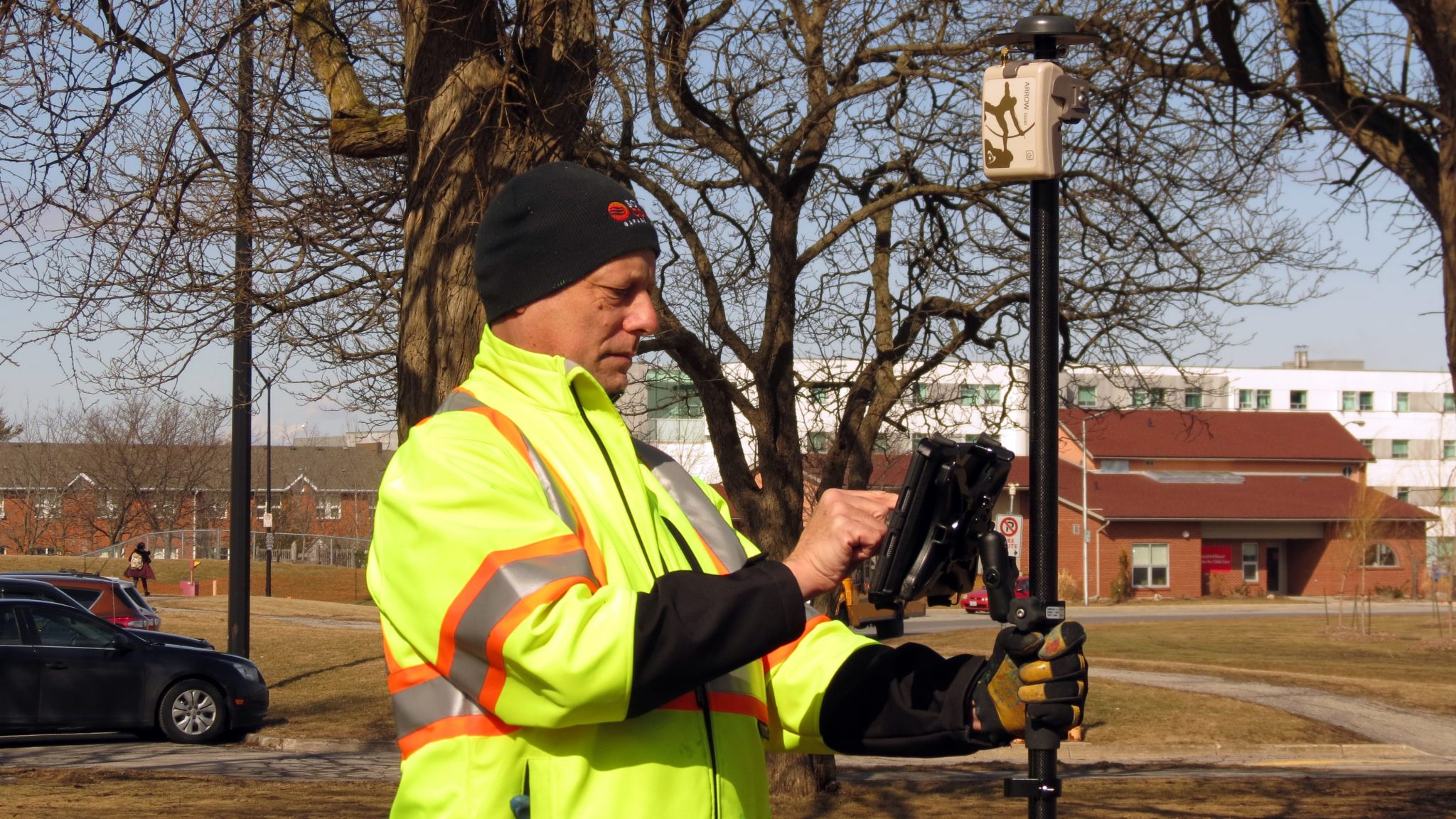
Eos is a Canadian company and Esri Silver Business Partner that specializes in simple, affordable, high-accuracy field solutions (GPS / GNSS) for the GIS and mapping community. Eos Arrow Series Bluetooth® GPS (GNSS) receivers fit directly into existing mobile GIS workflows on the Esri ArcGIS Platform via ArcGIS and other data-collection apps (e.g., Collector, Survey123). Our solutions simply replace lower accuracy native device locations with higher-accuracy (submeter/cm) GNSS locations and metadata. The Arrow Series® GNSS (external Bluetooth® GPS) receivers work with any mobile device and field data-collection app.
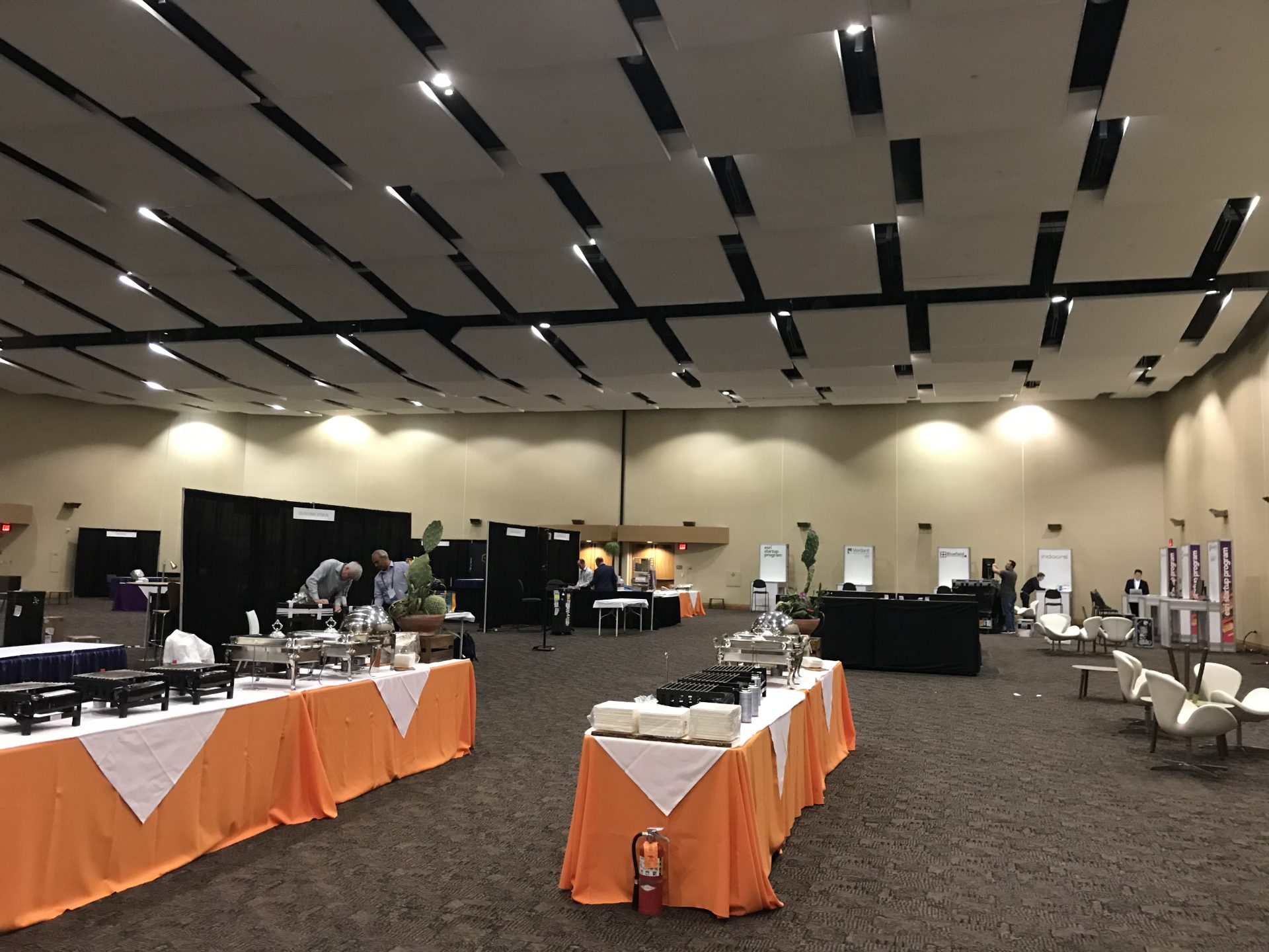
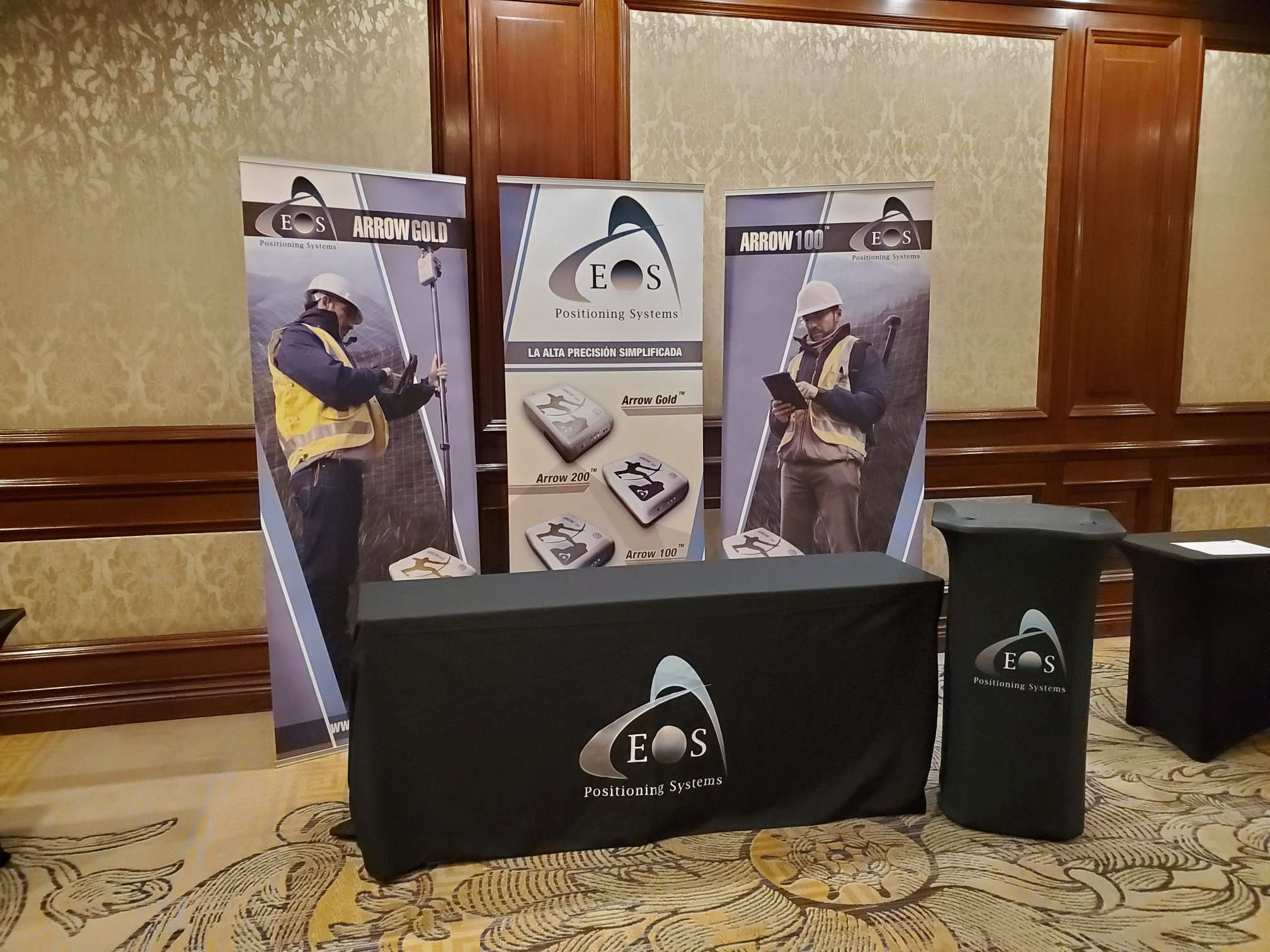
Scroll down to preview our booth so it is easy to locate. Stop by and ask for a data-collection demonstration!

Location
Edmonton EXPO Center
7515 118 Avenue NW
Edmonton AB T5B 0J2
Expo Dates and Times
Sept. 24 from 7:30am – 5pm
Social Media
Website
https://esri.ca/en/events/user-conferences/esri-canada-user-conference-edmonton-2019
Featured Case Study: Niagara Region Keeps Infrastructure Safe with Centimeter Accuracy from RTK Base Station

Niagara Region deployed a real-time GNSS data collection system using their own RTK base station. They were then able to implement a real-time GIS workflow that improved their ability to keep infrastructure safe through locates.


