


Visit Eos Positioning Systems® (Eos) — a 2019 Esri Award-Winning Silver Partner and ArcGIS Online Specialty Partner — at the 2019 Esri Gulf Coast UC. This year’s event will be held at Hyatt Regency New Orleans in New Orleans, LA. Eos will be exhibiting as a Silver Sponsor from Nov. 7-8.
Eos is a Canadian company and Esri Silver Business Partner that specializes in simple, affordable, high-accuracy field solutions (GPS / GNSS) for the GIS and mapping community. Eos Arrow Series Bluetooth® GPS (GNSS) receivers fit directly into existing mobile GIS workflows and data-collection apps (e.g., Collector, Survey123, and even your own proprietary application!). Our solutions simply replace lower accuracy native device locations with higher-accuracy (submeter/cm) GNSS locations and metadata. The Arrow Series® GNSS (external Bluetooth® GPS) receivers work with any mobile device and field data-collection app.
Scroll down to learn how to find the Eos team. Ask for a demonstration of submeter and centimeter data-collection with Esri ArcGIS mobile apps!
Find Eos at the 2019 Esri Gulf Coast UC!
The Eos team will be exhibiting in the expo hall at the 2019 Esri Gulf Coast UC. Look for us on the floor plan below setup to find our expert GNSS team:
Find Kiosk 101 toward the center of the Expo Hall:

Location
Hyatt Regency New Orleans
601 Loyola Ave
New Orleans, LA 70113
Eos Kiosk (Booth)
#101
Expo Dates and Times
Nov. 7 – 8am-4:30pm
Nov. 8 – 8am-3pm
Social Media
Event Website
https://www.esri.com/en-us/about/events/gulf-coast-uc/overview
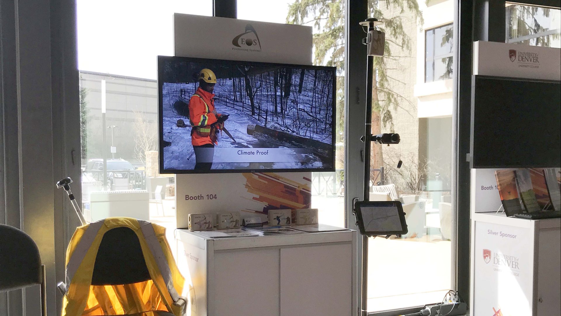
Look for the Eos branded Kiosk!

Arrow GNSS receivers provide ArcGIS QuickCapture users with submeter/centimeter locations at high rate, enabling high-accuracy data collection from moving vehicles.
Featured Case Study: DDSI Increases Profit Margins with GNSS Laser Mapping Solution from Eos, Esri and LTI
As a competitive consultancy, DDSI’s profit margins depend upon turning around timely and accurate surveys of telecommunications sites. With a goal of speeding up field work to increase profit margins, DDSI looked for a new GNSS data-collection system. Their biggest challenge with legacy handheld GPS devices was signal failure under canopy, and the time-consuming alternatives of using either a total station or manual measurements.