


Visit Eos Positioning Systems® (Eos) — an Esri Award-Winning Silver Partner and ArcGIS Online Specialty Partner — and Esri at the 2019 NJ Water Annual Conference. This year’s event will be held at the Golden Nugget Atlantic City in Atlantic City. Eos and Esri will be exhibiting in a joint booth from October 16-17. Eos is proud to be a Gold Sponsor.
Eos is a Canadian company and Esri Silver Partner that specializes in simple, affordable, high-accuracy field solutions (GPS / GNSS) for the GIS and mapping community. Eos Arrow Series Bluetooth GPS (GNSS) receivers fit directly into existing mobile GIS workflows on the Esri ArcGIS Platform via ArcGIS Online and related data-collection apps (e.g., ArcGIS Collector, ArcGIS Survey123, and more). Our solutions simply replace lower accuracy native device locations with higher-accuracy (submeter/cm) GNSS locations and metadata. The Arrow Series® GNSS (external Bluetooth® GPS) receivers work with any mobile device and field data-collection app.
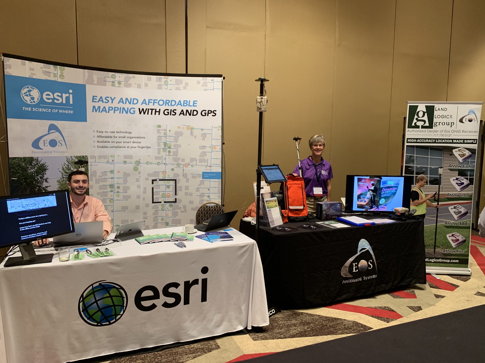
Find the Eos and Esri booth at the 2019 NJ Water Annual Conference
Look for the familiar bright blue Eos and Esri Booth:

Location
Golden Nugget Atlantic City
600 Huron Ave
Atlantic City, NJ 08401
Expo Dates and Times
October 16: 7am to 7:30pm (last two hours include Expo Social)
October 17: 7am to 3:15pm
Social Media
Website
Featured Case Study: Niagara Region Keeps Infrastructure Safe with Centimeter Accuracy with Arrow Gold RTK Base Station and Esri ArcGIS

Niagara Region deployed a real-time GNSS data collection system using their own RTK base station. They were then able to implement a real-time GIS workflow that improved their ability to keep infrastructure safe through locates.
Alaska Utility Pinpoints Water and Sewer Assets on the Last Frontier with Arrow 100 and Esri ArcGIS

Faced with extreme weather conditions and geography, Anchorage Water & Wastewater Utility is adopting a forward-thinking, five-year GIS asset-management plan that was jump-started with a high-accuracy GPS implementation including Eos Arrow 100 GNSS receivers, Esri Portal for ArcGIS®, and ArcGIS Collector.