How to Use Real-Time Geoid Height with Arrow and Esri’s ArcGIS Collector
Synopsis
Arrow GNSS receivers now support real-time geoid height (orthometric height) data collection on iOS® and Android. In this video, you’ll learn how to collect geoid height with Arrow in Esri’s ArcGIS Collector. To follow along you’ll need an Arrow receiver and the latest versions of Collector and Eos Tools Pro.

Transcript for “How to Use Real-Time Geoid Height with Arrow and Esri’s ArcGIS Collector”
[Music]
This is Eos Positioning Systems here, today, to show you the new orthometric value capture for your altitude in Collector [for ArcGIS] on iOS.
Selecting Your Geoid Model in Eos Tools Pro
First what we need to do is make sure our Eos Tools Pro is up-to-date with 1.74 build 18, and then, you can see with this update if you click on the config file — there’s a new altitude tab that wasn’t there previously. And here you can see altitude reference so we’ve got a couple options there.
We’re going to switch to orthometric, and here you can download the correct Geoid for the area that you’re working in. For the US, it’d be GEOID 12B, but we’re in Canada so we’re going to do this Canadian one.
Configuring ArcGIS Collector Settings
The trick is to make sure you tap on the line once it’s downloaded, to add the little checkmark next to it. Then click “done”. Now you can see that it has changed from ellipsoidal height to ortho[metric] height.
And you can see in Collector [for ArcGIS] — if we come in here — and first thing we’re going to do is go into “settings”. We need version 18.0.2.
Then we’re going to go into “Collection Settings,” and the first thing we have to do is scroll to the bottom. We have to activate the “offset” feature for Eos Tools Pro inside Collector. Now we can open our map, and — what we can do is — we can collect a point.
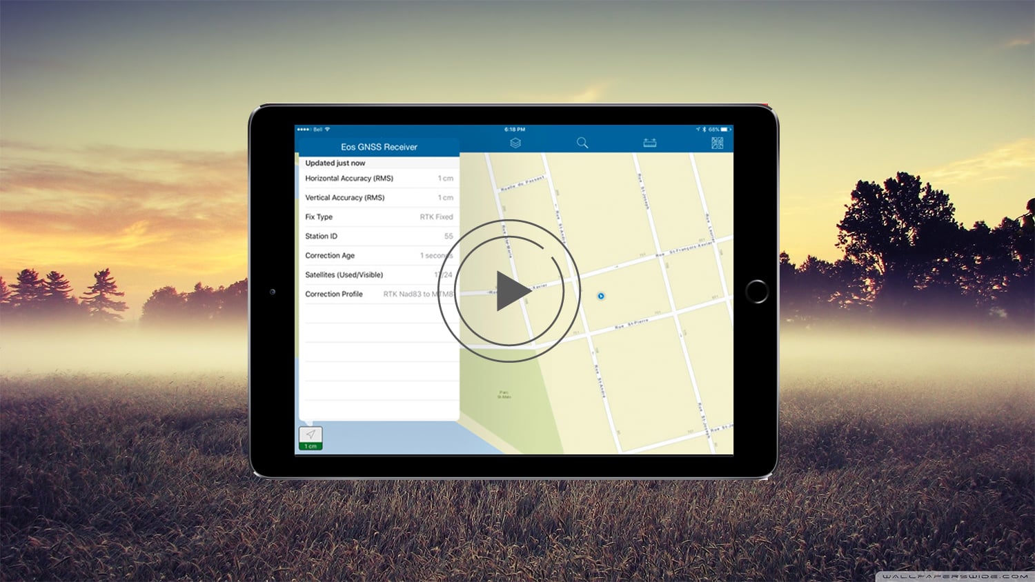
You can see we’re using RTK, so we [know that we] have high accuracy on the Arrow Gold [GNSS Receiver] at this moment.
We’re going to choose the offset “ortho height” option. And there is Python script that you can add to add your additional values that we need.
Setting Your Measurement Method in Eos Tools Pro
It’s going to ask you if you want to open Eos Tools Pro. We say “yes”, and it brings us in here [into measurement method]. And so first what we want to do is change our measurement method to “Orthometric Height”. And this is going to collect a point. We’re going to average it for five seconds, and that’s by hitting the start button. Now we hit “Send”, and it’s going to then bring this into Collector.
Collecting Points in Collector
We can hit “Submit”, and it’s going to auto-populate all of our fields for our metadata.
So here [in Collector] you can see we were connecting to an Arrow Gold, Orthometric Height. And you can see it records both our ellipsoidal height and our orthometric height — and tells us which GEOID model we had applied.
The neat feature about this, moving forward, is with the next generation of Collector — known as “Aurora” — that step of leaving and going to Eos Tools Pro won’t be required. It’ll be an automatic feature
[Music]


