How to Set Up iCMTGIS PRO with the Arrow Series® Receiver
Synopsis
Are you ready to collect high-accuracy data in the field with iCMTGIS PRO? This video — “How to Set Up iCMTGIS PRO with the Arrow Series™ Receiver” — walks you through how to use your Arrow GNSS receiver with iOS® and the iCMTGIS PRO app. To get started, follow along with this video tutorial. You’ll need your Arrow receiver, an iPhone® or iPad® & iCMTGIS PRO.

Transcript
Eos Positioning Systems® here, to show you how to connect your Arrow brand of receivers to the iOS GPS app called iCMTGIS PRO. It’s a unique app that allows you to collect points with point averaging, and it’s a one-time purchase for the Apple Store.
So we have an Arrow 200 connected to our antenna on the roof right now, and you can see we’re currently getting SBAS corrections. And our horizontal estimated accuracy is about 50 centimeters.
A very cool thing about the Arrow 200 is if you’re working in areas with no cell phone service and you cannot receive your RTK corrections, you can still use it as a submeter accurate device; and then once you have cell phone reception again, you can turn on your RTK corrections.
So we’re going to show you both how to set up iCMTGIS PRO to work with submeter accuracy from SBAS corrections — such as with an Arrow Lite or an Arrow 100 — and then we’ll turn on our RTK corrections and show you how to set up iCMTGIS PRO for using RTK corrections and getting that centimeter accuracy with our Arrow 200.
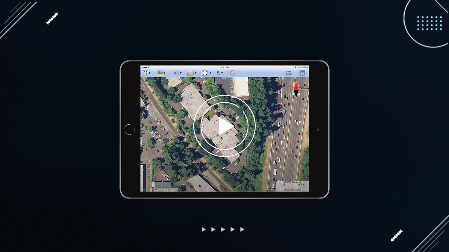
So let’s close Eos Tools Pro. You can see there is iCMTGIS PRO for Apple devices. This is the interface page for iCMTGIS PRO, and there’s two main toggles that we’re going to use at the top here to set up our GPS connection.
First in the upper left, this is our main menu. And what we need to do is go into setup and then choose GPS. Now the first thing we have to do is enable our external GPS receiver, and you can see it knows that we’re connected to an Eos receiver. And for a protocol, what you need to select is this third option here this “position source,” so that the metadata from the Arrow is pulled directly into iCMTGIS PRO.
You also want to make sure you have the check RMS limit selected. And since we’re doing submeter SBAS corrections, we’ll just leave it at two meters there. And for age limit we’ll set this to 1800 seconds, because with the coast capability of the Arrow receiver, if we have our SBAS corrections and we go into the tree canopy, it will continue to use those corrections to get us to our submeter accuracy data for up to 40 minutes before we need to go back out in the open and reacquire the SBAS satellites and download the latest SBAS corrections.
Now, in “datum” — The important thing with datum is that you need to scroll down here and select the newest datum, which is this “ITRF05.” (This is actually WGS84 ITRF05, so this is 2005). And then check in here with updates … over time as they update, the date and options in here, and we can get closer to the current year.
For “epoch datum” conversion, what you need to remember for SBAS corrections — or for using Atlas™ corrections from the Atlas™ satellites — you need to set this to the current year plus half a year. So this is 2016, so we want to set this to June 1, 2016. And then in January 2017 you’ll want to update this epoch to June 1, 2017, so it’s the current year plus a half year.
And then for antenna, if you’re using a standard two-meter range pole with the Arrow receiver antenna placed on top, you need to enter slant height there. You need to enter “2.095” meters, and I’ll update the antenna height. That is the correct antenna height for the Arrow receiver antenna placed on top of a two-meter range pole. Then we hit “OK.”
And then we go to GPS, and we turn on our external GPS, and this will bring our metadata in. You can see that we are currently utilizing 17 satellites with the horizontal accuracy of about 20 centimeters, and our diff[erential] age currently is bounced around four to seven seconds. And then what we also have to do is tap on our GPS button there in the center and turn on our external GPS. It takes a second to pull up, but you can see now — without having to leave iCMTGIS PRO — we can see our number of satellites being utilized.
Right now are 17. Our estimated horizontal accuracy is around 40 centimeters. Our PDOP is 1.3. And our diff[erential] age, you can see, is counting up between four and seven knots standard. This is great.
Now let’s go ahead and turn this back off. We’re going to go back to Eos Tools Pro, and we are going to switch from SBAS corrections to RTK corrections. So we’re going to go differential, and now it’s going to switch to “float.” And while it’s going to “fix,” let’s go back to iCMTGIS PRO.
And let’s go back to setup, GPS, and now what we’d like to do is we’d like to change the age limit. Let’s change this to “5.” Then let’s go to datum. Now what we have to do — because RTK networks are broadcast in NAD83 — we need to change this to this bottom selection here: “NAD83 CORS96-98.” Our antenna height is already set. It’s okay. For GPS, turn external GPS on. And now you can see we’re getting RTK corrections that are horizontal estimated accuracy is 1.3 centimeters, instead of the higher number when we were just receiving SBAS corrections. You can see our age is bouncing back and forth between one and two.
So again, please contact us if you have any questions and are interested in our Arrow brand or receivers. Thank you and have a great day.


