How to Use TerraGo Edge with Arrow Series® Receivers on iOS®
Synopsis
Are you ready to collect high-accuracy data in the field with TerraGo Edge? This video — “How to Use TerraGo Edge with Arrow GNSS Receivers on iOS” — walks you through how to use your Arrow receiver with iOS and TerraGo Edge. To get started, just follow along with this video tutorial. You’ll need your iPhone® or iPad®, Arrow receiver, and TerraGo Edge.

Transcript
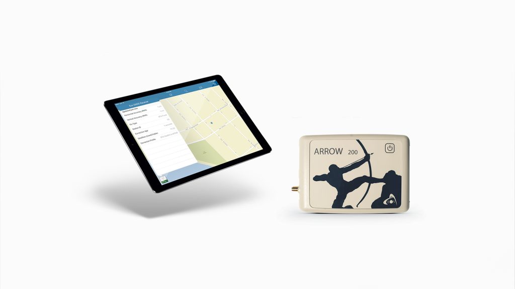
Eos Positioning Systems® here. And today, we’re going to show you how to use TerraGo Edge mobile GIS software and connect to our Eos brand of Arrow receivers.
Here you can see we’ve connected to an RTK network, and we’re receiving our RTK corrections, so we’re going to flip over to TerraGo Edge.
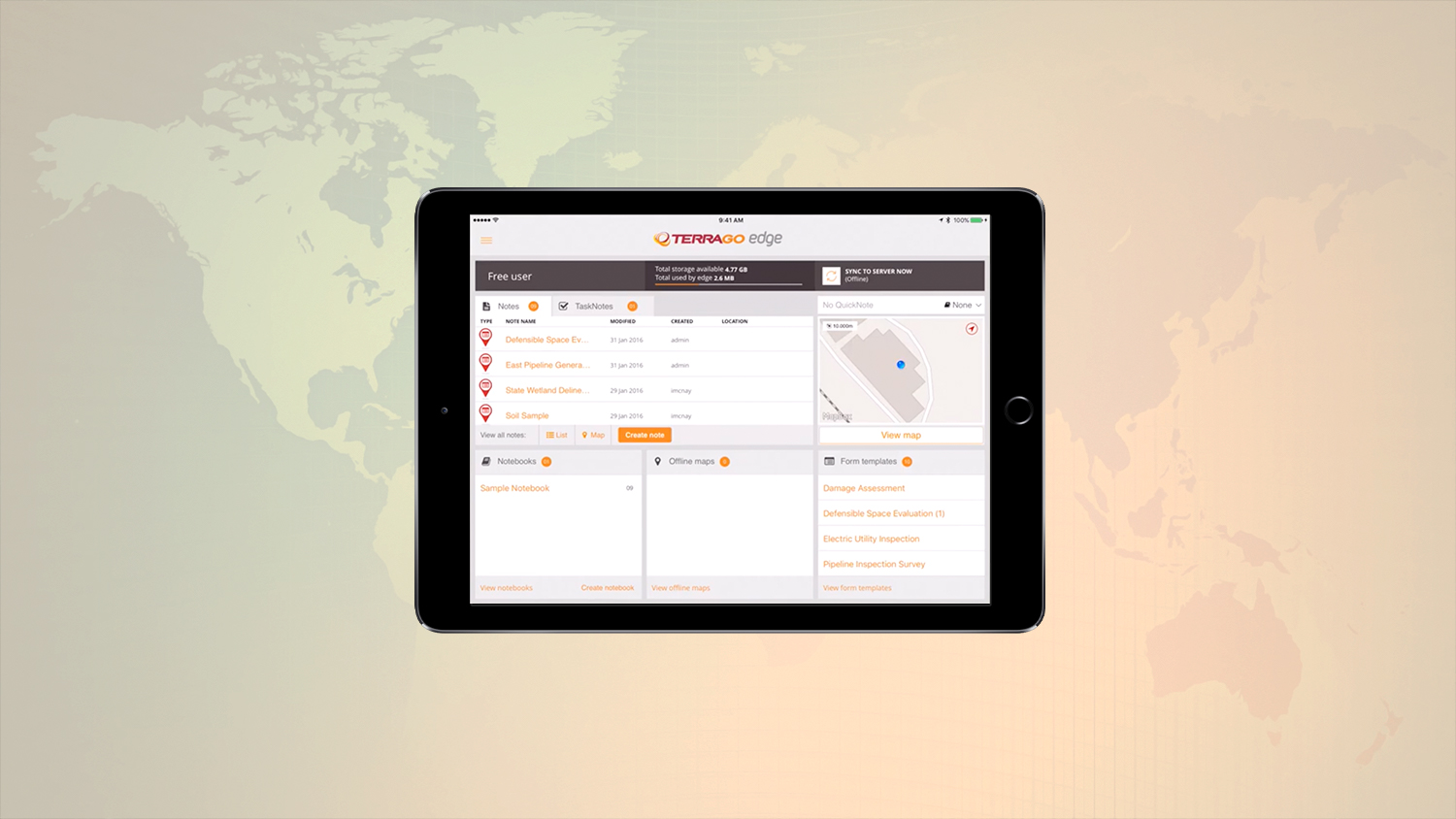
Now when you first enter TerraGo Edge app, you can see this is just the basic interface here. On the right side you can see we have our map, and if we tap “view map” you can see currently the default is just a pull [from] that iOS core location. You can see the estimated accuracy is 10 meters because that’s how the [iOS] core location works.
However if we tap the “back” button here, then the upper left you see the three lines there. We’re going to tap that so we go into system settings. Now you can see our location provider shows that it defaults to the iOS core location. However we want to turn that off, and we want to turn on Eos — because we want to bring in our satellite metadata straight from our Arrow receiver into TerraGo Edge.
So let’s go back to home. Now we can see if we go into “view map” [and] if we look in the bottom left there, you can see that we’re pulling information from 14 satellites. Then in the center bottom, you can see it’s telling us that it is using the location data from our Eos Arrow receiver. You can see that we’re currently getting 1.5 centimeter accuracy, so you can see that you can pull in your metadata straight from our Arrow receiver if you use TerraGo Edge for your data collection.
If you have any questions please contact us via our website contact form, or give us a phone call. We can help get you set up with our brand of receivers. Thank you.


