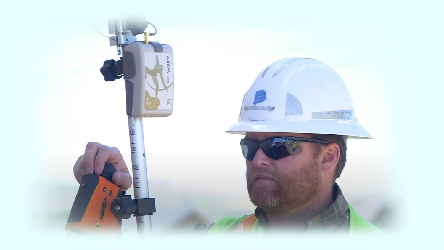
Do you want to use CartoPac with GPS? CartoPac and Eos Positioning Systems have partnered together to bring a complete solution to their customers, supporting the best in high accuracy enterprise data collection and maintenance solutions. Click play to view how the two technologies, CartoPac Mobile and Arrow GNSS receivers, join forces to provide a complete solution for high-accuracy GPS data capture for gas, utility, municipal, and related assets.
CartoPac and Eos
Explore Related Knowledge Base Items

Eos Laser Mapping™: Create and Publish Your ArcGIS Pro Feature Layer
This video will show you how to create your feature layer in ArcGIS Pro with the Eos toolbox.zip file and publish your web map for laser mapping.

Eos Locate™: Configure Settings in ArcGIS Collector and Eos Tools Pro
Ready to map underground assets? In the second Eos Locate video tutorial, learn how to configure initial settings in ArcGIS Collector and Eos Tools Pro.