Feature Story
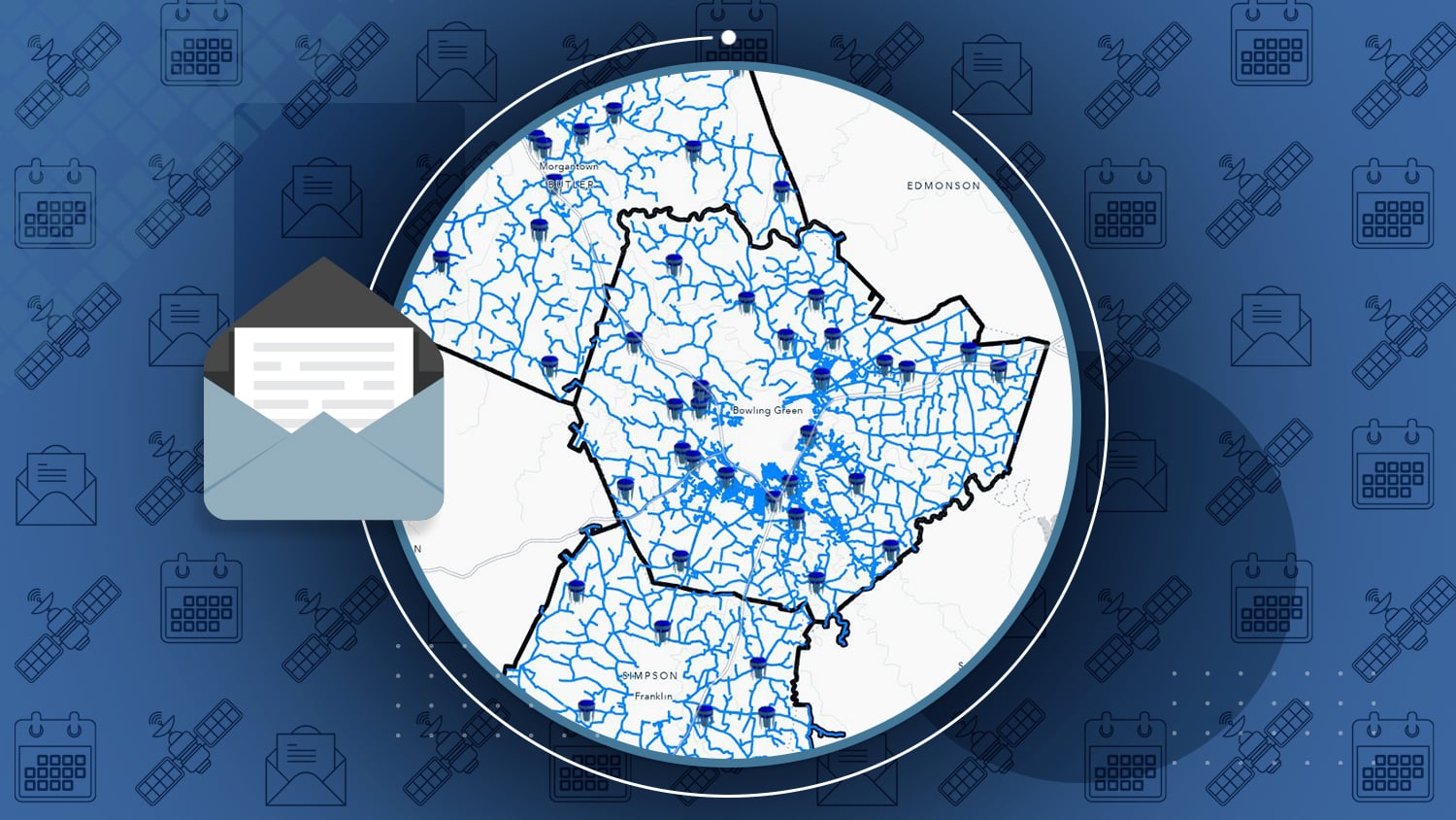
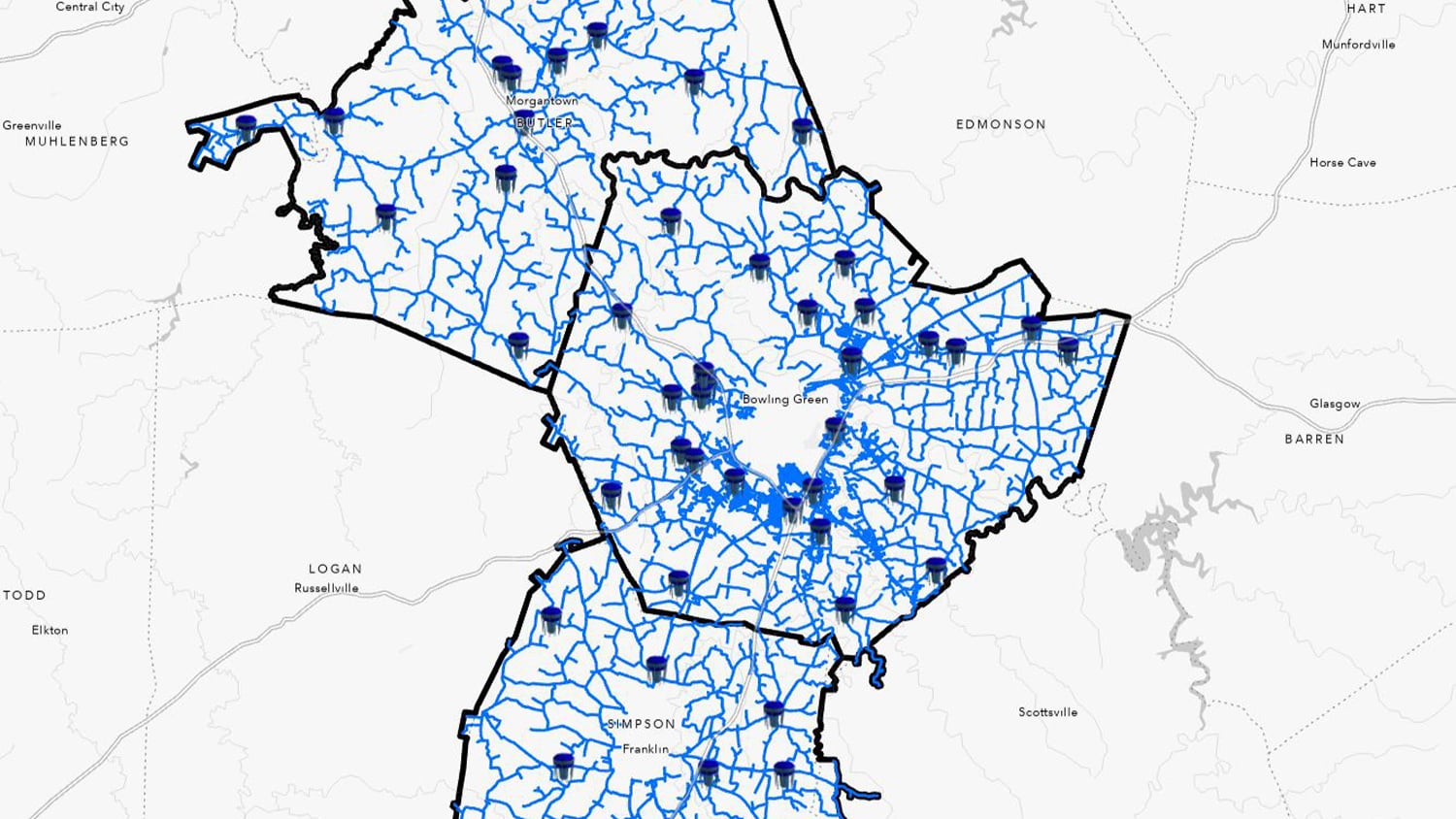
/// Warren County Water District Looks to “Elevate” Its Hydraulic Modeling with Survey-Grade Maps
Now shelved, mapbooks that used to ride with Warren County Water District’s field crews weighed up to 75 pounds! These books were used for navigation during service calls and routine work. Today, Warren Water has switched to high-accuracy, digital maps running on lightweight mobile devices. This has resulted in improved efficiency, increased accuracy — and a much lighter navigation system! With a combination of submeter and centimeter-level accuracy in their XYZ values, Warren Water will next help its engineers with new hydraulic modeling tools to take full advantage of their updated GIS.
Industry News
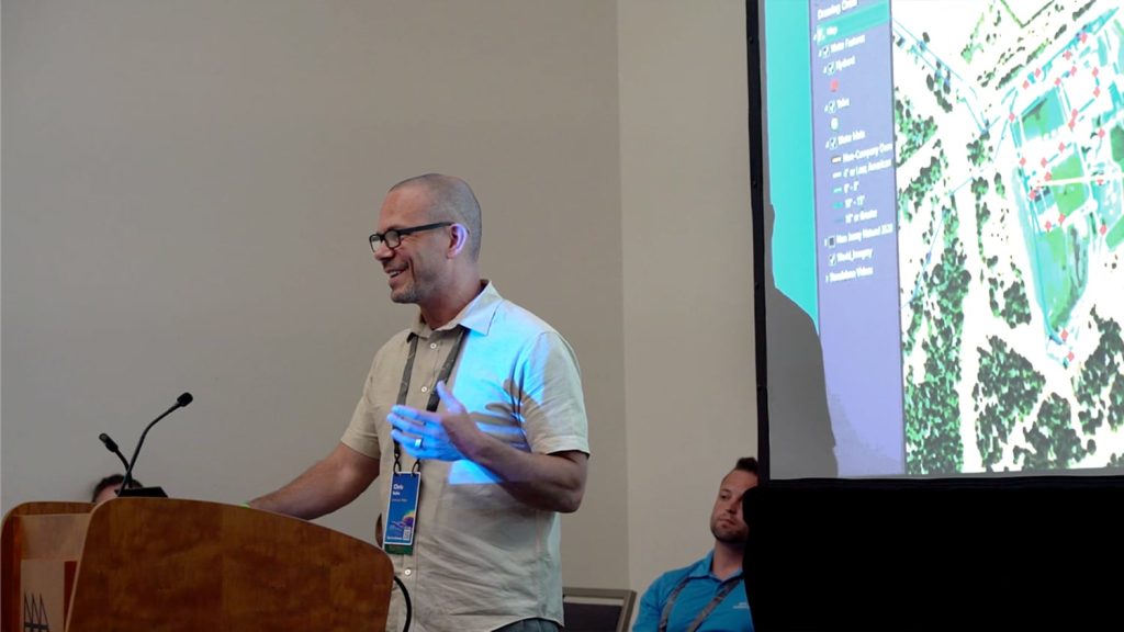
American Water: Upgrading Data Collection and Drones [A 2022 Esri UC Session]
In this 2022 Esri UC presentation, Christopher Kahn, Director of UAS and Geospatial Services at American Water, shares how he helped his team update their GNSS technology to save time and money and increase accuracy for asset management countrywide.
Al’s Corner: Technical Tips
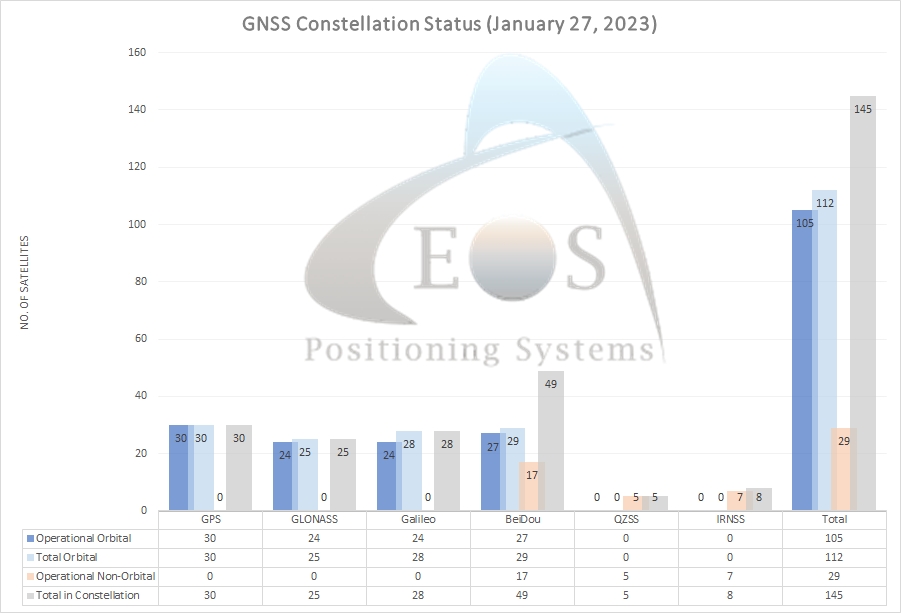
Current GNSS constellation status for January 27, 2023:
Update on Eos Tools Pro for Windows:
Eos Tools Pro for Windows version 1.0.74 is now available for download. We recommend anyone using Eos Tools Pro on Windows download this new version (up from version 1.0.7).
Download v1.0.74 Here >
Customer Spotlight
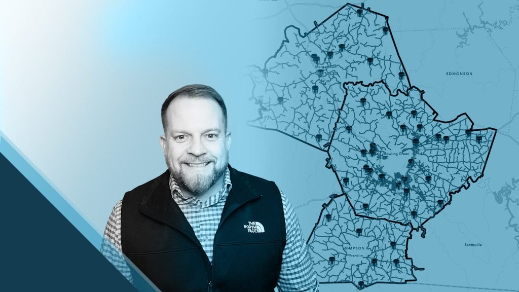
B. J. Malone has turned his experience into efficiency at Warren County Water District (Warren Water). As the IT and GIS manager, B. J. has transformed the water district’s field work and related workflows with the shift from paper mapbooks to digital GPS and GIS. In our latest customer spotlight, he shares how he streamlined data for hydraulic modeling, improved time savings in locate requests, and enhanced accuracy throughout three water systems.
Upcoming Events
Esri Federal GIS Conference
February 7-8 | Washington, D.C.
Eos is pleased to be a Bronze Sponsor of this event. Join us at our booth to discover what’s new in GNSS and GPS for federal organizations using ArcGIS in the field.
DISTRIBUTECH
February 7-9 | San Diego, California
Eos is pleased to return to Distributech. Join us at our partner pavilion within the Esri booth (#3617). We’ll also be showcasing real customer use cases at two demo-theatre sessions in the Esri booth demo theatre. Stop by to learn about GNSS workflows for utilities.
AWWA Pacific Water
February 8-9 | Honolulu, Hawaii
Join Eos and Esri in our joint booth at the first Pacific Water conference since COVID-19 started. Our staff will be on hand to answer any questions about getting started with or using high-accuracy mobile mapping on Pacific islands.
City Gas Distribution
February 14-15 | New Delhi, India
Eos is pleased to return to this annual event for regional gas-utility industry professionals. Visit our booth to learn how GNSS solutions are revolutionizing as-built data collection.
Esri Midwest UC
February 22-23 | Chicago, Illinois
Eos is pleased to sponsor this regional Esri User Conference. Visit our booth to learn what’s new in GNSS solutions for local governments, utilities, and other professionals using ArcGIS apps in the field.
Delaware Rural Water Association
February 22-23 | Harrington, Delaware
Join Eos with Esri in Delaware. Ask our experts how to get started with, or advance your skills with, high-accuracy mobile data collection.

