Feature Story
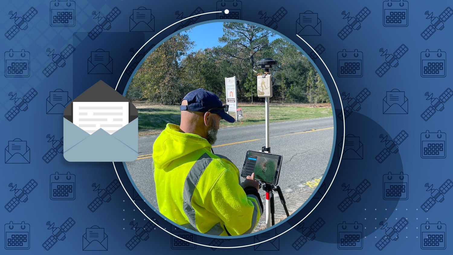
/// Building Confidence at Cassatt Water with Valid Valve Locations

Like many water utilities, Cassatt Water used to rely solely on CAD drawings and paper mapbooks to locate their assets in the field. After digitizing their drawings into a GIS, the team then became determined to increase the accuracy of their maps. Learn how the entire Cassatt Water team came together to adopt new high-accuracy mobile technology, improve the accuracy of valve locations, and ensure that they leave the next generation of utility personnel with reliable digital maps.
Industry News

Surveying A Railroad
Photo credit: Amaro
How do you survey 50,000 electrical assets along 400 miles of rail? If you’re Arcadis, you use an Arrow GNSS receiver and ArcGIS Survey123. Read how Arcadis conducted a digital field survey to collect the data and how they use GIS to manage the information, in this new GPS World article about a project in the U.K.
Al’s Corner: Technical Tips
Current GNSS Satellite Status for November 21, 2023:


How to Create a New ArcGIS Web Map for High-Accuracy Field Data Collection
Back with updated steps, this article walks you through how to create a new ArcGIS web map for use in high-accuracy field data collection.
Customer Spotlight

Customer Spotlight: Gideon Simons Conducts Confidence in Rail Mapping at Arcadis
At Arcadis, Gideon Simons is responsible for digital solutions, project delivery, client development, and more. After we learned about Gideon’s innovative data-collection project with Network Rail in the U.K., we asked Gideon to tell us about more about his approach to solving business needs. In this customer spotlight, discover what drives Gideon and his approach toward creating value for clients in his role as Associate Director of GIS and Geospatial.
Upcoming Events

Esri Mid-Atlantic UC
Dec. 13-14 | Pennsylvania, USA
Are you interested in improving your mobile map accuracy? Find our authorized Eos representative at our expo table both days.

Australian Archaeological Association
Dec. 6-8 | Queensland, Australia
Do you use maps for archaeology? Find our Australia representative in Broadbeach next month to explore GNSS solutions for your sites.