Feature Story
/// Beyond the Tide: Tracking California’s Coastal Change with Drones, GIS, GNSS, and Satellite Imagery
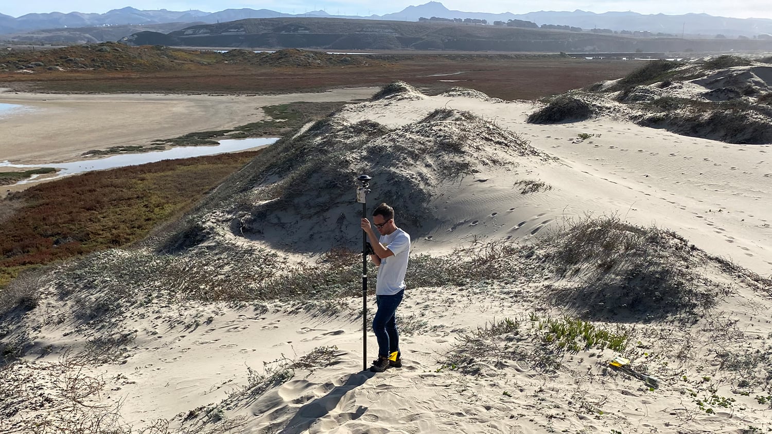
Dr. Kyle Emery, an Assistant Researcher at the Marine Science Institute of the University of California, Santa Barbara, is leading a three-year research project to measure and monitor how sandy beaches and nearby dunes along the California coast change seasonally and after strong events. Using a combination of technologies — including an Arrow Gold+ GNSS receiver, the free CRTN network, ArcGIS Field Maps, and a DJI Mavic 3 Multispectral drone — Emery and his assistants will collect data at 14 sites along the California coast. He hopes to uncover patterns in beach and dune changes, and ultimately thereby enable researchers to hopefully more accurately predict the impact of sea level rise (SLR) on these vulnerable ecologies. Emery hopes his work can benefit not only local communities that depend on these resources, but also researchers globally by providing a method to monitor beach ecology over time and potentially at large scale.
Industry News
Building a System to Build an Island Resort
By GPS World
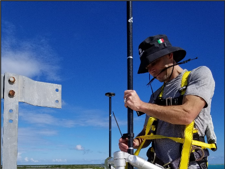
When Chris Khan joined a golf-course construction project on the luxury island of Barbuda, he put his experience to practice. Learn how Kahn deployed Arrow Gold base stations with UHF repeaters to enable island-wide accuracy without Internet.
[Video Interview] Arrow Gold+: Enabling Free 6” Accuracy
By GIS Café
Got GalHAS? In this conversation, Eos’s Mike George and GIS Café’s Sanjay Gangal discuss why the world’s newest global, free correction system is a game changer for all industries.
Fieldwork Handbook: ArcGIS User Stories
By Esri
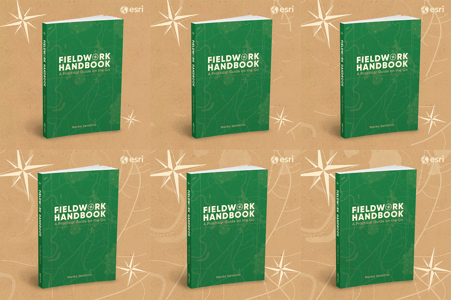
Do you ever wonder how other mapping professionals use ArcGIS apps? This new Fieldwork Handbook from Esri showcases how GIS users like you capture, validate, inspect, monitor, and do more with mobile maps. Plus, don’t miss three featured Eos customers: Network Rail and Arcadis for railroad mapping, Cassatt Water for valve location verification, and PG&E for their cutting-edge gas field data collection.
Al’s Corner: Technical Tips
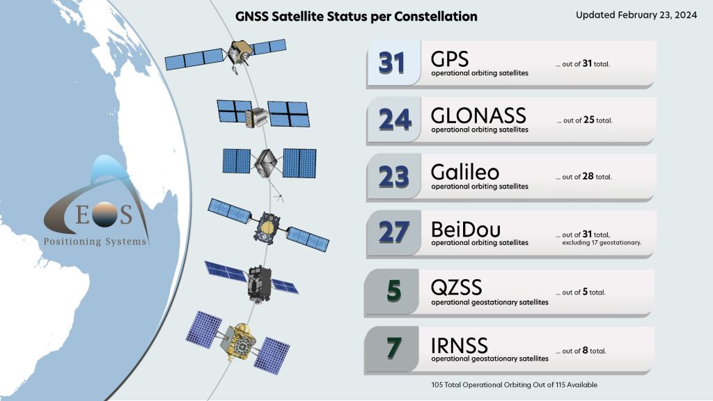
Current GNSS Satellite Status for February 23, 2024:
Customer Spotlight
Charles Huddleston Sparks Efficiency at Public Utilities with GNSS
Charles Huddleston knows about maps. As Senior VP of Engineering at Central Service Association (CSA), Charles focuses on providing affordable, efficient solutions for CSA’s utility clients. That includes the expanded mobile mapping solutions CSA offers. Learn how Charles developed his passion for utility service and how he and CSA provide best-in-class solutions to utilities!
Upcoming Events
NvRWA Conference & Expo
March 5-6 | Nevada, USA
Eos and Esri are back in Sparks, Nevada, to spark interest in high-accuracy mobile mapping! Save your spot for our three-hour GNSS and GIS training workshop. The workshop is free for attendees; it takes place March 6 and will include education and hands-on data-collection exercises.
GeoConnect Asia
March 6-7 | Singapore
Are you heading to GeoConnect Asia in Marina Bay Sands? Find our booth (G30) and ask our global GNSS veterans about your best options for higher accuracy throughout Asia. Be sure to catch our session on March 6 at 12:40 p.m. local time.
CalGIS
March 18-20 | California, USA
Extend your St. Patrick’s Day luck into the workweek! Eos and Esri are providing a free, 4-hour mobile mapping workshop to registered attendees of CalGIS on March 18 in Visalia, CA. Then, visit the Eos booth during the next two days of expo to ask us any mapping questions!
Colorado Rural Water
March 19-20 | Colorado, USA
There’s even more to love about Loveland, CO, in mid-March. Eos and Esri are back at CRWA’s annual event. Find us at our booth (#98) in the exhibit hall, and be sure to join our session on Monday, March 20.
Texas RuralWaterCon
March 26-28 | Texas, USA
Eos and Esri are back in San Antonio to talk all things rural water mapping! Ask our experts anything about GIS, GNSS, and how to collect data across even the most rural parts of Texas.

