Feature Story
/// Down to the Shore: New Jersey American Water Maps a Million Assets with Sub-Inch Accuracy
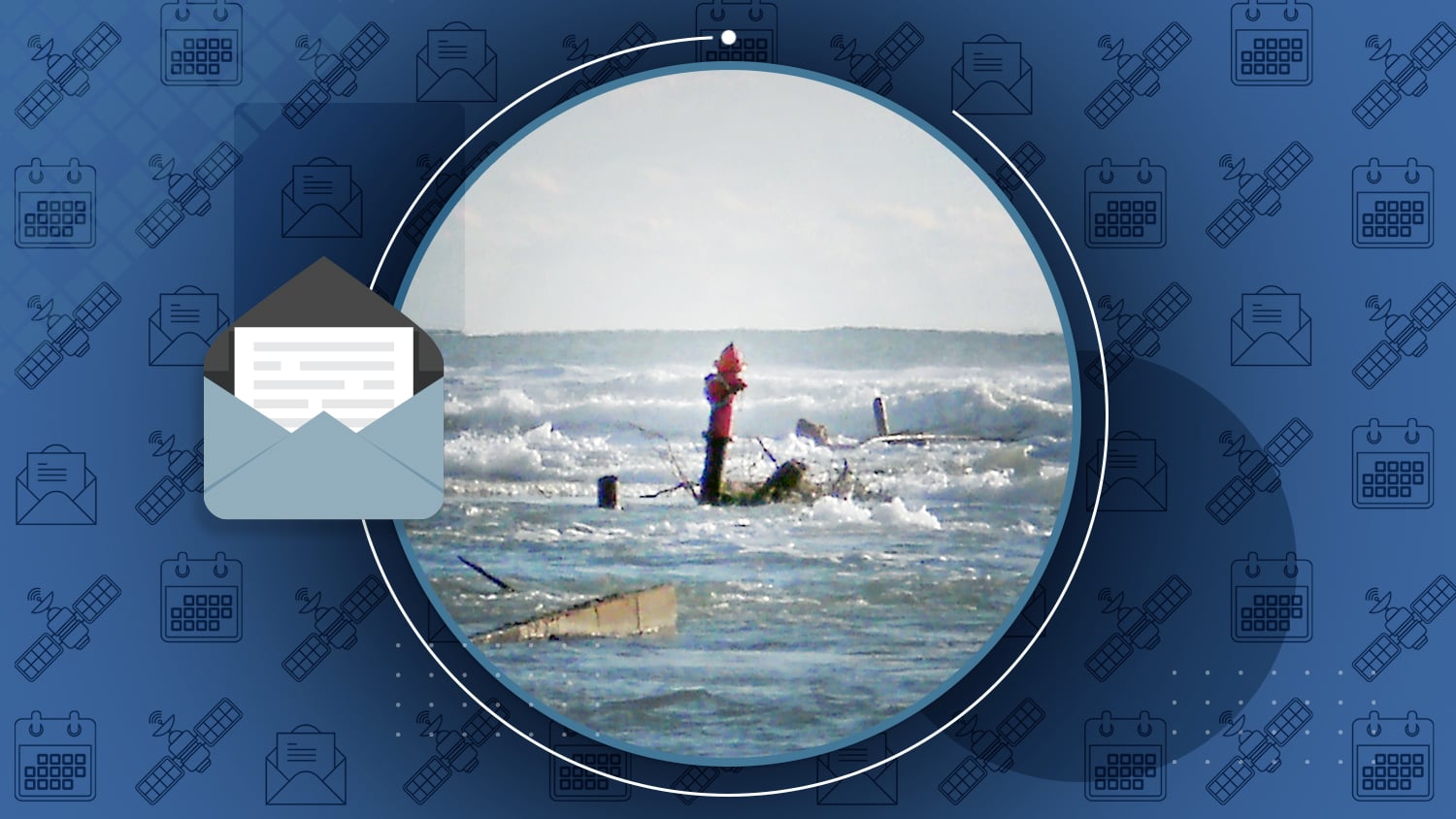
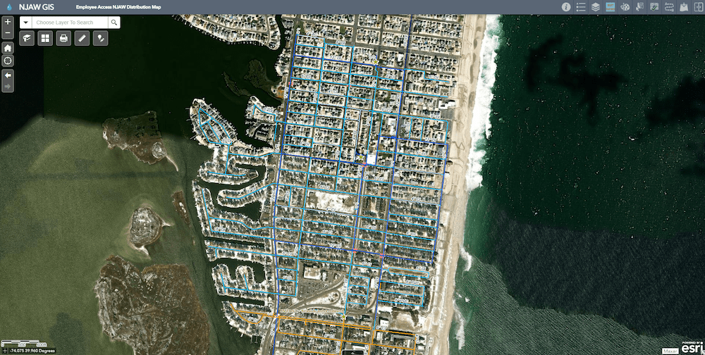
When Hurricane Sandy transformed New Jersey, Chris Kahn saw the difference having a high-accuracy map makes: “In Mantoloking, it could take hours to days to find one service line under the rubble. In Ortley Beach, it took a few seconds.” That difference in location accuracy helped prompt New Jersey American Water to map over a million individual assets with sub-inch accuracy in a journey that took years. The effort paid off. Today, the utility estimates it’s saving $2.6M/year thanks to accurate maps.
Industry News
Esri UC 2022 Recap [Photo Gallery]
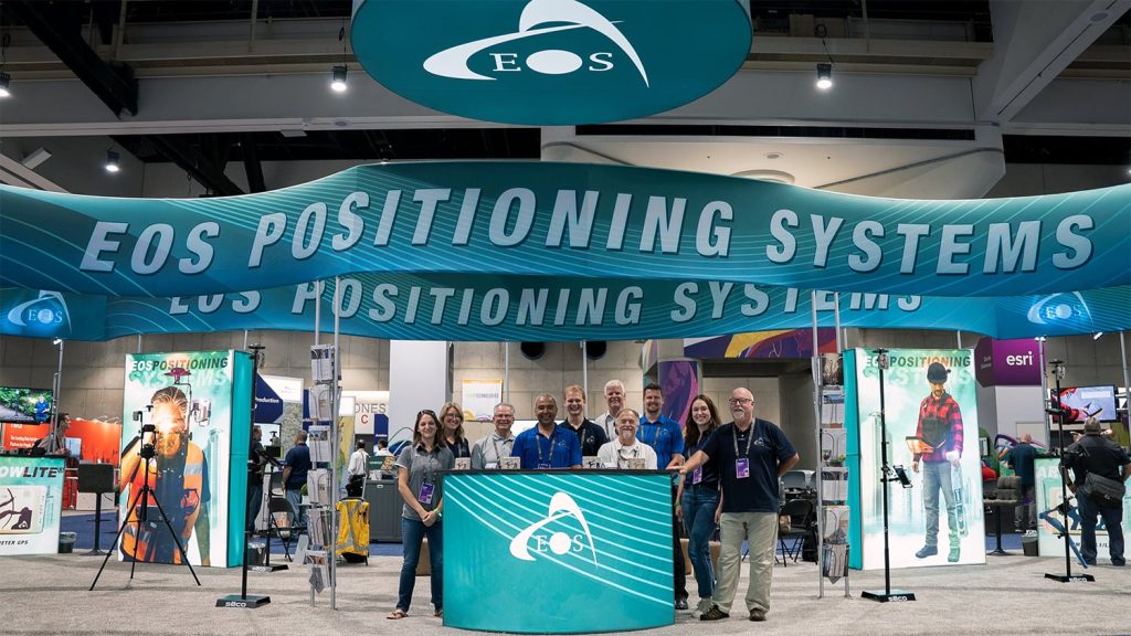
After two years of virtual events, the 2022 Esri User Conference finally returned in person to San Diego, California. Eos put together a photo gallery of event highlights. Browse our booth, sessions, and sponsored socials, and get to know a little bit more about our team.
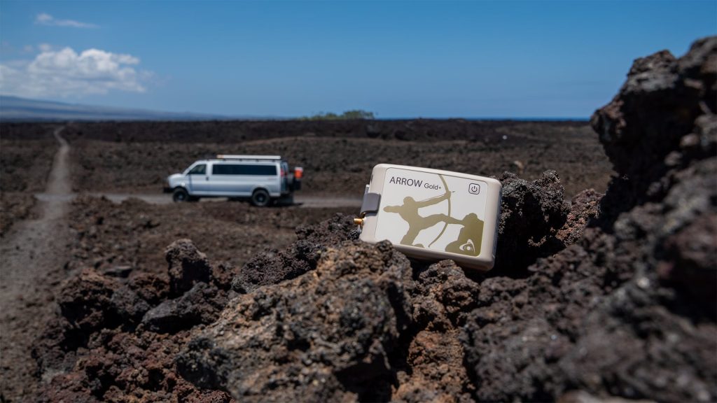
Do you need an accurate GNSS receiver for archeological surveying? Whether you need to capture corners of ancient landmarks, geo-reference GPR data, document important artifacts, track excavation, or more, Eos has a tool to help.
High-Accuracy As-Builting for Gas Utilities: Webinar with Esri
Want to achieve high-accuracy as-built mapping for your gas utility? Revisit this April 2022 webinar with Esri, Vermont Gas Systems, Apex Utilities, and Eos Positioning Systems to learn how to get started.
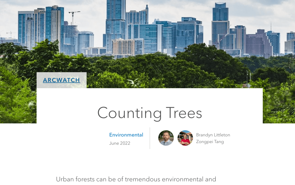
Counting Trees
By Brandyn Littleton and Zongpei Tang, for Esri’s ArcWatch
Urban forests can be a boon to municipalities economically, socially, and environmentally. But their upkeep requires having an accurate record. To better understand its urban forestry inventory, the City of Austin Public Works staff hired Halff Associates to perform a complete survey. See how they phased out the project and the results they are reaping today >
Al’s Corner: Technical Tips
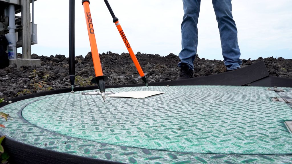
[VIDEO] How to Test the Accuracy of Your GNSS Receiver with a Survey Monument
Do you plan to use your GNSS receiver with RTK? This brand-new video will show you how to test the accuracy of your GNSS receiver and GIS app with a survey monument. (Recommended.)
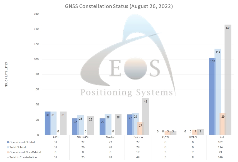
Current GNSS constellation status for August 26, 2022:
Customer Spotlight
Customer Spotlight: Chris Kahn, with Eos from the Beginning
Chris Kahn was one of the earliest adopters of Arrow GNSS technology. Learn his journey from trying out a brand-new Bluetooth GNSS receiver (the Arrow) to his work today with GNSS, drones, and more!
Upcoming Events
Central Florida GIS Workshop
September 11-13 | Daytona Beach
Visit our authorized representative’s booth for a chance to ask all your questions about high-accuracy mapping. In addition, our expert will give a session about best practices when using the free Florida RTK network.
Arkansas Rural Water
September 12-13 | Hot Springs
Join Eos and Esri in our cobranded booth to learn everything there is to know about getting started with high-accuracy mapping.
IWA World Water Congress
September 11-14 | Copenhagen
Join Eos in the Esri booth at this annual international water event. If you are interested in learning about high-accuracy mapping but haven’t been able to meet Eos at a show in Europe since COVID, this is a great chance to meet our team and discuss local solutions.
Find Eos with Esri in Denmark >
NCAUG
September 20-23 | Carolina Beach
Visit an Eos representative in North Carolina to discuss adding high accuracy to your GIS field work.
WaterPro
September 26-28 | National Harbor, MD
Visit Eos at WaterPro. While you’re there, don’t miss our customers’ presentation on going from paper to digital high-accuracy maps on Sept. 27 in Room 3!

