
ArcGIS Field Maps is a brand-new app from Eos partner Esri. This is a map-centric data-collection app that not only fully supports Eos GNSS receivers, but also allows you to combine high accuracy with many more capabilities than data-capture, including location tracking and navigation. Field Maps supports submeter and RTK locations and metadata with Eos GNSS receivers. This is an ideal app for mapping professionals who want to capture, use, and monitor high-accuracy locations in real time, directly within their Esri ArcGIS platform. Finally, Field Maps also supports several of our advanced GNSS solutions.
Collect Accurate Data
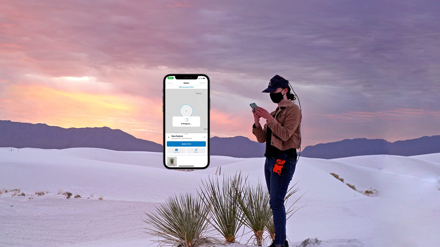
ArcGIS Field Maps supports high-accuracy Eos GNSS receiver locations, elevations and metadata.
Navigate with Confidence
Save time in the field by quickly and confidently relocating to the precise locations of assets.
Ditch Legacy Tools
Combining Eos GNSS receivers and Field Maps allows you to eliminate or reduce paper, measuring tapes, and other inefficient legacy field tools, in favor of a single, reliable digital mobile mapping solution.

Use Laser GIS
Field Maps supports the Eos Laser Mapping™ solution, which lets a mobile worker capture asset coordinates without having to physically occupy them.
Map Buried Utilities
Field Maps also supports the Eos Locate™ for ArcGIS® solution, which allows utilities, municipalities, and related organizations to easily and accurately map underground infrastructure.
Improve Operational Awareness
Ensure safety and productivity with real-time, high-accuracy location tracking.
Consider the Eos GNSS Receiver Bundle with ArcGIS
U.S. purchasers are eligible to bundle specific Eos GNSS receivers with flexible ArcGIS licensing from authorized Eos resellers.
What We Like about this Partner App: ArcGIS Field Maps
iOS and Android
ArcGIS Field Maps supports Eos GNSS receivers on iOS® and Android. Solutions like Eos Laser Mapping and Eos Locate are supported on iOS.
Flexible and Familiar
Choosing ArcGIS Field Maps allows you to stay within your familiar Esri environment, while gaining higher accuracy from Eos GNSS receivers.
High Level Support
Eos representatives are able to support you as you set up ArcGIS FIeld Maps with Eos GNSS receivers. Current customers can access complimentary tech support.
Advanced Mobile GNSS Mapping
ArcGIS Field Maps and Eos GNSS are a mobile mapping match. Collect, edit, and navigate back to your assets with reliable, repeatable accuracy — all within a familiar interface and Esri environment.
Success Stories with Eos GNSS and ArcGIS Field Maps
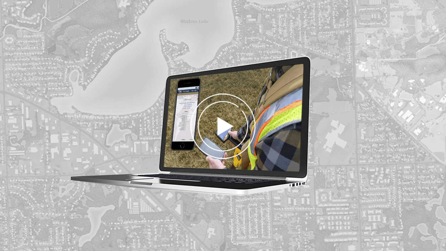
Bring Your Buried Assets to Life: Webinar with Esri Electric and OHM Advisors
In this webinar, Esri, OHM Advisors and Eos explore underground utility mapping with Eos Locate™ for ArcGIS®, including a utility case study.
More Info
Customer Spotlight: Michael Kolody Serves Clients with Cartography
Mike Kolody turned his childhood love of cartography into a career. Today he helps clients modernize mobile GIS and GNSS mapping workflows.
More InfoWhat Customers are Saying
The combination of accuracy from the Arrow Gold, the seamless integration into ArcGIS Field Maps, and the iPad®‘s user-friendliness just makes this an easy-to-adopt mapping solution. It’s a solution mobile teams actually like to use.
Mike KolodyProject Manager, (formerly) Colliers Engineering & Design
Companies Using Eos GNSS Receivers with ArcGIS Field Maps
Eos Solutions Compatible with ArcGIS Field Maps

Eos Locate™ for ArcGIS®
Eos Locate™ for ArcGIS allows you to map buried utilities directly into your Esri ArcGIS environment with survey-grade accuracy from Eos GNSS receivers, in near real time with just the push of a button.
Eos Laser Mapping™ for ArcGIS
Eos Laser Mapping™ for ArcGIS allows you to collect assets from afar with survey-grade accuracy. This is helpful when assets you wish to collect are located in either difficult or unsafe locations to occupy, or in GNSS-impaired environments.


Survey-Grade Elevations
Eos offers free, real-time GEOID height conversions to customers using our Eos GNSS receivers. These real-time conversions eliminate the need post-processing Z values.
Recommended Resources
4 Free GPS Training Workshops: Start-to-Finish Training
