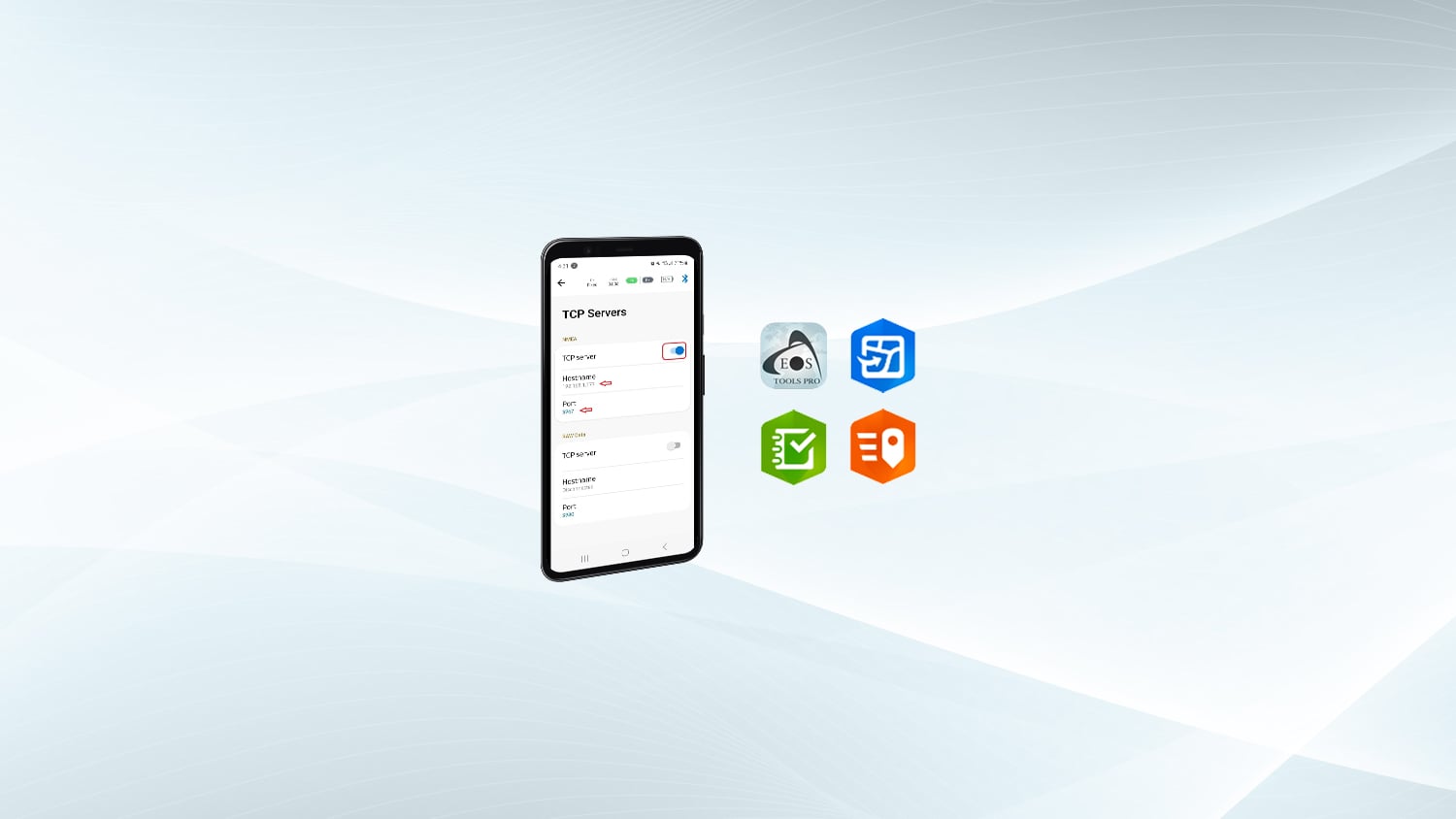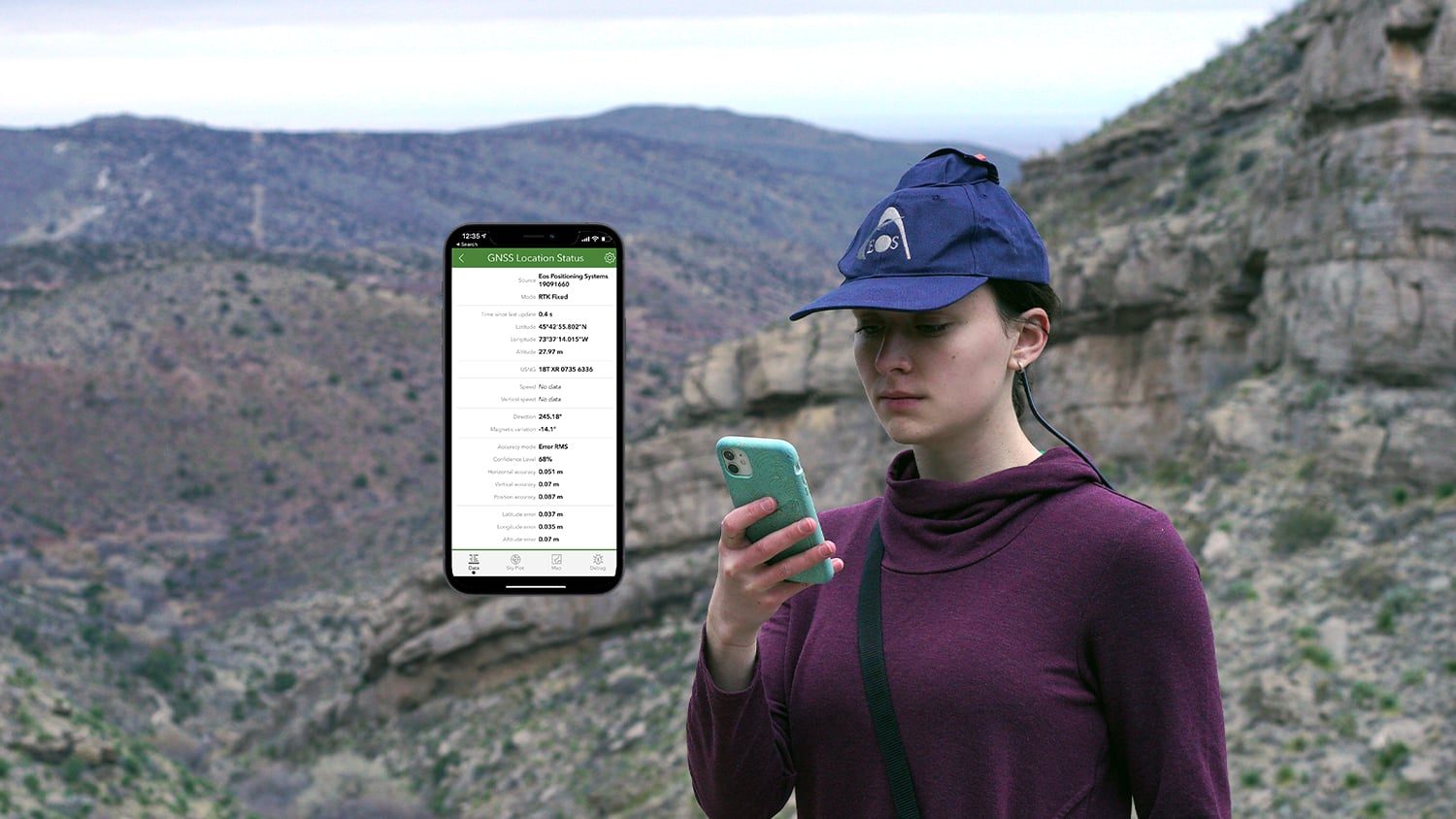

ArcGIS Survey123 is a form-based data collection app from Eos partner Esri. Survey123 natively supports Eos GNSS locations and valuable metadata. By combining Survey123 and Eos GNSS receivers, you can transform workflows that used to require paper forms and manual measurements into a single, streamlined, digital, and accurate data-collection workflow. With high-accuracy locations provided by Eos GNSS receivers, you can create detailed forms in Survey123 that yield both accurate and critical information. Survey smarter, with survey-grade accuracy from Eos GNSS receivers, in Survey123
Capture Accurate Locations
ArcGIS Survey123 seamlessly integrates with Eos GNSS receivers, so your teams can capture survey-grade accuracy with each form.
Ditch Paper Workflows
Say goodbye to paper forms and manual measuring tools. Data collection with Survey123 and Eos GNSS receivers can be done once, quickly, with high precision and no redundant labor.
Control GNSS Views
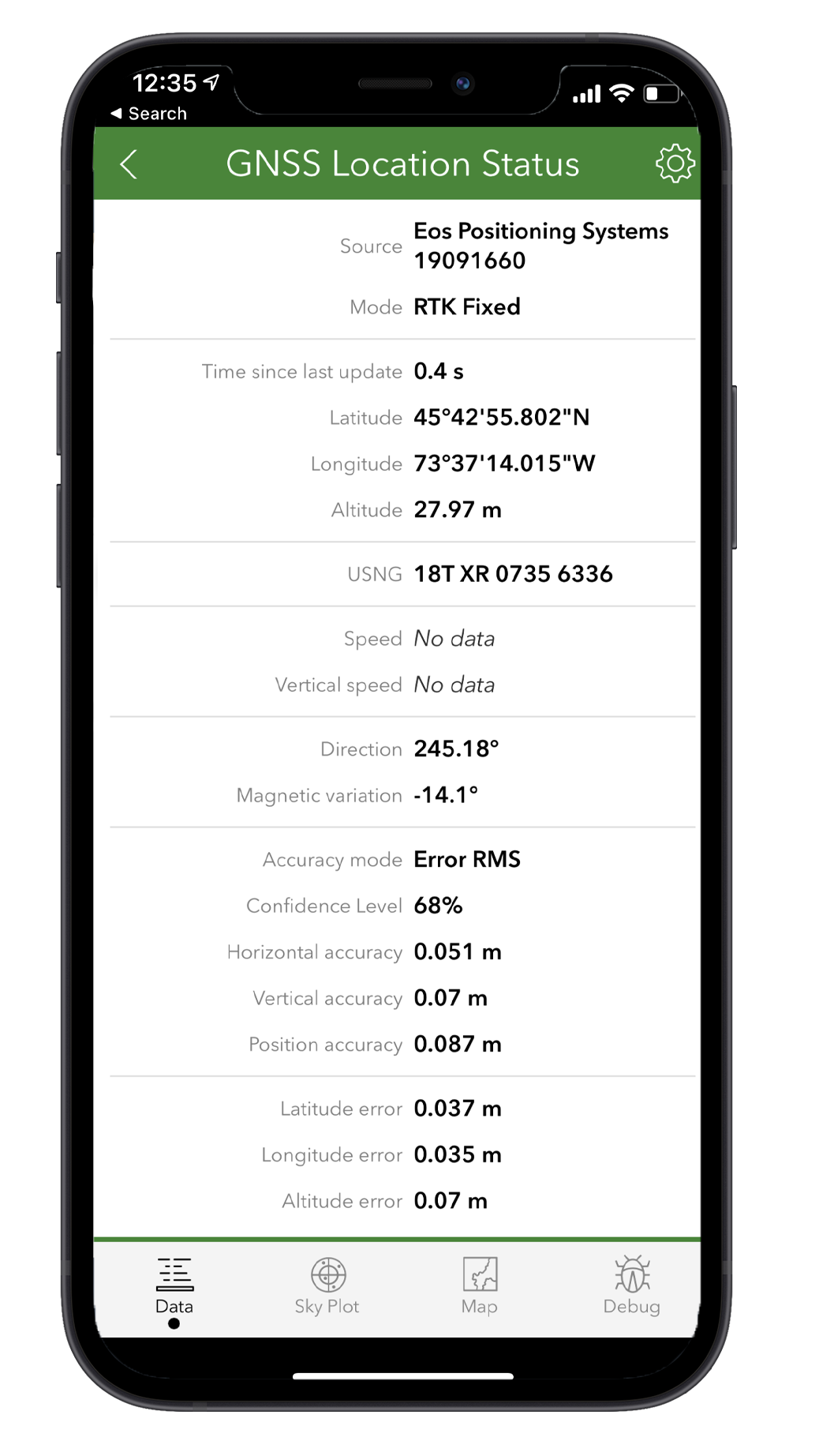
With Survey123 Connect, you can decide exactly which Eos GNSS fields are collected, and how they are displayed in the field.
Datum Shift for Your Maps
Eos GNSS receivers are uniquely designed so you can apply a real-time datum shift to its coordinates to match your map datum.
Share Data
The Eos GNSS locations you capture in Survey123 can be easily shared with internal and external stakeholders through other GIS applications.
Keep it Simple
Survey123 and Eos GNSS receivers work together to make digital GNSS data collection simple. Just pair the two, set up your forms, and anyone can start capturing high-quality data.
Consider the Eos GNSS Receiver Bundle with ArcGIS
U.S. purchasers are eligible to bundle specific Eos GNSS receivers with flexible ArcGIS licensing from authorized Eos resellers.
What We Like about this Partner App: ArcGIS Survey123
Device Agnostic
ArcGIS Survey123 supports Eos GNSS receivers on iOS®, Android and Windows devices.
Robust, yet Simple
Get the benefits of digital data collection and democratized GNSS accuracy — without having to train your mobile crews in the intricate details of GIS and GNSS.
High Level Support
Eos representatives can provide our customers with technical support as you set up ArcGIS Survey123 with Eos GNSS receivers.
Survey Smarter
Survey assets with survey-grade accuracy when you combine Eos GNSS receivers with ArcGIS Survey132. Survey123 is one of the most robust yet accessible and customizable apps to use with Eos GNSS receivers, thanks to the unique partnership between Eos and Esri.
Success Stories with Eos GNSS Receivers and ArcGIS Survey123

Logos Arqueología Streamlines Archaeological Recording with Eos Arrow Gold
Logos Arqueología streamlines archaeological recording across Chile with Eos Arrow Gold, achieving centimeter-level accuracy and integrated field workflows.
More Info
Progress You Can See: How Waller County Built a Trustworthy Road GIS During Rapid Growth
Waller County, Texas, built a high-accuracy road GIS using ArcGIS and Eos GNSS receivers. Their work improves 9‑1‑1 routing, road maintenance, budgeting, and public transparency.
More Info
Collecting Evidence-Grade Rights of Way Data to Justify Investment and Maintenance
Discover how Sheffield City Council modernized Public Rights of Way data collection using ArcGIS QuickCapture and the Skadi 100 GNSS receiver. Learn how accurate, evidence-grade data supports funding, maintenance, and liability management.
More InfoWhat Customers Say about Eos GNSS Receivers and ArcGIS Survey123
Companies Using Eos GNSS Receivers with ArcGIS Survey123









Eos Solutions Compatible with ArcGIS Survey123

Survey-Grade Elevations
Eos offers free, real-time GEOID height conversions to customers using our Eos GNSS receivers. These real-time conversions eliminate the need post-processing Z values.
Recommended Resources

4 Free GPS Training Workshops: Start-to-Finish Training
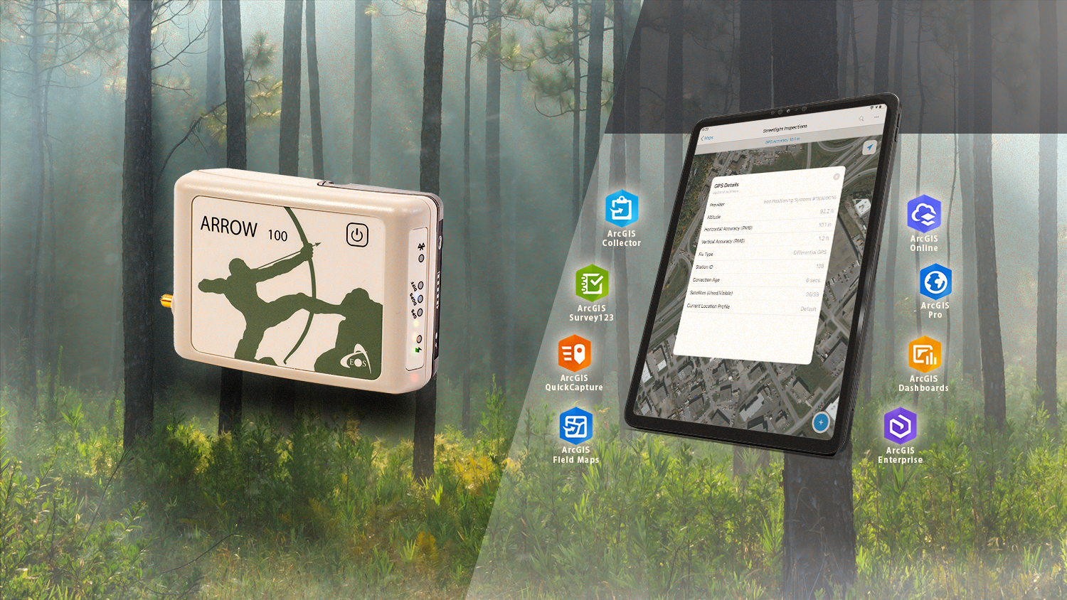
Eos Positioning Systems releases new Arrow Bundles with Esri licensing