Overview
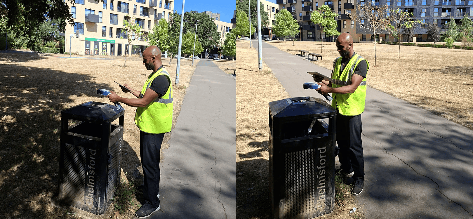
About 30 minutes northeast of London, Chelmsford City Council manages everything from parks and planning to waste collection, property services, and customer support. It also manages thousands of physical assets across the city, including benches, bins, lamp columns, and other street furniture.
For years, much of that asset knowledge lived with experienced staff rather than in a centralized GIS. Some records existed in spreadsheets or paper files. Others weren’t documented at all. When employees retired or moved on, valuable knowledge often left with them.
Amin Sule, Data and GIS Lead at Chelmsford City Council, and his team support GIS operations across the authority. As they reviewed their asset management processes, they identified a significant gap: many assets had never been systematically captured with accurate geographic coordinates.
At the same time, local authorities across the UK were under pressure to carry out and document gravestone “topple testing” programs, requiring precise location records for individual gravestones.
“There was a real need to capture the data accurately,” Amin explains. “So we could submit the audit and say, ‘Here it is, this is the topple testing we’ve done, this is exactly where this point is.’ We were using phones before, but the accuracy was between five to eight meters or so.”


To meet those requirements, Chelmsford invested in its first high-accuracy GNSS receiver, an Eos Arrow 100. The gravestone mapping project quickly demonstrated the value of accurate data collection and became the catalyst for a broader effort to build a trusted asset database. More recently, the council upgraded to the Skadi 100, pairing it with ArcGIS Field Maps and ArcGIS Online to make high-accuracy data capture even more accessible for field crews.
Read the full case study from MGISS to learn how Chelmsford is preserving critical asset knowledge, improving operational resilience, and simplifying field data collection with the Skadi 100.
You May Also Like One of These Posts

Collecting Evidence-Grade Rights of Way Data to Justify Investment and Maintenance
Discover how Sheffield City Council modernized Public Rights of Way data collection using ArcGIS QuickCapture and the Skadi 100 GNSS receiver. Learn how accurate, evidence-grade data supports funding, maintenance, and liability management.
Archaeology Scotland Promotes Heritage and Empowers Communities
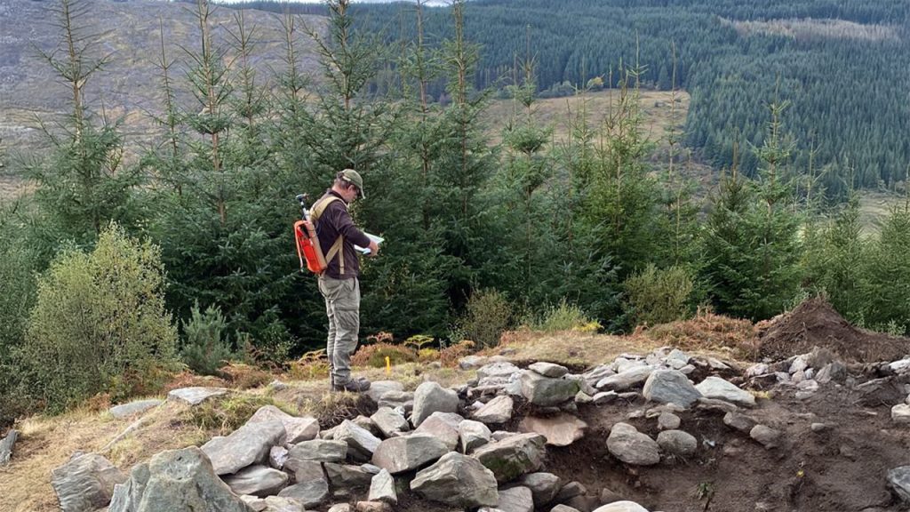
Archaeology Scotland improved field workflows, regulatory reporting, and data accuracy with the Arrow 100. See how they expanded access to GIS tools across Scotland’s rural and under-resourced areas.