How a three-person GIS team replaced an aging GPS workflow with real-time field data collection
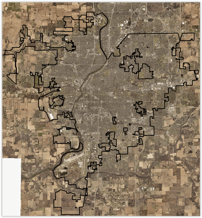
The City of Rockford, Illinois, is located approximately 90 miles west-northwest of downtown Chicago. The City of Rockford relies on GIS to support everything from water infrastructure and stormwater assets to transportation projects and field operations. Within the Public Works department, a three-person GIS team maintains critical datasets, which are then used throughout the municipality by office staff, field crews, and decision makers.
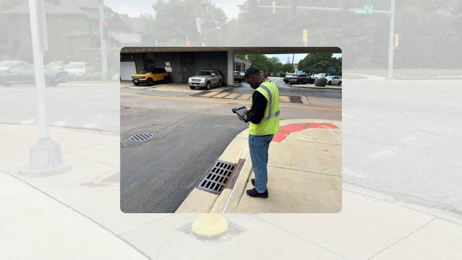
To help keep thousands of assets updated for its approximately 150,000 residents, Rockford supplements its GIS team with summer interns, who collect and verify infrastructure data in the field.

GIS Team: 3-person Public Works team
Supports: Water, stormwater, transportation, and other departments
GIS Platform: ArcGIS used across the organization
Maintaining accurate location information about hydrants, valves, inlets, streetlights, and other assets requires this level of continuous effort, and over the years Rockford has prioritized its maps.
“Rockford has had summer interns working on various projects since before I arrived here, even back when using printed paper maps. For years, we’ve been GPS-ing assets every summer with interns,” Rockford Senior GIS Project Manager Justin Emerson said. “If they finish, they just start over again with another asset inventory, because over time, things change.”
Modernizing an Aging GPS Workflow
For years, Rockford used legacy global navigation satellite systems (GNSS) receivers to collect GIS data. While the equipment served its purpose, the workflow proved cumbersome and accuracy stood to improve. Data captured in the field needed to be manually transferred to computers from the GPS devices’ memory cards, and transferring the data and making it available took days to weeks.

“The legacy units were starting to become outdated, and it could be a couple weeks before I downloaded all the data,” Emerson said.
Around the same time, the city was expanding its use of ArcGIS® Online and Esri mobile apps. The GIS team was shifting to centralized, cloud-based workflows. They started looking for a modern GPS solution that fit naturally into this evolution.
“As those systems were becoming outdated and cloud versions were coming around, I started getting information on all the products I could find,” Emerson said. “And I decided to try the Eos Arrows.”
The Solution: ArcGIS Field Maps and Arrow Gold+
“Everyone liked the iPad and handheld receiver because it was user friendly, especially getting in and out of cars.”— Justin Emerson, Senior GIS Project Manager, City of Rockford, Illinois
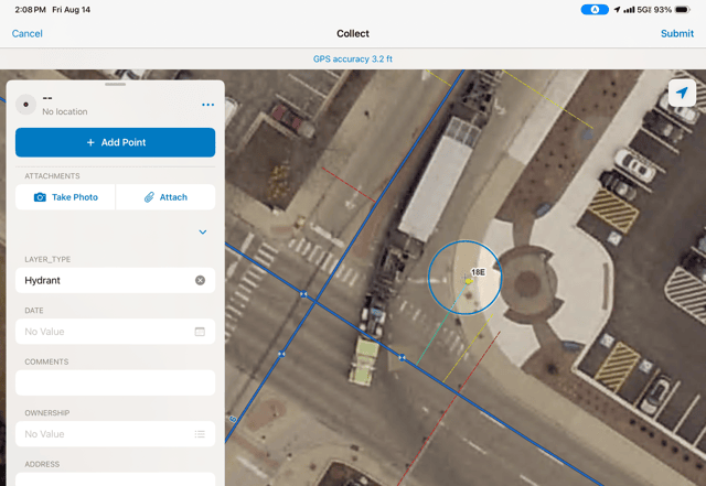
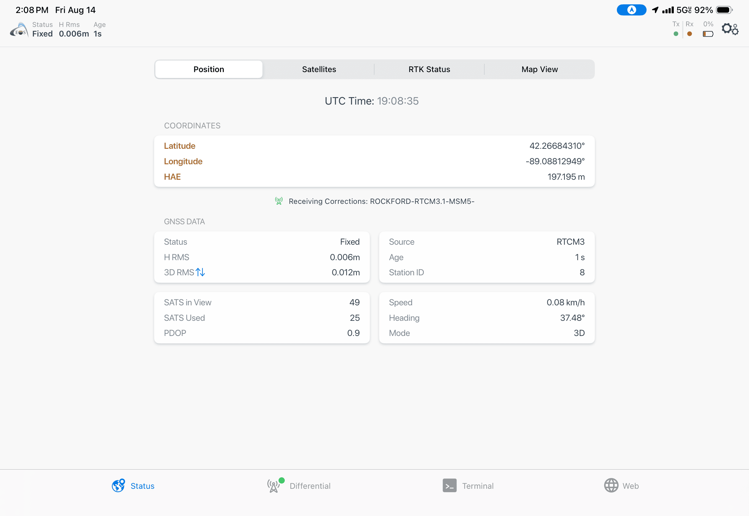
Emerson discovered Eos Positioning Systems® GNSS receivers, and a few features of the Eos Arrow Gold+® immediately stood out. The Arrow Gold+ integrated directly with ArcGIS Field Maps and ArcGIS Survey123. It also worked with the city’s existing RTK correction source for real-time, high-accuracy positioning and supported real-time Bluetooth® streaming to iOS® mobile devices. Emerson also appreciated that Arrow Gold+ didn’t require an additional subscription.
“It made sense to try the Eos Arrow Gold+,” Emerson said. “And it worked great.”
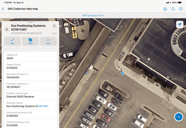
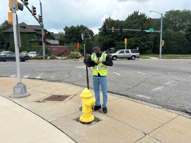
Rockford set up an Arrow Gold+ in a handheld configuration and paired it with an iPad® running ArcGIS Field Maps. The team later added a second Arrow Gold+ unit on a range pole for projects requiring survey-grade elevation accuracy. The handheld configuration quickly became a favorite of the interns.
“Everyone liked the iPad and handheld receiver because it was user friendly, especially getting in and out of cars,” Emerson said.
The Results: Every Summer, A Stronger GIS
“Everything is captured in real time in ArcGIS Field Maps. It’s centralized, it’s in the cloud, and people can see it in real time.”— Justin Emerson, Senior GIS Project Manager, City of Rockford, Illinois
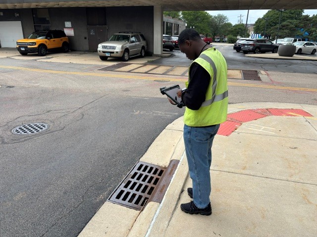
Each summer, Rockford’s interns use the Arrow Gold+ with ArcGIS Field Maps to verify and update the city’s ever-improving — and ever-changing — infrastructure data. Each project is the result of the team asking, “What is needed next?”
With the handheld Arrow Gold+, the interns and field crews typically acquire sub-inch (1-2 cm) horizontal accuracy. When using the range pole, they achieve around 8 mm horizontal accuracy — ideal for projects requiring precise elevation data.
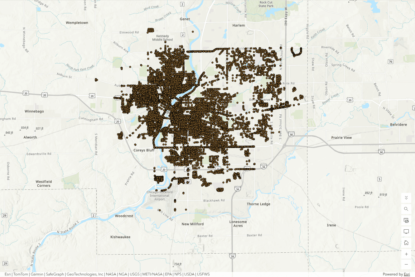
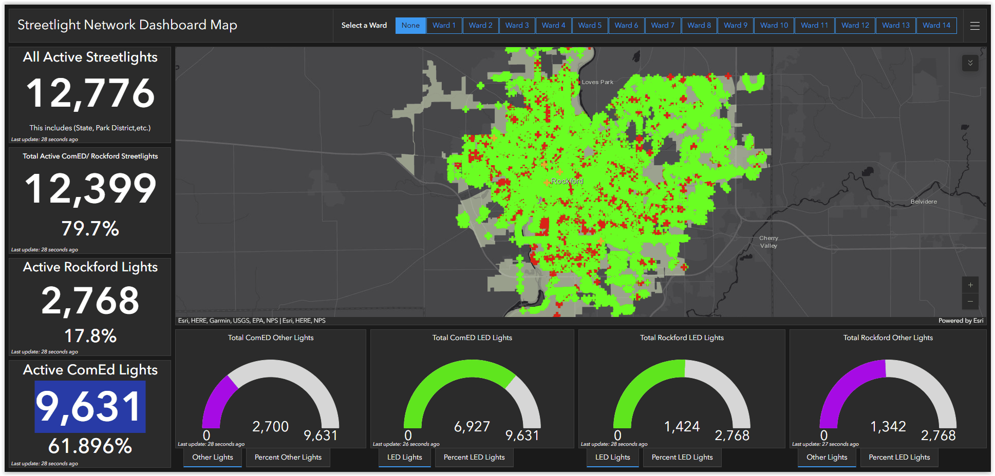
Mapping projects have to date included capturing all hydrants, valves, curb stops, inlets, streetlights, and other municipal assets. When the teams complete one inventory, they move on to another. In summer 2026, two groups of interns, each group with its own Arrow Gold+ and Field Maps setup, mapped 9,500 streetlights in just three weeks.
“Everything is captured in real time in ArcGIS Field Maps,” Emerson said. “It’s centralized, it’s in the cloud, and people can see it in real time.”
The streetlight inventory specifically helps Rockford accurately track which fixtures have been upgraded to LEDs, in turn helping Rockford track energy savings, costs, and overall asset management.
The city’s full-time staff also uses the high-accuracy workflow to support water utility initiatives, including lead service replacement, construction, and more. Rather than reacting to data gaps, Rockford has taken a proactive approach to maintaining its GIS.
Positioned for What’s Next
“In the office, everybody is utilizing a web map. It’s easy to share, easy to show on the map, and quick to get information to whoever needs it.”— Justin Emerson, Senior GIS Project Manager, City of Rockford, Illinois
One of the biggest improvements has been making field data available immediately to office staff. Today, locations updated in the field are processed right away.
The city is also part of a local consortium that provides access to additional web maps, such as county information. Between the city’s and consortium’s web maps, nearly every single Rockford employee is using some form of GIS.
“In the office, everybody is utilizing a web map,” Emerson said. “It’s easy to share, easy to show on the map, and quick to get information to whoever needs it.”
The small but mighty Rockford GIS group maintains not only web maps but also dashboards and other widely used ArcGIS applications.
As Rockford looks toward expanding their GIS even further, they are exploring a growing drone and LiDAR mapping program. They plan to use the Arrow Gold+ receivers to collect ground control points.
“We do a lot for a small team,” Emerson admits.
Explore Related Content
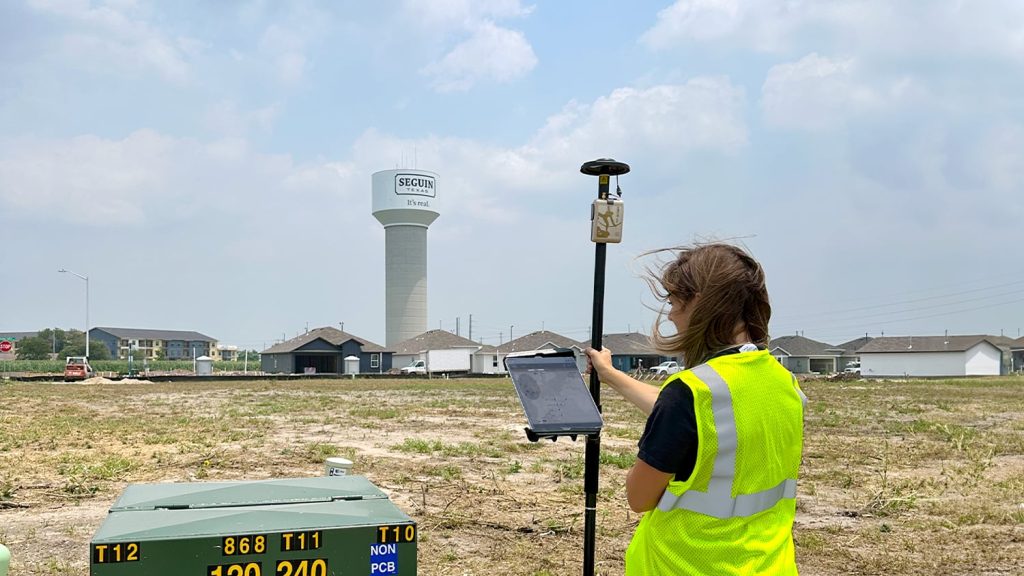
Small City, Big Initiatives: City of Seguin Improves Water and Electric Asset Management with GPS and GIS
To meet increasing services demand, Seguin is mapping water, sewer, and electric assets with survey-grade accuracy. This helps avoid construction incidents during development and streamlines future asset management.

From “Hard to Find” to “Hard to Miss”: How the City of Oak Hill Mapped Over 630 Manholes in Rural West Virginia While Rehabbing Them for the Future
How Oak Hill, WV, used high‑accuracy GNSS and ArcGIS Field Maps to map 630+ rural manholes — in the process, replacing unreliable legacy data with precise, standardized GIS.