About Eagle Pass Water Works System
Eagle Pass Water Works System (EPWWS) is a Texas-based utility serving over 20,000 customer accounts across 30 miles of assets in the Eagle Pass and Maverick County area near the south-central U.S. border. In October 2025, EPWWS officially formalized its GIS department, led by GIS Supervisor Wendy Garcia. This marked a major milestone in the utility’s decade-long GIS journey. Today, the GIS Department is a four-person team that plays a critical role in supporting water and sewer operations, planning, and development projects. The effective and efficient implementation of the GIS program into the utility was the culmination of years of effort throughout their journey.
Watch the Video Story:
The Challenge: Unused Dots on a Legacy Device
For nearly a decade, EPWWS struggled to establish a functional GIS program, although every effort paved the way. Initial efforts began as far back as 2010 with leadership’s support to find a data-collection method that could help build a reliable GIS. During the initial part of the journey, a then-GIS technician reporting to management led field data collection by utilizing a legacy handheld GPS device to collect asset locations. The legacy device’s black-and-white interface showed Xs and dots on a grid as data was being collected, but the data remained on the handheld device — siloed, unreferenced to a visual map until it was post-processed, and transferred over to a desktop-version map. Data in the desktop map were then cleaned up and prepared to be sent to a third party for further configuration into a general and shareable map of the utility system.
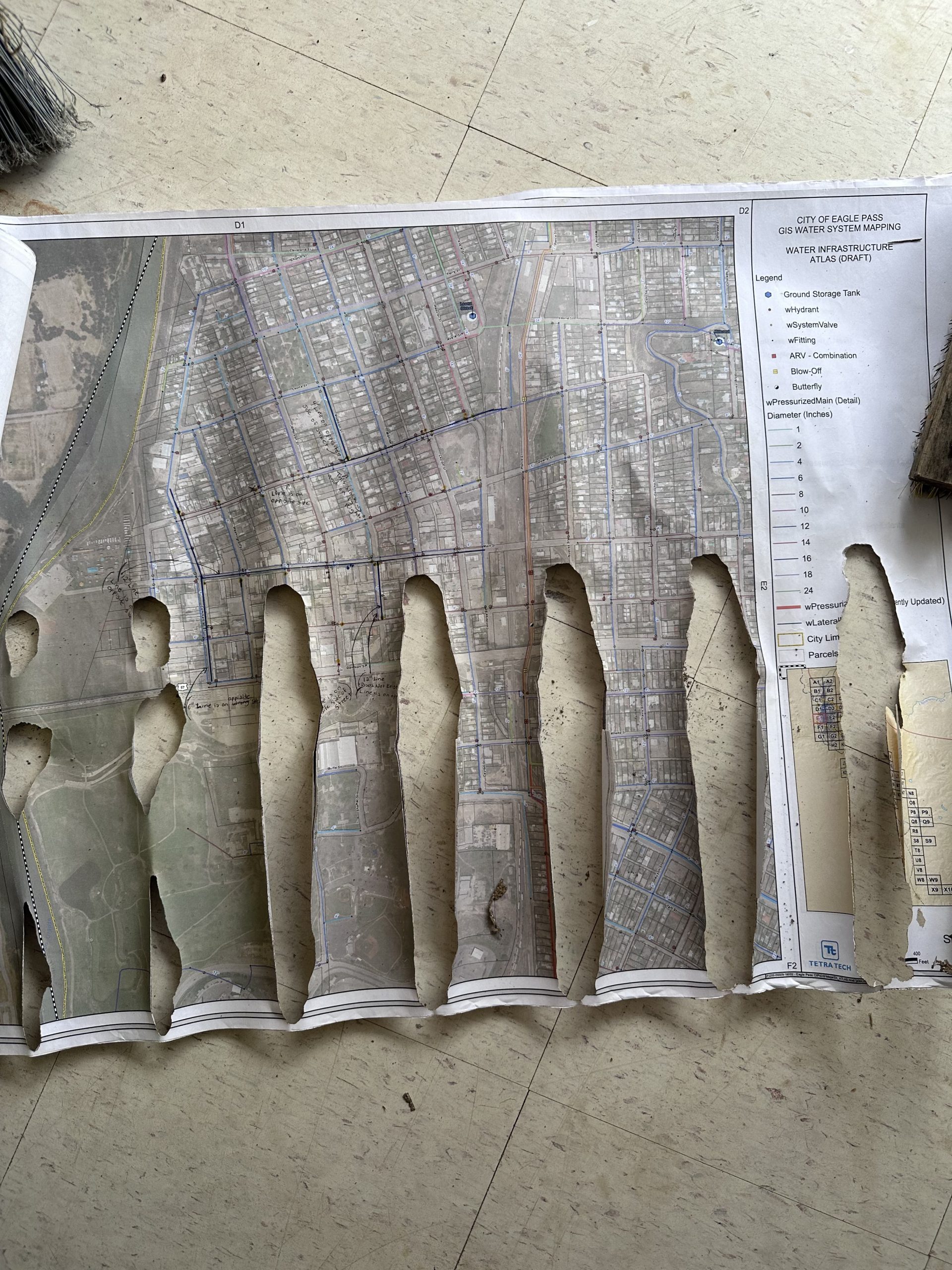
“The data-collection efforts were daily, although they became a challenge for the technician as there was no visual field reference to assist with the data collection, especially in questionable areas when trying to locate old water and wastewater infrastructure,” Garcia said.
In 2020, Garcia was hired as the GIS Lead, adding a second element into this GIS effort. Although the longtime human resource (HR) professional had no GIS experience, she had a passion for problem solving. Her enthusiasm of being part of this journey was her main motivation for learning as much as possible about EPWWS’s water-distribution and wastewater-collection systems to build a GIS that would suit the needs of the organization and community. The main goal was the creation of a GIS that would serve EPWWS stakeholders not just today, but well into the future.
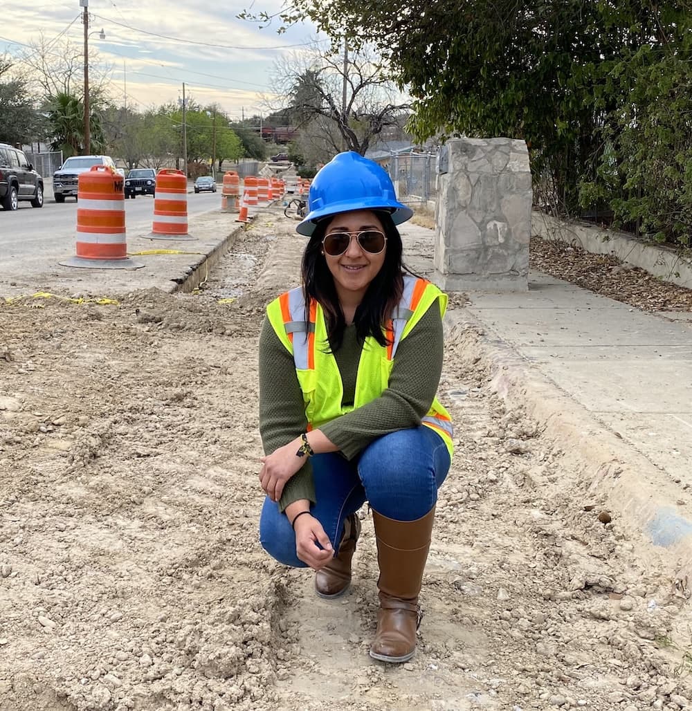
The Solution: Preparation and Elbow Grease
“The backbone of GIS is preparation.”— Wendy Garcia, GIS Supervisor, Eagle Pass Water Works System
At the time Garcia, who today is a licensed water professional and on her way to earning a wastewater license, didn’t know anything about water and sewer operations. So, she got to work learning.
“I ask a lot of questions, in order to understand everything from the beginning,” Garcia said. “Learning the origin and the why of things gives me a better grasp of the necessities and, thus, the solutions to be implemented.”
This led to a great collaboration amongst departments, colleagues, and GIS advisors.
“We have a really great team,” Garcia said. “A lot of meetings were held to understand the needs, to brainstorm, and to build a data dictionary.”
As Garcia learned how EPWWS operations worked, a greater understanding was developed for what the GIS should do, how it should be organized, and what information needed to be collected. From this point, the first step was to clarify, identify, and build a well-suited GIS data scheme.
“The backbone of GIS is preparation,” Garcia said.
Starting from Existing Records
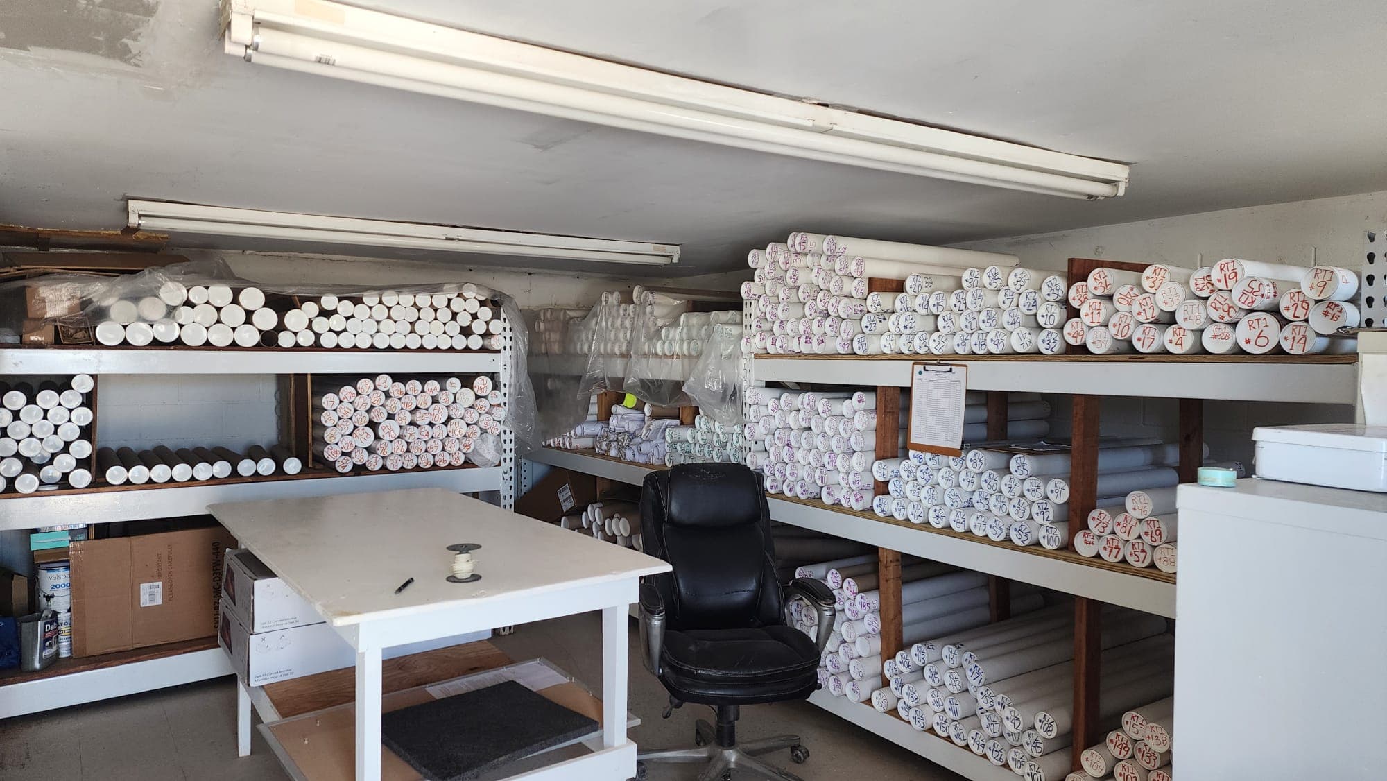
EPWWS also had a plethora of construction plans, project records, and as-builts. Garcia began combing through these to identify information that was still useful and to further influence the data-collection strategy. It was also during these early transitional GIS days, and perfect timing, that management added a third GIS resource, who became a main character in identifying the most reliable as-builts and purging useless plans. This short but greatly valuable role in refining the GIS, enabled the whole organization to have access to a digital collection and log of the record drawings.
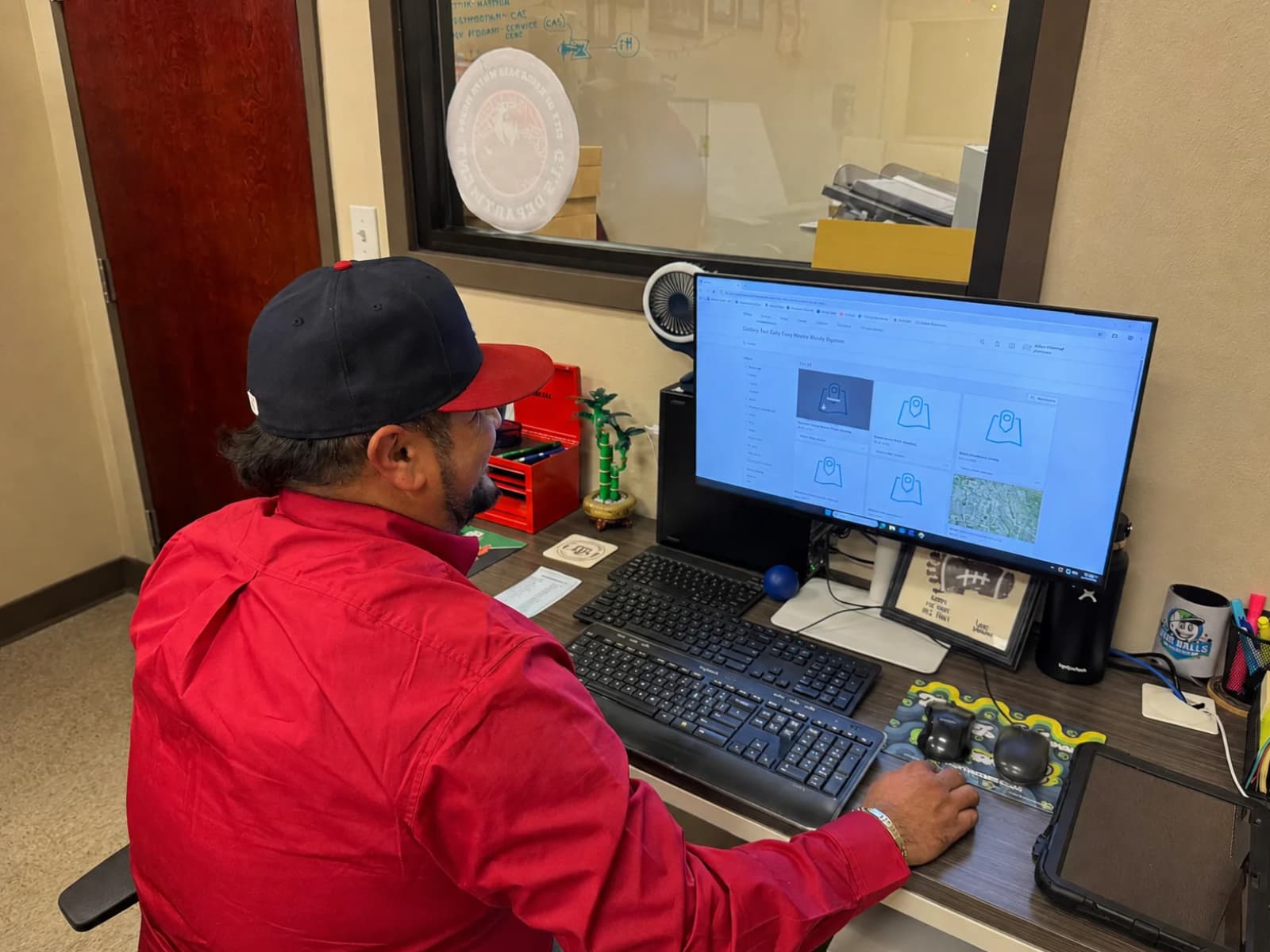
Around this time, EPWWS’ GIS provider, Esri, had just released ArcGIS® Pro, which would replace the legacy desktop ArcGIS software the utility was using. Garcia saw this as an opportunity to start fresh by learning ArcGIS Pro. She communicated from time to time with local Esri Account Manager Jay Hoffman, who encouraged her to connect to a local GIS services provider and Esri partner, Texian Geospatial, for training.
The Turning Point
The turning point came in 2022, when Garcia collaborated in the Annual Water & Wastewater Regional Conference, hosted at home by EPWWS. There, she connected with Texian Geospatial Principal Consultant David Pritchard, who offered Garcia data-collection training in nearby San Marcos, Texas.
“When David performed a demonstration about real-time data collection, it blew my mind!” Garcia said. “This painted a real picture of what direction to take and what the system needed to achieve.”
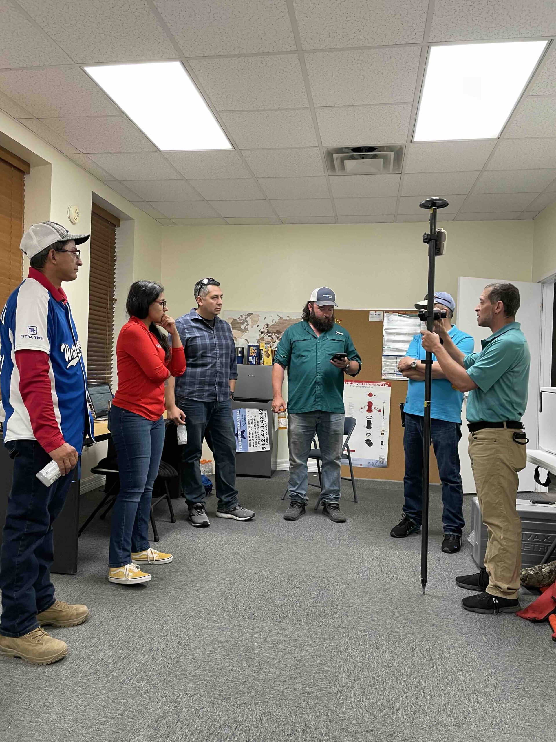
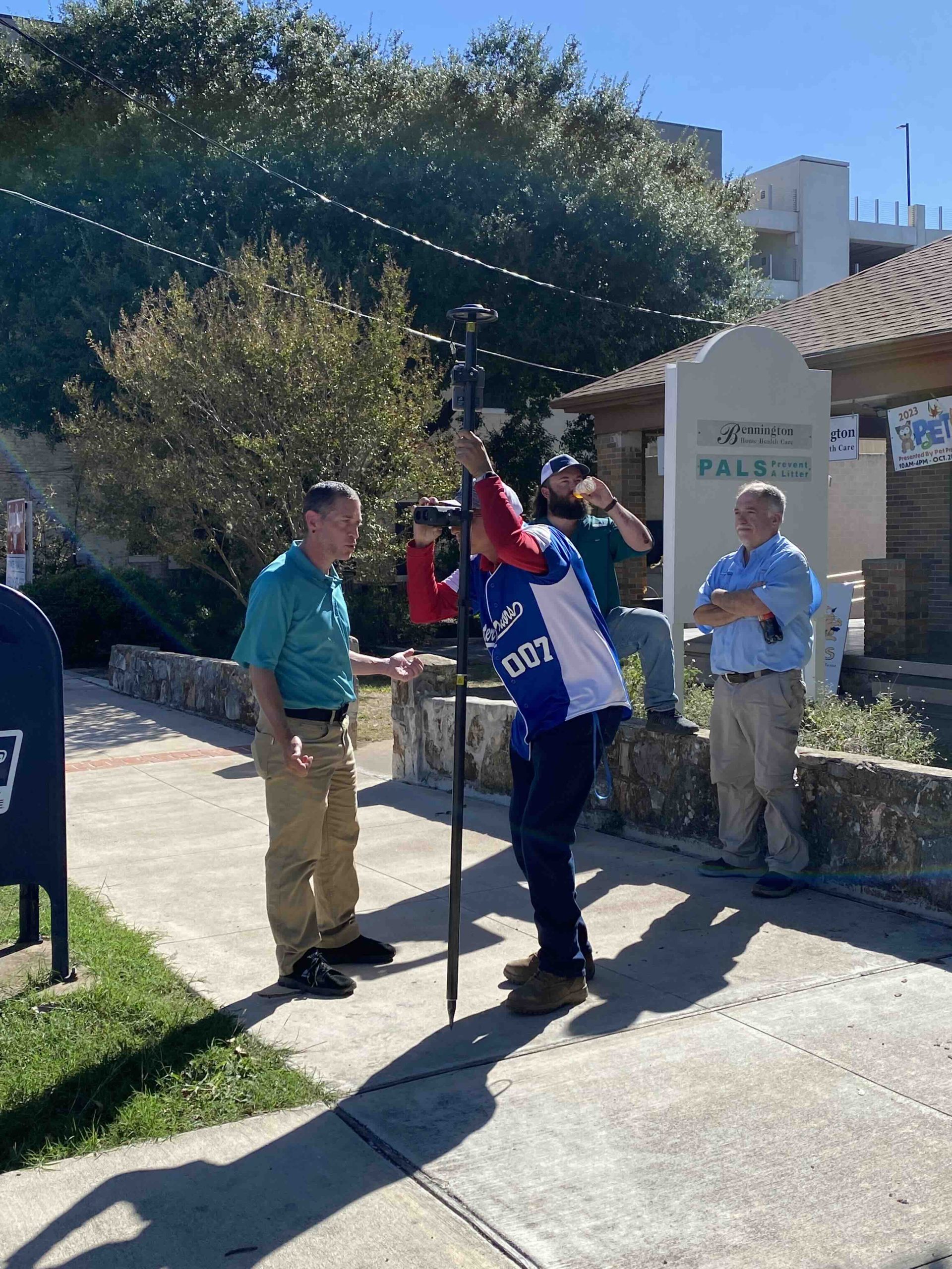
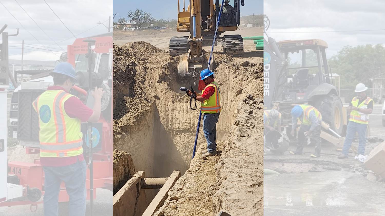
The technology Pritchard showed Garcia was far beyond the dots and Xs of the past. By using an Arrow Gold® GNSS receiver connected to a local RTK station, Pritchard could stream survey-grade locations directly into a mobile device running ArcGIS Field Maps. ArcGIS Field Maps, in turn, captured not only the location data, but also any additional attributes about an asset that the system required — directly into an ArcGIS web map in real time and, ultimately, into ArcGIS Pro.
By this time, EPWWS’s management saw a greater need for and further benefits of expanding the GIS efforts. This led EPWWS to hire two new GIS technicians, Armando De La Garza and Luis Avila, who became pioneers in collecting assets in a real real-time system.
De La Garza transferred from the Water Distribution Department, bringing with him almost 11 years of experience. Avila was new to the system, yet his previous experience in utility work and advanced computer systems made him a great addition to the team. The GIS technicians initially began using the utility’s legacy handheld device. Not long after, however, the GIS team received the full support of leadership to invest in their first Arrow Gold GNSS receiver.
“As opposed to what we had been using with the dots and Xs on a black-and-white screen, now we could see a map at an early stage through ArcGIS Field Maps integrated with the Eos devices and application,” Garcia said. “The GIS technicians could understand and get a clearer picture of our assets as early as during field collection.”
Garcia envisioned endless use cases.
“Now, a field technician who didn’t remember if they had captured an asset before could see if they had it on the map already, thereby eliminating duplicate work or forgetting to collect missing assets,” Garcia said. “This is when we started making a difference.”
The GIS team began testing data collection back home in Eagle Pass to make sure it worked as it had during the training.
“It was so easy,” Garcia said. “We were like kids, grabbing an iPad® for the first time and using it effortlessly.”
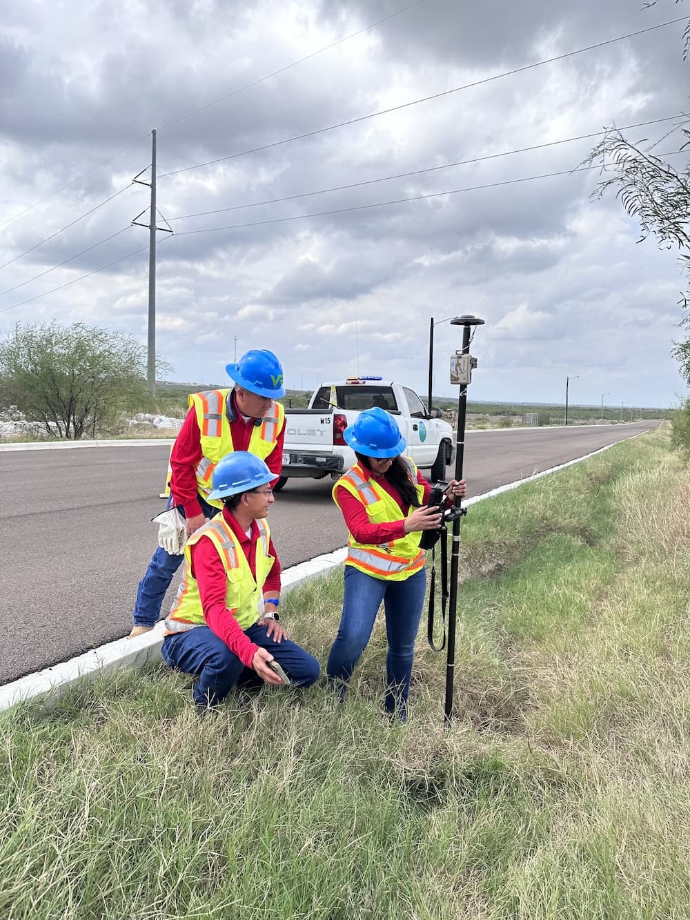
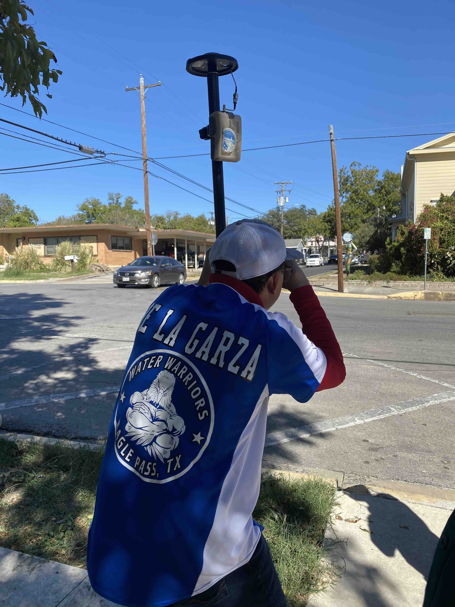
She also appreciated the managerial support they received, which allowed the now four-person GIS team the opportunities to improve with both human resources and equipment.
“Without their support, it would have been a long and rocky road.” Garcia said. “Propelled by the support and guidance of our managers, we were able to purchase our first Arrow Gold on April 28, 2022, and began our real-time data collection. From there on, we haven’t stopped.”
The GIS team connected the Arrow Gold to EPWWS’ local RTK network and streamed these to iPads, which then acquired an average accuracy of .3 to .5 inches during field work. Thanks to ArcGIS Field Maps, GIS technicians could work completely within an intuitive mapping interface to seamlessly collect data and navigate back to previously captured assets.
The Results
By late 2025, EPWWS GIS technicians had mapped around half of the utility’s water and wastewater assets. On October 1 of that year, the GIS Department was officially founded, and Garcia was promoted to GIS supervisor.
The GIS Department held meetings with water and wastewater colleagues to train them on how to view, interact with, and request more information for the GIS web maps.
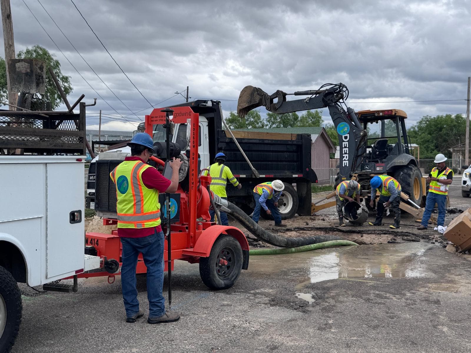
“Now, we take every opportunity there is to collect data,” Garcia said. “Whenever the water distribution or wastewater collections departments identify missing information in the map or expose a mainline, they reach out to us, and we go to the field and collect it.”
Firsthand Feedback
GIS Technician Julian Villarreal, who transferred to the GIS Department from the Meter Department in November 2025, said he previously used the EPWWS GIS map whenever he couldn’t find a meter.
“Sometimes a meter could be in weird places,” Villarreal said. “Now, we can find an asset on our company iPads immediately, even if it’s been covered with dirt, debris, or even paved over.”
The GIS Department also provides ArcGIS Dashboards to management. This lets leadership monitor progress in the field from the office.
“They can see and track our progress,” Garcia said.
Contractors, city and county planning departments, and developers for new subdivisions and commercial projects are all requesting specific data from the utility. The GIS Department is now able to retrieve utility layouts at a swifter pace and share these with external stakeholders for informational and decision-making purposes for upcoming developments.
“They can send us an email or give us a call, and we provide the information to them,” Garcia said. “We try to respond to everything in three days or less. It used to be a challenge to meet this timeframe, but real-time data collection has allowed us to meet this demand and even beat it.”
There’s a vision to share GIS information with the public, too, once the entire asset inventory is completed.
Upgrading to Skadi GNSS
“Depth is no impediment now, since the Skadi Smart Handle’s integrated laser allows our personnel to use the extensible mode to collect these assets without the need to walk down into the trenches.”— Wendy Garcia, GIS Supervisor, Eagle Pass Water Works System
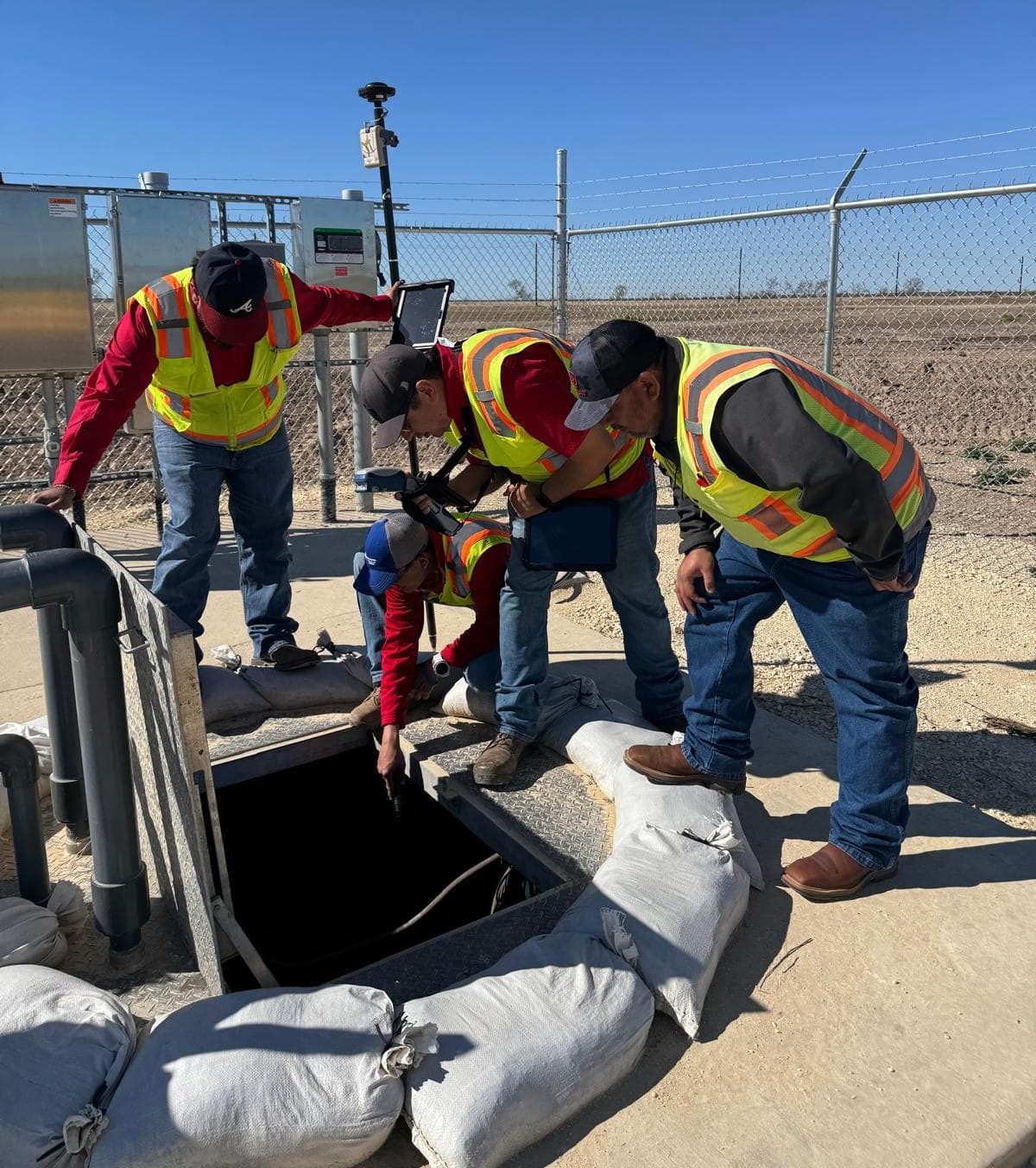
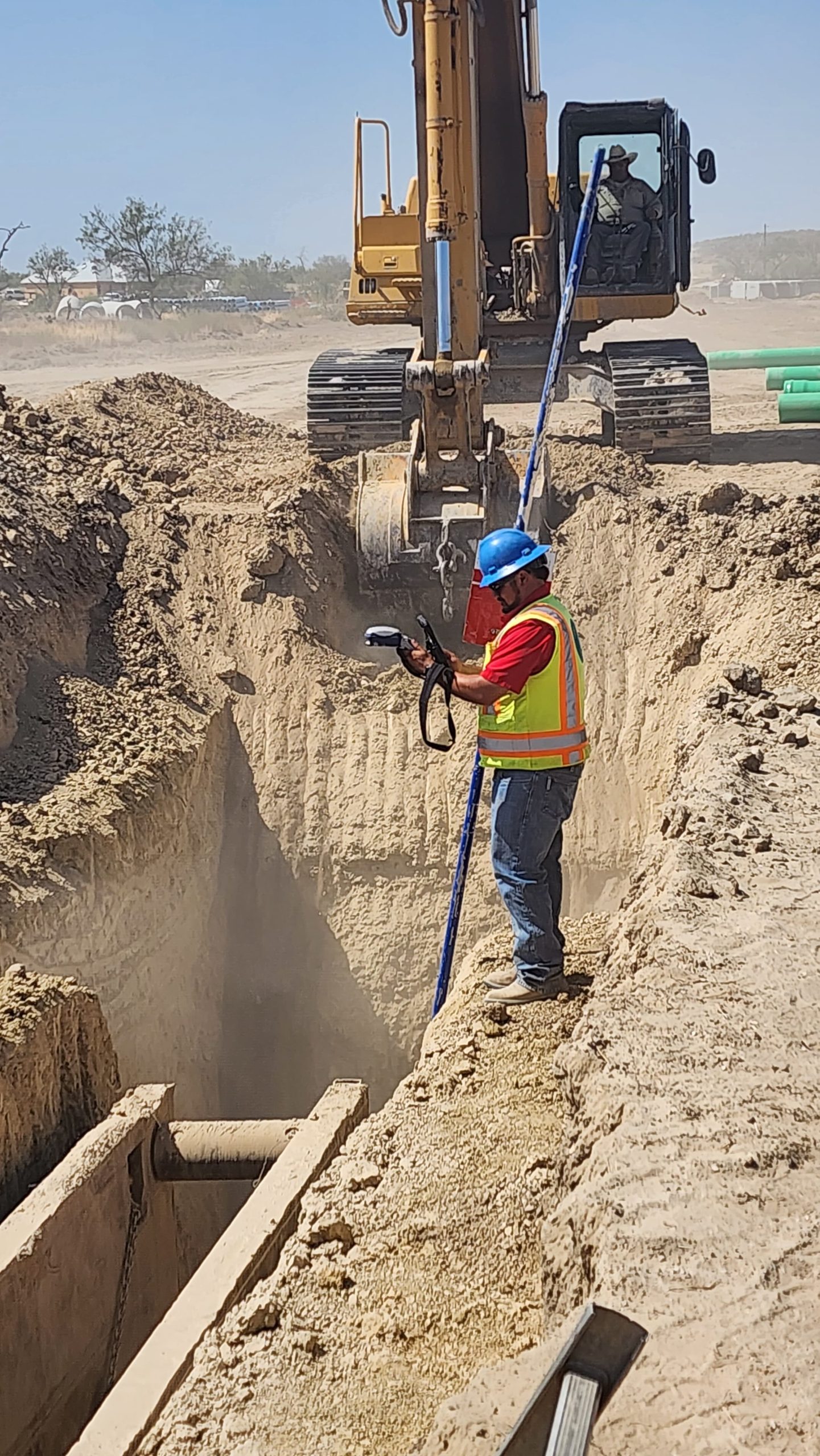
To further streamline data collection, EPWWS has recently invested in a Skadi 300™ GNSS receiver and Skadi Smart Handle™, both from Eos Positioning Systems. Internally, the Skadi 300 is similar to the Arrow Gold, but when combined with the smart handle, it’s takes advantage of built-in sensors to enable even safer and more efficient data-collection capabilities. In some cases, that means GPS-ing a newly installed asset in a trench without climbing down into it.
“The Skadi Smart Handle has been a great addition to our survey-grade GNSS receiver equipment,” Garcia said. “New developments require us to collect assets that lie in over four-foot-deep trenches. This was sometimes impossible, as the safety of our technicians is our number-one priority. Luckily, this issue was addressed when we received the Skadi. Depth is no impediment now, since the integrated laser allows our personnel to use the extensible mode to collect these assets without the need to walk down into the trenches.”
Looking Ahead
“Everything we are doing right now will have an impact on the future. Tomorrow is our goal. This is our legacy.”— Wendy Garcia, GIS Supervisor, Eagle Pass Water Works System
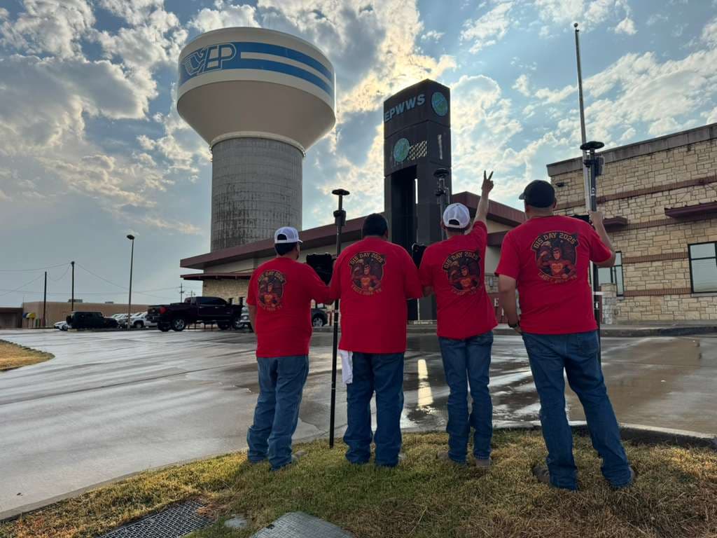
Garcia credits EPWWS’ GIS transformation during the past five years to the attitude and support of management as well as the discipline and motivation of the knowledgeable and talented personnel.
“I couldn’t have done it myself,” Garcia said. “Everyone has been very helpful in sharing their knowledge and experience. Our current EPWWS GIS map has been built with a combination of the past and present efforts of all our organizational staff. All of our operations departments have pieced it together — and will continue to improve it.”
The EPWWS GIS Department has already grown to four members, including GIS Supervisor Wendy Garcia and GIS Technicians Luis Avila, Armando De La Garza, and Julian Villarreal.
Everything the team does today is with an eye for building the future.
“I am so blessed to have an amazing GIS team, always ready and zealous to continue building our map,” Garcia said. “I’m always reminding them that everything we are doing right now will have an impact on the future. Tomorrow is our goal. This is our legacy.”
Explore Related Content
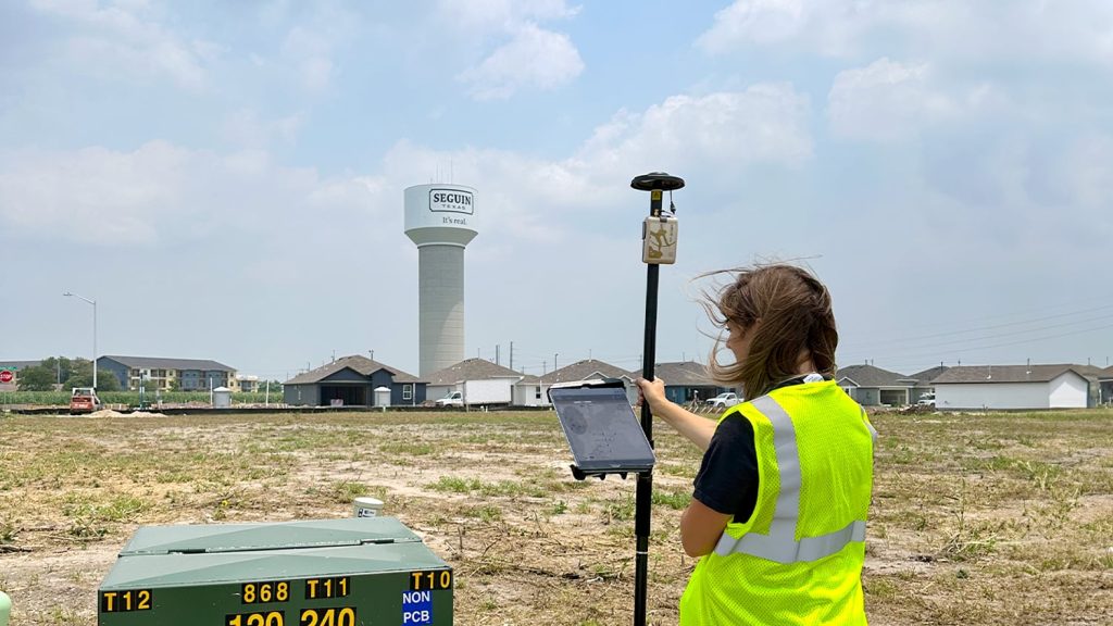
Small City, Big Initiatives: City of Seguin Improves Water and Electric Asset Management with GPS and GIS
To meet increasing services demand, Seguin is mapping water, sewer, and electric assets with survey-grade accuracy. This helps avoid construction incidents during development and streamlines future asset management.

From “Hard to Find” to “Hard to Miss”: How the City of Oak Hill Mapped Over 630 Manholes in Rural West Virginia While Rehabbing Them for the Future
How Oak Hill, WV, used high‑accuracy GNSS and ArcGIS Field Maps to map 630+ rural manholes — in the process, replacing unreliable legacy data with precise, standardized GIS.