In October 2018, Ohio began requiring public water utilities to maintain a detailed asset management system. One nonprofit is simplifying compliance for rural utilities.
The Organization: Great Lakes Rural Community Assistance Program (RCAP)
Nearly 50 years ago, the national Rural Community Assistance Program (RCAP) started as a local project in Roanoke, Virginia. Since then, the nonprofit has expanded through local chapters that cover all 50 states and Puerto Rico.
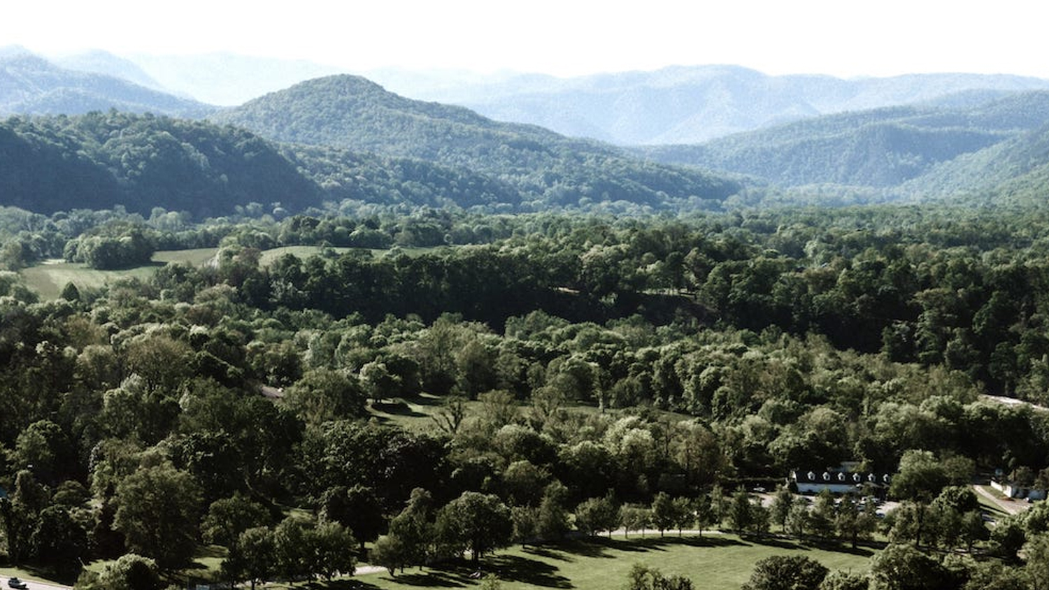
The Ohio-based Great Lakes RCAP Great Lakes RCAP chapter serves seven states (KY, IL, IN, MI, OH, WI, WV). This includes providing project development and ongoing technical and managerial assistance to small utilities. In several of these states, it also includes Esri ArcGIS services.
“A lot of these smaller communities and utilities wouldn’t be able to afford a GIS person,” GIS Analyst Laura Schuch said. “So we give them access to a GIS team. We’re like a consultancy, but we’re a nonprofit.”

Schuch is part of the organization’s six-person GIS team, which ten years ago created its own GIS cooperative. This allows their chapter to pass on greater cost savings to customers through grant funding. Today, Great Lakes RCAP offers asset-management GIS services for water, electric, sanitary, storm, environmental, and other verticals.
“Basically, we help our customers locate anything that might need to be inventoried,” Schuch said. “If they were to hire a small consulting firm, it would be a lot more expensive.”
The Challenge: Ohio EPA Requires Detailed Asset Management Inventory
“A lot of our co-op communities invest in a GPS data collection system themselves and want to add data later on.”
— Laura Schuch, GIS Analyst, Great Lakes RCAP
In October 2018, Ohio Senate Bill 2 mandated that all Ohio public water systems maintain a detailed asset management system. Meanwhile, the demand for GIS services had already been increasing in the area.
“A lot of our customers had already realized the value of documenting their assets for preventative maintenance,” Schuch said.
With increasing demand for asset management systems, Great Lakes RCAP looked for improvements to its legacy field-mapping technology. In the past, they had used handheld devices that required manually exporting field data into an Esri ArcGIS database. Oftentimes, customers also anticipate the need to add various types of data in the future, such as new constructions or stormwater systems.
“We work with our customers for whatever their initial needs are,” Schuch said. “After we do the initial locate, they learn from us about data capture and take advantage of reduced-cost data maintenance and GIS training.”

With the old workflow, the manual data export to a GIS could take up to a week, depending on demand. So if a customer had captured their own assets, the data entry into the GIS wasn’t immediate.
“It was important that the process be streamlined, because our goal is to empower our customers to manage their assets as much as possible,” Schuch said. “A lot of our co-op communities invest in a GPS data collection system themselves and want to add data later on.”
So Great Lakes RCAP looked for a modern real-time field mapping solution.
The Solution: ArcGIS Collector and Arrow Gold for Asset Management
“There are a lot of hills in southeastern Ohio, so you can’t get to the RTK network because there is no cellular coverage. Atlas® gets a lot of use in the Appalachian territory.”
— Laura Schuch, GIS Analyst, Great Lakes RCAP
The most important factor in Great Lakes RCAP’s new field-mapping solution was its accuracy. They wanted to be able to continue offering customers survey-grade accuracy down to the centimeter.
“That was our first filter in considering all GPS units,” Schuch said.
Second came affordability. As a nonprofit, Great Lakes RCAP doesn’t have a lot of money to spend. Someone on Schuch’s team suggested the Arrow Gold GNSS receiver, a GPS receiver that was both affordable and of survey-grade accuracy. In connected areas, the Arrow Gold could use the Ohio Department of Transportation’s RTK network for centimeter corrections, and in disconnected environments, it could use a paid Atlas® satellite-based differential correction service for an accuracy within a few inches.
“There are a lot of hills in southeastern Ohio, so you can’t get to the RTK network because there is no cellular coverage,” Schuch said. “Atlas® gets a lot of use in the Appalachian territory.”

The final factor GLRCAP’s GIS team team wanted was ease of use. Because a lot of their customers end up purchasing their own GPS receiver later on to map their assets, Great Lakes RCAP wanted a field-mapping solution they could easily train their customers to use themselves.
“It streamlines the process incredibly when they don’t have to wait for us to capture and add the data to the GIS,” Schuch said. “It’s nice for them and nice for us.”
The Workflow: Using Arrow Gold with Esri ArcGIS Collector
“Our customers are the asset experts, and we’re the GIS experts. It’s the pairing of these two minds that creates a solid, useful GIS.”
— Laura Schuch, GIS Analyst, Great Lakes RCAP
The Arrow Gold uses Bluetooth® to connect to Great Lake RCAP’s Samsung Galaxy Tab Active2 devices. The tablets are loaded with Esri ArcGIS Collector, a mobile app that enables real-time data collection through ArcGIS Online and Enterprise Server, a server-based Web GIS.
“Collecting directly in Collector makes it really easy,” Schuch said. “That was something our communities were really interested in.”
Typically, a field technician from Great Lakes RCAP will walk the area being mapped (e.g., a potable water system) along with an Operator from the customer utility. The GIS technician captures the asset locations, with an average accuracy of 1-2 centimeters, with Atlas within 10 centimeters, while the customer ensures all the relevant attributes are captured.

“Our customers are the asset experts, and we’re the GIS experts,” Schuch said. “It’s the pairing of these two minds that creates a solid, useful GIS.”
With the new workflow, manual data entry is completely eliminated, and the customer walks away with a highly accurate GIS that meets state requirements. Great Lakes RCAP usually offers further training to their customers to enable a variety of powerful downstream workflows.
“They come in wanting an inventory, or to satisfy this regulatory compliance,” Schuch said. “But as we are collecting the data, we show them all the things they can do.”
The Results: Cutting-Edge Technology for Rural Utilities
“With the Web GIS, we can provide an incredibly up-to-date look at the assets. The difference between paper drawings and an updated web viewer is as powerful as it comes.”
— Laura Schuch, GIS Analyst, Great Lakes RCAP

Great Lakes RCAP customers have used their data to record historical assets, such as hydrant flushes, and to perform routine work such as valve exercising.
“That’s really important, because Ohio requires this now,” Schuch said.
Some have even used the GIS to strengthen water-main break compliance. They can do so by creating a materials layer in the GIS which simplifies reporting compliance and mitigates risks.
“If a water main break is on a water line with lead in it, you need to record it and report it,” Schuch said.
Routine changes, such as a valve that gets built or paved over by a homeowner or municipal worker, can also be more easily tracked. In the past, smaller utilities struggled to keep their GIS updated with such changes.
“It happens more often than you would think,” Schuch said.

Great Lakes RCAP also frequently creates data viewers that allow external parties to access updated utility data in a safe and controlled way.
“The web viewer is great, because we can provide view-only access,” Schuch said. “So a utility working with an engineering firm has no need to send paper maps or old paper plan sets.”
The data viewers are created with Esri’s Web App Builder – Developer Edition. So far, they have been used to facilitate communication among utilities, local governments, and engineering firms. Project management has improved, thanks to firms being able to access the GIS themselves and view the up-to-date locations of water lines, take measurements, and even use their own engineering data integrated with the GIS.
“With the Web GIS, we can provide an incredibly up-to-date look at the assets,” Schuch said. “The difference between paper drawings and an updated web viewer is as powerful as it comes.”
Download a PDF of this article in ENGLISH.
You May Also Like One of These Success Stories

Vermont Gas Systems Doubles Efficiency with Arrow Gold® Receivers and iPad®s
Vermont Gas Systems doubled their efficiency by switching to Arrow Gold® GNSS receivers and ArcGIS mobile apps for as-built mapping.

Mapping a Rural Texas Water System with High Accuracy
Rockett SUD streamlined field work and freed up office staff with a new rural water GNSS mapping solution that combines hardware and software from Eos and Esri.
