How Lee County Electric Cooperative strengthened resilience and improved operational efficiency by upgrading location accuracy
Lee County Electric Cooperative (LCEC) has long embraced technology to support its rapid growth and commitment to member value. Established in 1940 as a not-for-profit distribution cooperative, LCEC is celebrating 85+ years of top-tier service. Not only have they been certified as a Center of Excellence Customer Service Center, but they were also voted as a Best Place to Work for Employees over 50 by AARP.
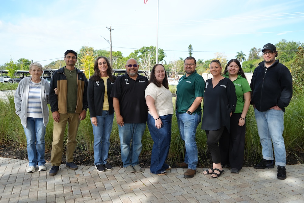
Today, their nine-person System Graphics team plays a pivotal role in ensuring the cooperative’s infrastructure is mapped accurately, efficiently, and in a way that directly supports restoration, planning, and daily field operations.
A Growing Cooperative with Complex Demands
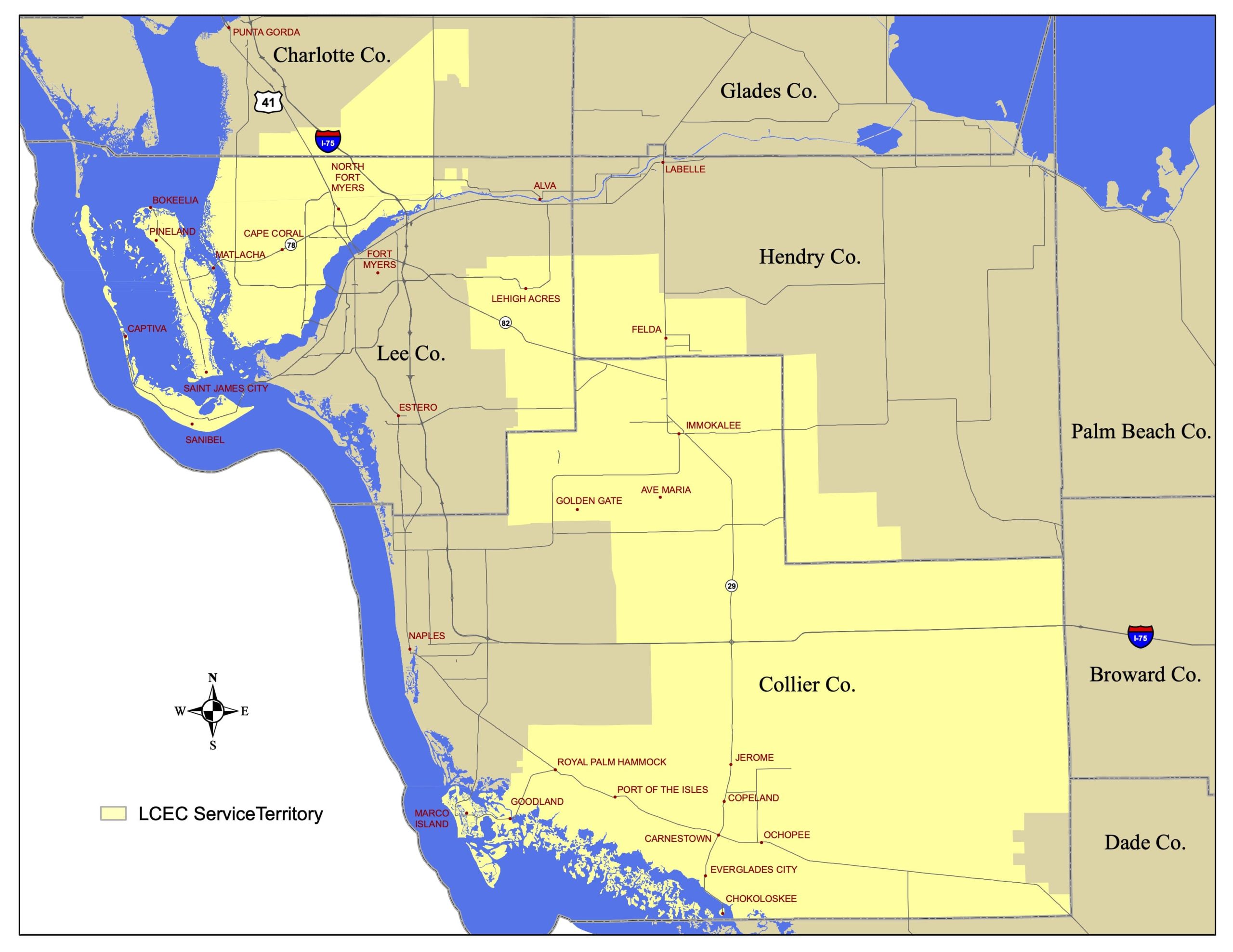
Serving more than 268,000 members across six counties, LCEC manages a continually expanding network of poles, transformers, meters, and enclosures. With Southwest Florida experiencing steady development and ongoing risks from hurricanes, flooding, windstorms, and tornadoes, the need for highly accurate, easily accessible location data has never been greater.
Within Engineering and Operations, Supervisor Leah Maldonado leads the System Graphics team, which handles GIS, CAD, mapping, large-format printing, and more. Since adopting the NISC Enterprise System in 2018, the team has enjoyed a seamless flow of data between mapping, staking, finance, member services, field operations, and other downstream workflows. NISC Enterprise is a suite of software solutions developed for utility organizations by the National Information Solutions Cooperative (NISC). It provides integrated systems for GIS (built with Esri’s ArcGIS®), billing, operations, and much more.
It also has a mobile app that may be used for mapping and staking.
The Objective: Why LCEC Needed Better Accuracy
Before upgrading, LCEC’s legacy GPS equipment delivered approximately 22–24 inches of horizontal accuracy and no elevation, which became a growing limitation. When poles or equipment were damaged or missing after storms, the team needed more precise coordinates to guide safe and efficient restoration work.
Elevations were equally critical. Understanding exactly how high water had risen during water infiltration helps determine which equipment, such as pad-mounted transformers, might have been compromised.
Finding the Right GNSS Solution
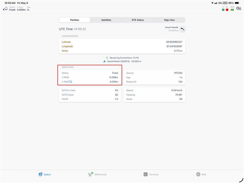
In the summer of 2025, during an Esri conference, the LCEC team discovered Eos Positioning Systems® GNSS receivers. Their compatibility with the NISC mobile app, real-time 3D coordinates, and support from the free Florida Department of Transportation (FDOT) RTK network made them stand out.
“The system integrates seamlessly across the entire organization,” Maldonado said. “We want to improve our location accuracy. Under normal conditions, it’s usually possible to tell where a pole was, but after a major disaster, it may be completely gone. Having accurate elevation data is a major advantage, especially for assessing flood impacts. Once we connected to RTK during the demo, the accuracy of the GPS receiver in the mobile app was immediately apparent.”
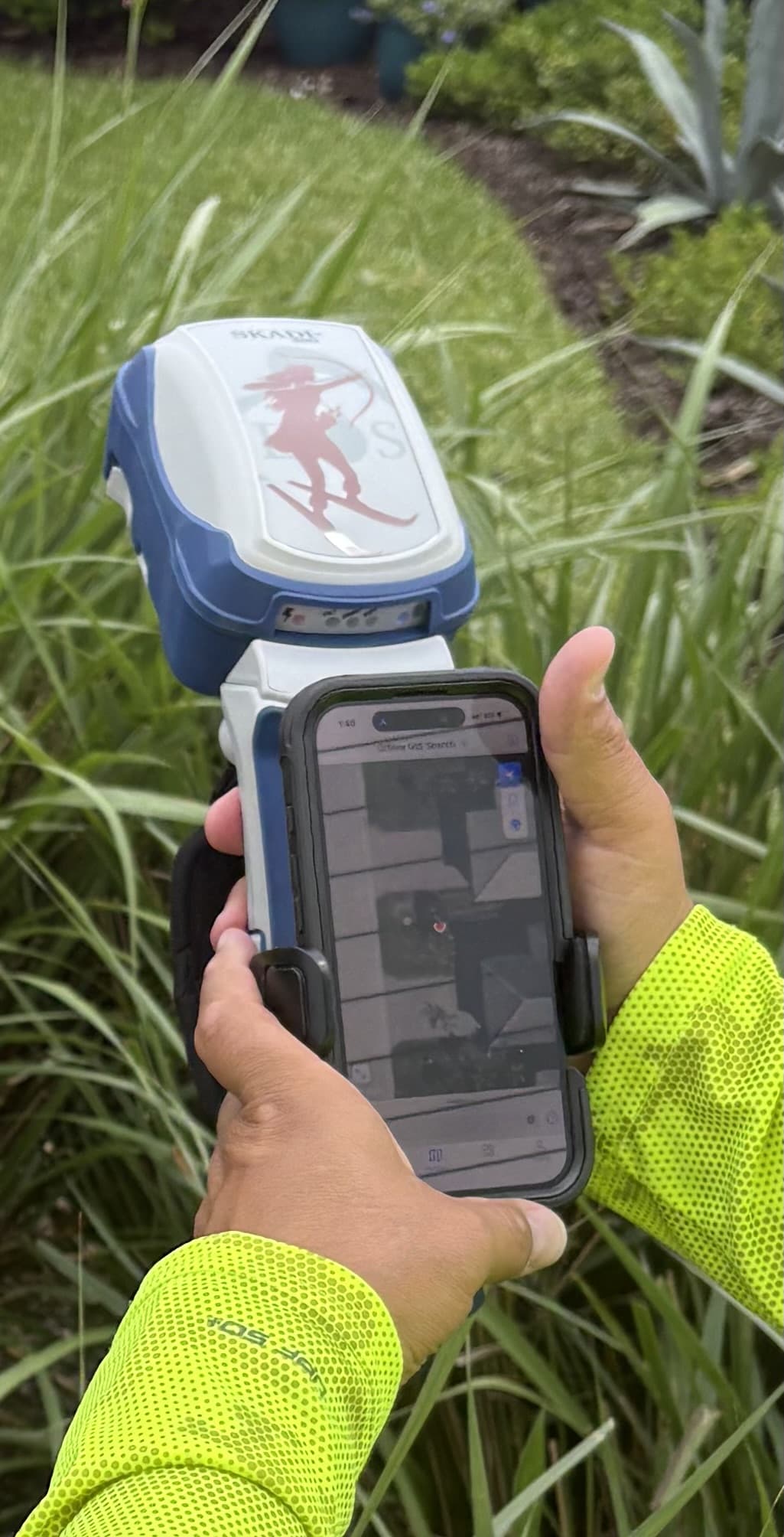
After acquiring a Skadi 300™ RTK receiver, GIS Specialist Gus Otero set up the hardware and mobile workflow in the NISC app, which they use for mapping and staking.
The integrated handle design immediately improved field ergonomics, replacing their previous range-pole setup.
A Game-Changer: The Skadi Smart Handle™
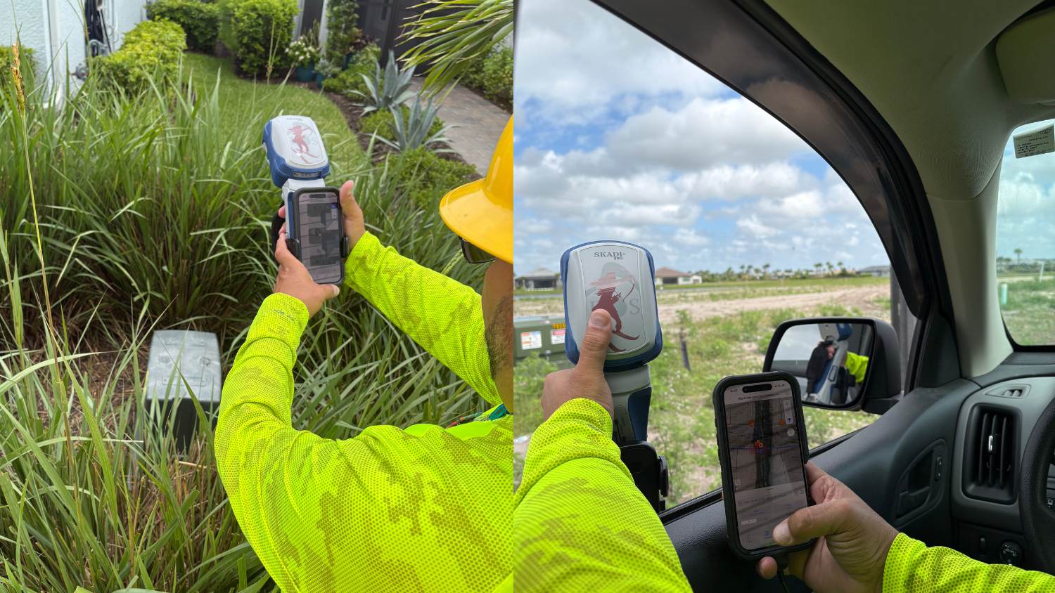
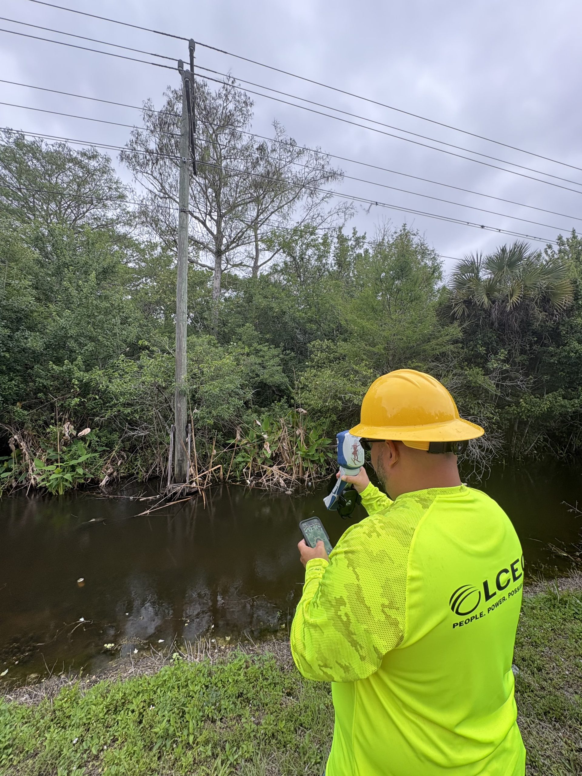
The team soon added the Skadi Smart Handle™, a LiDAR-powered accessory that allows highly accurate point capture from tens of feet away. This became ideal for assets located across canals, behind obstacles, or required lots of walking to get to. Otero connected with Eos Customer Support Technician Joe Klees to confirm best practices for using the smart handle with the NISC app, and then he was up and running.
“The receiver worked seamlessly with the NISC mobile app,” Otero said. “Compared to other products, the handle design stood out. The Skadi makes our work much easier because we can hold both the equipment and the iPad® in one hand. I figured out how to use the Skadi Smart Handle while working, but I wanted to be sure I could repeat the process correctly. After working with Joe to confirm the steps, it’s become one of my favorite tools.”
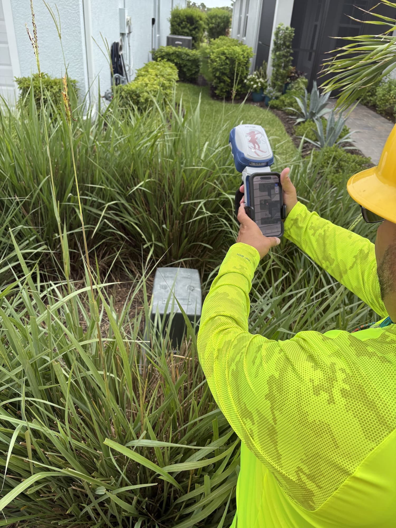
Efficiency That Scales with Growth
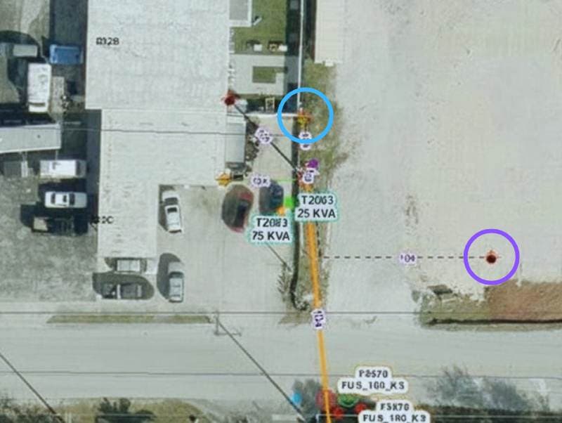
LCEC has added roughly 10,000 members per year for the past two years. Each new asset must be accurately mapped, and the smart handle has drastically reduced the amount of walking required. A single installation could have a couple hundred locations to GPS.
By pointing and capturing from an open truck window or stepping briefly out of the vehicle, the team can now map equipment more efficiently.
“We use it whenever possible to speed up the mapping process,” Otero said.
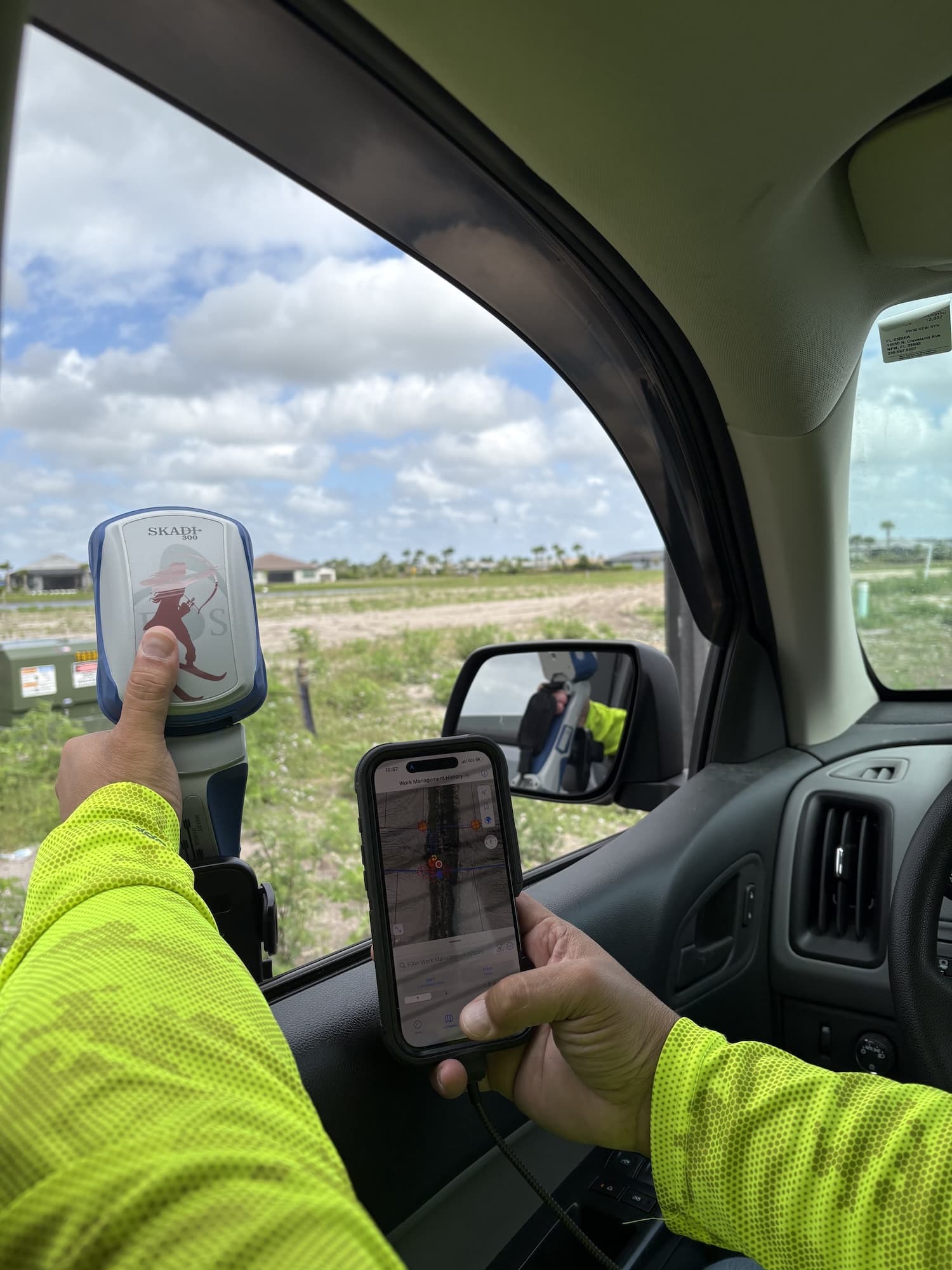
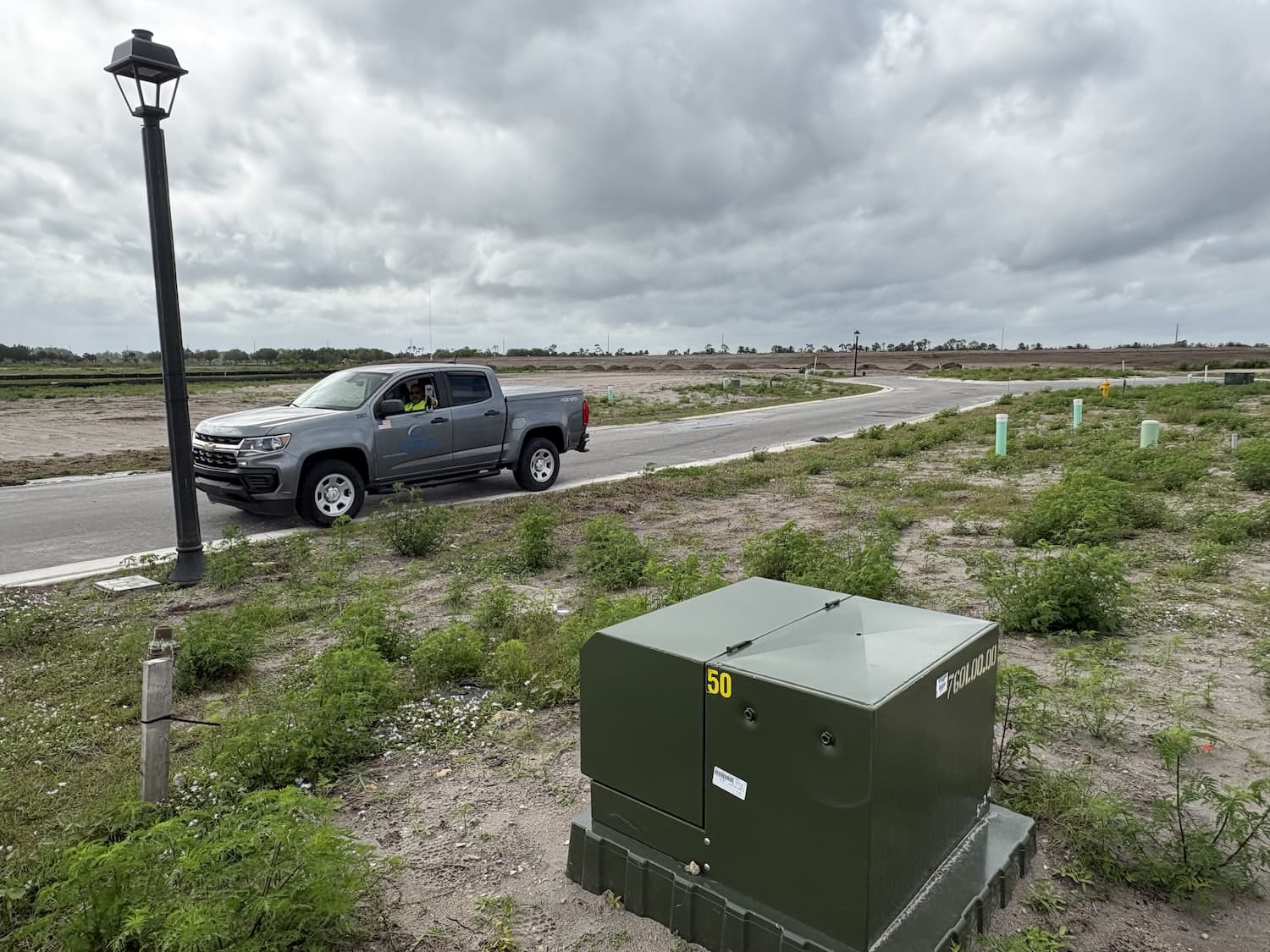
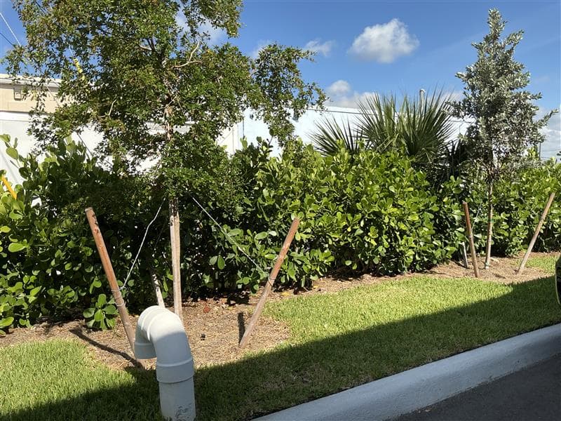
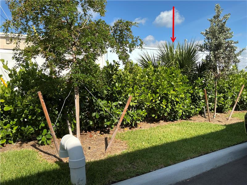
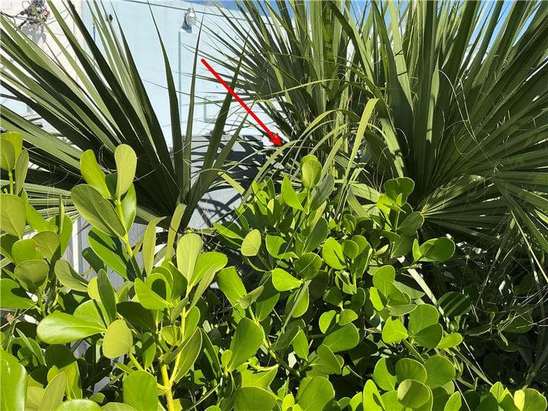
The improved workflow has also made tough-to-locate meters, pedestals, and hidden infrastructure easier to map. With clearer spatial accuracy, designers and field staff can locate assets faster—especially important during outages or after major weather events.
The GIS team has also begun updating the locations of equipment in older neighborhoods that are challenging to find or when a designer requests it.
“We’re continuing to grow, with significant additions to community infrastructure,” Maldonado said. “The ability to point, capture, and keep moving makes collecting accurate locations much easier. Because demand is constant, we use slower periods — or designer requests — as opportunities to revisit older neighborhoods and improve their location accuracy.”
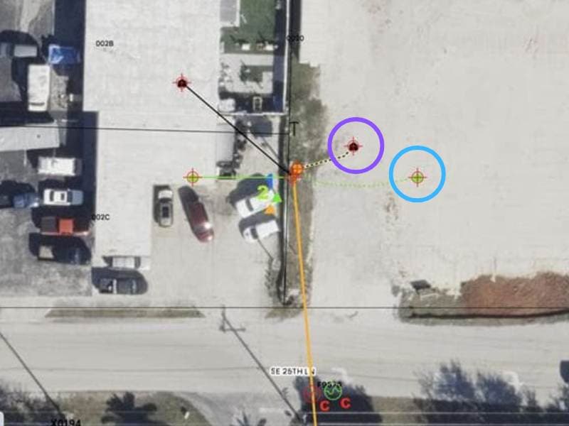
Member Value at the Core
The combination of accuracy, ease of use, and personalized customer support ensures LCEC can continue delivering reliable service as their territory grows.
“Initially, we just needed a solution that worked with the NISC app, but this has proven to be far easier and more useful than other GPS units I’ve used,” Otero said.
As a not-for-profit cooperative, LCEC prioritizes community service. The improved GNSS workflow directly contributes to faster restoration, more accurate damage assessment, and better data for long-term planning.
“We place a strong focus on serving our community and ensuring everything we do adds value for our members,” Maldonado said. “With this improved workflow, we save time collecting GPS data, help our linemen return to their work faster, locate assets more easily during restoration or damage claims, and restore power more quickly. That’s true member value‑add.”
“We place a strong focus on serving our community and ensuring everything we do adds value for our members. With this improved workflow, we save time collecting GPS data, help our linemen return to their work faster, locate assets more easily during restoration or damage claims, and restore power more quickly. That’s true member value‑add.”
— Leah Maldonado, Supervisor, System Graphics Team, LCEC
Explore Related Content

Customer Spotlight: David Johnson Powers Electric Utility Precision with Skadi GNSS Receivers
David Johnson streamlines electric utility operations in southeastern Arizona with help from Skadi Tilt Compensation, the Skadi Smart Handle, and Eos GNSS receivers.

Coopeguanacaste’s Digital Transformation: ArcGIS and Eos GNSS in Electric Asset Management at Costa Rica Utility
One Costa Rica electric utility transformed their distribution with ArcGIS and Eos GNSS. The cooperative’s 90,000+ members now benefit from precise asset management and modernized workflows.