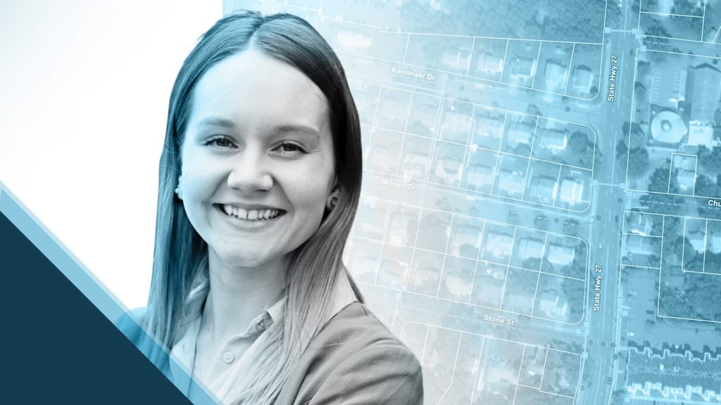
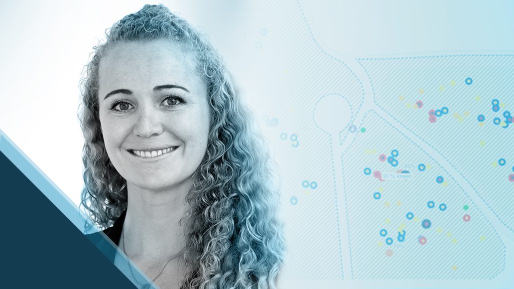
With March being Women’s History Month and International Women’s Day on March 8th, Eos wanted to honor some of the amazing women who use Eos Arrow every day in their careers. What better way than to hear from the women themselves? Each Tuesday in March, we spotlighted one on our social channels to highlight their contributions to the GNSS industry. Scroll down to learn about these five amazing women! (Did you miss it? Be sure to follow us on Twitter, Facebook and LinkedIn so you can see future posts!)
Theresa Chavez: Dedicated to Dependability
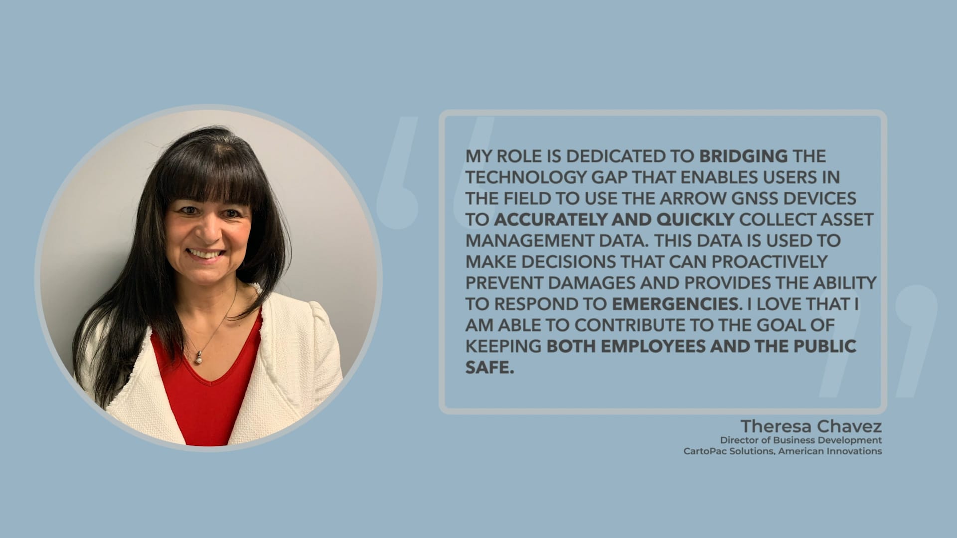
Theresa Chavez, Director of Business at Cartopac Solutions and American Innovations, is dedicated to dependability. In her role, Theresa helps bridge the technology gap many clients face by enabling them to collect asset management data (using Eos Arrow, of course)! This data helps increase safety for both employees and the public. Theresa’s unending dedication to maximize efficiency and reducing risk gives coworkers and clients peace of mind.
Christa Campbell: GIS Ambassador to Water Utilities
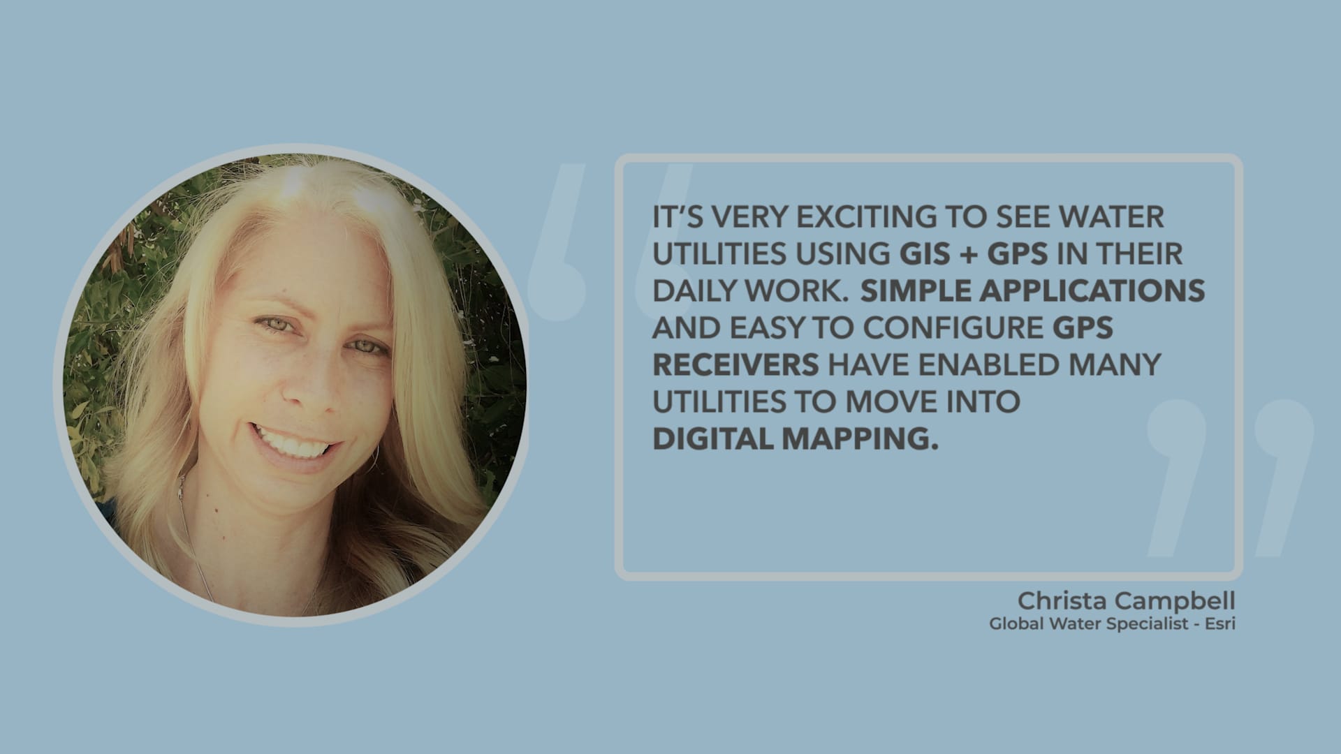
Christa Campbell, a Global Water Specialist at Esri, is a passionate GIS user helping water utilities answer all their questions about getting started on (or further adopting) GIS. Christa has a real, proven passion for using GIS to improve utilities’ workflows. Through conferences, webinars, and in-person connections, she has helped countless water utilities streamline their workflows. Her unwavering willingness to help anyone out when they have a question makes her a true GIS ambassador!
Slaton McCauley: Administrator of Improvement
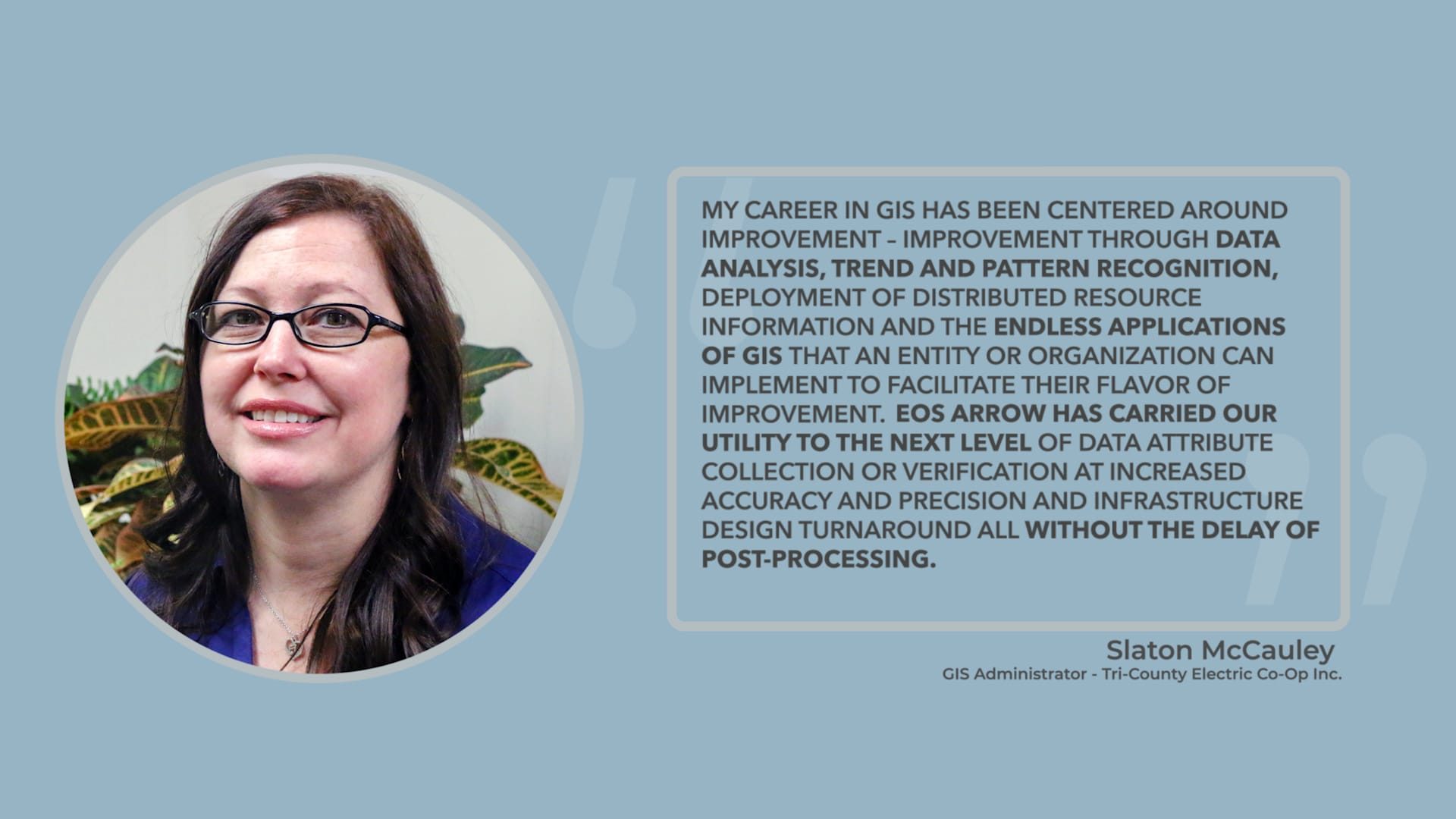
Slaton McCauley, GIS Administrator at Tri-County Electric Coop, is passionate about improvement. She is constantly thinking through the endless ways organizations can advance their use of GIS! Using Eos Arrow, Slaton has helped utilities improve location accuracy while cutting down on time spent collecting that data in the field. Slaton delves into data analysis, subsequent recognition of trends and patterns, and the deployment of distributed-resource information to help organizations yield the best possible results.
Theresa Maier: Guru of Geo-Data
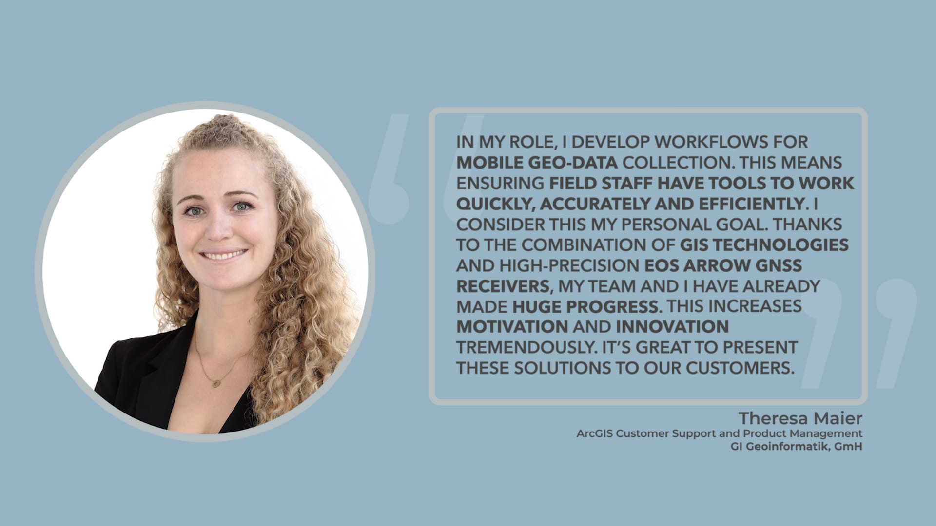
Theresa Maier works in ArcGIS Customer Support and Product Management at GI Geoinformatik. She uses Eos Arrow in her workflow optimization for mobile geo-data collection. Theresa’s knowledgeable presentation on water utility workflows at the 2020 Esri Konferenz was one of our highlights of the conference! She focuses on accuracy, speed, and efficiency in each and every workflow to help increase motivation among her team.
Elisabetta DeGironimo: Expert in Emergency Preparedness
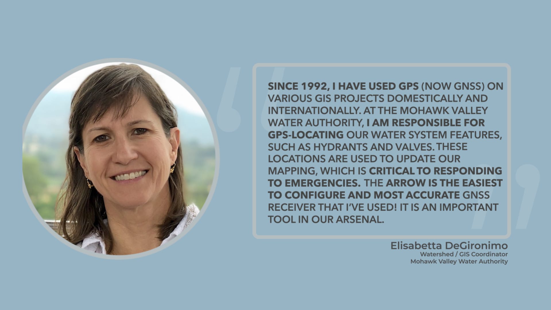
Elisabetta DeGironimo, GIS Coordinator at Mohawk Valley Water Authority, has been working in GPS (now GNSS) since 1992. Elisabetta uses the Arrow 200 unit to collect elevations and to locate hydrants, valves, and large transmission mains. These locations are used to update maps that are critical to emergency responses. As an example, in the 2017 aftermath of Winter Storm Stella, the National Guard was dispatched to dig out hydrants. Mohawk Valley Water used their hydrant data to create an app for the Guard to locate and communicate if hydrants had been found and dug out!

