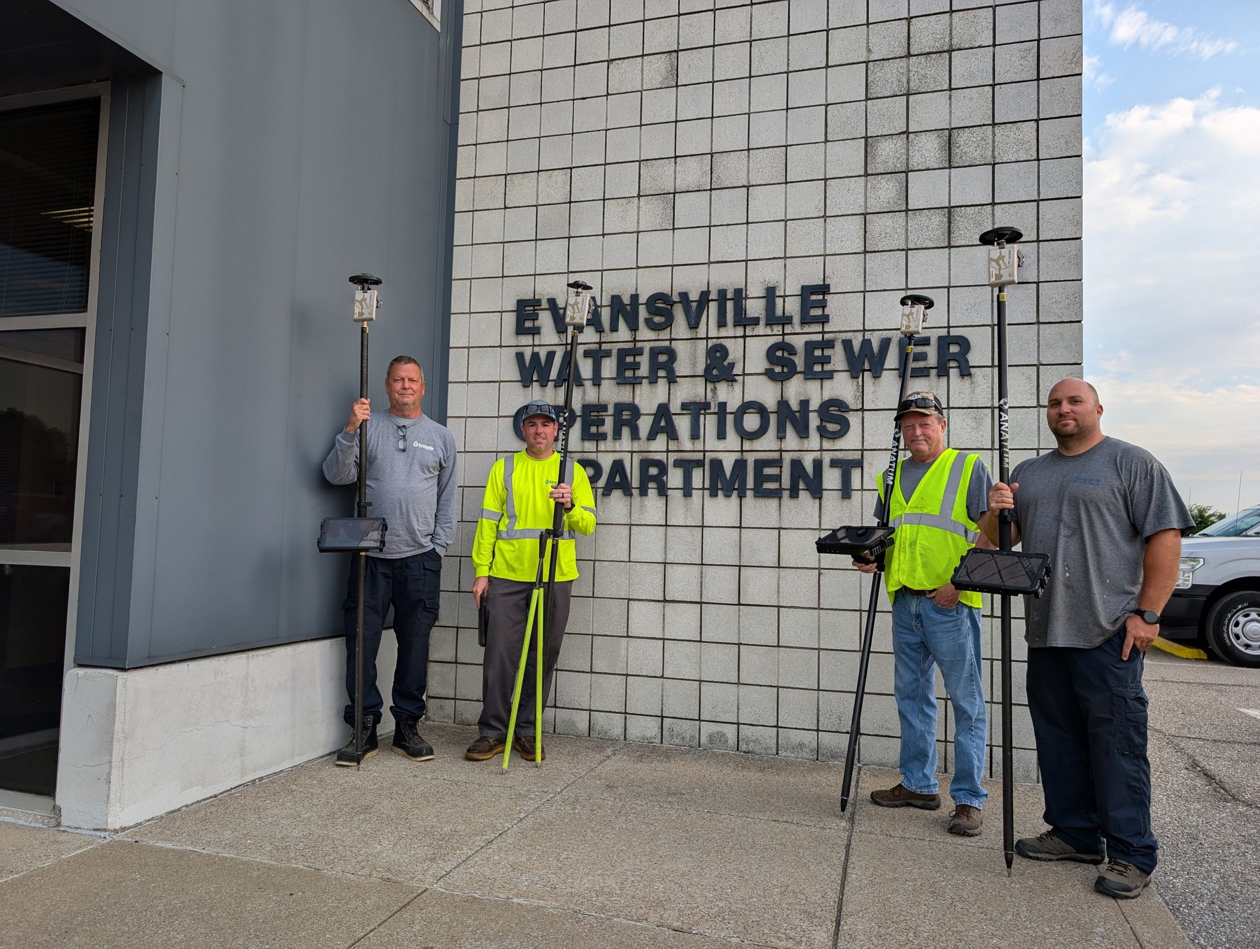
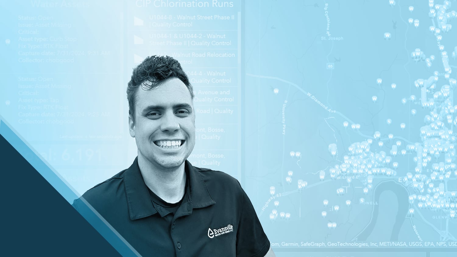
As the Geospatial Information Systems (GIS) Technician at Evansville Water and Sewer Utility (EWSU), Aaron Krohn is passionate about empowering his coworkers with the benefits of geospatial technology. When the utility decided to migrate to the ArcGIS® Utility Network, those benefits became crucial.
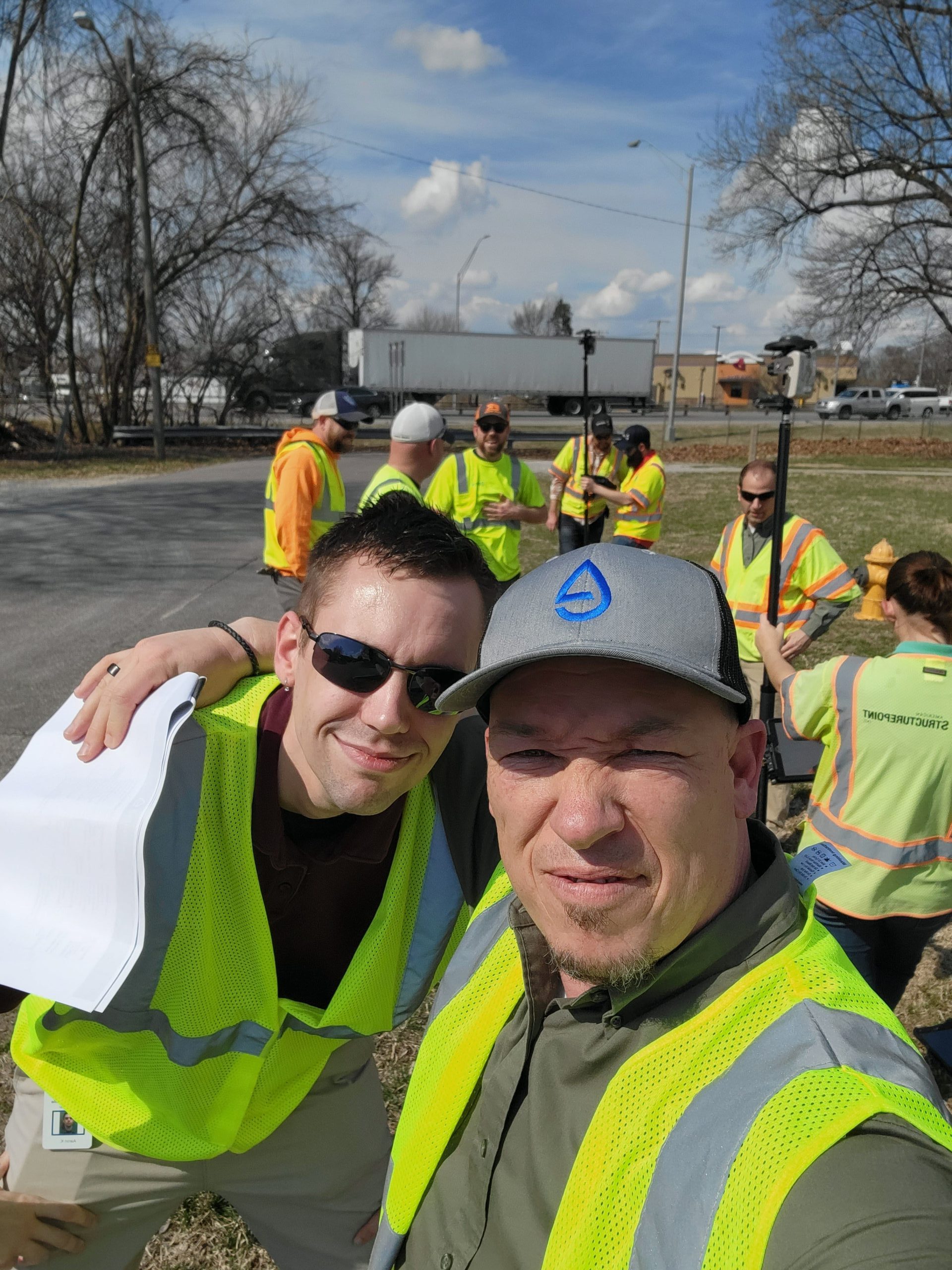
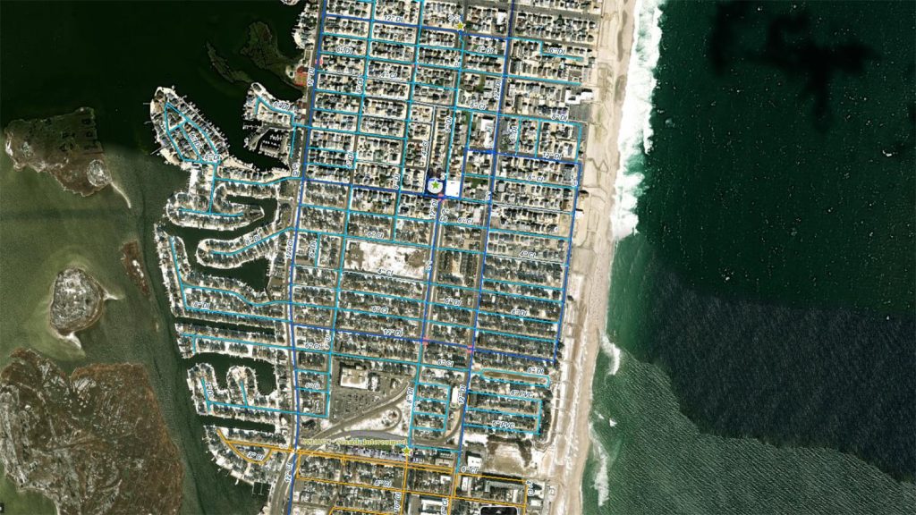
Confronted with the daunting task of resolving over 20,000 connectivity errors in the migration, Aaron tackled the challenge head-on by using a mix of data validation and manual corrections to resolve each error. To prevent future errors and set his team up for success, Aaron also recognized the need for a real-time mapping solution. Aaron teamed up with his colleague EWSU GIS Manager Ryan Key to implement a mobile data collection workflow using Arrow 100® and Arrow Gold® GNSS receivers integrated with ArcGIS Field Maps. This allowed EWSU’s field crews to update asset locations in real time with high location accuracy during inspections. While field teams gather data, Aaron provides essential operational support, manages edit requests, and monitors ArcGIS Dashboards for real-time updates.
Aaron takes pride in working closely with field crews, teaching them to use new equipment, and witnessing the positive impact accurate maps have on their daily operations. Read about the transformation in Aaron’s words!
1. Why are you passionate about your job?
I have a passion for technology and love using it to help others. I especially enjoy teaching my coworkers about GIS and demonstrating how it can enhance their workflows and improve efficiency in their tasks.

2. How did you first find out about Eos Positioning Systems’ GNSS products?
We learned about the Arrow receivers from a GIS colleague, Erin Mara at CountryMark. She had been using the receivers for pipeline mapping, and we talked about how it could also work to map our water assets.
3. What do you use Eos GNSS products for?
We have eight Arrow Golds and two Arrow 100s. We use them to collect our water system’s valves, hydrants, meters, manholes, and cleanouts. While our teams are out in the field, I handle operations support and any edit requests that people might have for me. I’m always keeping an eye on our ArcGIS Dashboards.

4. Do you have a favorite experience or memory from your projects with Eos hardware?
I really enjoy going out with our field crews, showing them how to use the equipment, and witnessing them see the Arrow work. It’s been an awesome transformation, and I’m proud of all our work.

If valve locations have been collected with an Arrow and there is a water-main break, our crews can promptly locate and shut off the valves — and be confident that they are accessing the correct location.
5. Do you have a favorite feature of Eos GNSS receivers?
The ease of use and the accuracy of the receivers are my favorite features. Their ease of use reduces our learning curve, and there are no complex configurations involved. This allows our field crew to use the GNSS receivers quickly and effectively. The type of precise data they provide is essential, especially when it comes to system valve locations. For example, if valve locations have been collected with an Arrow and there is a water-main break, our crews can promptly locate and shut off the valves — and be confident that they are accessing the correct location.


