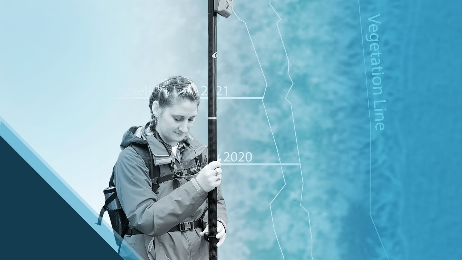
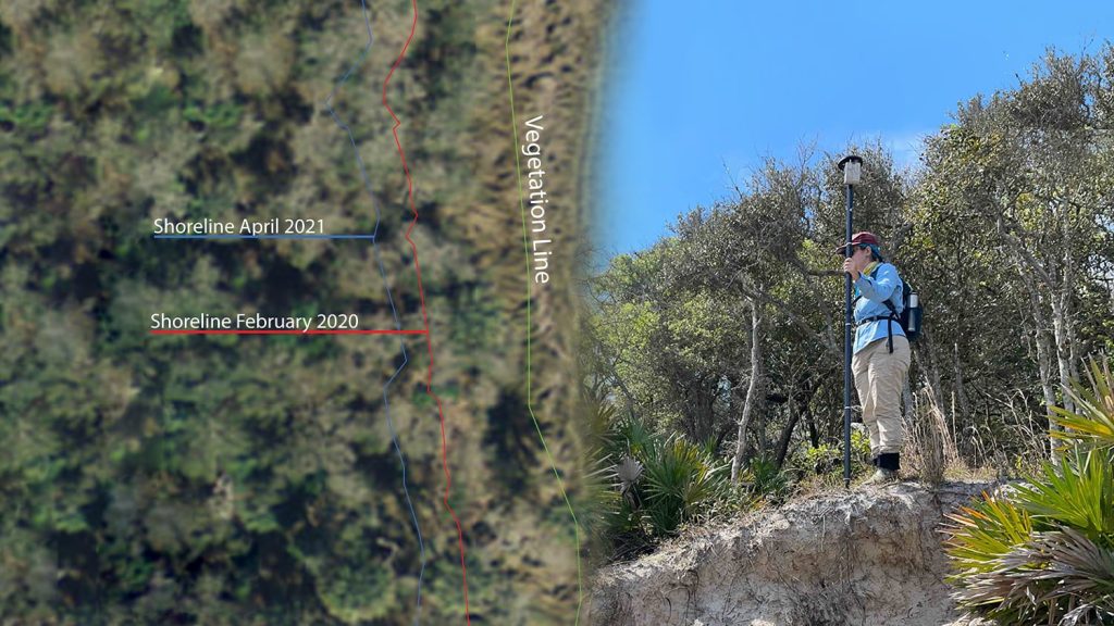
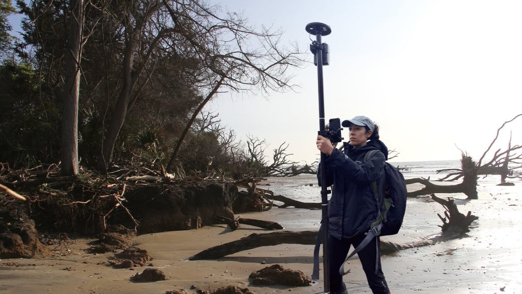
As erosion threatens archaeological sites along the Florida coast, Emily Jane Murray works to preserve the valuable history they contain. As a public archaeologist for the Florida Public Archaeology Network (FPAN), Emily Jane specializes in recording and mapping archaeological sites categorized as “heritage at risk.” These are sites endangered by rising sea levels. Using Eos GNSS receivers with Esri’s ArcGIS® Field Maps, Emily Jane’s team maps changes at these sites as well as coastal erosion rates. All of this helps FPAN prioritize site documentation, excavation, and research — an increasingly urgent and large-scale task as erosion outpaces existing predictive models.
Explore the work Emily Jane does to help preserve Florida’s rich coastal history!
1. Why are you passionate about your job?
I am passionate about archaeology because it can provide tangible links to the past, which can be very important for people today to understand their history and heritage. Archaeology is an exceptional tool to help tell the stories from the past that are often left out of history books. These stories can help connect us to places and to the multitude of histories they contain — they can help us better understand difficult parts of the past and even help right injustices.
I work a lot on the issue of heritage at risk – specifically, the effects of climate change on archaeological sites – because these effects are already changing the ways we can connect to these places. Unfortunately, we can’t prevent a lot of the impact we’re seeing, but we can get out to document and investigate what we have while it’s still here, and we also can bring community members to these places to learn and explore with us.
2. How did you first find out about Eos Positioning Systems’ GNSS products?
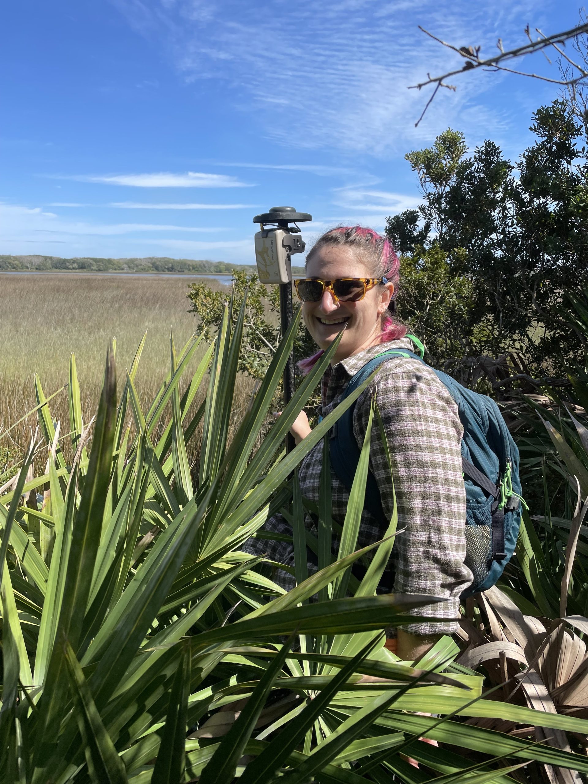
We first learned about Eos products from our colleagues in Scotland, who work on similar issues of coastal change and the impact of climate change on heritage sites. They were using Eos Arrow GNSS receivers to map shorelines there, and so we brought the idea back to Florida to use in similar ways.
3. What do you use Arrow Series® GNSS receivers for?
We use the receivers to help us map cultural resources. We have a statewide monitoring project looking at heritage at risk, and often have to update boundaries for sites. The Arrow 100® makes it easy to collect this data in the field. We also use the Arrow Gold® receiver for more involved monitoring projects, including mapping shorelines to track erosion and to gather GIS data for georeferencing the 3D models we create of sites.
4. Do you have a favorite experience or memory from your projects with Eos Arrow?
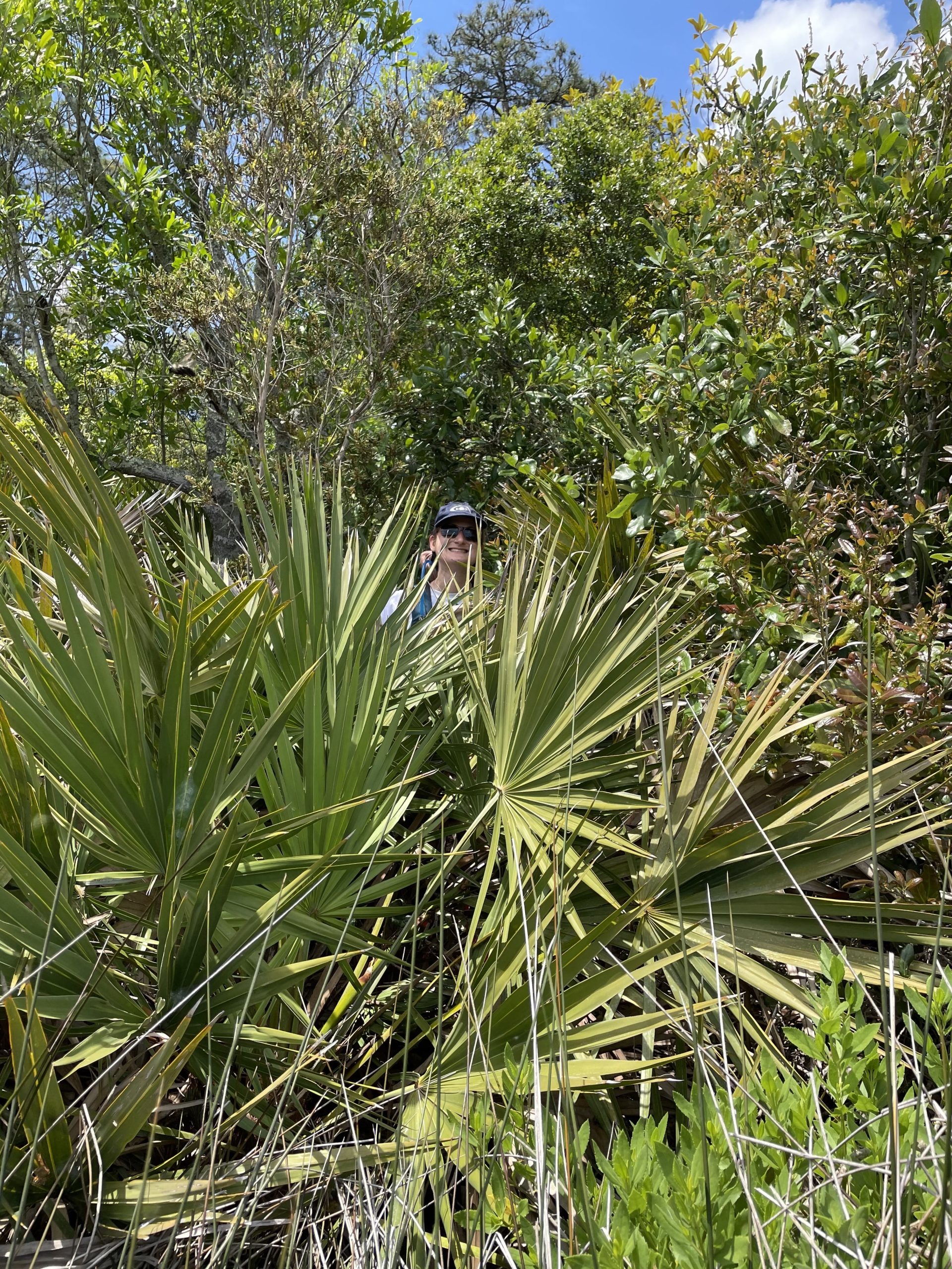
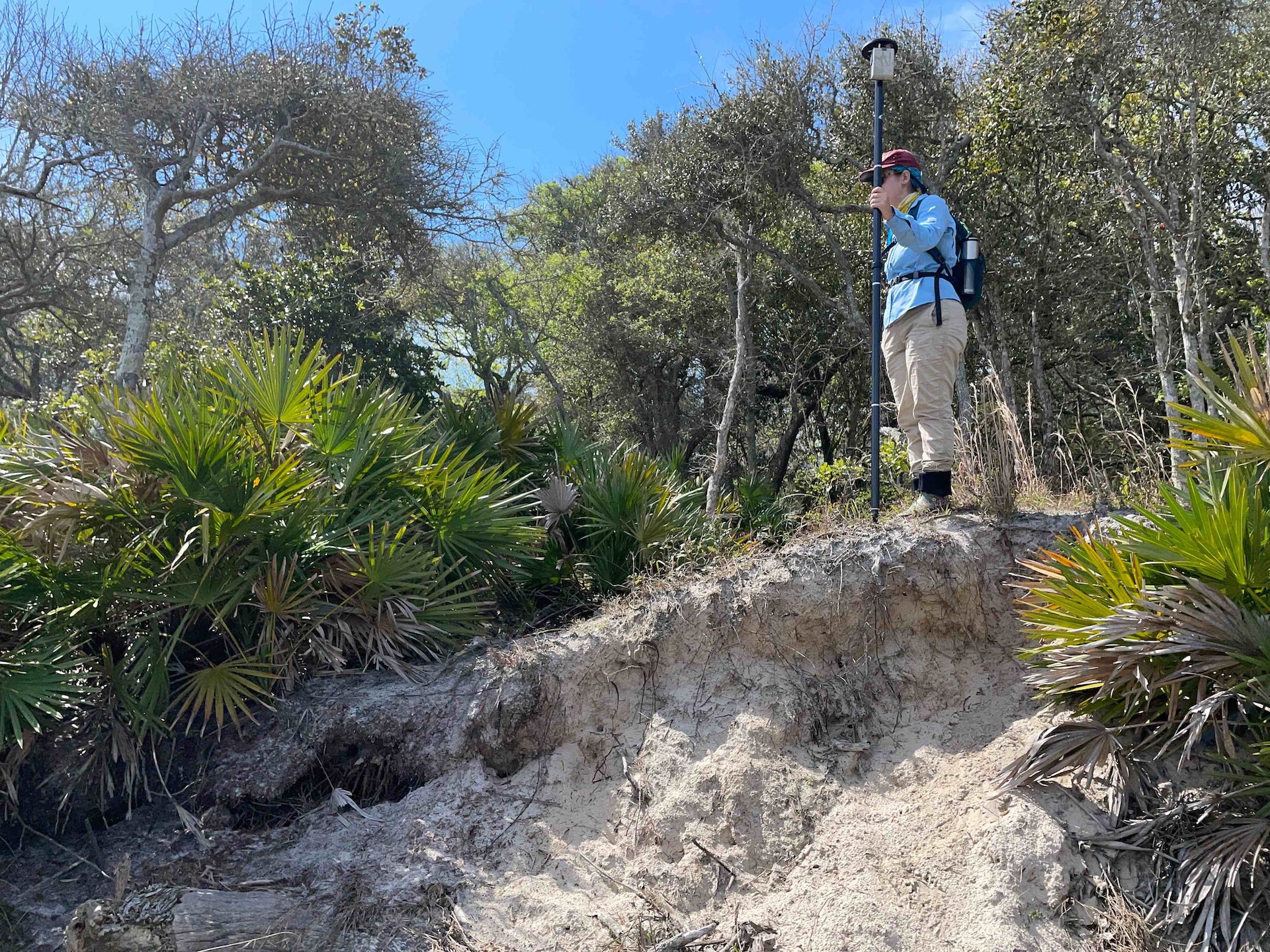
We work in some pretty wild areas of Florida, in a lot of beautiful maritime hammocks and palmetto. I have a lot of very fond memories of fighting through palmetto scrub to find the shoreline, and then working hard to get the receiver in just the right place for the best accuracy! Some of our favorite field photos involve heads, hands, and Arrows sticking out of the palms.
5. Do you have a favorite feature of Arrow GNSS receivers?
I love how they are so easy to use, especially when using in tandem with apps on your phone. We work with a lot of students and volunteers, and it is great to have such powerful tools that they can just pick up and start using to collect data.

