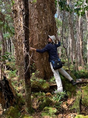
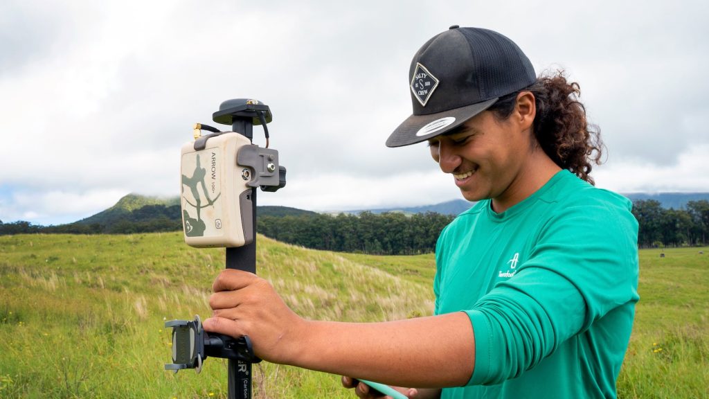
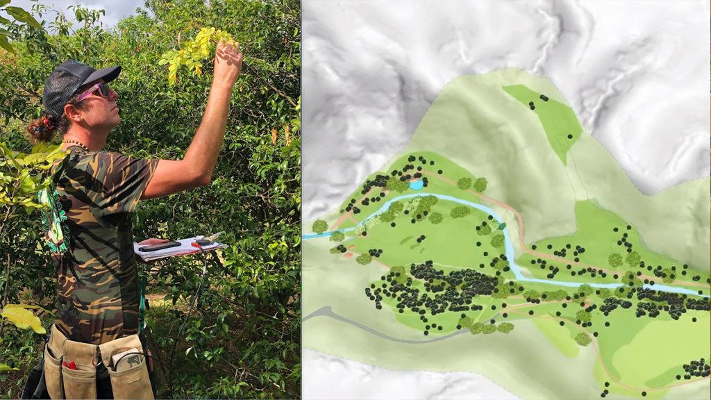
Eos first met Brian Tucker when our team contacted him as the winner of our contest at the 2020 virtual Esri UC. From day one, the passion and enthusiasm Brian held for his work was apparent. As the Rapid ʻŌhiʻa Death Data Manager at The Research Corporation of the University of Hawai‘i, Brian is doing critical work to conserve the ʻŌhiʻa, Hawaiʻi’s most abundant native tree. Through GIS, Brian and his team are working to protect this species from a fungal pathogen that has killed hundreds of thousands of these trees across the islands. Eos was thrilled to see one of our GNSS receivers go to such a worthy project.
One year after Eos announced Brian as the winner of the 2020 Esri UC contest, we decided to follow up with him to hear how he is using the receiver in his research today. Read below to learn more about Brian’s important conservation efforts!
1. Why are you passionate about your job?
I grew up in a rural area surrounded by lots of forests, and I learned to appreciate all the intrinsic value these species hold as well as the abundant gifts they provide. Once I started my career path as a field biologist, I realized that my own hands and feet could only do so much. I found that I could make a greater impact by supporting teams of field staff, researchers, and managers with good data management and efficient use of technology. My current position as the Rapid ʻŌhiʻa Death Data Manager is a continuation of my lifelong pursuit to do good things for our Earth. Working with a multi-agency, multi-disciplinary team across the state and beyond has been my favorite job experience yet. It is a great team!
2. How did you first find out about Eos Positioning Systems’ GNSS products?
I saw an Esri advertisement about Eos being able to provide submeter accuracy with a portable unit that could Bluetooth® to my phone or tablet. Mind blown! After my previous experiences (first with high costs for proprietary software to achieve high accuracy, and later with the convenience of using a GPS unit with Bluetooth® support), I was amazed to learn that I could achieve both at an affordable price. I had to find out more. The cherry on top was the fact that the Arrow 100® GNSS receiver works so easily with ArcGIS Online and its accompanying apps.
“The key is that the receiver itself and the data collected are very practical and straightforward to work with. This has really helped me focus on the very complex ecological challenges we are facing, as opposed to what tools we should be using in support. Thank you!”
3. What do you use Arrow Series® GNSS receivers for?
I have had the Arrow 100® for almost a year and have used it in support of multiple projects. There were early challenges to employing it in the field, as in-person work was very limited during the early months of the COVID-19 pandemic. The positive that came from this was that I was able to test out the Arrow 100® and learn its features by mapping and supporting projects on my property. Having this experience, I was able to confidently support field projects once field work picked back up.
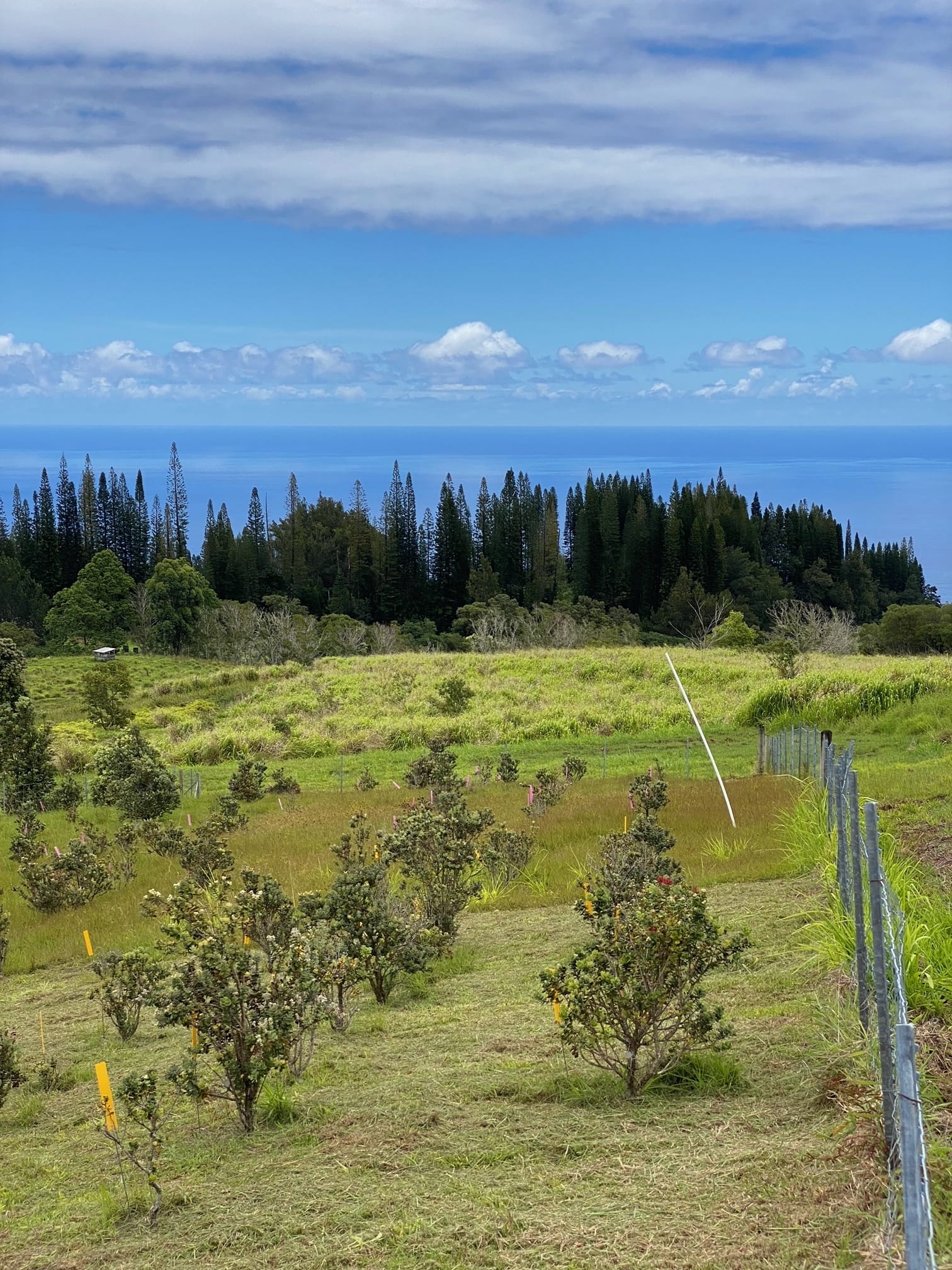
First, I monumented “mother” trees in support of research for the ʻŌhiʻa Disease Resistance Program, which aims to investigate trees that are resistant to Rapid ʻŌhiʻa Death. This is a fungal pathogen that has killed hundreds of thousands of Hawaiʻi’s most abundant native tree. Second, I mapped an out-planting site, the Kupuaʻe ʻŌhiʻa Common Garden. It was established in 2014 with 800 trees planted and is an ongoing science education restoration project. The mapping of each plant facilitates future monitoring data collection and analysis using the ArcGIS Field Maps app. Third, I created accurate ground control points for drone imagery. I was amazed at the inaccuracy of previous orthomosaics created without GCPs! These are just a few highlights of the help this Arrow 100® has provided in the management and monitoring of Rapid ʻŌhiʻa Death, with more to come.
4. Do you have a favorite experience or memory from your projects with Eos Arrow?
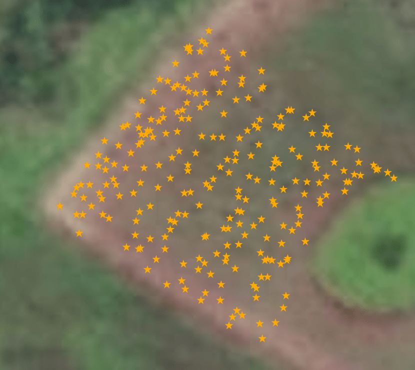
Take a look at the following graphics and you’ll see why the Eos Arrow 100® GNSS receiver is an amazing conservation tool! I had originally attempted to map the Kupuaʻe ʻŌhiʻa Common Garden shortly before receiving the Arrow 100®. I knew it would be a challenge since the trees were originally planted very close to each other, with approximately 1.5 meter spacing. Using a common commercial GPS, I made sure to stand at each point and average point locations. The results were not good. Here is a section of the garden that I had originally mapped:
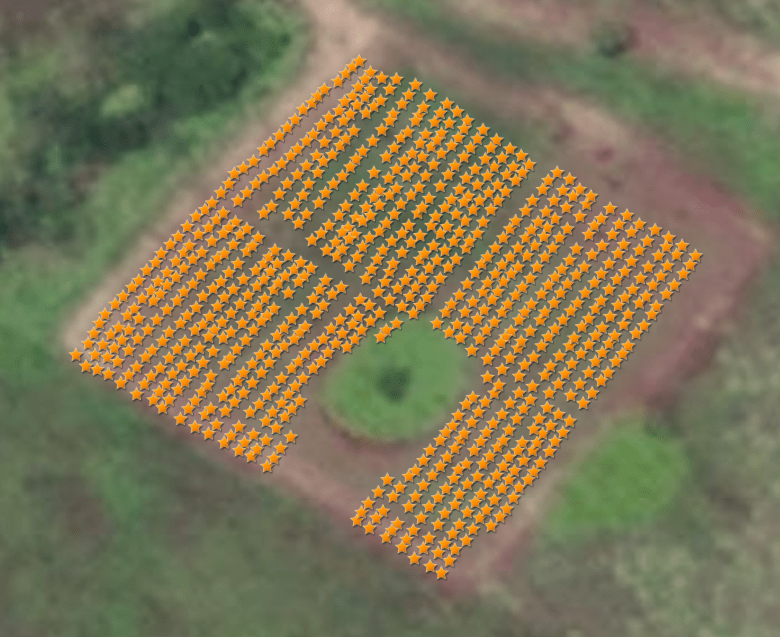
I was not entirely sure what I was going to do, other than to create points that align with the actual features of the garden. Then I received the Arrow and was able to map the whole garden efficiently and effectively. Notice the rows of outplantings that reflect what it really looks like! I was not even sure that this level of accuracy could be ever be achieved without the Arrow Gold® RTK, for example.
5. Do you have a favorite feature of Arrow GNSS receivers?
It is a tie between how easily it works with Esri mobile apps and being able to easily include the position metadata in the attribute tables. The key is that the receiver itself and the data collected are very practical and straightforward to work with. This has really helped me focus on the very complex ecological challenges we are facing, as opposed to what tools we should be using in support. Thank you!
6. Is there anything we didn’t ask you that you’d like to share with us?
I just want to make it clear that I am not being paid or receiving any benefits to say this …
I’d like to share my experience with your very knowledgeable, helpful, supportive, and friendly staff. Your team took the time to walk me through the setup process, answered all my questions, showed sincere interest in the work that your product is supporting, and has been pleasant throughout. I have nothing but good things to share about Eos and have an easy time recommending you to my professional circles.


