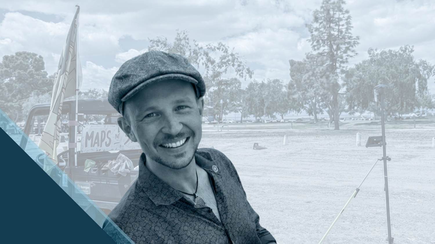
For many people, a music festival begins when the gates open. For Candlestick Mapping, LLC. Owner and Cartographer Jack Braunschweiger, the work begins long before the first attendee arrives.
Jack’s work takes place at the intersection of live events, engineering, drone mapping, and high-precision geolocation. At Candlestick Mapping, Jack is responsible for ensuring thousands of temporary assets — from stages and fencing to lighting and facilities — are positioned exactly where they need to be. More than that, he pays particular attention to ensuring the placements of artistic exhibitions are done in a way that best compliments their messages, from surrounding trees to the way the light hits.
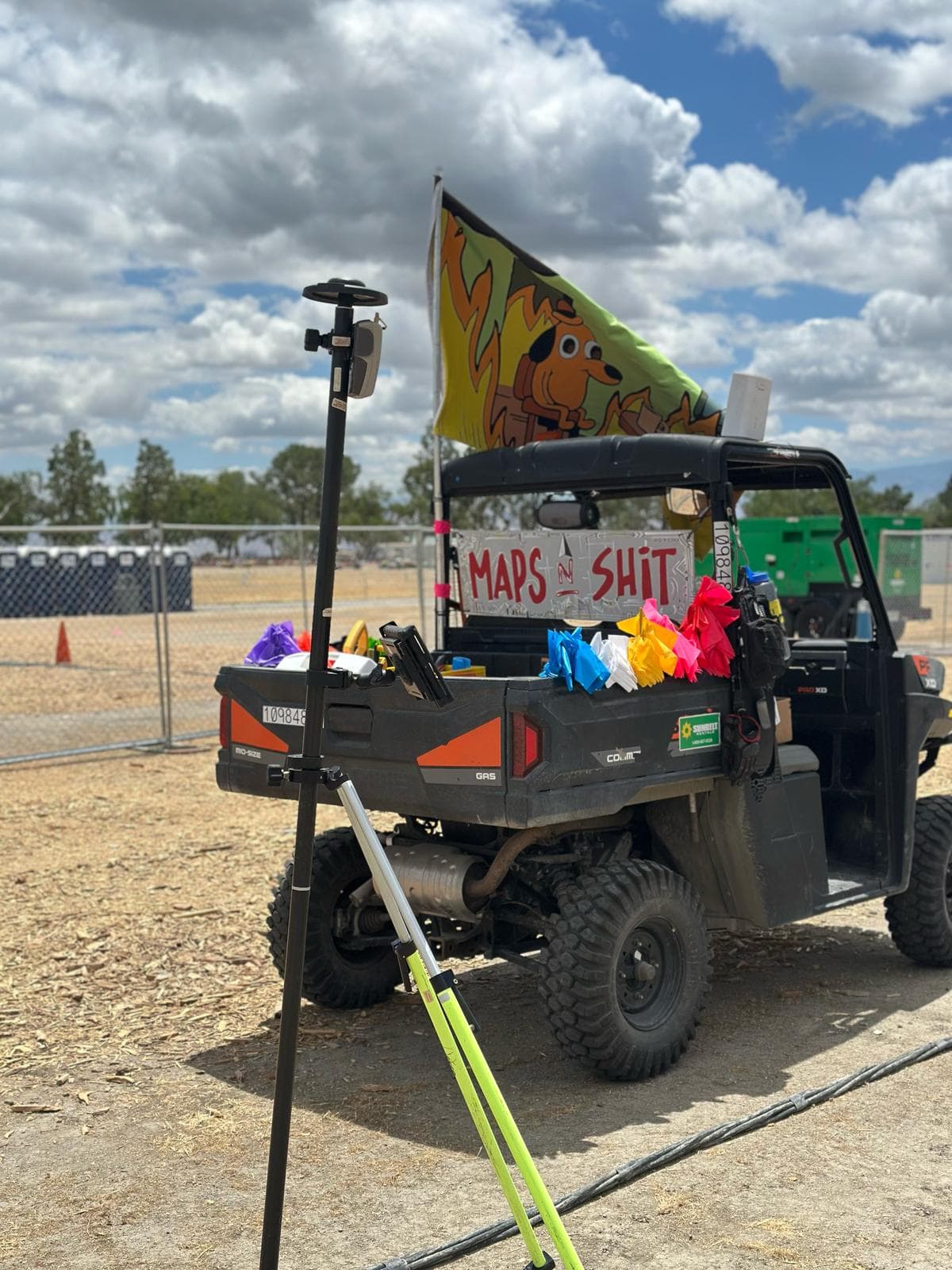
By combining detailed CAD and GIS planning with boots-on-the-ground GNSS technology from Eos Positioning Systems®, Jack helps transform complex festival sites into places where a team of regular and contract workers can execute large-scale events with confidence. In this customer spotlight, Jack shares how high-accuracy mobile mapping has totally changed the way major music festivals are built.
1. Why are you passionate about your job?
I am blessed to be in a position to help my entire team do their job at the highest level. The maps I create are used site wide by a number of departments to assist them accurately place their assets, allowing for accurate pre-event planning. I am also the center of a larger communications network, allowing for information to flow between different departments, where a line might not traditionally exist. Something as simple as moving a generator or fence line could throw off another group — if they are not made aware of that change.
2. How did you first find out about Eos Positioning Systems’ GNSS products?
I first heard about Eos Positioning Systems through a mutual personal and professional contact, Professor Warren Roberts, who has been using this system in his classroom for years. He has helped bring on-site placement to the next level for the events I work with, and this technology has been an absolute game changer in regard to efficient and accurate asset location.
My work sits at the intersection of civil engineering, live events, drone mapping, and high-precision geolocation. It’s a rapidly evolving field, and I’m excited to be pushing the boundaries of what’s possible as new technology continues to emerge.
3. What do you use Eos GNSS products for?
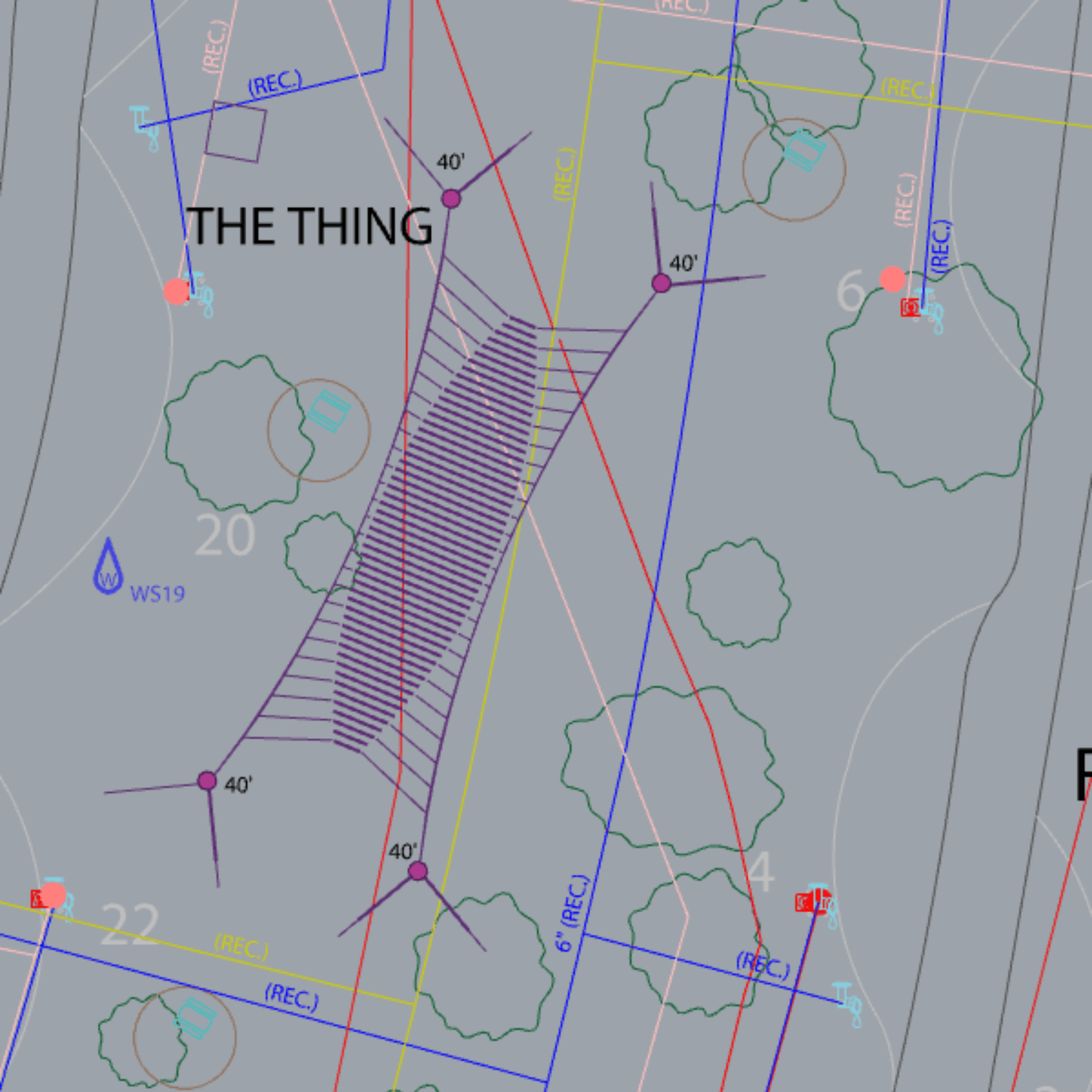
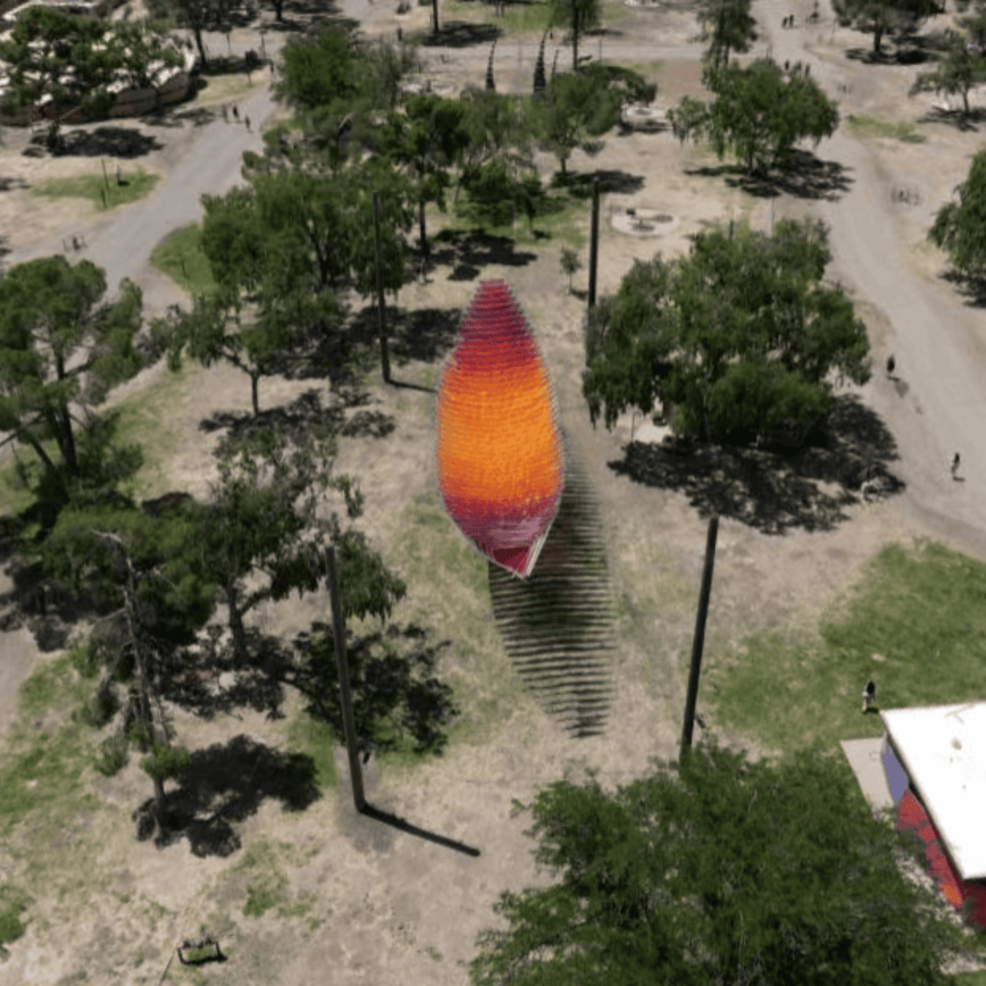
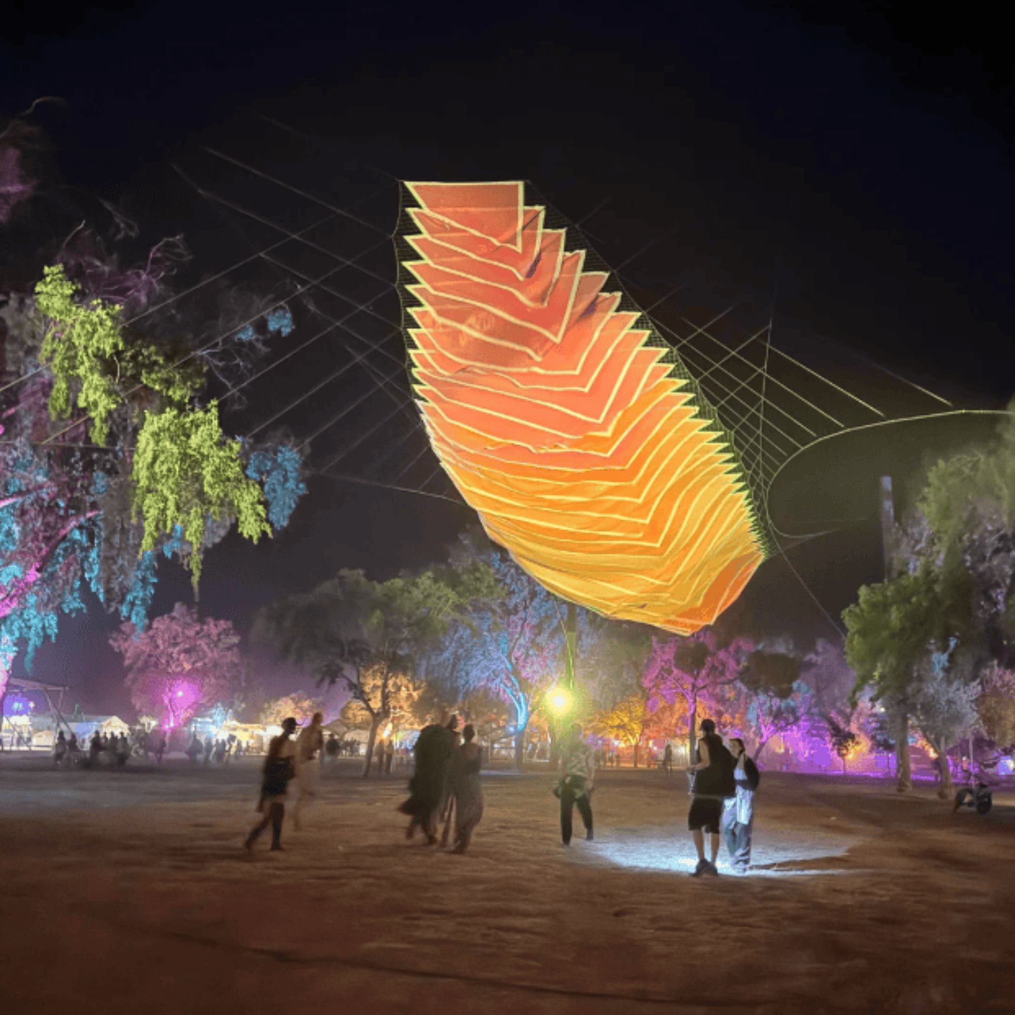
I use these products to place all major assets for high- capacity music festivals. Every fence, stage, tent, light, and porta-potty has been meticulously mapped out to scale in CAD software. The CAD drawing is then uploaded to the cloud and used on software that integrates with the Eos products to allow for high- accuracy placement of those assets. It’s a real game changer.
4. Do you have a favorite memory from your projects with Eos hardware?
In 2025, my department rolled out using the Eos products in the largest scale yet. The system was used to place 90% of assets on site — and was a huge success. Previously, we would need to rely on tape measurement and line of sight for placement. This meant that we were restricted to do our on-site work during the daylight hours. During this first year, I was able to place one of our main stages at night during a full moon without the use of tapes or line of sight. It was extremely satisfying to come back the next morning and see it perfectly placed in the field!
5. Do you have a favorite feature of Eos GNSS receivers?
They just work!
6. Is there anything we didn’t ask you that you’d like to share with us?
My work sits at the intersection of civil engineering, live events, drone mapping, and high-precision geolocation. It’s a rapidly evolving field, and I’m excited to be pushing the boundaries of what’s possible as new technology continues to emerge.
Explore Related Content

Do LaB’s Festival Planning Hits All the Right Notes with Eos GNSS
Do LaB streamlined construction and layout accuracy for the Lightning in a Bottle festival by using Eos GNSS receivers and ArcGIS.

Collecting Evidence-Grade Rights of Way Data to Justify Investment and Maintenance
Discover how Sheffield City Council modernized Public Rights of Way data collection using ArcGIS QuickCapture and the Skadi 100 GNSS receiver. Learn how accurate, evidence-grade data supports funding, maintenance, and liability management.