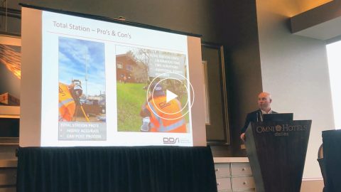
In this Esri AEC webinar, DDSI Global shares how per-project ROI increased by 20% thanks to the use of Eos Laser Mapping for Collector during site surveys.
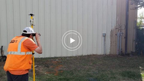
In this Esri AEC webinar, DDSI Global shares how per-project ROI increased by 20% thanks to the use of Eos Laser Mapping for Collector during site surveys.
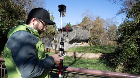
Laser Mapping with ArcGIS Collector allows one zoo to create its first basemaps in 120 years with cm accuracy, amid heavy foliage, buildings and animals.
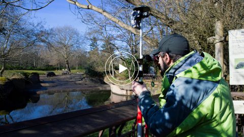
The Woodland Park Zoo Laser Mapping project enabled infrastructure (utility, gardens, etc.) basemaps with submeter accuracy for the first time in 120 years!
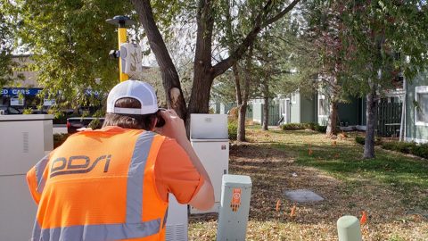
Denver’s DDSI maps utilities in tough-to-reach areas with Eos Laser Mapping for ArcGIS Field Maps during construction design phases.
DDSI at Esri GeoConX explains how they accelerated field work, enabled real-time QA/QC and reduced accuracy error for utility field work with laser mapping.