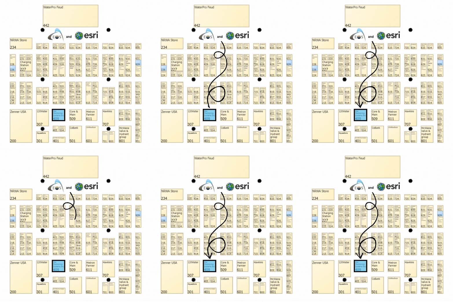
Visit Eos Positioning Systems® (Eos) and Esri at the 2024 WaterPro conference. This year’s event will be held at the Savannah Convention Center Sunday in Savannah, Colorado. Eos and Esri will be in booth #409 from September 09–10, and the following day we will present a free two-hour mobile mapping session that will train you in getting started with GPS and GIS technologies. You must be registered for the event in order to attend the training session.
Expo Dates & Times
Sep 09, 2024 / 9:30am – 6:00pm
Sep 10, 2024 / 7:00am – 12:00pm 2024-09-09 09:30:00 2024-09-10 12:00:00 America/New_York 2024 WaterPro Find Eos at 2024 WaterPro Savannah, GA Eos Positioning Systems
Location
Savannah Convention Center Sunday
1 International Dr.
Savannah, GA 31421
United States
Social Media
Find Eos and Esri in the exhibit hall in booth #409:
Our Conference Sessions
The Eos team will be participating in the following sessions during the conference. Please join us for some informative discussion.
Session 1: Deploying GIS & GNSS Instead of Paper & CAD at Cassatt Water
Sep 09, 2024 / 11:00 am - 12:00 pm |
Room: 200/201
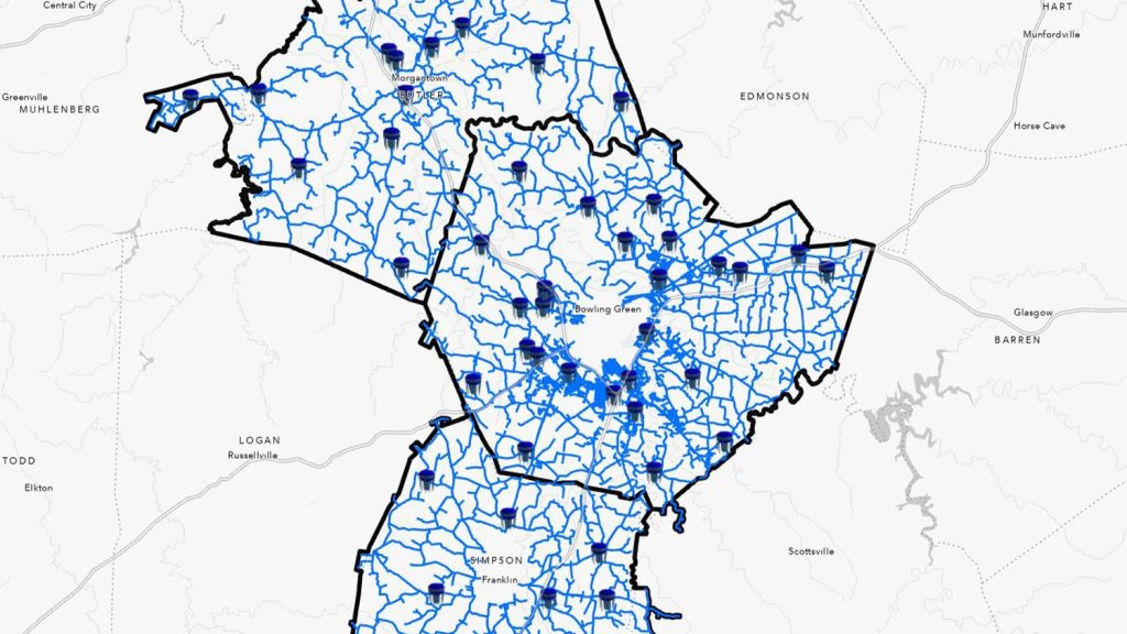
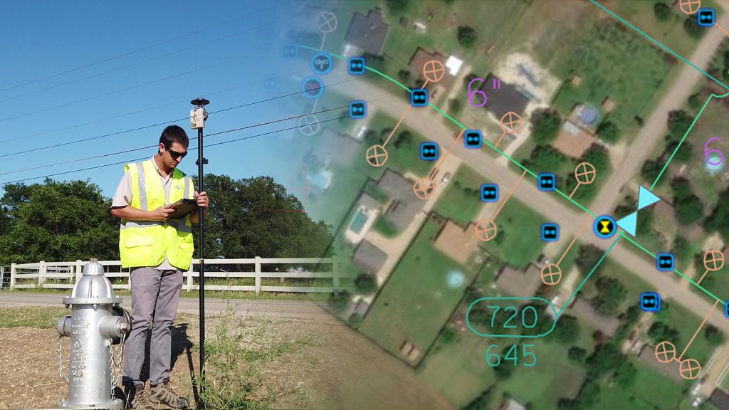
Cassatt Water, a South Carolina utility, tackled challenges with outdated paper mapbooks and inaccurate GIS data. The utility previously digitized its paper and CAD mapbooks into GIS—but accuracy issues persisted as the digitized CAD maps were not themselves accurate. Director of Engineering Nathan Ward deployed ArcGIS Field Maps on iOS devices, empowering field workers to update asset locations in real-time. Using an Arrow Gold+ GNSS receiver for sub-inch accuracy further improved location precision. Veteran field workers updated about 10% of valves in just the first three months, enhancing GIS accuracy and transferring decades of institutional knowledge. The results have streamlined leak response, improved job efficiency and instilled trust in GIS data. Cassatt Water now uses this to map new construction projects. Their work ensures accurate asset representations in the GIS, setting the stage for enhanced reliability and efficiency, particularly for the next generation of workers.
- Nathan Ward, Cassatt Water
- Finn Swann, Esri
- Mike George, Eos
Session 2: Web GIS: Enabling Digital Maps & GPS Field Data Collection
Sep 09, 2024 / 1:30 pm - 3:45 pm |
Room: 202
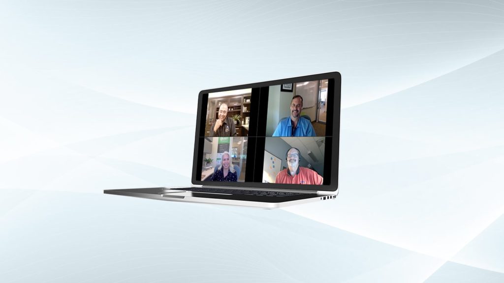
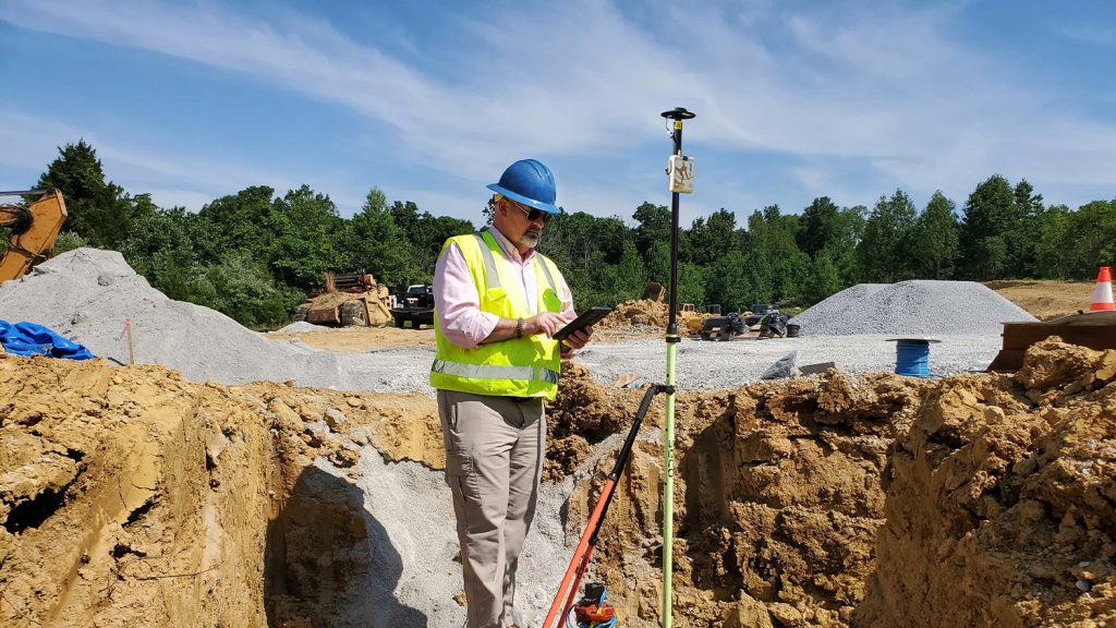
Join this two-hour educational presentation to learn about web GIS, mobile mapping applications, the foundations of GPS for water utilities, and more. This workshop will include an outdoor hands-on exercise using real, professional-grade mapping hardware and software.
- Finn Swann, Esri
- Mike George, Eos Positioning Systems
- Brittany Metz, Esri
Who are Eos and Esri, and what do we offer National Rural Water Association members?
Eos and Esri partner with NRWA to bring rural water professionals easy-to-use mobile mapping applications. With our combined hardware and software, NRWA member organizations are able to collect, use, and share geospatially aware information with everyone who needs it. Maps have always been essential to understanding and improving the delivery of safe, clean drinking water and reliable sewer and stormwater services. Today, digital maps enable field crews to quickly view and collect data with mobile devices, and user-friendly GPS receivers ensure this data is accurate. Eliminating paper forms, unreliable maps, and manual data entry improves workflows across your organization. Learn how you can use GIS and GPS to resolve common business challenges by visiting Esri and Eos at our joint booth in WaterPro.

