To celebrate the upcoming new year (and new decade!), Eos Positioning Systems will be counting down some of our top posts from 2020. Follow our Twitter handle (@EosGNSS) for daily updates until the New Year! Or if you prefer browsing all at once, keep scrolling!
Counting Down to Number 1 …
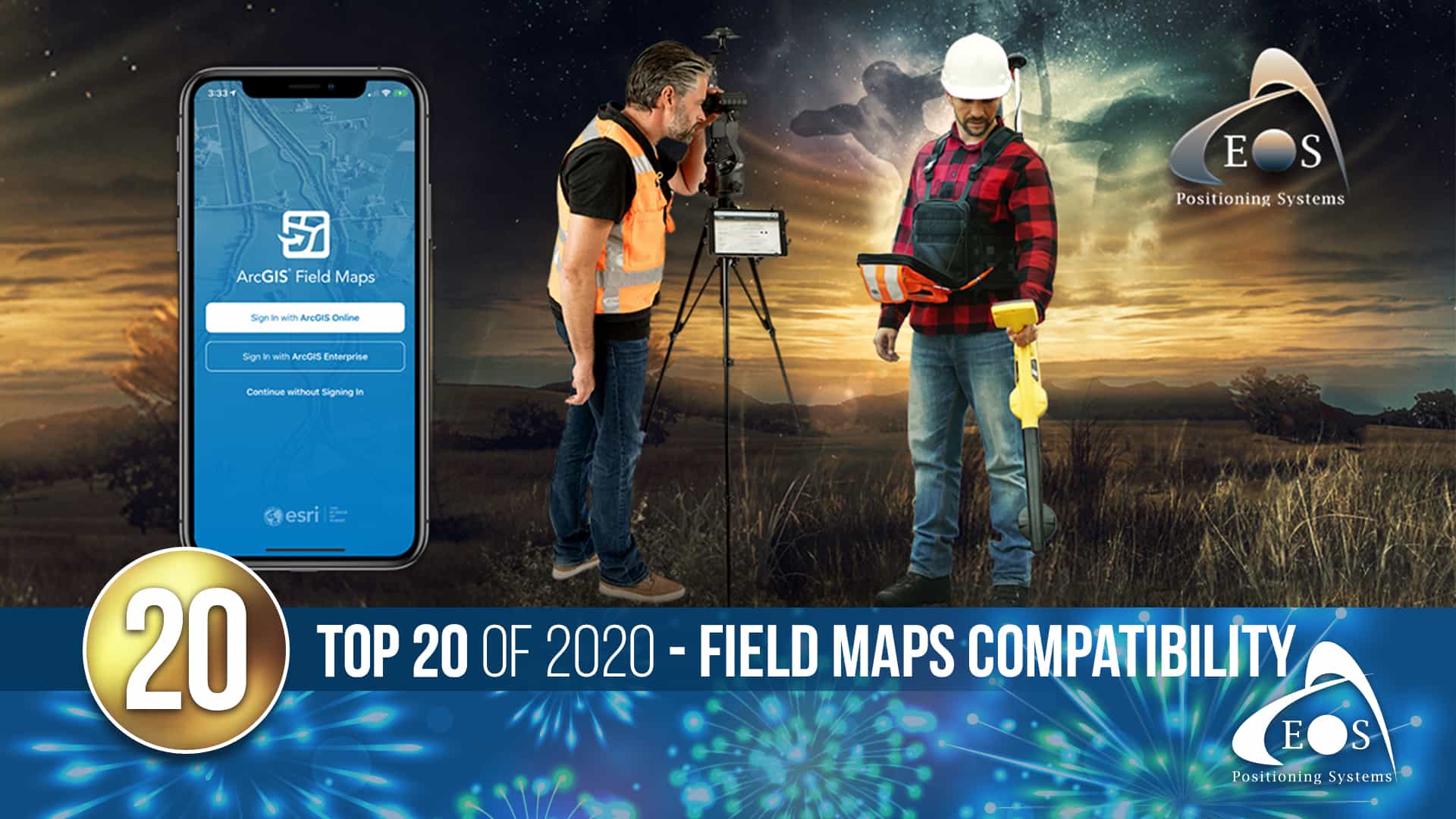
20) Esri releases ArcGIS Field Maps beta with support for Arrow GNSS receivers
The August 2020 release of Eos Tools Pro (v.1.89) made two ArcGIS apps solutions immediately available for use with ArcGIS Field Maps! These solutions include:
- Eos Locate™ for ArcGIS® apps (including Collector and Field Maps) – Map buried assets with cm accuracy using Arrow GNSS and ArcGIS Field Maps
- Eos RTK Laser Mapping™ for ArcGIS apps – Map assets without having to physically occupy (stand atop) them. This solution is great for assets located in dangerous or hard-to-reach locations (e.g., a manhole in the middle of a busy intersection), as well as assets located in GNSS-impaired environments (e.g., a gas meter attached to a building side)
Now, with the full version of ArcGIS Field Maps released and ready for users worldwide, the possibilities for mobile will only grow.
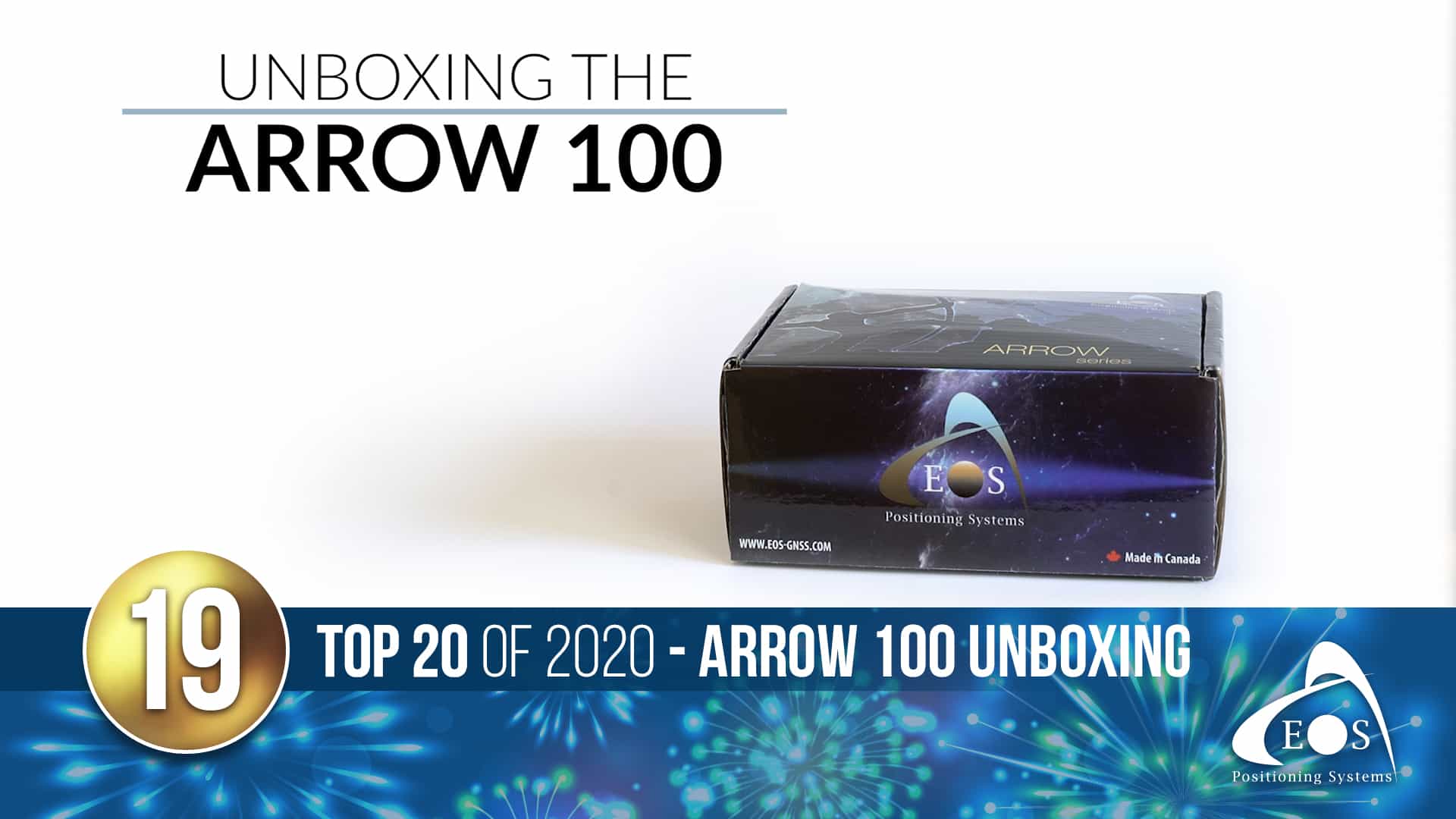
19) Arrow 100 Unboxing Video
This year, we let users take a peek inside a high-accuracy Arrow GNSS kit with the new Arrow 100 unboxing video! With submeter accuracy out of the box, this receiver squeezes more accuracy from GNSS constellations and SBAS than any other receiver in the world.
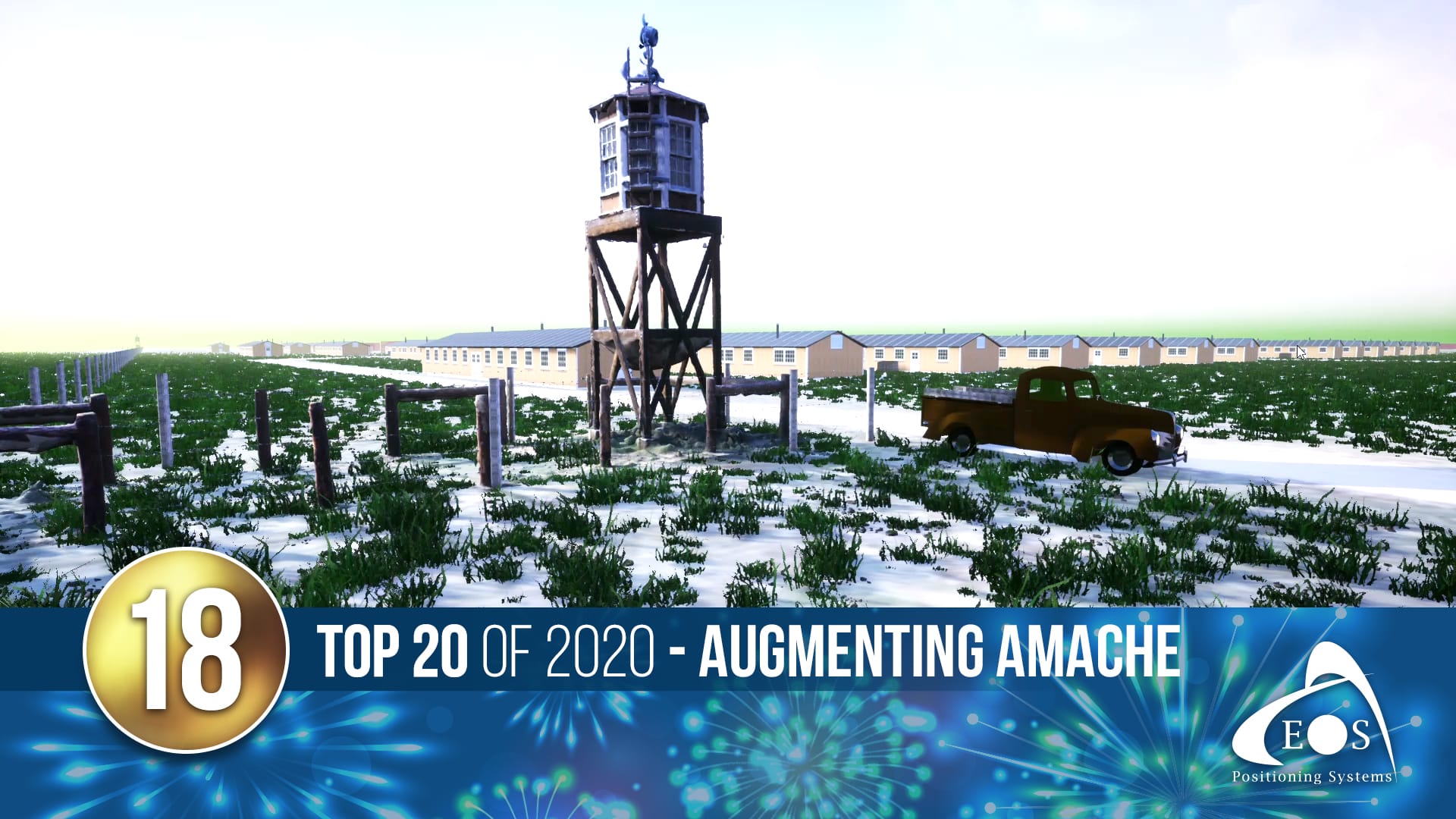
18) Augmenting Amache: A StoryMap success story
The 2020 Day of Remembrance marked 78 years since 110,000 Japanese-Americans were forcibly interned across the U.S.
Eos commemorated the day with our very first ArcGIS StoryMap. “Augmenting Amache” explores how two men, using storytelling, GIS, GPS and augmented reality, are making sure the camps won’t be lost to history.
17) Biodiversity at National Tropical Botanical Garden (NTBG) video case study
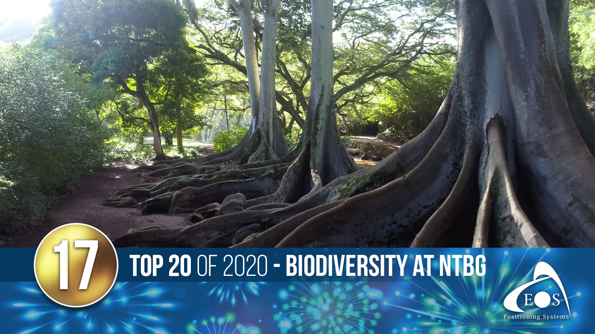
Using GNSS, NTBG is improving biodiversity for future generations. The continuous monitoring process of native plants is key to preserving the diversity of the ecosystem — and ultimately preventing plant extinction. The gardens keep a catalog of ~112,000 plants, 16% of which are rare or endangered. Using Eos Arrow GNSS, they monitor each plant with high accuracy!
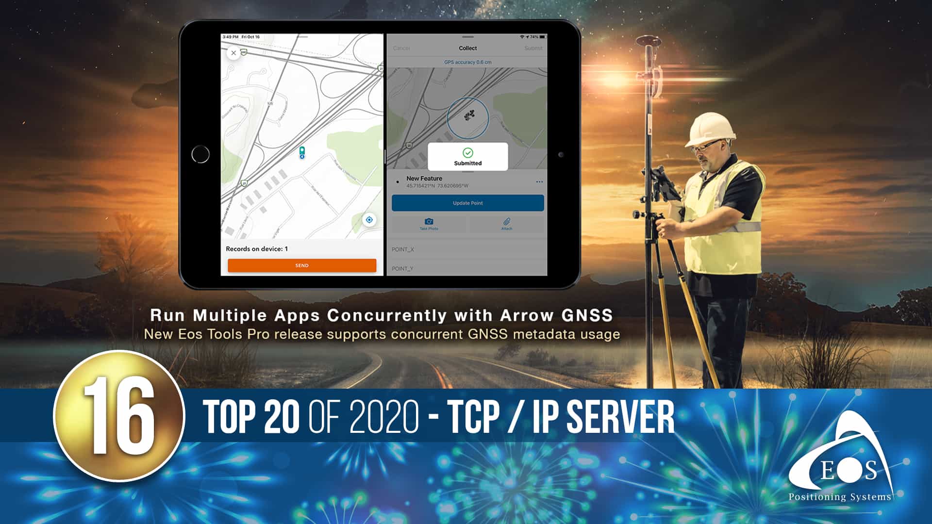
16) TCP / IP Server press release (Run multiple Esri apps concurrently with Arrow GNSS Receivers)
With the new Eos Tools Pro update, released this November, a user can run any two mobile applications concurrently on a single device! For example, a field worker could record a high-accuracy GNSS location in ArcGIS Collector and switch to an open ArcGIS Survey123 form to complete their workflow.
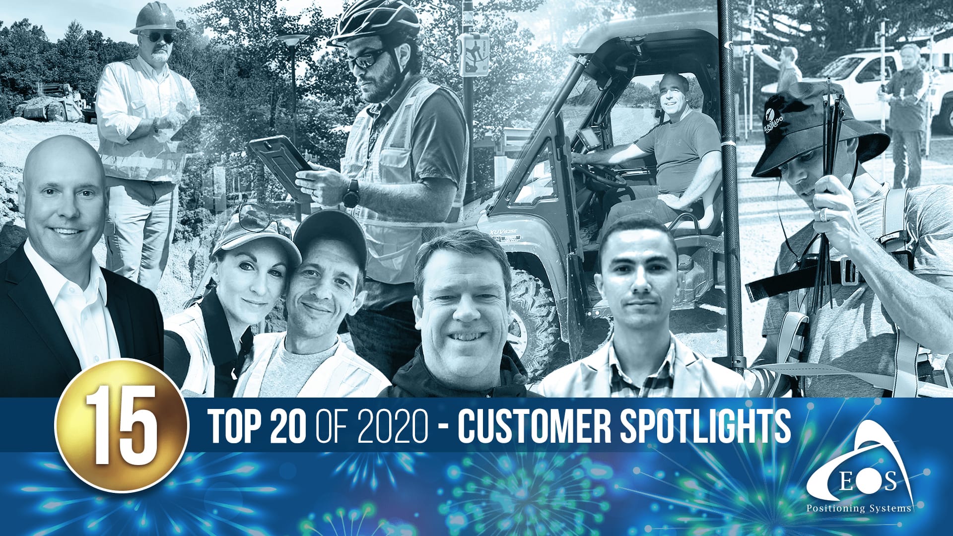
15) The 2020 launch of new Eos Customer Spotlights
One of the highlights of Eos’s year was getting to debut new monthly customer spotlights! Customer spotlights allow these GIS power-users to tell us more about their work, their personal stories, and the passion that drives them toward innovations. Eos wouldn’t be where it is without incredible users like these. Explore some of our favorite 2020 Eos customer spotlights with these links!
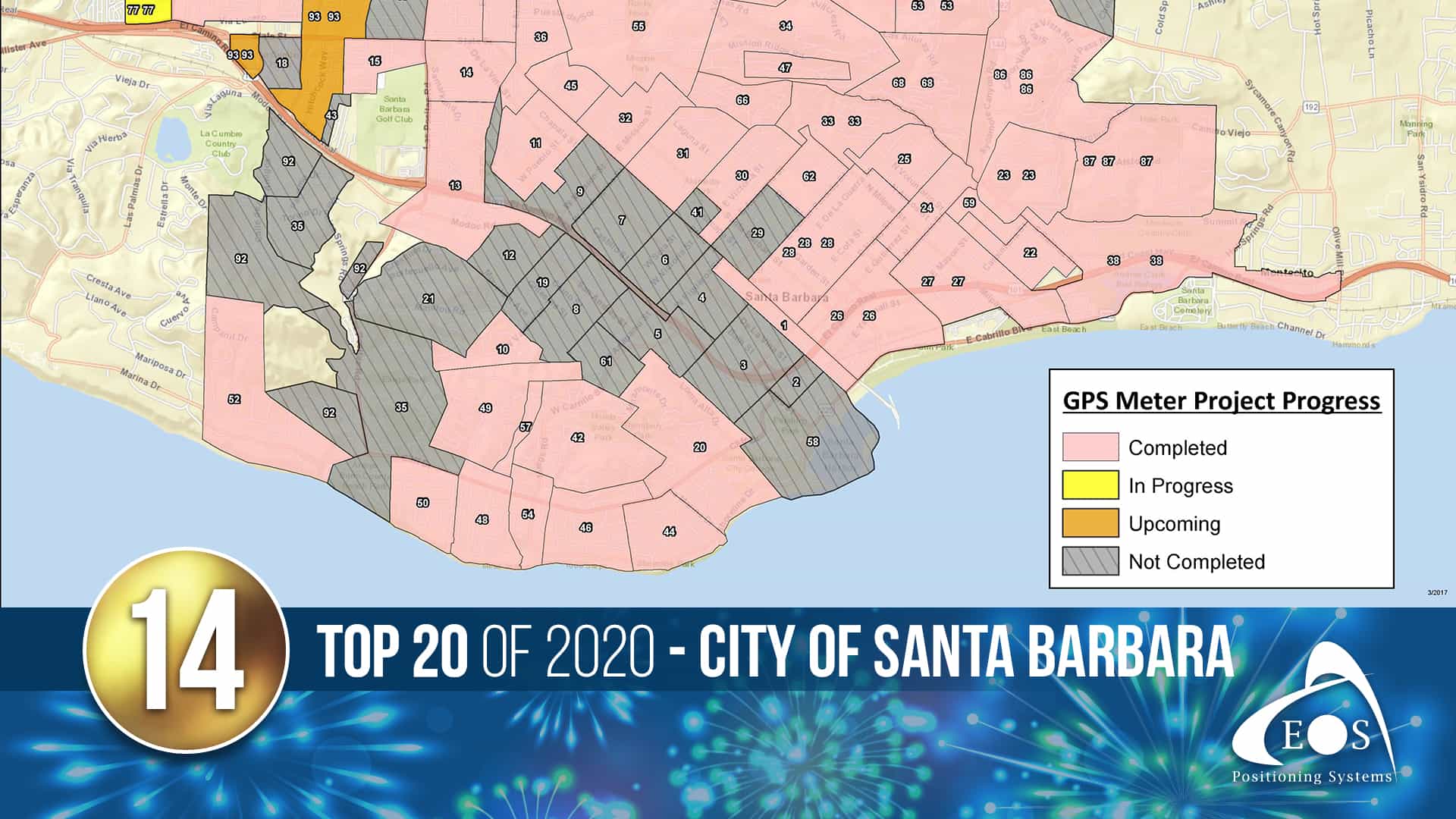
14) City of Santa Barbara success story
The City of Santa Barbara was able to double its rate of meter-location collections by modernizing their field gear! Using Arrow Gold GNSS alongside Esri’s ArcGIS Collector, they optimized their water system to fight droughts.
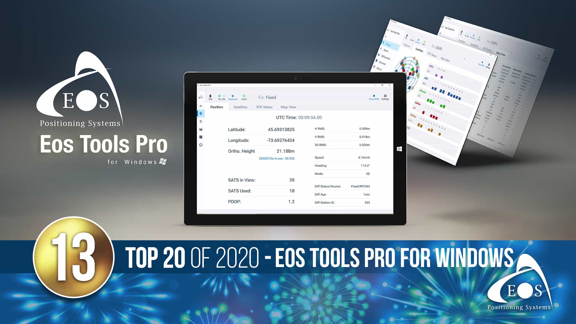
13) Eos Tools Pro for Windows press release
In June 2020, Eos Tools Pro became fully available on Windows devices! The app was released loaded with new, powerful features and a colorful user interface. For developers, integrating high-accuracy Arrow receivers became faster and easier than ever!
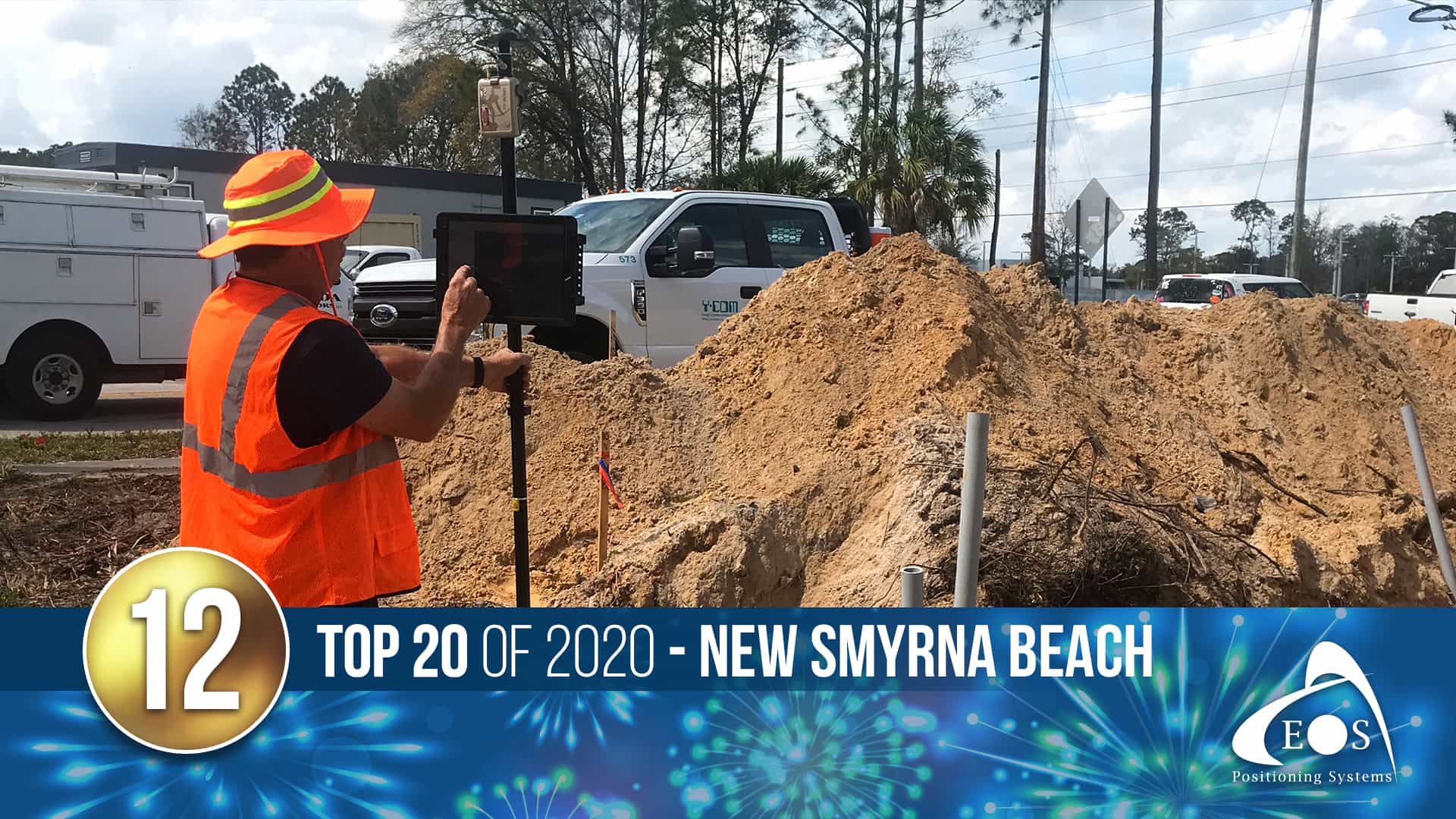
12) New Smyrna Beach success story
On the Florida coastline, the Utilities Commission of New Smyrna Beach needed a real-time, easy-to-use, high-accuracy data collection system to replace paper redlining. When transferred to GIS, the original as-built records didn’t accurately reflect locations of assets in the real world. To improve both accuracy and speed, they upgraded to Eos Arrow Gold GNSS receivers and Esri’s ArcGIS Collector! Next, they took it up a notch and far improved their asset locations with real-time submeter mapping during routine field work.
11) Subsite announces compatibility with Eos Locate™ for ArcGIS apps
In September, Eos released the long awaited integration of Eos Locate™ for ArcGIS with Subsite Electronics products! This exciting expansion allows users to map underground assets with RTK precision using ArcGIS and Subsite products.
“We are extremely excited to expand this popular underground-mapping solution to Subsite Electronics customers,” Eos Chief Technology Officer Jean-Yves Lauture said. “Utilities have been asking us to add compatibility, and we are pleased to announce that this integration is now available today, for no extra cost, to our existing customers.”
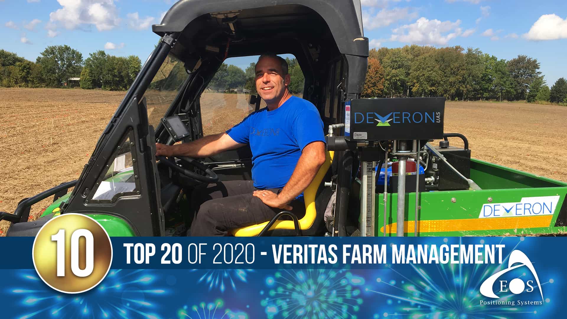
10) Veritas Farm Management success story
Veritas Farm Management is on a mission to change the way the agriculture industry interprets and uses data. The agriculture company uses Arrow GNSS receivers and ArcGIS Pro to help its clients use the least amount of fertilizer needed to yield the maximum harvest! This story marked Eos’s first-ever precision agriculture case study.
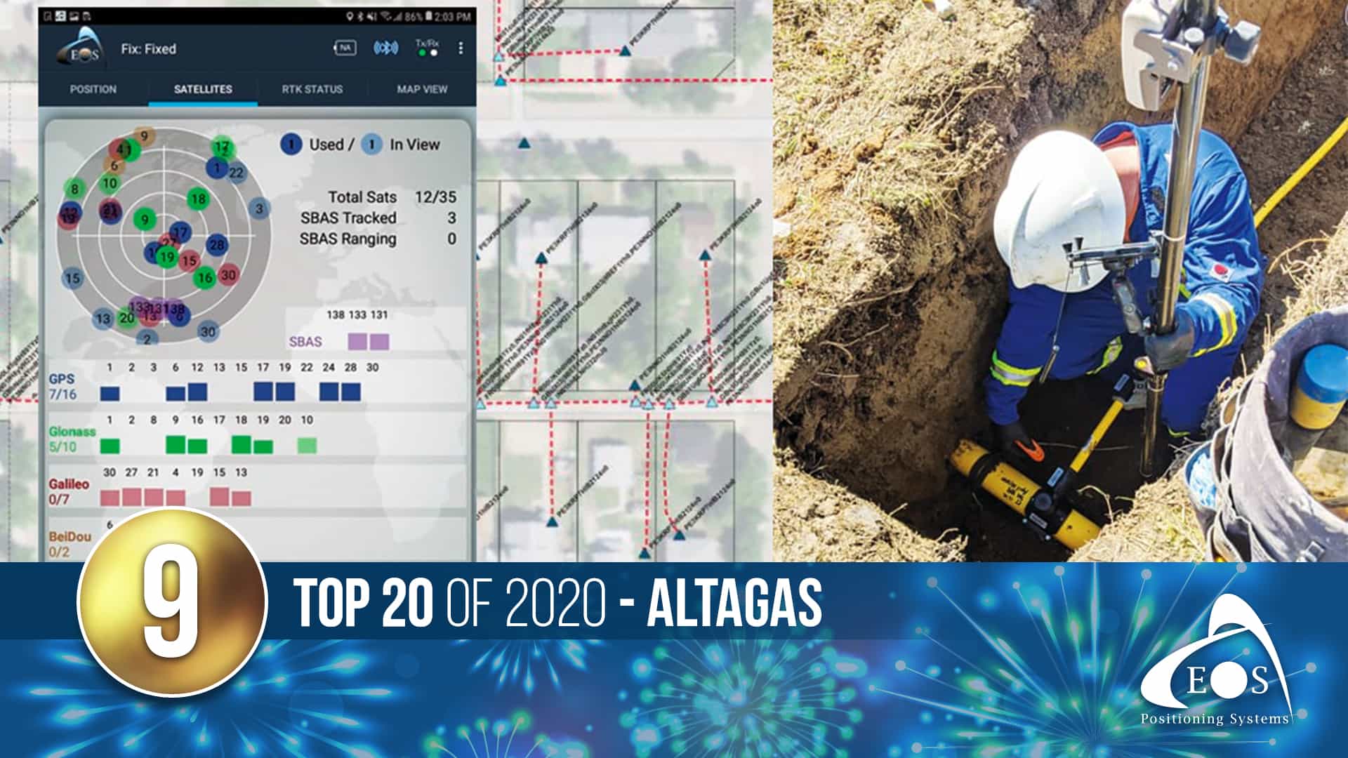
9) AltaGas Utilities success story
In the natural gas industry, regulation compliance is absolutely essential. By using ArcGIS Collector, the ArcGIS Utility Network and Eos Arrow GNSS, AltaGas Utilities was able to meet regulations and reduce inspection times by 50%! This seamless field-to-office solution was a major success for all involved.
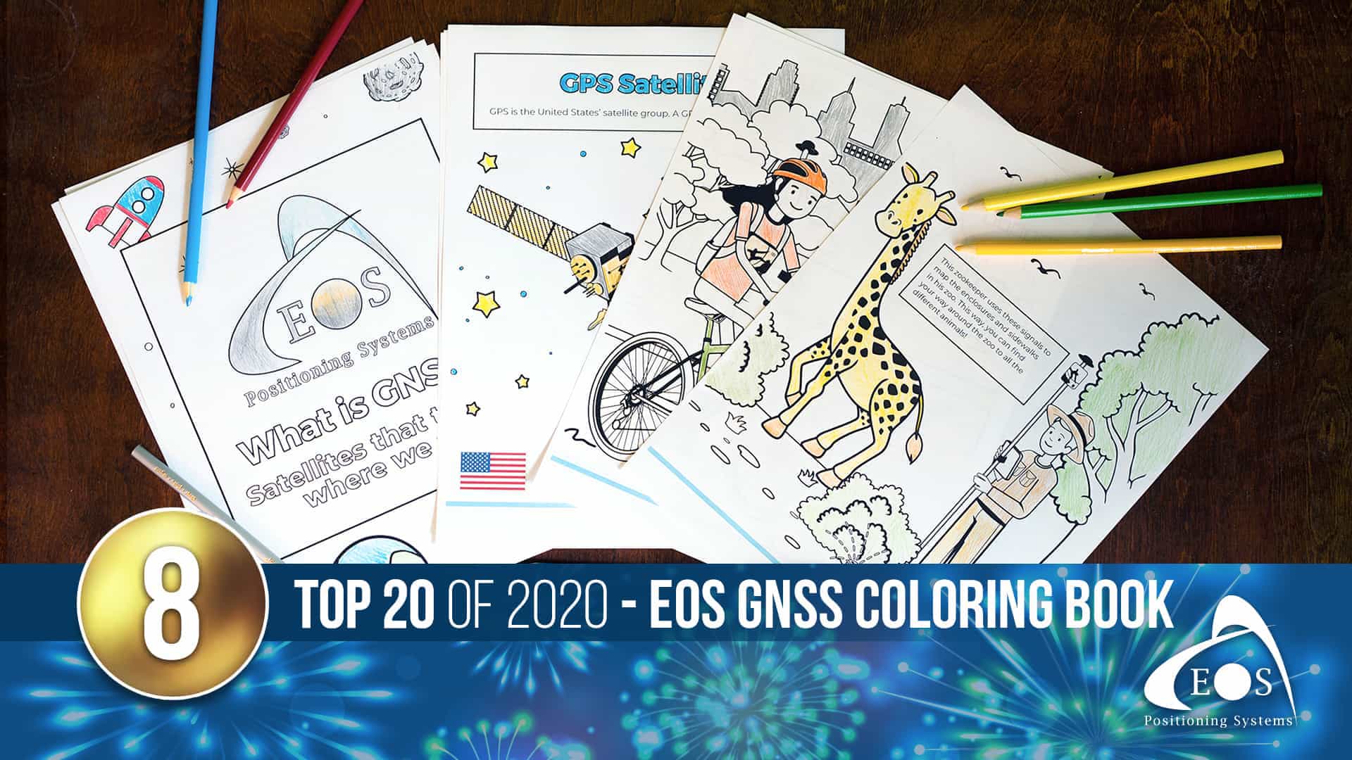
8) The Eos GNSS Coloring Book for budding geodesy experts!
During the 2020 quarantines, we figured some parents might need creative activities to entertain their kids (or themselves!) That’s why we created a free, downloadable Eos GNSS coloring book! From satellites up in space to field workers on the ground, this coloring book helps kids explore your industry from the safety of their home.
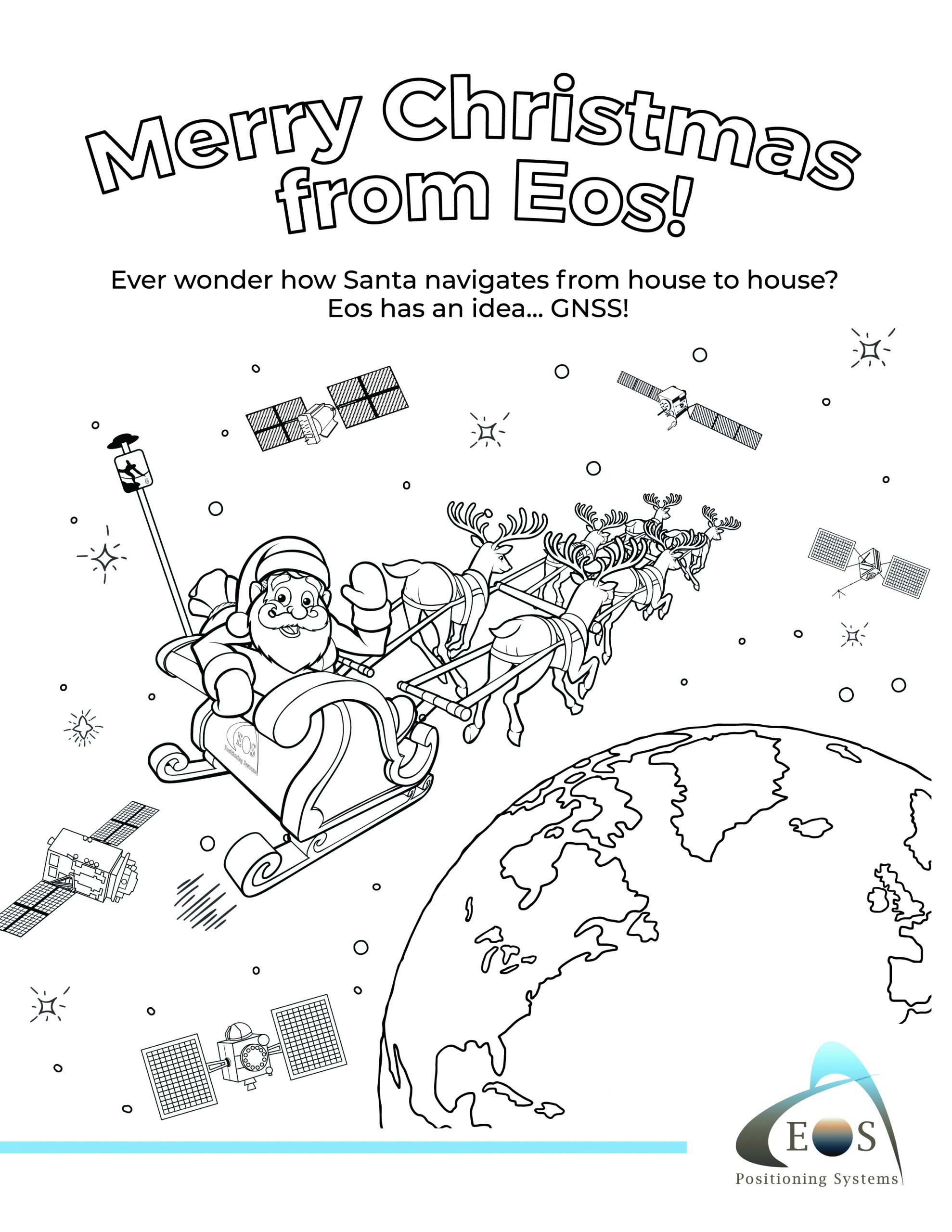
And, new as of this posting, we released a super special Christmas page! Check out how Santa Claus uses GNSS to navigate to our homes! This project has been such a joy to see submissions from. Don’t forget to submit your finished coloring pages so our team can see! Simply tag Eos on social media!
Twitter: @EosGNSS
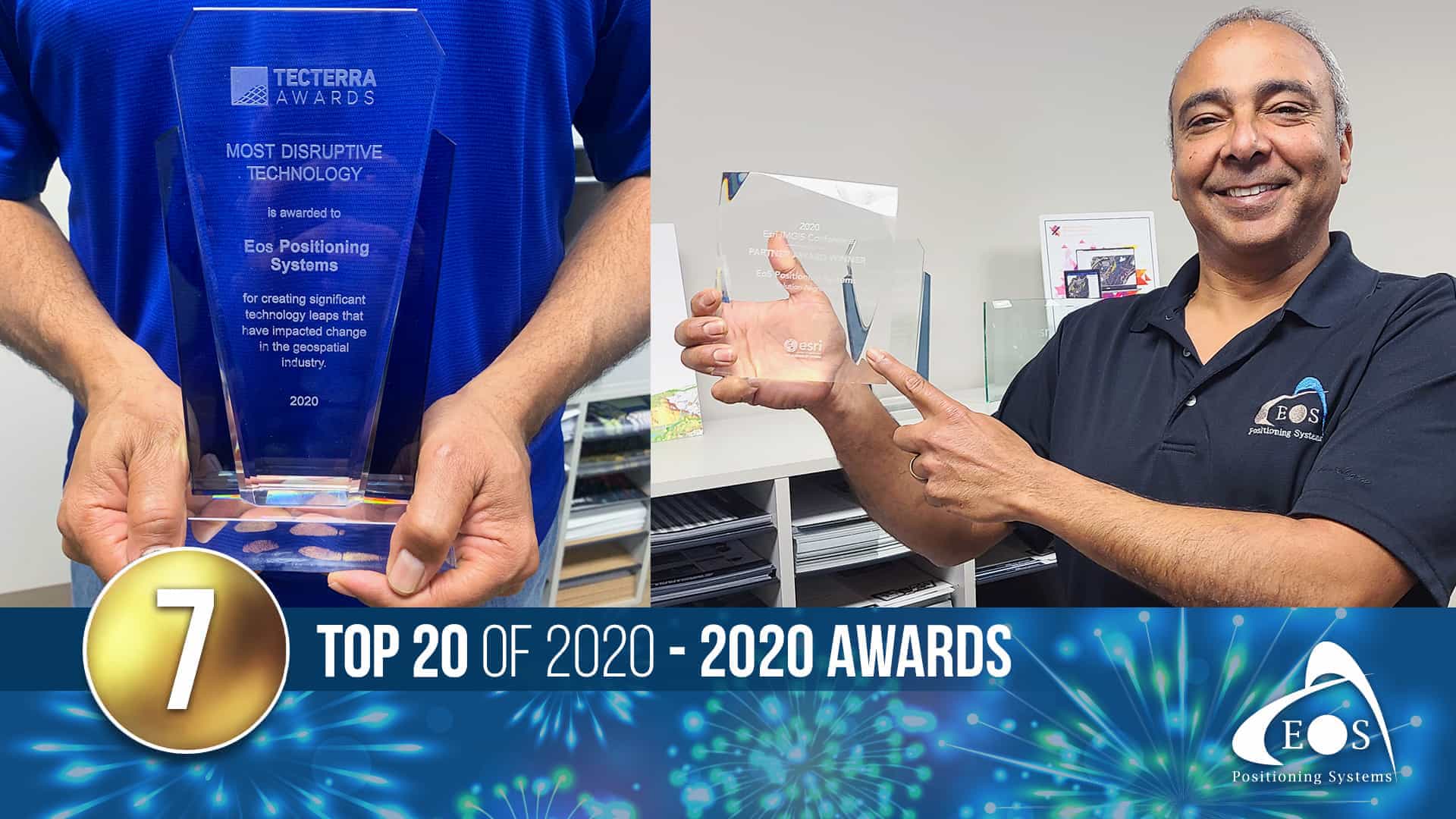
7) 2020 Awards and Honors for Eos
Eos was honored to receive multiple awards this year! In October, Eos received a 2020 Esri IMGIS Award for Solution Alignment. We‘re proud to provide our joint customers with seamless high-accuracy locations in Esri mobile apps. Additionally, in September we were honored to be chosen as the 2020 “Most Disruptive Technology” winner by TECTERRA! We constantly strive to innovate for our users, so this award is truly an honor. Our team will display both awards with pride in our Montréal office!
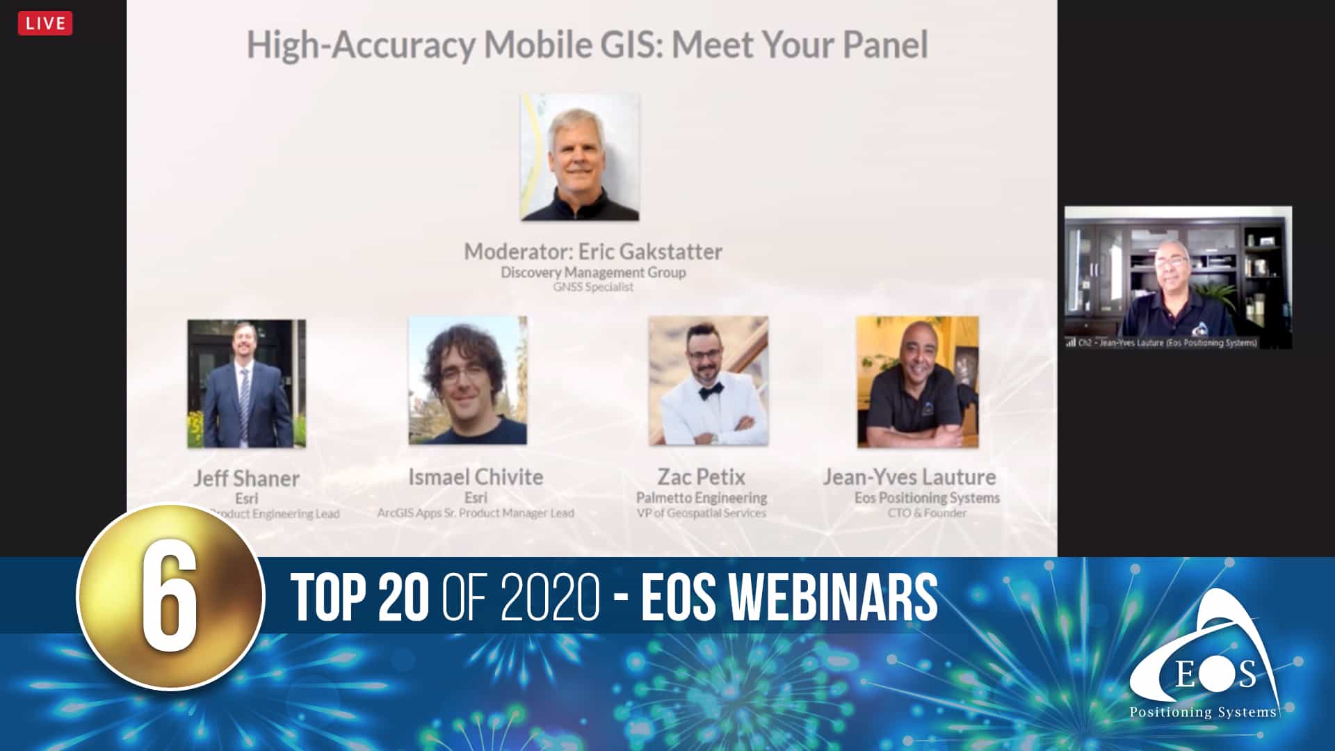
6) 2020 Webinars (in general, and specifically)
With social distancing practices in place, the GNSS and GIS community had to get creative to stay connected this year. Webinars and online sessions became the new norm for 2020. Eos was thrilled and proud to see so many of our amazing customers step up to provide digital presentations of their work. From live data-collection demos to in-depth stories about finding what works, these webinars provided invaluable insights into mobile GIS workflows to people across the world. Click the links below to explore a few of our favorite virtual presentations from 2020!
- Capturing Hard-to-reach Assets with Decimeter Accuracy (DDSI)
- Supporting Daily Workflows with GIS & GPS (Oldham County Water District)
- Arrow 100 for Australian Heritage Management
- Optimize Field Activities with City of Santa Barbara
- Arrow Gold and ArcGIS QuickCapture for Efficient, Centimeter-Level GPS Data Collection and Management on a Vineyard
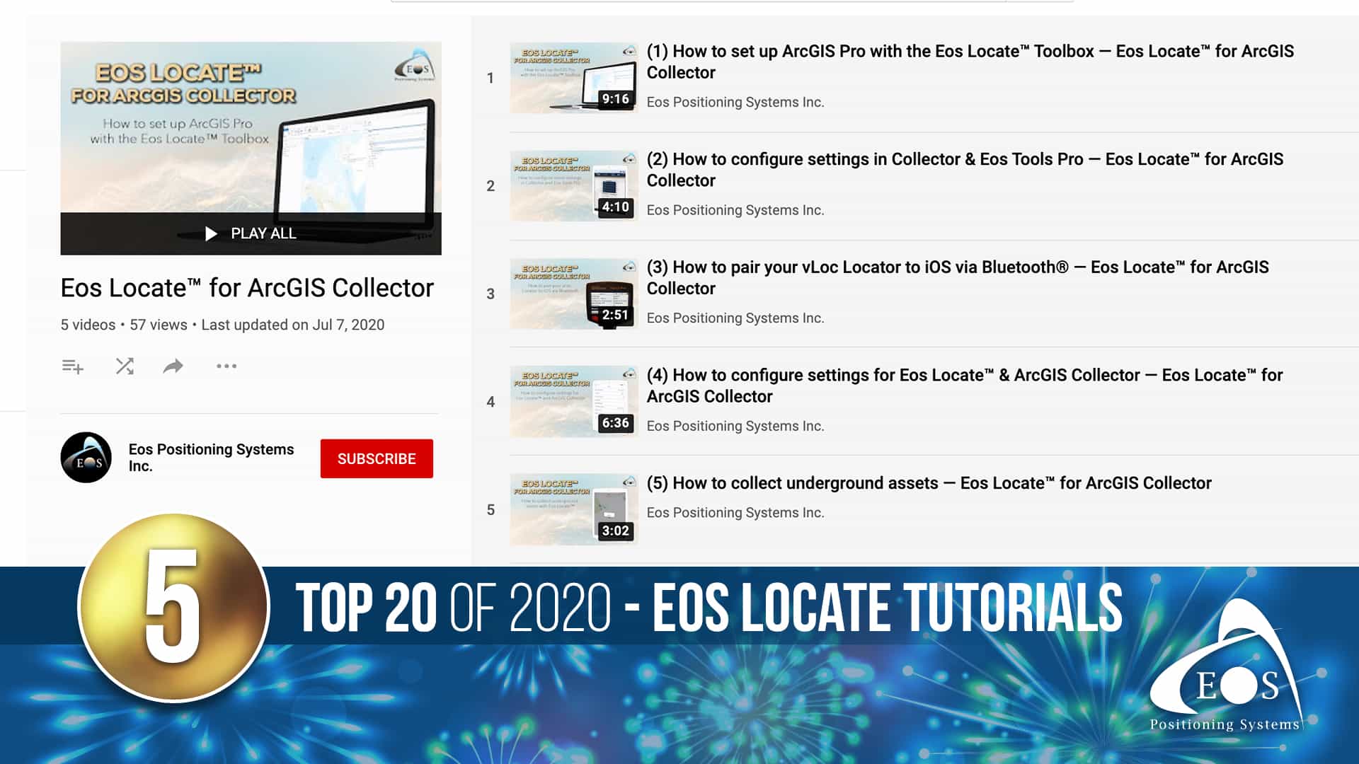
5) Eos Locate video tutorials
Here at Eos, we want to equip you with all the tools for success. That’s why this summer, we released a video tutorial series on one of our most popular solutions — Eos Locate™ for ArcGIS®! This five-part series marked the beginning of many upcoming video resources for our customers. If you need to map existing, buried utility assets for use within Esri ArcGIS, and accuracy is of importance to you, this is everything you need to get started collecting location data.
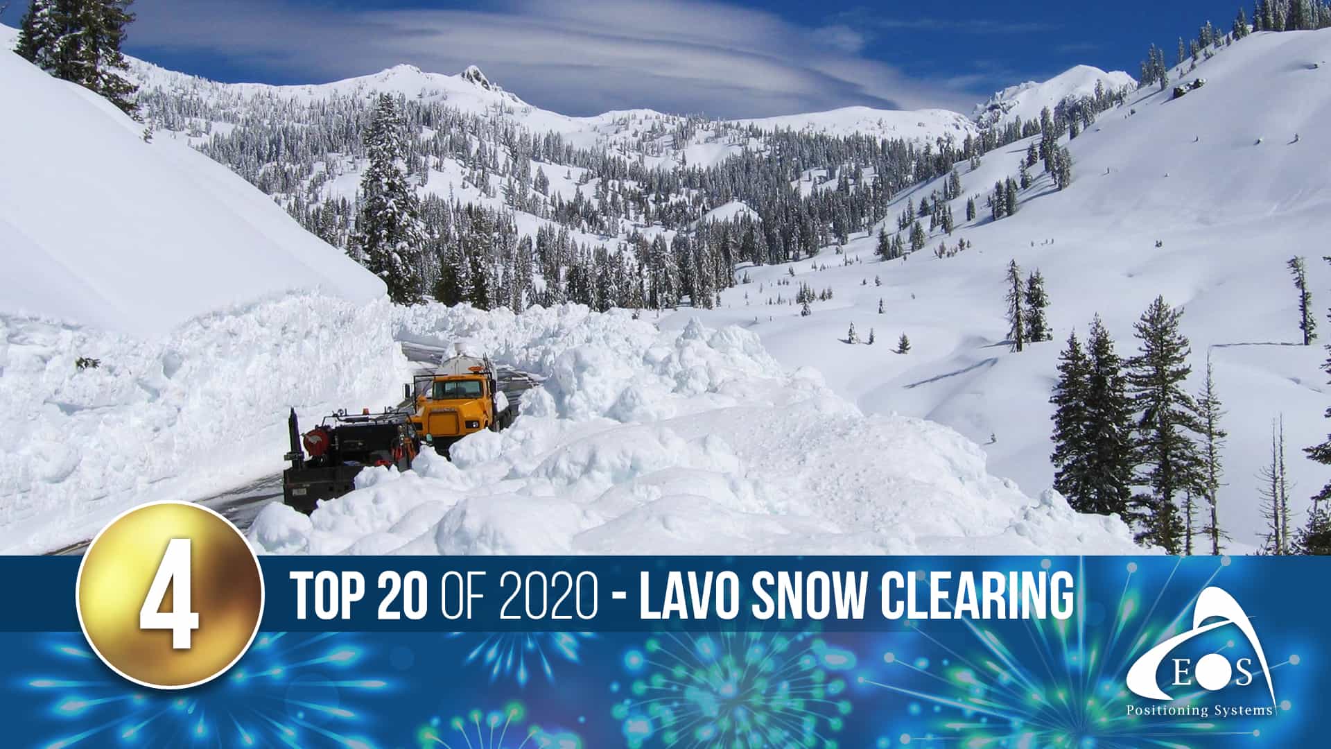
4) Lassen National Volcanic Park success story
Winter storms pile as much as 40 feet of snow onto Lassen Volcanic National Park’s Route 89, an unmarked alpine road. To plow it, field crews need precise maps—and a little bit of faith. This incredible winter story explored how the National Park Service used Arrow Gold RTK and ArcGIS Collector to map the roads buried beneath the snow.
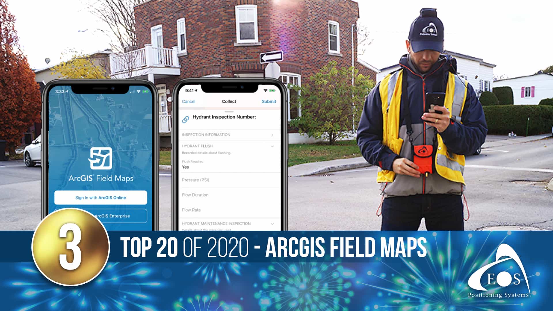
3) Esri releases ArcGIS Field Maps: Here are a few of our favorite things about Field Maps
When a new data-collection app gets released, the Eos technical team is always eager to get their hands on it to learn all the details! That’s why when Esri released ArcGIS Field Maps in October, Eos quickly released a list of our favorite resources to share with our users. This article includes a timeline of announcements, app links, helpful migration guides from Esri, information on your Arrow GNSS compatibility and more!
Additionally, we at Eos are so excited for the endless possibilities that Field Maps offers our joint customers with Esri. We look forward to sharing future case studies with this new technology! If you haven’t already done so, subscribe to our monthly newsletter for more partner and product updates, announcements, and resources in 2021.
2) City of Sarasota success story
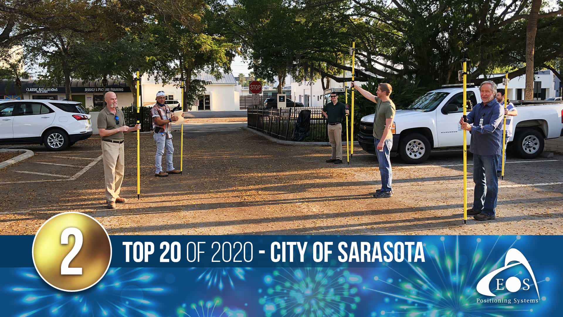
As COVID-19 struck Florida, the daily workload of many city employees waned. The City of Sarasota quickly took action. The city’s IT team proposed a creative way to keep employees busy, and as a result launched a field mapping project. They trained idle workers in GIS data collection and took ArcGIS Collector to the streets, capturing vital data while social distancing! This story was shared widely as an example of the creative ways GIS users are innovating in 2020.
1) Eos Virtual Booth
When Eos found out the 2020 Esri UC was going virtual, we were determined to give visitors an exciting high-tech experience! Thus, the 2020 Eos virtual booth was born. Complete with fully interactive 3D models, video tutorials and a live Zoom meeting room with our GIS representatives, this was a booth to remember.
Miss out on the 2020 Esri UC? No worries! Expo hours may be closed for the holidays, but our virtual booth is always open!

