In this video, we’ll test Galileo HAS’s accuracy and convergence time in Phase 1 with the Eos Arrow Gold+ GNSS receiver.
In this video, we’ll test Galileo HAS’s accuracy and convergence time in Phase 1 with the Eos Arrow Gold+ GNSS receiver.

Download the comparison matrix for Skadi Series™ GNSS receivers. Compare categories such as corrections sources, accuracy levels, battery autonomy, advanced features, and more.

Download the comparison matrix for all Eos GNSS receivers from the Skadi Series™ and Arrow Series®. Compare categories such as corrections sources, accuracy levels, battery autonomy, advanced features, and more.

Download the Skadi Smart Handle™ datasheet to view technical specifications including power consumption, laser specifications, compatible Skadi Series™ GNSS receivers, and more!

In this recorded session among thought leaders, Eos CTO Jean-Yves Lauture shares his team’s initial results from testing Galileo HAS with an Arrow Gold+ GNSS receiver around the world.
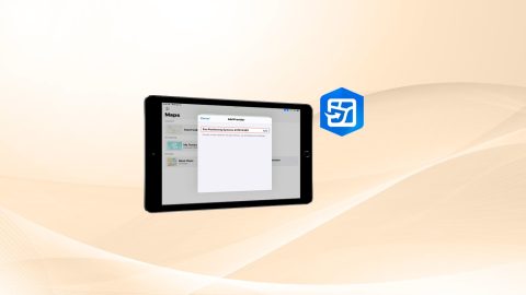
This article provides step-by-step instructions for setting your Eos GNSS receiver as the location provider in ArcGIS Field Maps on iOS devices.

What causes GNSS error? In part 2 of our educational series, learn how error is introduced into all GPS technologies, and how you can take steps to mitigate this error.
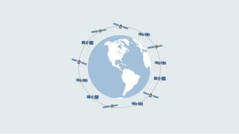
Discover how GPS and GNSS technologies enable the calculation of positions on the surface of the planet.

This MDM guide will walk you through how to configure common Eos Tools Pro settings for multiple field workers across an organization. Includes sample code.

Follow this article to create an ArcGIS web map from scratch with the correct settings for Eos GNSS receivers and related metadata.