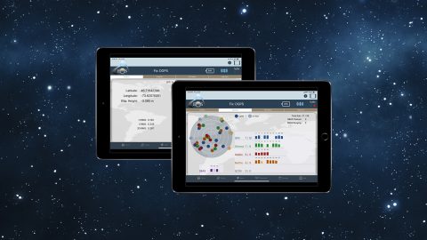
Run multiple Esri mobile apps on iOS while concurrently consuming Arrow GNSS location metadata. This guide will show you how (for iOS only).
Run multiple Esri mobile apps on iOS while concurrently consuming Arrow GNSS location metadata. This guide will show you how (for iOS only).
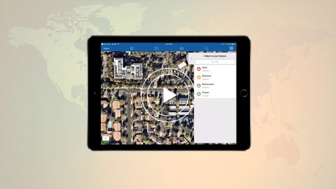
In video 4 of the Eos Locate underground mapping tutorials, you’ll learn how to configure mobile app settings for Eos Locate and ArcGIS Collector.
High-accuracy data collection has come a long way since the USA launched the first GNSS constellation, GPS, in the 1970s. Today, all you need to get started with submeter or centimeter data collection is a smart device, a collection app, and a GNSS receiver that works with both.
Why Doesn’t My GPS Data Line up with My GIS? Eos explains common challenges to GNSS workflows on any device, and what to do to fix them.
This article shows you how to use the four constellations for sub-meter GNSS mapping with Arrow. Using GPS, Glonass, Galileo, and BeiDou increases accuracy.
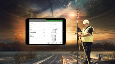
Learn how to create your ArcGIS organizational account, build & share web maps, collect & edit features and attributes in Collector, and use your Arrow GPS.