Feature Story
Scion Field Crews’ Data Collection Three-to-Five Times Faster with SouthPAN (and Eos GNSS Receivers)
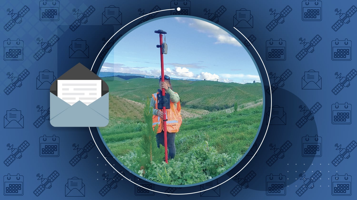
Accurate mapping is crucial for modern forestry operations, but traditional GPS often lacks the precision needed for tasks like defining forest boundaries and managing environmental zones. The Southern Positioning Augmentation Network (SouthPAN) addresses this issue by enhancing GNSS accuracy to less than a meter in New Zealand and Australia.
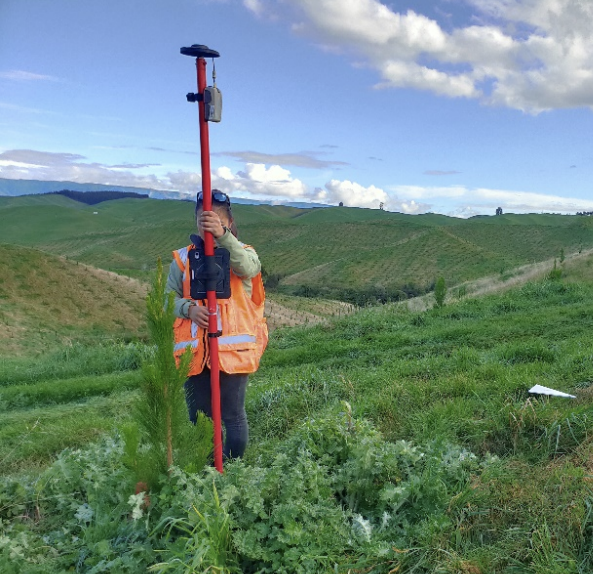
Scion, a leading forestry research institute, has adopted SouthPAN to improve its data collection and management. By using SouthPAN with Eos GNSS receivers and UAVs, Scion has achieved faster data collection, reducing point acquisition times from three minutes to 20-30 seconds. They’ve also been able to more accurately monitor forest inventory, pests, and diseases and better manage nurseries and seedlings.
Learn how Eos GNSS receivers and SouthPAN work together to empower Scion toward their goal of precision forestry.
Industry News
Page Bloomer significantly boosts efficiency with SouthPAN
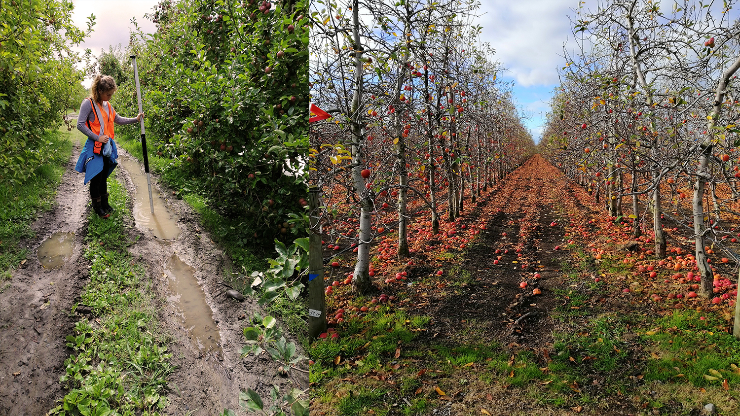
Page Bloomer, a New Zealand land management consultancy, has also enhanced its efficiency with SouthPAN. When used with an Eos GNSS receiver, SouthPAN may improve GNSS accuracy to as precise as 10 cm, making it ideal for precision agriculture tasks. This has significantly benefited Page Bloomer by allowing precise location tracking, infrastructure mapping, and efficient site management. With SouthPAN’s integration, Page Bloomer can now accurately identify and manage specific points in large research areas; map and record infrastructure for easier maintenance; reduce costs through free, high-accuracy corrections; and more.
Learn how SouthPAN has streamlined Page Bloomer’s operations and helped support their goal of advancing sustainable agricultural practices here.
Al’s Corner: Technical Tips
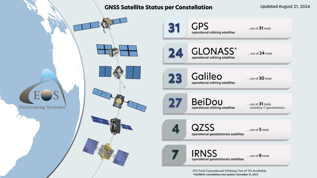
Current GNSS Satellite Status for August 21, 2024:
Customer Spotlight
Ryan Key Streamlines Utility Network Migration with High-Accuracy GNSS
Ryan Key, GIS Manager at Evansville Water and Sewer Utility (EWSU), has been instrumental in modernizing the utility’s data management since he joined in 2018. Under his leadership, EWSU transitioned from the Geometric Network to the ArcGIS® Utility Network, revealing the need for significant re-mapping due to inaccurate existing data and challenges in asset location during maintenance.
Learn how Ryan addressed these issues and drastically improved the accuracy and efficiency of EWSU’s maintenance and inspections.
Upcoming Events
2024 KRWA Annual Conference
Aug. 27-28 | Kentucky, USA
Eos is excited to see you again at the Kentucky Rural Water Association event in Lexington. Find us with Esri in booth #409 and ask us how to obtain centimeter-level accuracy in your mobile maps!
2024 AGIC Annual Symposium
Aug. 28-30 | Arizona, USA
Are you ready to learn how to use free RTK corrections in Arizona to obtain centimeter-level accuracy statewide? Then don’t miss the presentation from authorized Eos representative Isaiah Mack! Plus, find Isaiah in the expo area.
2024 WaterPro
Sept. 9-10 | Georgia, USA
Eos is back at WaterPro with Esri! Don’t miss the opportunity to get your hands on a real Skadi Series™ GNSS receiver as well as receive free training. Our two-hour mobile-mapping workshop starts 1p.m. Monday, Sept. 9, and is free for all registered event attendees.
2024 MISA Prairies
Sept. 10-11 | British Columbia, CAN
Eos is a proud sponsor of the MISA Prairies event. Drop by our booth to learn about the latest innovations in mapping for municipal professionals like you across Canada.
2024 GeoData Days
Sept. 19-20 | Nantes, France
Eos is excited to support the annual GeoData Days event in France. This year, join us in Nantes for the French reveal of the Skadi Series™ GNSS receivers, designed to make your mobile mapping projects efficient, safe, and affordable.
2024 INTERGEO
Sept. 24-26 | Stuttgart, Germany
INTERGEO is back in Stuttgart, and so is Eos! Find our booth in Hall #5 and discover what’s new from our Montreal team. The Eos booth will have representatives from around the world to answer regional questions.
2024 GIS in the Rockies
Sept. 26 | Colorado, USA
Ready to rock? Find our authorized Eos representative at GIS in the Rockies in Denver. Our team will be available in the expo area to answer all questions about high-accuracy GIS mobile mapping.

