Feature Story
Trail Mapping at Tuckahoe State Park
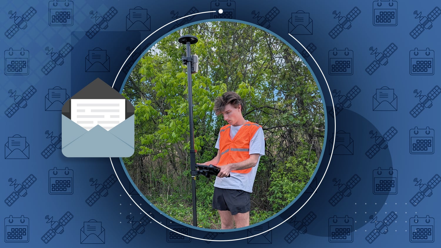
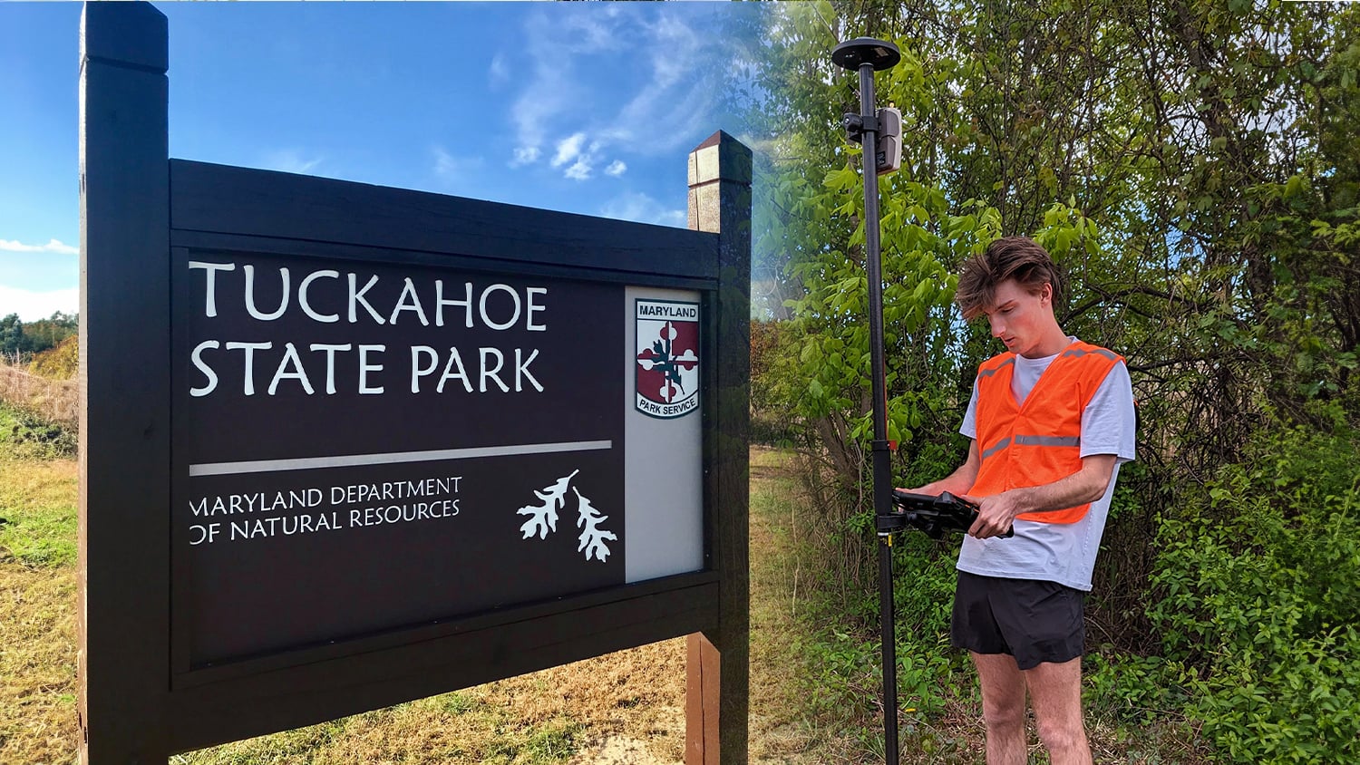
Washington College’s Geospatial Innovation Program (GIP) recently collaborated with Maryland’s Tuckahoe State Park to update its outdated trail maps. Led by GIS and Cultural Resource Specialist Madison Kaye, the project provided students with real-world experience mapping the park’s 19 hiking trails using advanced GIS technology. The GIP team created both printed and digital maps, ensuring accuracy with a precise Eos GNSS receiver. The updated maps, praised as “beautiful” by park staff, will be available to visitors both in print and online. This partnership reflects the college’s commitment to community engagement and practical learning.
Industry News
Small Water District Achieves Compliance and Improves Operations
By ArcUser
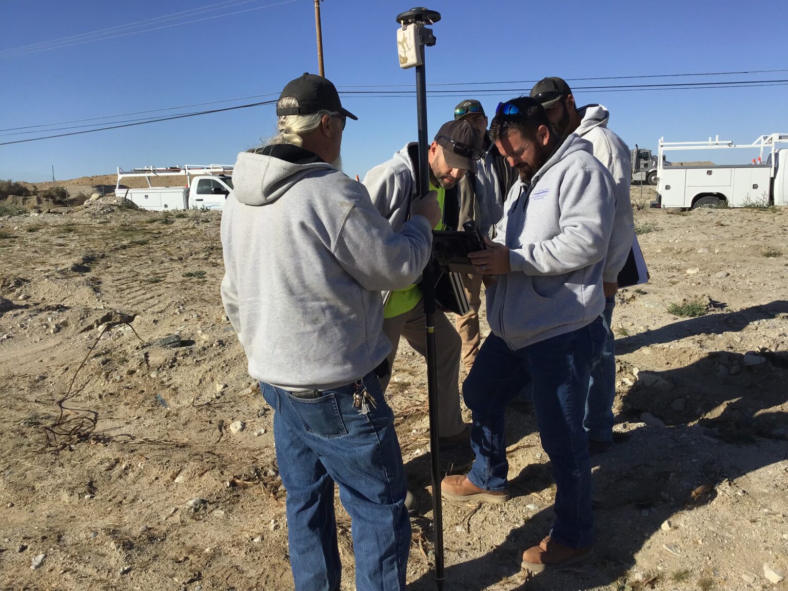
In 2022, the Littlerock Creek Irrigation District (LCID) in California began developing a new GIS program that would allow the district to comply with new state requirements while building an asset locations database and sharing location information with its operations staff. They used Eos GNSS receivers.
Al’s Corner: Technical Tips
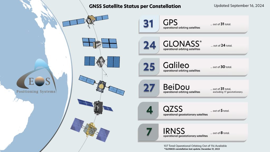
Current GNSS Satellite Status for September 16, 2024:
Customer Spotlight
Aaron Krohn Future-Proofs Utility Operations with GNSS
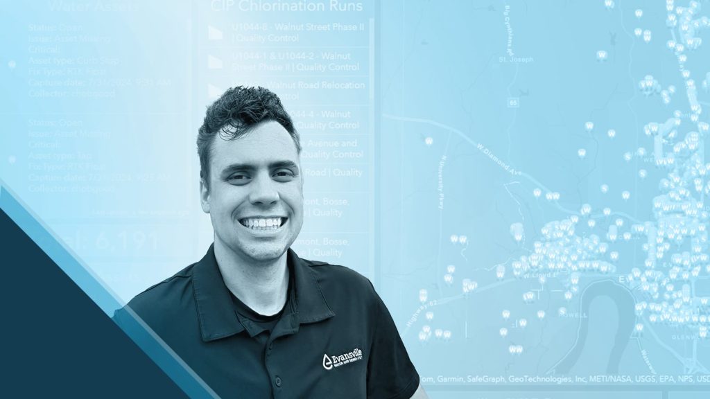
GIS Technician Aaron Krohn improves utility operations at Evansville Water and Sewer Utility (EWSU) with location technology. By integrating Eos GNSS receivers with ArcGIS Field Maps, Krohn and his team ensure real-time, high-accuracy mapping of assets, including valves, hydrants, and meters. Krohn takes pride in training field crews and improving customer service with streamlined field work.
Upcoming Events
2024 INTERGEO
Sept. 24-26 | Stuttgart, Germany
INTERGEO is back in Stuttgart, and so is Eos! Find our booth in Hall #5 and discover what’s new from our Montreal team. The Eos booth will have representatives from around the world to answer regional questions.
2024 GIS in the Rockies
Sept. 26 | Colorado, USA
Ready to rock? Find our authorized Eos representative at GIS in the Rockies in Denver. Our team will be available in the expo area to answer all questions about high-accuracy GIS mobile mapping.
2024 WEFTEC
Oct. 7-9 | Louisiana, USA
WEF are you waiting for? Visit Eos at WEFTEC in New Orleans. We’ll be in the Esri booth (1529) and eager to discuss all things GNSS / mobile accuracy for your GIS needs.
2024 Latornell Conservation Symposium
Oct. 8-9 | Ontario, CAN
Will you be in Ontario next month? Join Eos at the Latornell Conservation Symposium for this two-day event! Our staff will be on hand to explain what GNSS options are available for your conservation field work.
2024 Esri France SIG
Oct. 9-10 | Paris, France
Voulez-vous utilizer le GPS en France? Eos is pleased to return in person to the Esri France SIG annual conference. Join our Director of Sales (France) in Paris for an opportunity to discuss easy-to-use, affordable GPS! Also, be sure to attend our customer presentation from the team at Cergy-Pontoise Agglo.
2024 Esri IMGIS
Oct. 22-23 | California, USA
Esri IMGIS is BACK! Join the Eos team in Palm Springs for an exclusive look at how the new Skadi Series GNSS receivers are revolutionizing asset mapping in the field. Add our customer presentation about improving location data for the Utility Network to your schedule, and find our team in booth #100 to discuss your needs!

