Feature Story
/// New Jersey City Ditches Paper Maps for High-Accuracy GIS
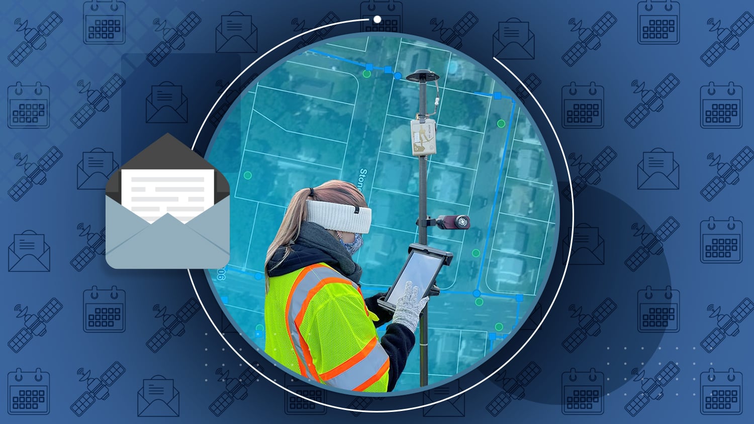
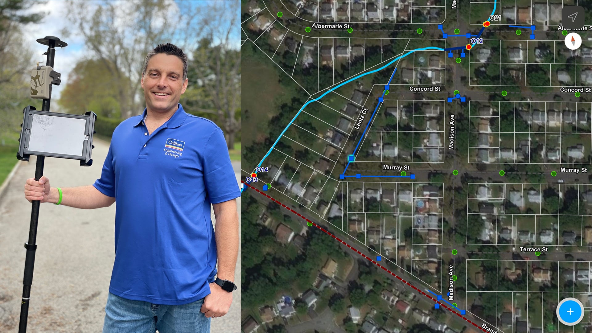
About 22 miles southwest of New York City, 30,000 residents call Rahway, New Jersey, home. Until recently, the city’s engineers would capture sanitary sewer and stormwater system utility data in paper flat files, which over time became difficult to update, maintain and share. With a vision toward creating an enterprise GIS, the city embarked on an initiative to digitize and streamline both internal and external information requests. Today, the city has been to capture all existing asset locations in real time with survey-grade accuracy, while developing a workflow with third-party contractors for capturing new installations. See how Rahway has transformed its data-capture and sharing methods using Arrow Gold, ArcGIS Field Maps, and ArcGIS Survey123.
Industry News
Protecting an Endangered Ecosystem
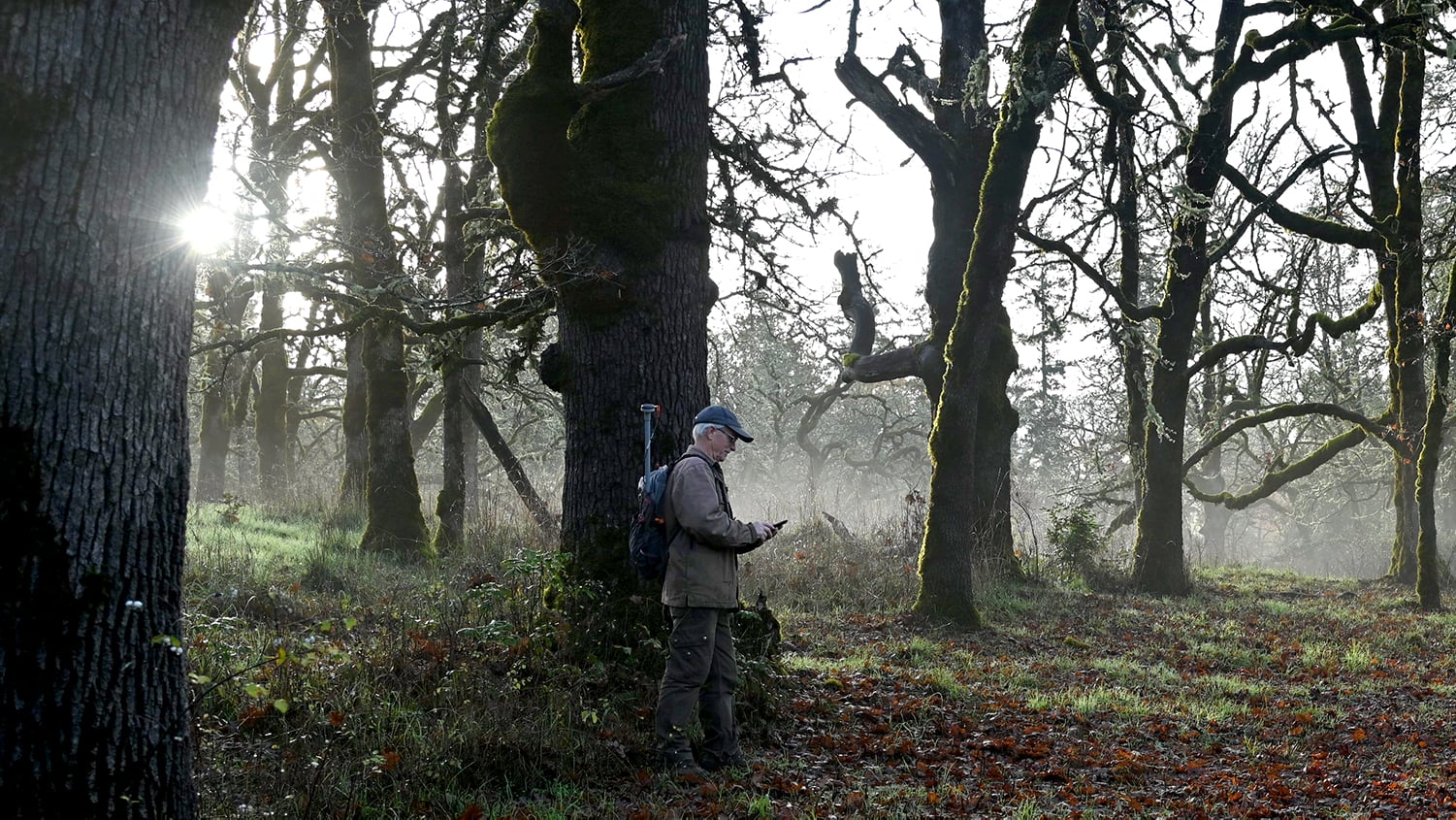
The Garry oak tree enables an ecosystem filled with 100+ unique and endangered plant and flower species. The Nature Conservancy of Canada uses high-accuracy GNSS to help preserve and monitor these trees, the ecosystems they anchor, and the endangered species contained therein
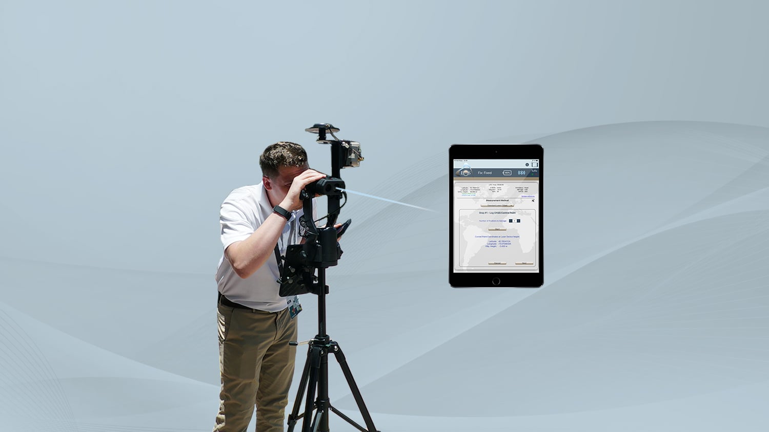
Eos Releases Eos Laser Mapping™ on Android
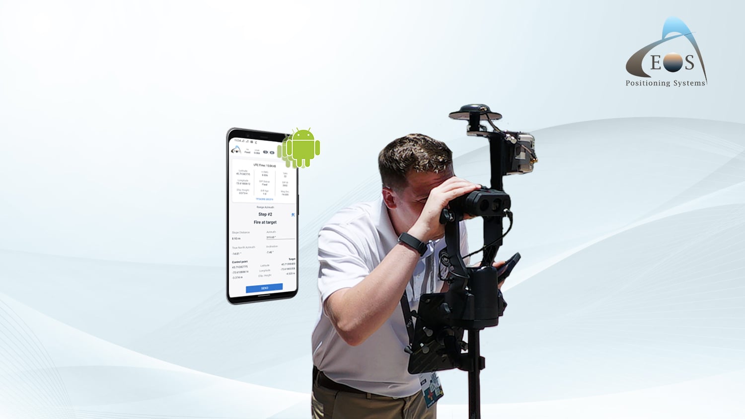
Eos is proud to announce the release of Eos Laser Mapping™ for ArcGIS on Android! Three laser mapping workflows are now available. The solution is free to those who own the required hardware and software.
10 Canadian Organizations Using High-Accuracy GNSS for Mobile Mapping
Canadian organizations across many varied sectors are achieving quantifiable ROI and qualifiable value from recent adoptions of high-accuracy GNSS.
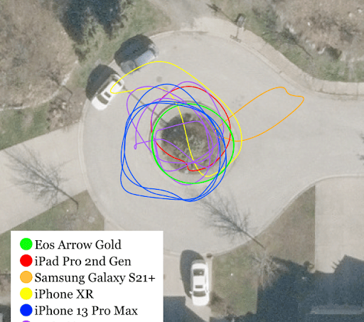
Testing GNSS receiver with FME AR
By Dmitri Bagh, Safe Software
Safe Software’s team has been testing GNSS receivers with their FME AR app. In this blog post, Dmitri Bagh presents his accuracy findings and key takeaways.
Innovations in GNSS
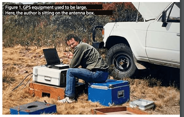
By Peter Terrett, 4D Global
Join Peter Terrett on a journey through advancements that have led us to today’s unparalleled access to GNSS accuracy and performance, including evolution in mobile devices, receivers, SBAS and more!
Making Infrastructure Customers Successful
By Esri
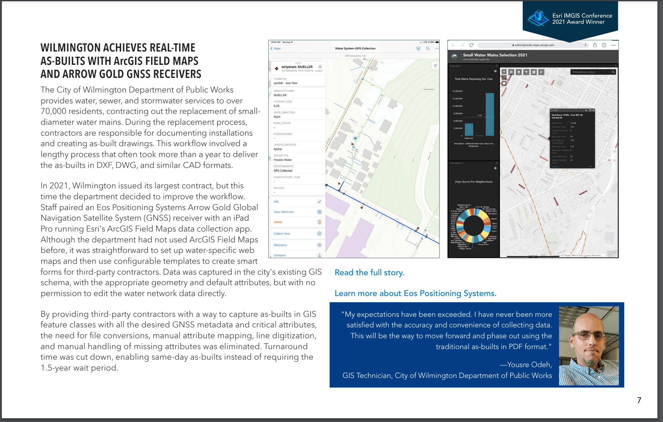
Did you see this new ebook from Esri? Increasingly, infrastructure teams (including Arrow users at Wilmington and Arcadis) are using maps to improve all areas of work. See how by downloading your copy.
Al’s Corner: Technical Tips
Starter Guide to Range-Backsight Laser Mapping Method
Have you ever wished you could stay in one spot and map all your assets? With the Range-Backsight laser mapping method, you can. Learn everything you need to know about our most efficient and most accurate Eos Laser Mapping™ method.
View the Complete “Starter Guide to Range-Backsight Laser Mapping” >
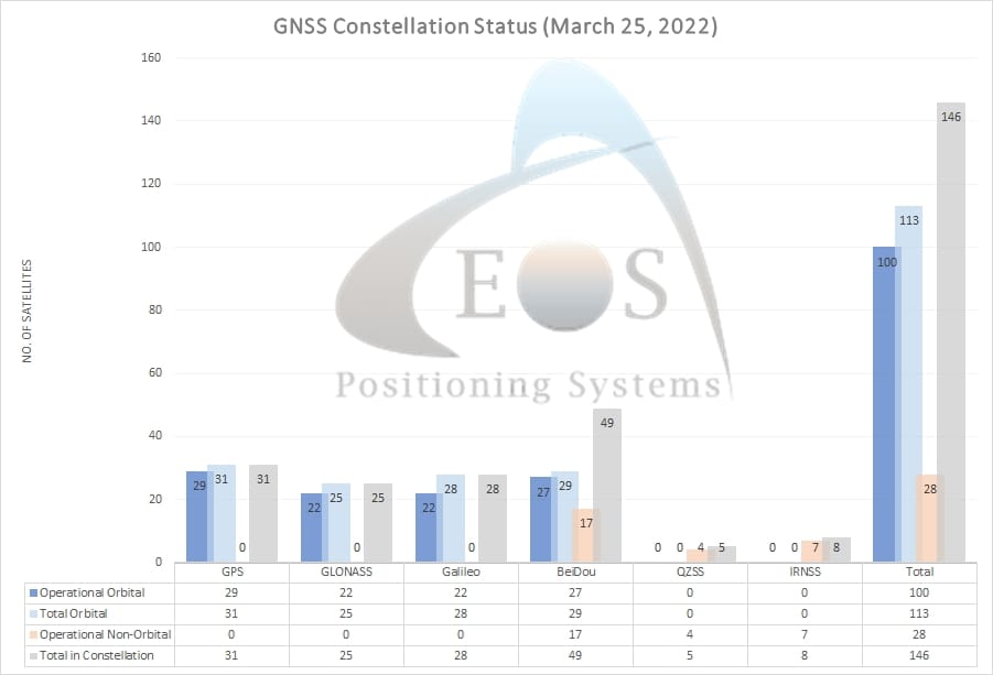
Current GNSS constellation status for March 25, 2022:
Customer Spotlight
Customer Spotlight: Summer Roberts Pairs Wine with Maps
Did you know GIS might be behind your glass of wine? Learn how Summer Roberts uses GNSS and her love of foodservice to map vineyard properties in California!
Upcoming Events
Texas RuralWaterCon
April 6-8 | Round Rock, TX
Join Eos and Esri at RuralWaterCon in Round Rock, TX. Our mobile mapping experts will see you at the bowling social and be available to answer any GIS and GNSS questions at the booth.
TNGIC
April 13-14 | Burns, TN
Join an Eos representative at the TNGIC event in Burns, TN. Ask our GNSS expert all your high-accuracy mapping questions.
Virginia Rural Water Association
April 25-27 | Roanoke, VA
Join an Eos representative at the VRWA event in Roanoke, VA. Ask our GNSS expert all your high-accuracy mapping questions.
California Rural Water Association
April 27 | Lake Tahoe, NV
Join Eos and Esri at the CRWA event in Lake Tahoe, NV. Join mobile mapping experts from both companies for a free 3-hour, hands-on training workshop.

