Browse the latest news from Eos about our company, products, partnerships, and more.
October 26, 2021
Eos received a 2021 IMGIS award from Esri for "Solution Alignment: Mobile," recognizing its partnership in high-accuracy GIS for infrastructure customers.
September 14, 2021
Eos announced it is now certified on the U.S. Federal Contractor Registration’s (USFCR) System for Award Management (SAM) for NDAA 2019, Section 889.
August 30, 2021
Eos achieved Gold Tier status in the Esri Partner Network, recognizing a new level of commitment toward furthering high-accuracy location technology among GIS professionals worldwide.
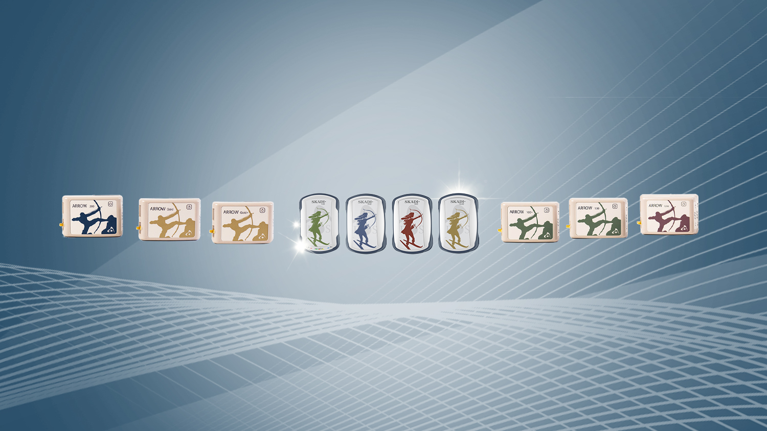
July 25, 2021
The Arrow Gold+™ and Arrow 100+™ plus models build upon the company’s highest-demand, standard GNSS receiver models but offer even more value.
June 3, 2021
The Eos Bridge™ makes virtually hundreds of instruments compatible for the first time with iOS via Bluetooth®, for use with Arrow GNSS.
December 21, 2020
The Arrow bundle allows GIS users in the U.S. to combine the purchase of any Eos Arrow Gold® or Arrow 100® receiver with Esri software licenses.
November 5, 2020
Field workers may now consume Arrow GNSS location data in multiple Esri apps concurrently, thanks to Eos Tools Pro's new TCP/IP protocol.
Eos Positioning Systems announces compatibility of Eos Locate™ for ArcGIS® with Subsite® Electronics
September 15, 2020
The long awaited Eos Locate™ Subsite® integration is finally here. Map underground assets using Arrow GNSS, ArcGIS, and Subsite electronics.
August 24, 2020
Eos Tools Pro v.1.89 makes Eos Locate™ for ArcGIS® (underground mapping) and Eos Laser Mapping™ immediately available for use w/ Field Maps beta.
June 25, 2020
Collect high-accuracy data with the July 2020 Esri beta release of ArcGIS Field Maps. ArcGIS Field Maps Supports High-Accuracy Arrow GNSS receivers.
June 23, 2020
Eos Tools Pro for Windows makes user and developer GNSS features available (e.g., RTK/NTRIP connection, in-field orthometric heights, virtual Com Port).
October 29, 2019
Map underground assets with submeter or centimeter accuracy using ArcGIS on iOS. For water, electric, fiber, gas, and other underground infrastructure.