Browse the latest news from Eos about our company, products, partnerships, and more.
September 23, 2019
Use ArcGGIS QuickCapture GNSS receiver features with Arrow GNSS, including on iOS/Android/Windows. Capture highly accurate locations up to 20 times/second.
May 14, 2019
Eos provides rural electric cooperatives with cross-platform compatible GPS/GNSS receivers through its NRECA associate membership.
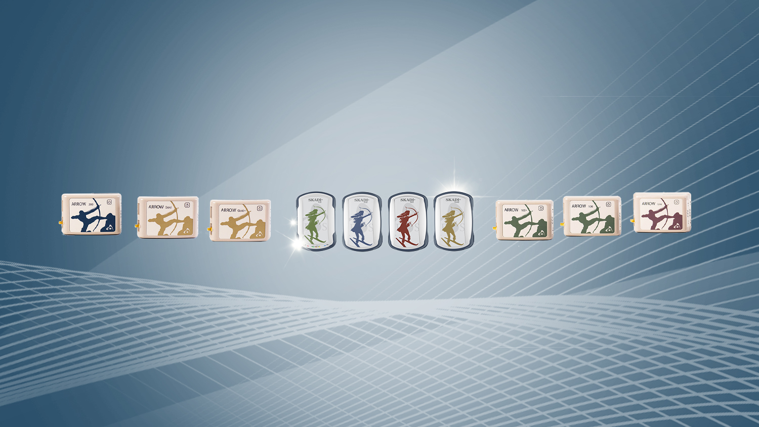
March 27, 2019
Eos released two New Versions of Eos Tools Pro with support for Australia, Brazil and Swedish GEOID models, with updates for Battery Status Monitor.
March 7, 2019
The 2019 Esri Partner Conference Award for “Energizing the Market with a Bundle” recognizes Eos’ integration of Arrow GNSS receivers with Esri mobile apps.
October 29, 2018
You can now use your Arrow GNSS receiver with any data collection software in the world, and benefit from accurate orthometric heights.
October 23, 2018
The Eos Arrow Gold® helps Haiti Outreach acquire accurate subfoot elevations, required for hydraulic modeling. Haiti is one of the poorest nations.
July 6, 2018
Eos, Esri & LTI released the world's 1st laser mapping solution that lets crews capture accurate coordinates in GNSS-impaired environments using ArcGIS.
June 21, 2018
Community Water System of Arkansas won a complete mapping kit including an Arrow 100® submeter GNSS receiver and 1 year subscription to ArcGIS at AWWA ACE.
June 5, 2018
Esri recognized Eos as an ArcGIS Online Specialty Partner for its expertise in GNSS solutions for Esri mobile apps including Collector and Survey123.
May 29, 2018
Eos and Futura customers can use FuturaPro Stake on iOS to perform real-tme cm staking work in the field, in house, on commercial smartphones and tablets.
May 15, 2018
Eos and CartoPac customers can use smartphones and tablets to collect survey-grade data in the field for more accurate GIS-based asset management.
October 11, 2016
The Arrow Gold® RTK GNSS receiver is at the time of release, the world's most advanced RTK Bluetooth® GNSS receiver for any consumer mobile device.