Water, Water, Where?
WaterOne serves a 272-square-mile area on the Kansas side of the Kansas City, Missouri, metropolitan area, which has a population of 420,000, 145,000 metered accounts and 2,685 miles of water pipes. The survey/geospatial staff consisted of three analysts, two editors, one programmer and one GPS collector. By 2016, less than 40 percent of the water features had been captured with GPS.
The staff was using legacy GNSS handhelds — operators had to return to the office every night and physically download their data.
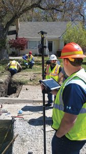
WaterOne turned to a new workflow using Panasonic ToughPad tablet computers and Eos Positioning Systems’ Arrow 200 RTK GNSS receivers mounted on a range pole (see photo)
The Arrow 200 receiver connects to the Panasonic ToughPad via wireless Bluetooth link. The ToughPad has a Verizon SIM card for internet connectivity, used for two purposes:
- Connecting to the Missouri Department of Transportation RTK network to receive RTK corrections for centimeter accuracy;
- Connecting to the WaterOne ArcGIS server in real time from the field.
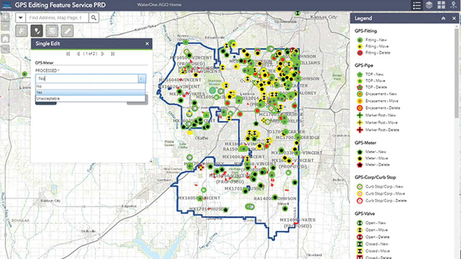
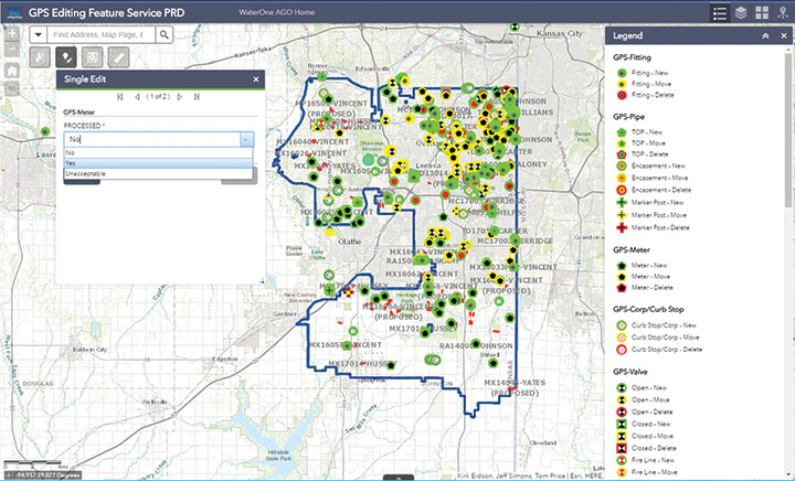
Whenever the field tech collects data, the data syncs up with ArcGIS for Server. This eliminates the task of having to physically download the data at the end of the day.
The new workflow also provides near real-time updates to WaterOne’s geospatial information system. This means that if five techs are in the field collecting data, they can each see the map updated in near real time.
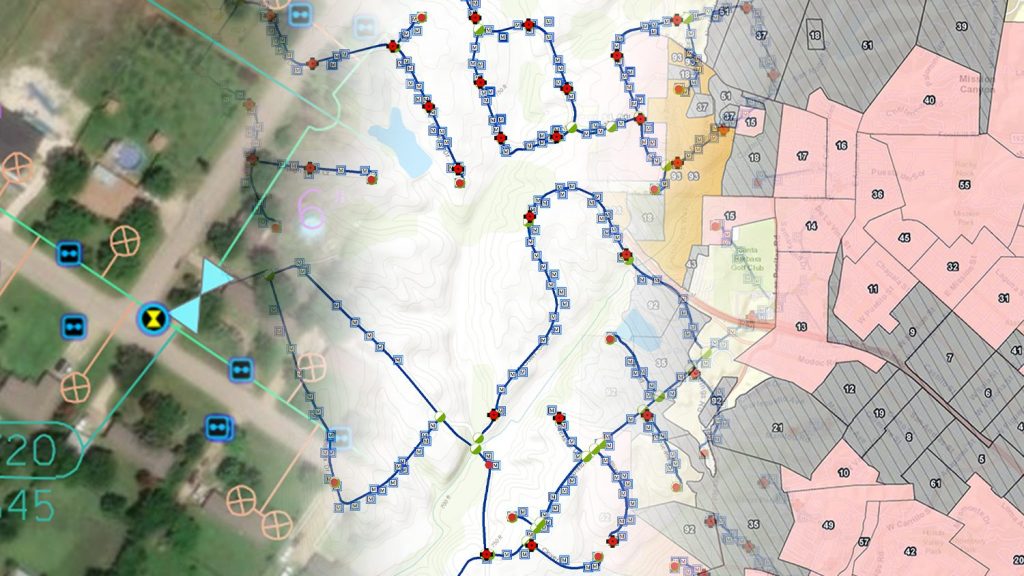
The ToughPad tablets have a large, sunlight-readable 10-inch display. The large displays combined with the new data-collection software allows the field techs to view the entire GIS water system on the tablets. The field tech can now “see” all of the water system assets — pipes, valves, fittings, hydrants — around them. This significantly improves productivity over the legacy GNSS handhelds.
Street maps and aerial photos were loaded on the ToughPad to give the field techs a choice of background data to view.
The result? Compared to the 1,767 GPS points collected in 2016, the WaterOne team has collected 5,770 just in the first four months of 2017.
This story was originally published in GPS World.
Download a PDF of this article in ENGLISH.

