For Alex Cassidy‑Neumiller, each day in the field offers a rare window into the past — glimpses of the people, places, and stories that shaped Ontario long before modern society took root. As Founder and CEO of Brantford‑based Apex Archaeology, Inc., Alex leads a team dedicated to responsible, evidence‑driven archaeology across the province. His work is grounded in curiosity, guided by provincial heritage regulations, and powered by the belief that every site has a story worth preserving.
To document archaeological features, record site conditions, or capture the precise location of an artifact, Alex relies on a geospatial toolkit built for accuracy and adaptability. Mobile mapping applications, a range of smartphones and field gear, and Eos Positioning Systems GNSS receivers help him prepare for the unpredictable rhythms of field work. Whether navigating a densely wooded property with a handheld setup or surveying open terrain with a range pole, Alex’s workflow is designed to shift seamlessly as conditions change.
In this customer spotlight, Alex shares how the flexibility of Skadi 100™ GNSS receiver supports his work across varied environments — and how precision positioning helps bridge the gap between the past and the present, one site at a time.
1. Why are you passionate about your job?
I enjoy getting glimpses into the past through the materials we encounter while carrying out our work. We constantly learn something new about a particular area or property in this job, which always keeps things interesting. Being able to engage with and positively impact the cultural heritage of the Province of Ontario is a great privilege and something that I take seriously — but also seriously enjoy.

2. How did you first find out about Eos Positioning Systems’ GNSS products?
I first found out about Eos Positioning Systems’ GNSS products by doing a simple online search.
3. What do you use Eos GNSS products for?
We use Eos GNSS receivers for our archaeological field work. We record a variety of locations in the field, including photo locations, existing property conditions, artifacts, and archaeological sites.

4. Do you have a favorite experience or memory from your projects with Eos hardware?
The adaptability of the device is what most often comes to mind. I appreciate being able to quickly transition from using it with one person’s phone to another person’s and being able to transition from using it as a handheld device while fieldwalking to using it on a pole in a few moments. We often need to quickly transition in the field, and the Skadi 100 makes this very doable.

5. Do you have a favorite feature of Eos GNSS receivers?
Our favorite feature of the Eos GNSS receivers is its compatibility. It is great to be able to easily connect the receiver to a mobile device and then utilize it as a data collector with the improved accuracy in our preferred data collection application.

Explore Related Content
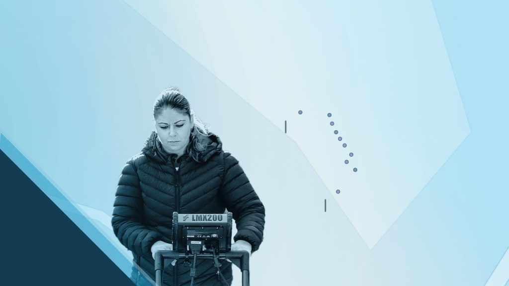
Customer Spotlight: Sarah Beaulieu Honors Indigenous History with GNSS
Learn how Sarah uses GNSS and GPR to map gravesites at Indigenous Residential Schools with precision and respect.

Customer Spotlight: Dr. Kevin Wilcox Captures Antarctic Bathymetry with Extreme Precision and Passion
Join ocean mapping researcher Kevin Wilcox as he captures Antarctic bathymetry using the Arrow Gold+® GNSS receiver with Galileo HAS for extreme precision.