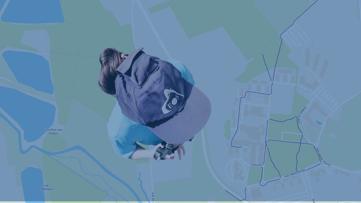
Just north of Paris in Beauvais, France, GIS Engineer Chloé Girka helps turn location data into practical solutions for teaching, research, and campus operations. At UniLaSalle Polytechnic Institute, her work in the Agriculture Department spans a wide range: helping researchers map soil samples and crop growth, supporting drone surveys, supporting campus infrastructure, and contributing data to a campus web map that supports accessibility initiatives.
To support these projects, Chloé manages a variety of geospatial hardware and software. Sometimes she uses technology to teach students, and other times she uses it for her own work on campus. For the accessibility web map, for instance, Chloé combined imagery from a 360° camera with high-accuracy positions from an Eos Arrow 100+® GNSS receiver and various software to create real-world street views of the UniLaSalle campus.
For Chloé, her passion for geospatial technology extends from the classroom, where she teaches students about the fundamentals of positioning, to the field, where she demonstrates how precise location data can support real-world applications across agriculture, environmental science, and beyond.
1. Why are you passionate about your job?
My job as a GIS engineer at the Agriculture Department of an engineering school is anything but boring. One day I am teaching about John Snow’s 1885 cholera outbreak map; the next I am flying a drone or making figures for a scientific paper. I enjoy empowering people by sharing my knowledge and using my skills to create what my coworkers have imagined.
2. How did you first find out about Eos Positioning Systems’ GNSS products?
When I started working at UniLaSalle, one of my missions was to renew our aging GNSS equipment. I compared the products I could find online. Eos Positioning Systems stood out, in part thanks to the thorough specification description. We decided to acquire two Arrow 100+ GNSS receivers.
3. What do you use Eos GNSS products for?
We have a variety of people who use the receivers, for a variety of use cases.
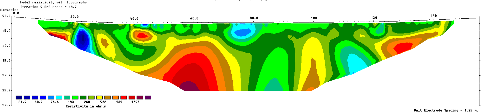
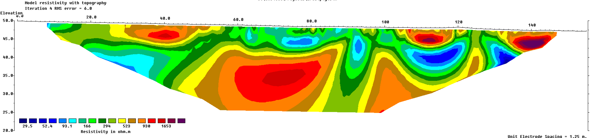
The biggest users of GNSS receivers historically are colleagues from the Geology Department. They need accurate positioning when taking geophysical measurements to study underground structures.
During a recent survey, this team placed a series of electrodes in the ground along a survey line. They then used the Arrow 100+ GNSS receiver to get the exact location and elevation of each electrode. Next, they sent a small electrical current into the ground to measure how underground materials responded. The GPS data helped place their results in the correct real-world locations. It’s almost like taking an “X-ray” of what is underground, with each measurement tied to the exact spot where it was taken, so the final image appears accurately on a map.
In this team, we also use the GNSS to collect ground control points (GCPs) when flying drones that are not themselves RTK-enabled.
Browse Some of the 3D Models Created by the Geology Department:
The Vigny Quarry is a protected site with limited access; thus, this project aims to make the quarry available through a virtual visit.
Coastal models like the one below are used to study erosion:
In the field of agriculture, we have used the Arrow 100+ receivers for soil science, both for recording the location of punctual samples and recording a track while collecting data with a tractor or a quad. This data can then be used for interpolation. A PhD student has also used them to record the location of individual maize plants as they emerged.
We also use the receivers directly on campus, for a more “urban” application. I was tasked with mapping all the streetlights on campus to facilitate their maintenance.
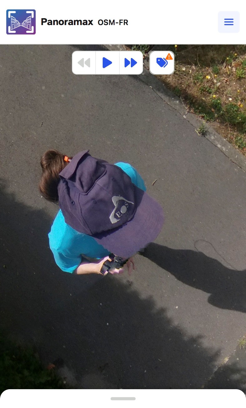
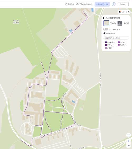
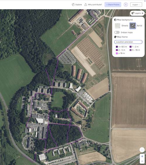
Another recent project involves contributing to Panoramax, an open-source and decentralized alternative to Google’s Street View. Panoramax has many applications. In the short term, we want to use it as support to make our campus more accessible. The street-level views can assist with mapping on OpenStreetMap, providing data for routing services. They can also be used for vision positioning.
We ran a few tests for collecting the data, using a 360 camera on a pole, and the Arrow’s antenna in its special cap, collecting the GPX track with the GPS Logger app for Android. We use the open CentipedeRTK network for corrections. The timestamps of the photos are then matched with the GPX track in Java OpenStreetMap Editor (JOSM). The Arrow 100+ really helps with providing a reliable position in complex environments.
4. Do you have a favorite memory from your projects with Eos hardware?
One day I am teaching about John Snow’s 1885 cholera outbreak map; the next I am flying a drone or making figures for a scientific paper.
We have students specializing in Precision Agriculture. They need to understand the notions around positioning and the differences between LBAS, SBAS, and RTK. After I give them a lecture on the topic of positioning, I take them outside for a treasure hunt with the Arrows. This is usually a fun activity, although often rainy.
5. Do you have a favorite feature of Eos GNSS receivers?
I like the freedom of using the receivers with any app. The receiver and the Eos Tools Pro app take over the phone/tablet’s location and give us complete freedom over the workflow.
6. Is there anything we didn’t ask you that you’d like to share with us?
Eos Positioning Systems’s customer service is always very reactive and helpful. I feel like I can openly share feedback and ask for advice.
Explore Related Content

Customer Spotlight: Dr. Kevin Wilcox Captures Antarctic Bathymetry with Extreme Precision and Passion
Join ocean mapping researcher Kevin Wilcox as he captures Antarctic bathymetry using the Arrow Gold+® GNSS receiver with Galileo HAS for extreme precision.
Customer Spotlight: Sarah Beaulieu Honors Indigenous History with GNSS
Learn how Sarah uses GNSS and GPR to map gravesites at Indigenous Residential Schools with precision and respect.