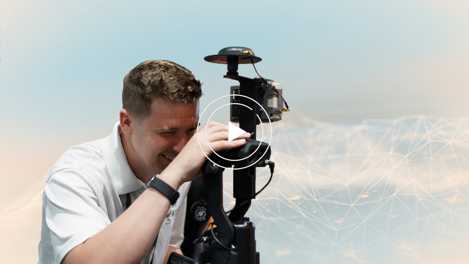
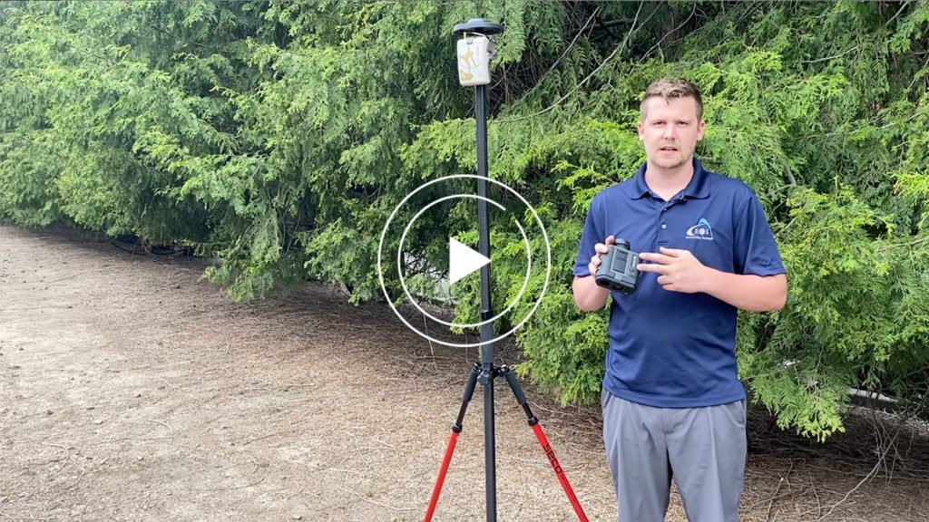
What does each of the three available Eos Laser Mapping™ methods look like in the field? In these three quick video demonstrations, an Eos representative performs a complete data capture using each of the three available Eos Laser Mapping™ methods:
- Range-Azimuth
- Range-Backsight
- Range-Range (sometimes called “Range-Intersect”)
After you see what each method looks like, we invite you learn more about choosing which workflow works best to fit your needs. Visit “Eos Laser Mapping: Choose Your GPS Workflow” after reading this article. You can also contact our team for personal guidance on choosing the best workflow for your application.
Workflow 1: Range-Azimuth
The Range-Azimuth workflow requires the following equipment:
- An Arrow Series® GNSS Receiver
- Eos Tools Pro
- ArcGIS Field Maps (or ArcGIS Collector)
- iOS® Device (iPad®, iPhone®) version 11 or later, (OR)
- Android Mobile Device – Please note that as of March 29, 2022, this solution will also run on Android mobile devices.
- An LTI Laser Rangefinder: LTI TruPulse 360 Laser Rangefinder (choose the international model of the TP360R when purchasing)
- Eos Bridge™ (recommended with the TruPulse 360 international model for the Range-Azimuth method)
Recommended Mounting Equipment for Range-Azimuth:
- Eos range pole
- LTI TruPulse Range Pole Bracket
Workflow 2: Range-Backsight
The Range-Backsight workflow requires the following equipment:
- An Arrow Series® GNSS Receiver
- Eos Tools Pro
- ArcGIS Field Maps (or ArcGIS Collector)
- iOS Device (iPad, iPhone) version 11 or later, (OR)
- Android Mobile Device – Please note that as of March 29, 2022, this solution will also run on Android mobile devices.
- LTI Laser Rangefinder equipment:
- LTI TruPulse 200X Laser Rangefinder
- LTI MapStar TruAngle Angle Encoder
Recommended Mounting Equipment for Range-Backsight:
- Tripod
- LTI TruAngle Mounting Bracket (with TruAngle)
Workflow 3: Range-Range (aka Range-Intersect)
The Range-Range workflow requires the following equipment:
- An Arrow Series® GNSS Receiver
- Eos Tools Pro
- ArcGIS Field Maps (or ArcGIS Collector)
- iOS Device (iPad, iPhone) version 11 or later, (OR)
- Android Mobile Device – Please note that as of March 29, 2022, this solution will also run on Android mobile devices.
- An LTI Laser Rangefinder:
- LTI TruPulse 200X Laser Rangefinder
- LTI TruPulse 360 Laser Rangefinder (choose the international model of the TP360R when purchasing)
Recommended Mounting Equipment for Range-Range:
- Range pole
- LTI TruPulse Range pole bracket


