Accurate aerial imagery opens a world of geospatial possibilities — and GeoAcuity’s Will Forker is pushing those possibilities to their full potential.
As a Geographic Information Systems (GIS) Developer at GeoAcuity, a geospatial consultancy, Will uses high-accuracy drone data to create geospatially referenced products for his clients. To ensure the accuracy of the collected imagery, Will uses Eos Arrow Gold® global navigation satellite system (GNSS) receivers for ground control points (GCPs). Back in the office, he works with clients to process the data into products that meet their specific needs. Using photogrammetry and other processing tools, he can create custom orthomosaics, 3D point clouds, normalized difference vegetation indexes (NDVIs), and more. No matter the product, the process always starts with an important first step — collecting high-accuracy imagery.
Discover how he provides new perspectives on GIS data with his answers below!
1. Why are you passionate about your job?
I am passionate about my job for several reasons. First, I have many opportunities to contribute to research in the geospatial community. Next, I have the ability to create solutions and help others. And finally, I enjoy the ability to travel and work with people from all over the world!
2. How did you first find out about Eos Positioning Systems’ GNSS products?
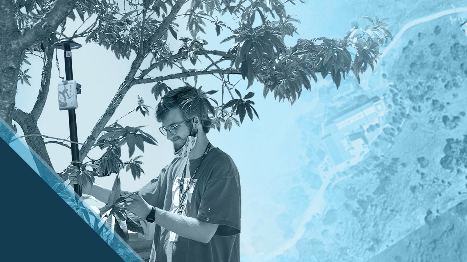
I first found out about Eos GNSS receivers while I was an intern for The Huntington Library, Art Museum, and Botanical Gardens in San Marino, California. There, I was involved in many projects that required high-precision mapping, such as expanding The Huntington’s plant map and utility map. Using the Eos Arrow Gold GNSS receiver with Esri’s ArcGIS® Field Maps (Field Maps), I was able to ensure consistent high accuracy in real time. Having assets mapped with centimeter-level accuracy ensures teams can easily navigate the gardens for plant curation, research, construction, and design.
3. What do you use Arrow Series® GNSS receivers for?
Currently, at GeoAcuity we use the Arrow Gold GNSS receiver with a satellite-based Atlas® subscription as a correction source. We enjoy the ease of having high accuracy in real time, available worldwide to collect GCPs for validating georeferenced drone imagery. With this, we can also ensure the accuracy of products derived from the imagery, such as 3D point clouds. Many drones do not have real-time kinematic positioning (RTK) abilities and lack high-quality GNSS signals. This is why having our GCPs captured on site ensures not only a high-resolution model, but also a high-accuracy one.
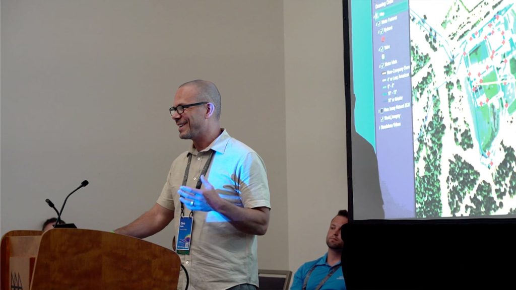
It is amazing to see all the different ways this technology can be applied across industries. Most of my time has been spent working with government clients, but I also work with private clients and academic institutions. A significant example is the partnership between GeoAcuity and the University of Southern California (USC) Dornsife Wrigley Marine Science Center (WMSC). They have been collaborating for many years in a mutually beneficial relationship surrounding the education and innovation of remote sensing technologies. Twice each year, GeoAcuity travels to Catalina Island near Los Angeles to help teach part of “The Catalina Experience,” a hands-on GIS Spatial Data Acquisition graduate level course taught by USC’s Spatial Sciences institute.


Both WMSC and its students benefit from high-resolution, up-to-date data collection activities that document the campus and its surrounding areas. GIS products generated include elevation models for hydrology, 3D models for line-of-sight analyses, orthophotos for roof inspections, and more.
For GeoAcuity, The Catalina Experience workshops serve as an opportunity to teach students the art and science of photogrammetry and to test new platforms and sensors. During our October 2023 workshop, we also used the opportunity to show the data-collection process to our new analyst, who will be working on drone-derived data. By attending the workshop, she was able to see how the data she processes is collected.
This recent trip is my fourth visit to WMSC, and I am always happy to go. The scenery is beautiful and can be different depending on the time of year, and the variety of landscapes provide variegated practice settings that train all involved to perform work on other field sites.


4. Do you have a favorite experience or memory from your projects with Eos Arrow?
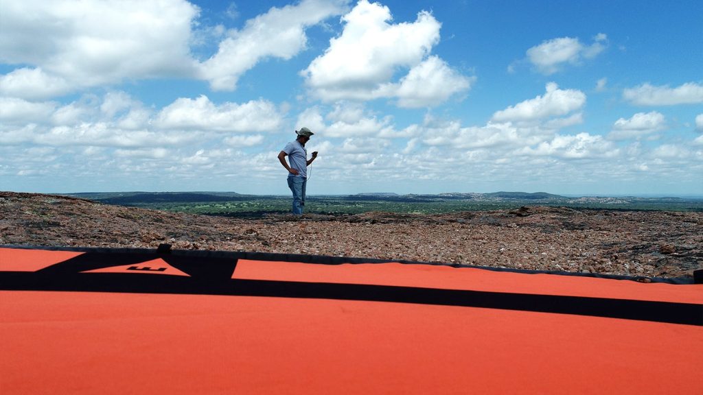
I very much enjoy using the Eos Arrow Gold in the field. I have used it in many, many places, from the mountains of Colorado to the forests of Georgia. Projects requiring Eos systems always seem to bring me to some of nature’s most beautiful places, so I am grateful for the experience to immerse myself in different parts of the country. It is also funny to see other people’s reactions to me setting up and holding the Arrow Gold. Often, they think that I am measuring soil moisture or gardening!
I appreciate the lightweight and transportable nature of the receiver. It is super convenient to take with me while traveling.
5. Do you have a favorite feature of Arrow GNSS receivers?
I appreciate the lightweight and transportable nature of the receiver. It is super convenient to take with me while traveling.
You May Also Like One of These Posts
American Water: Upgrading Data Collection and Drones [A 2022 Esri UC Session]
New Jersey American Water shares how they updated GNSS technology to save money, reduce time spent, and increase accuracy.
GNSS for Drones & Aerial Surveys
See why drone pilots choose Eos GNSS receivers to geo-reference imagery with RTK-level accuracy.
