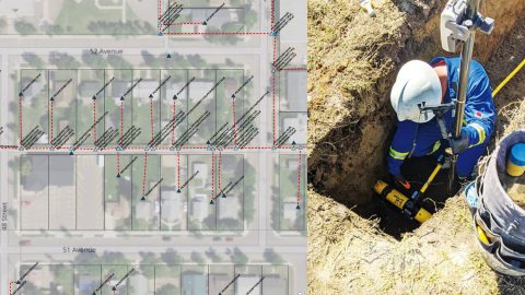
Apex Utilities uses an Arrow Gold® RTK GNSS base/rover configuration with Android tablets and ArcGIS Field Maps for tracking and traceability.

Apex Utilities uses an Arrow Gold® RTK GNSS base/rover configuration with Android tablets and ArcGIS Field Maps for tracking and traceability.

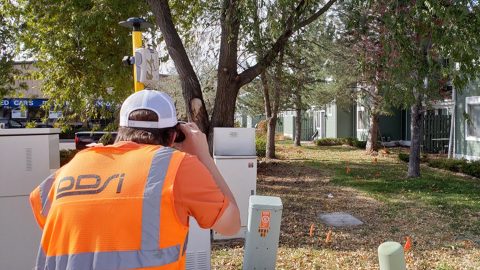
Denver’s DDSI maps utilities in tough-to-reach areas with Eos Laser Mapping for ArcGIS Field Maps during construction design phases.