To enable more accurate predictions about sea level rise, Dr. Kyle Emery is piloting a drone, GNSS, GIS, and satellite imagery workflow.
To enable more accurate predictions about sea level rise, Dr. Kyle Emery is piloting a drone, GNSS, GIS, and satellite imagery workflow.

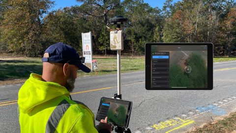
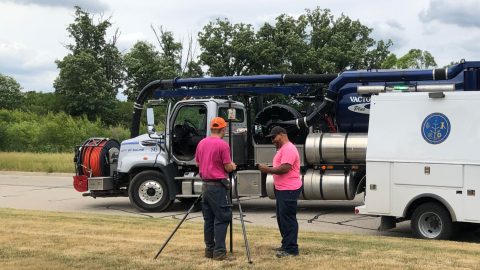
Hear how David Malm maps city infrastructure with high-accuracy GNSS in this exclusive video interview!
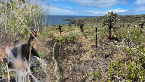
Charles Lehnen uses brand-new Galileo HAS corrections with the Arrow Gold+ in the Galápagos archipelago. His work will study Santa Fe Island’s rewilding.
Cassatt Water prepares for the next generation of field workers by adopting ArcGIS with a survey-grade Arrow Gold+ GNSS receiver—moving away from mapbooks.
Using drones, high-accuracy Eos GNSS receivers, and ArcGIS, Will is creating geospatially referenced 3D models for his clients.
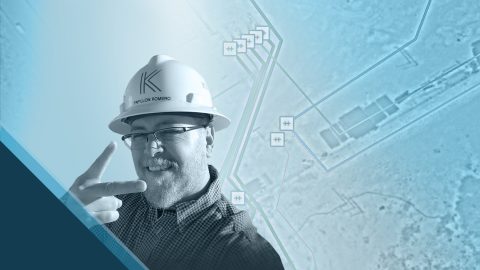
Papillon empowers employees to collect high-accuracy pipeline data efficiently and easily at the largest midstream provider in the Delaware Basin.
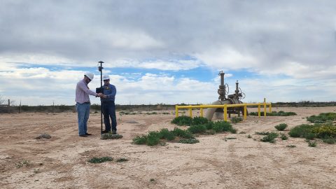
In the Delaware Basin, Texas midstream pipeline operator Kinetik has transformed GIS and location accuracy in the field and office.
The City of Saline brought GIS in house, deployed high-accuracy GNSS receivers, and is working toward a streamlined longterm master plan.

David provides community infrastructure solutions to municipalities using high-accuracy GNSS and GIS technologies.
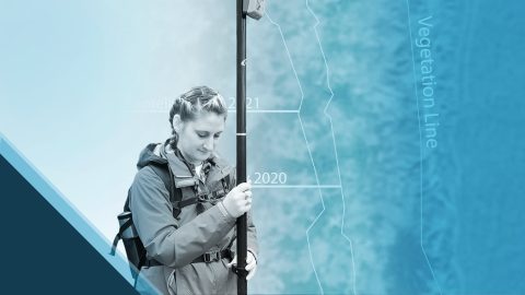
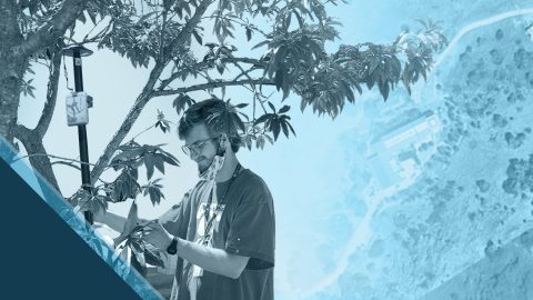
Emily Jane Murray maps coastal archaeological sites before their valuable history is lost to rising sea levels.