Damon Nelton overcame many challenges to develop a real-time, GPS as-builting workflow for gas-utility construction projects.
Damon Nelton overcame many challenges to develop a real-time, GPS as-builting workflow for gas-utility construction projects.

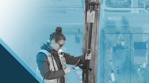
Learn how Ellie Chao uses Eos Arrow Gold® GNSS receivers with ArcGIS Field Maps to increase trust in the accuracy of data for her utility clients.
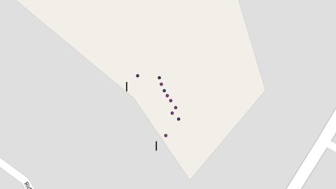
Sarah Beaulieu combines GPR and GNSS to locate grave locations at Indigenous Residential Schools across Canada.

Learn how to achieve high-accuracy as-built mapping for your gas utility in this April 2022 webinar from Esri and Eos Positioning Systems.
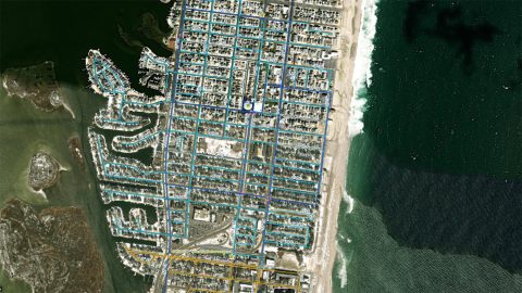
New Jersey American Water is saving $2.6M per year in OpEx by knowing a million asset locations with survey-grade accuracy.
Learn how Terraformation is combatting climate change by using high-accuracy GNSS / GIS to increase accountability for global reforestation projects.
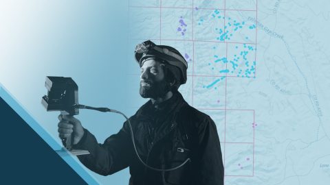
Priyesh Patel uses Eos Arrow 100® GNSS receivers with Esri ArcGIS® apps to aid the preservation of one of Earth’s most precious animals: bats.
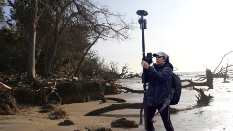
Learn how the South Carolina Department of Natural Resources uses high-accuracy GNSS to excavate artifacts before they are lost to climate change.
Learn how Nora Toro uses Eos Arrow GNSS receivers to help coworkers find optimal high-accuracy data collection workflows and strengthen trust in their data.
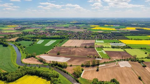
Since Germany reunited in 1990, the BVVG has been dedicated to privatizing lands formerly owned by East Germany. See how their mapping technology has evolved over decades.