The City of Rahway upgraded from a paper-based workflow to digital GNSS mobile mapping for the city’s sanitary sewer and stormwater systems.
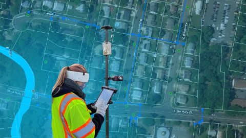
The City of Rahway upgraded from a paper-based workflow to digital GNSS mobile mapping for the city’s sanitary sewer and stormwater systems.

Did you know GIS might be behind your glass of wine? Learn how Summer Roberts uses GNSS to map vineyard properties in California.
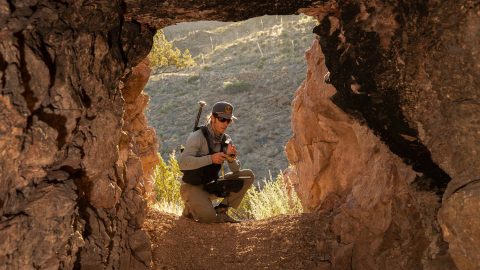
Bat Conservation International locates bat-friendly habitats with a combination of Esri ArcGIS Apps (e.g., Survey123) and Arrow GNSS receivers.
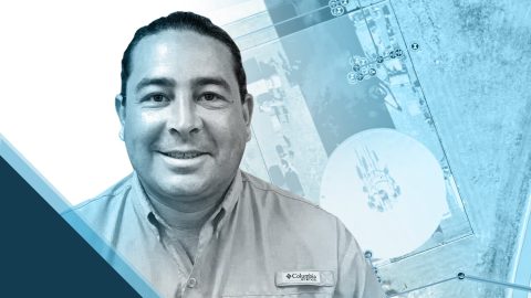
Zack Henry uses an Arrow Gold® with ArcGIS Field Maps for efficient data collection for utilities. When his clients succeed, Zack succeeds — and he brings that attitude to all his work.

The moment Amber Kuehn first laid eyes on a sea turtle, she knew she would be spending her life advocating for them. Learn how she uses Arrow GNSS to protect this endangered species.
By replacing physical boundary markers with highly accurate digital records, ADF Haiti enabled the deployment of modern machine technologies that improve farmers’ yield while retaining trust.
Four panelists share their experiences using Arrow GNSS receivers with ArcGIS apps and take audience questions.
Learn best practices for deploying high-accuracy Arrow GNSS receivers with Esri’s ArcGIS Field Maps. This webinar includes a customer presentation about his deployment, including demonstrations and Q&A.
Dave Babicki uses the Arrow Gold® GNSS receiver with Esri ArcGIS Field Maps to ensure quicker repairs, inform decision-making, and promote collaboration across his water district.
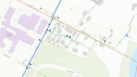
Previously it took 3rd-party contractors 1+ year to deliver Wilmington’s CAD as-builts. Now with ArcGIS Field Maps and Arrow GNSS, it’s near real time.